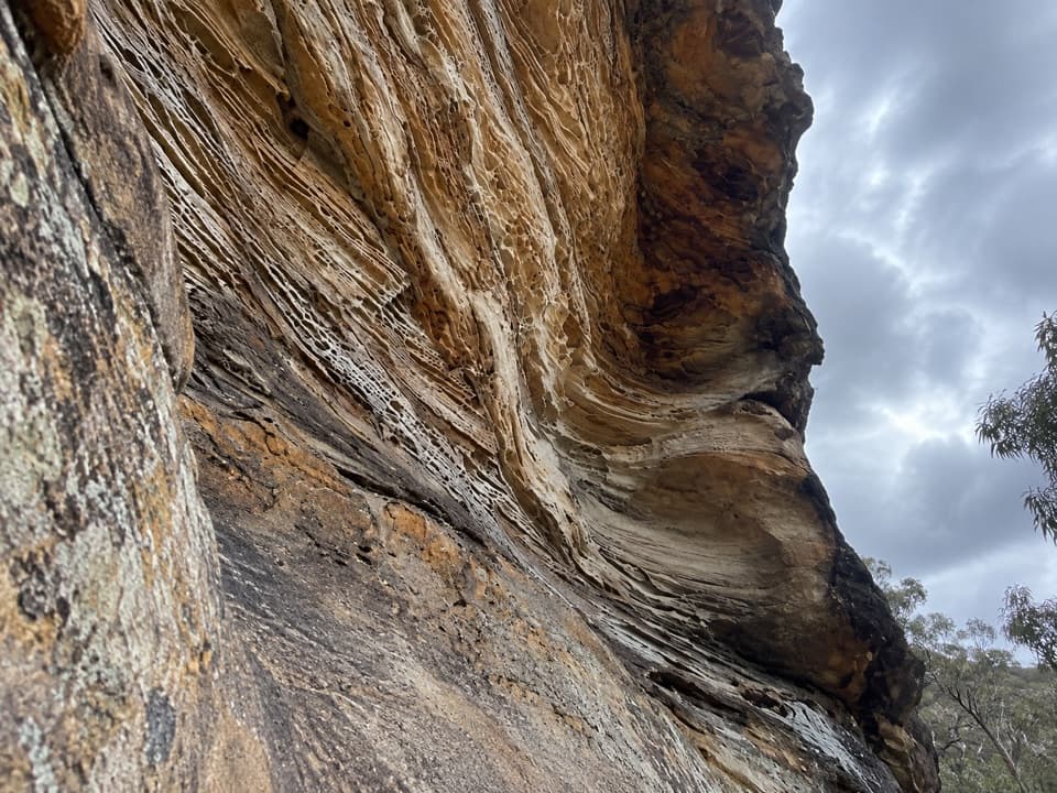
Wind Eroded Cave in Blue Mountains National Park

Sight · Blue Mountains National Park

Wind Eroded Cave

A short stop for wave-shaped sandstone and a Grose Gorge view.

Type
Sight
Nearest trail
0.1 km
Audio stories
6 nearby
  • Parking
  • Scenic viewpoint

Hear the audio tour

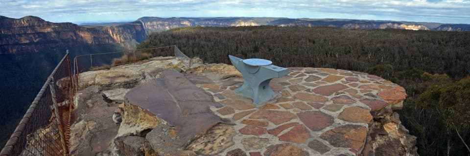
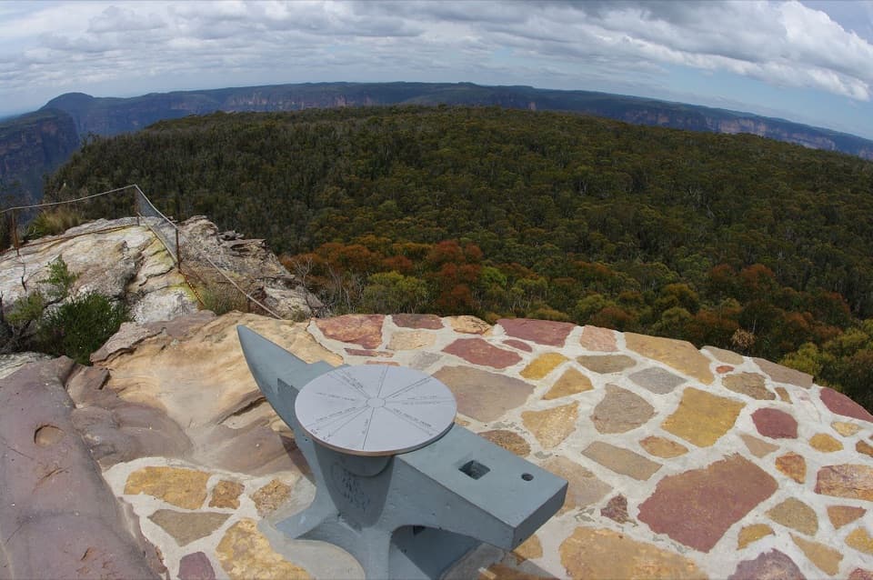
Anvil Rock and Wind Eroded Cave

Overview

About Wind Eroded Cave

Why stop

  • Unusual scalloped sandstone at close range
  • Easy to pair with Anvil Rock

Heads up

  • The approach uses an unsealed road

Map

Where it is

Loading the Blue Mountains map
Full map
SightWind Eroded Cave-33.59534, 150.33640
Keep this map with you offline in the Parkwolf app

Plan your stop

Before you go

3 active Blue Mountains alerts

  • ClosureRoads and tracks closed across Blue Mountains National ParkMany roads, fire trails and walking tracks across Blue Mountains National Park are closed; do not enter closed areas.Official details
  • CautionPark-wide solid-fuel fire banA park fire ban is active across Blue Mountains National Park: campfires and solid-fuel barbecues and stoves are prohibited. - Gas and electric cookers are permitted, subject to safety rules.Official details

See all 3 alerts
A park ranger sits on a dash-mounted phone, talking, as Parkwolf’s Tour Guide plays “Army Cutworm Moths: A Grizzly Bear Buffet” on Grand Loop Road below Dunraven Pass in Yellowstone
Parkwolf Tour GuideThe highest, rockiest slopes around here are a summer buffet for grizzly bears.

Blue Mountains Tour Guide

Your drive to Wind Eroded Cave, narrated.

Parkwolf is a GPS audio tour guide for Blue Mountains National Park. As you drive, it chimes in with what’s ahead: hidden gems, upcoming stops, history, geology, and wildlife, right through your car’s speakers.

See the Blue Mountains audio tour

Recorded for this place

Anvil Rock and Wind Eroded Cave
0:00 / 0:32
“You're nearing the shared car park for Anvil Rock and Wind Eroded Cave. Allow twenty to thirty minutes for both short walks, with steps up to the lookout and an exposed cliff edge.”

Plays as you drive up to Wind Eroded Cave in the Parkwolf Blue Mountains Tour Guide.

More stories near here in the app

  • Perrys Lookdown and Blue Gum Forest
  • Hat Hill to Bald Head
  • The Approach to Pulpit Rock Lookout
  • Pierces Pass and the Rigby Hill Walk
  • 188 audio storiesacross Blue Mountains’s roads, triggered by GPS as you drive
  • Wildlife heatmapsfor Grey Kangaroo, Wombat, Red-necked Wallaby, and 13 more
  • Works offlinemaps, 110 trails, 84 places, and audio download before you lose signal
  • CarPlay readysimple controls built for the drive
★★★★★
“Fantastic app with many points of information… It’s great to just turn on while you’re driving and it gives you an audio tour of the national Park. We love it!!!!”
JMJamesApp Store review
Download Parkwolf on the App StoreGet Parkwolf on Google Play

4.7 from 8,600+ ratings

Guide

More about Wind Eroded Cave

What you'll findWind Eroded Cave is an open sandstone overhang in the Blackheath section of Blue Mountains…

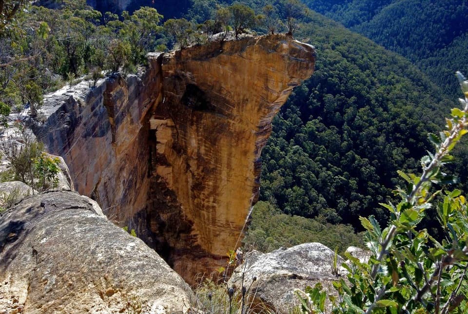
Wind Eroded Cave is an open sandstone overhang in the Blackheath section of Blue Mountains National Park. Its scalloped, honeycomb-like face is the main reason to stop. The name can suggest an enclosed chamber; this is an open cliff shelter, with the rock patterns close enough to inspect. The shared Anvil Rock car park makes it an easy short detour.

Fit it into the driveThe cave path begins across the shared car park from the Anvil Rock path and takes a few…

The cave path begins across the shared car park from the Anvil Rock path and takes a few minutes on foot. The approach from Blackheath follows unsealed Hat Hill Road to its end, so allow for a gravel-road drive and check park conditions before setting out. The area can close in poor weather or fire danger, and mobile reception is limited. No cave-side toilets, water or food service was confirmed; carry what you need. Dogs are not allowed in NSW national parks except certified assistance animals.

Read the rockThe main overhang is estimated at roughly 20 m tall, and smaller hollows continue higher along…

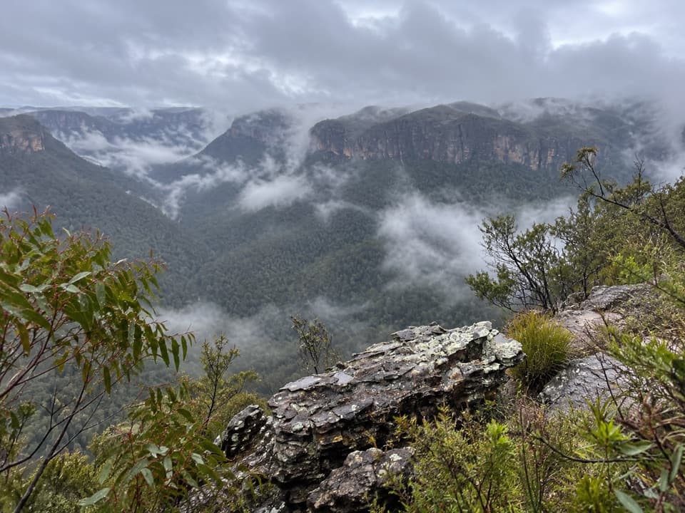
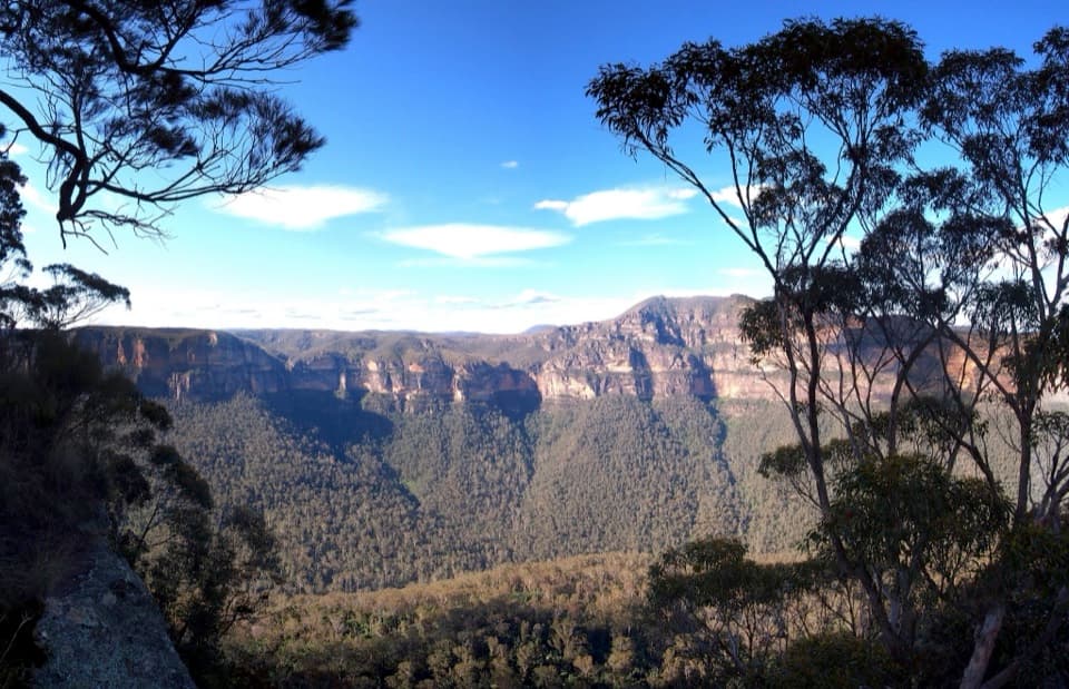
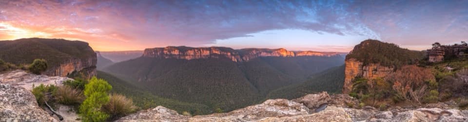
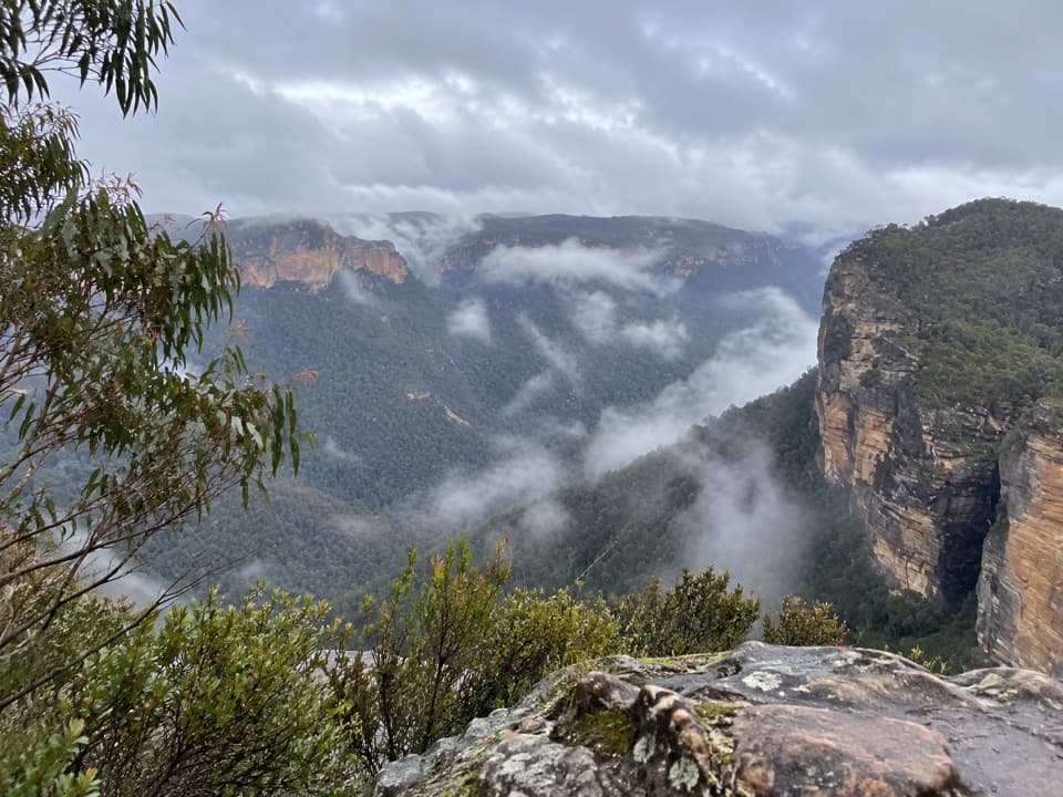
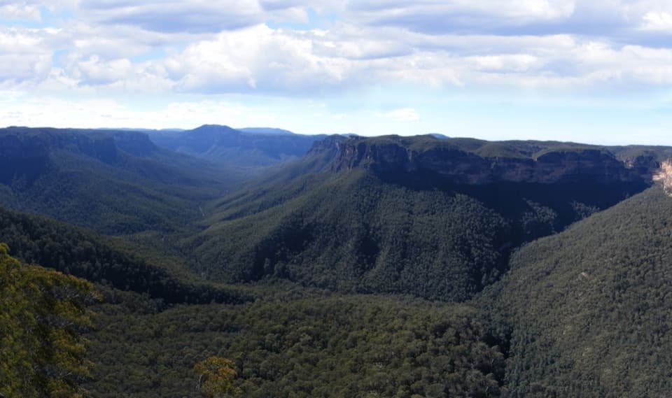
The main overhang is estimated at roughly 20 m tall, and smaller hollows continue higher along the rock. From the cave and nearby Anvil Rock area, the view opens across Grose Gorge toward Mount Banks. The sandstone's wave-like pockets are often linked to wind in the place name, but accounts of the erosion process conflict and there is no authoritative explanation for this exact formation. The patterns are the sure thing; the precise mechanism is not.

Get the texture in a photoA low, close view brings out the ridges and pockets; use a wider frame to include the gorge…

A low, close view brings out the ridges and pockets; use a wider frame to include the gorge beyond for scale. Warm early or late light can pick out the sandstone texture, though the rock also has deep shaded areas. Stay on the established visitor path and do not climb onto unstable edges for a shot.

Wildlife

Wildlife in Blue Mountains

All Blue Mountains wildlife maps

Sighting maps show where each species has been reported across Blue Mountains. Wildlife moves, so no sighting is guaranteed.

Keep exploring

Near Wind Eroded Cave

See it all on the map

Trails nearby

More stops nearby

Parkwolf’s Blue Mountains ranking

Top sights in Blue Mountains

All 84 places
  1. 1Echo Point Lookout (Three Sisters)Sight
  2. 2Govetts Leap lookoutSight
  3. 3Wentworth FallsSight
  4. 4Scenic WorldSight
  5. 5Katoomba FallsSight
  6. 6Evans lookoutSight

Take Parkwolf to Blue Mountains.

The audio tour guide for the drive, plus offline maps, trails, and wildlife heatmaps for when the signal drops.

4.7 from 8,600+ ratings

Download Parkwolf on the App StoreGet Parkwolf on Google Play