Challenging

Mount Banks Summit Walk

Short, steady climb to big Grose Valley views—best before the summit.
Mount Banks Summit Walk, Blue Mountains National Park
Distance2.2 mi
Typical time2.5 hr
DifficultyChallenging
PetsNot allowed

Overview

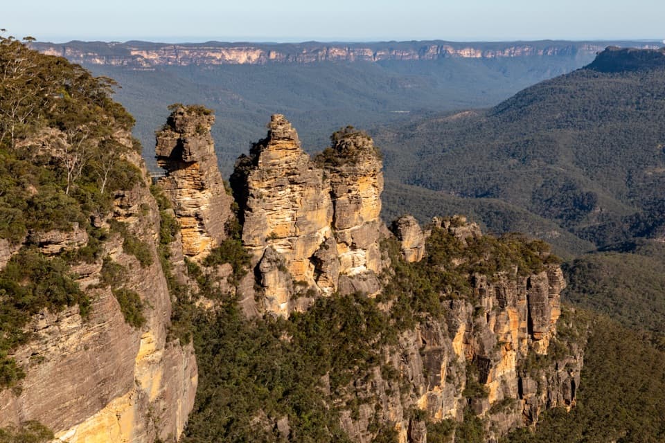
A quieter Blue Mountains gem, the Mount Banks Summit Walk delivers outsized Grose Wilderness views for a relatively short effort. It’s an out-and-back to the 1,049 m summit from Mount Banks Picnic Area, with an official total distance of 3.5 km return. Expect a steady climb with steps and a few steeper pinches. Most hikers will be out 2–3 hours.

Trail Experience

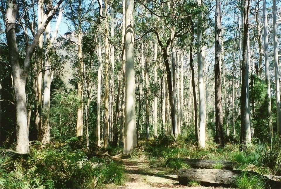
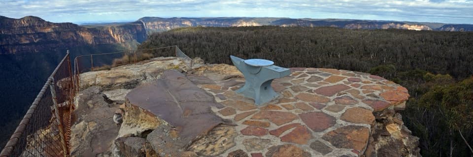
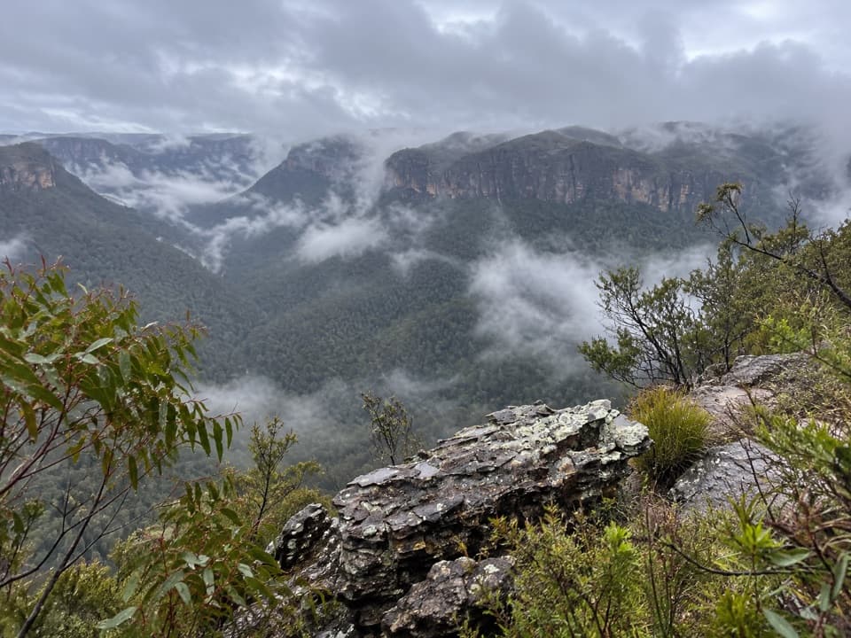
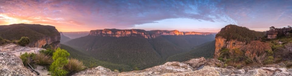
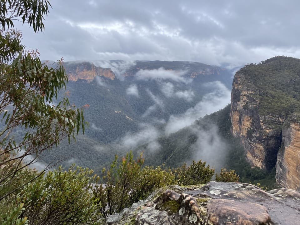
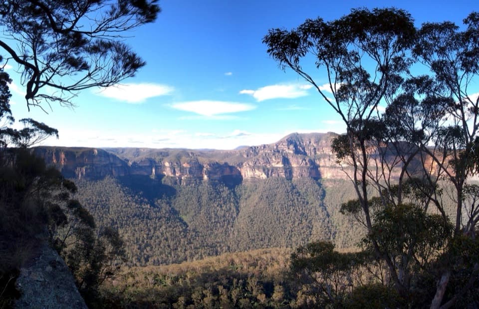
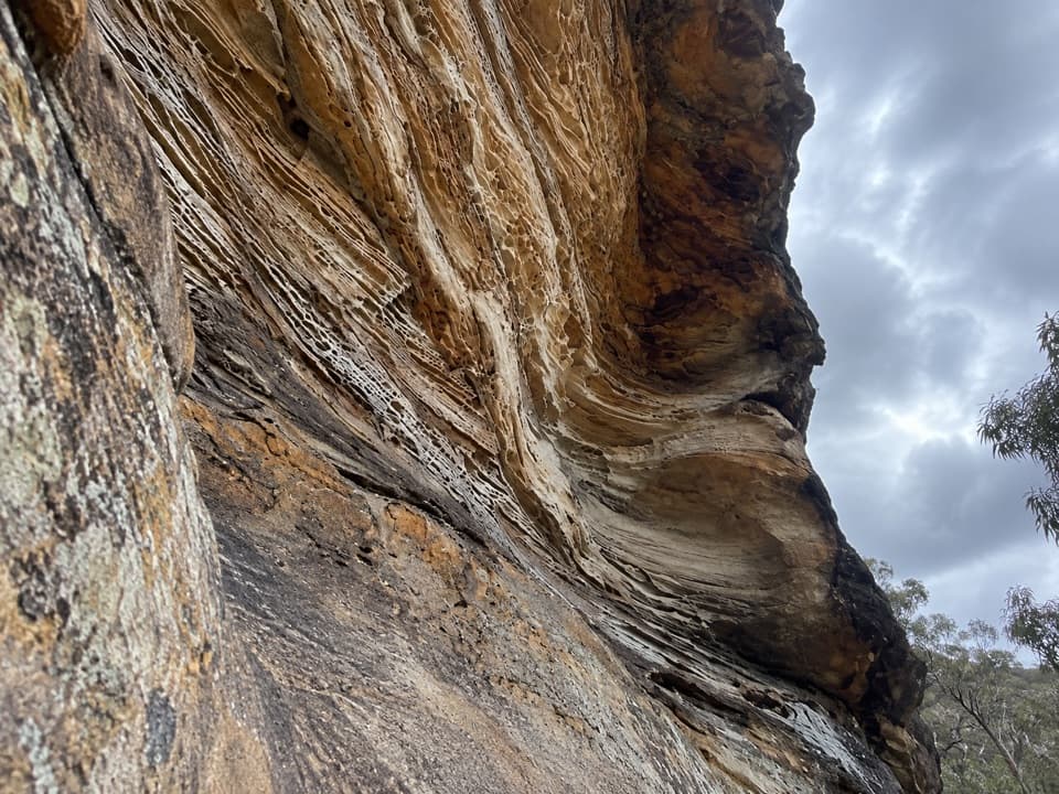
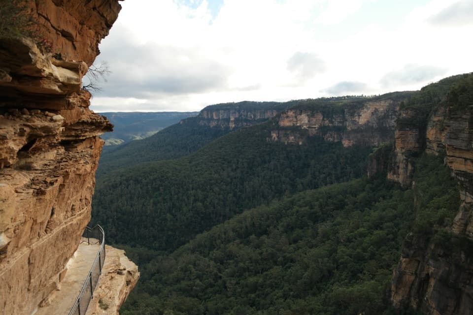
From the picnic area, the track climbs through windswept heath before transitioning to a taller eucalypt forest near the top (look for the distinctive monkey gum community). The ridge sections open to sweeping panoramas across the Grose Valley and northern escarpment—these mid-climb lookouts are the real highlight. The summit itself is lightly wooded, so views up top are more filtered than the outlooks you’ll pass on the way. The main route is signposted and easy to follow, though signage at the car park can be a touch confusing at first. Surfaces range from a formed path and steps to narrower, rougher tread near the top; not suitable for prams or wheelchairs.

If you want a touch more distance with gentler gradients, you can link the ridge and the management/fire trail into a longer circuit (about 5 km); the fire trail is less scenic but easier on the knees.

Nature & Quiet

This area sees far fewer visitors than the Katoomba side of the park, so solitude is part of the appeal. Keep an ear out for Superb Lyrebirds in the gullies, and watch for signs of wombats. Greater gliders occur in the summit forest (they’re nocturnal, so think dusk if you’re hoping for a chance encounter).

Best Time to Hike

It’s a year‑round walk, but go on a clear day to maximize those Grose Valley vistas. The Mount Wilson area runs cooler than Sydney; crisp winter days often bring the best visibility (and fewer bugs). Weekends are still fairly quiet compared to the busier parts of the park. The ridge can be very windy and exposed, so pack a layer and consider earlier or later light for softer photography.

Tips & Essentials

  • Distance is 3.5 km return; allow 2–3 hours at an unhurried pace. NPWS classifies this as a harder Grade 4 walk due to the climb and rough sections.
  • There are many steps and short steep sections; trekking poles help on the descent.
  • No toilets or water on the track—carry what you need. Mobile reception may be limited.
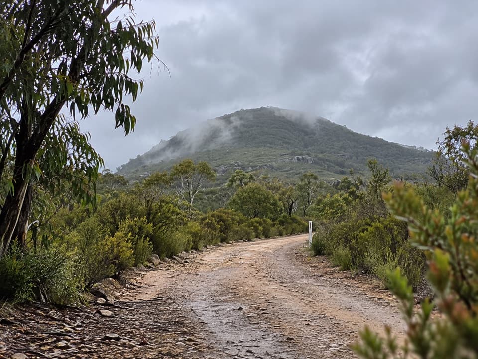
  • Access is via an unsealed spur off Bells Line of Road; it’s suitable for 2WD. The car park can fill on nice weekends, but overall it’s a low‑crowd spot.
  • Standard national park rules apply: no pets; avoid days of heightened fire danger; reconsider after heavy rain.

A Bit of History

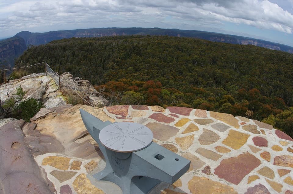
Named for Sir Joseph Banks in the early 1800s (it was briefly dubbed Mount King George in the 19th century), the summit trig still carries the “King George” name—a fun relic to spot when you reach the top.

Pros

  • Big Grose Wilderness views without the usual Blue Mountains crowds
  • Short route with varied heath-to-eucalypt forest scenery

Cons

  • Summit views are limited by trees; the best vistas are on the ascent
  • Exposed, windy ridge sections can be unpleasant in bad weather

Parking

Park at Mount Banks Picnic Area via a short unsealed spur off Bells Line of Road (2WD suitable). Car park can fill on nice weekends but the area is generally quiet.

Caution

Steep sections and many steps; narrow, sometimes overgrown track near the summit; exposed and windy ridge; no water or toilets; limited mobile reception; unsealed access road; check fire danger and avoid after heavy rain.

The Parkwolf tour guide sitting on a phone mounted in a car

Parkwolf Tour Guide

Like a tour guide in your car.

Bring Blue Mountains trail research into the car, with offline maps and stories that play as you drive.Download Parkwolf on the App Store