Pros & cons
PROS
- Direct access to the old A9 path/cycle track and General Wade’s Military Road
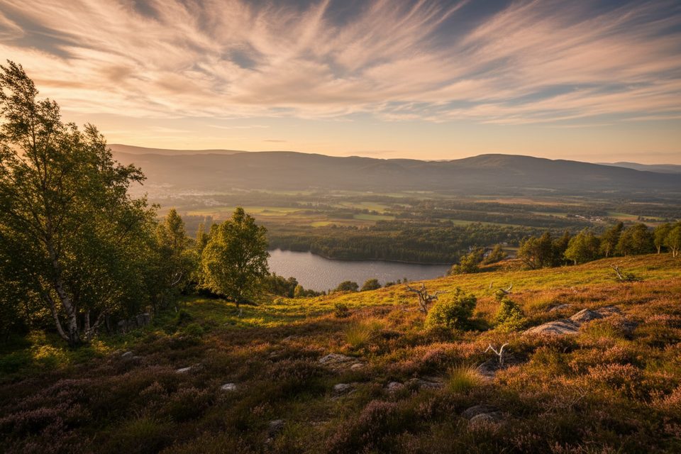
- Quiet moorland views with visible stone-clearance heaps and birch slopes
- Handy A9-side parking/pullout at the summit
CONS
- No on-site facilities
- Exposed, changeable weather on open moorland
Overview
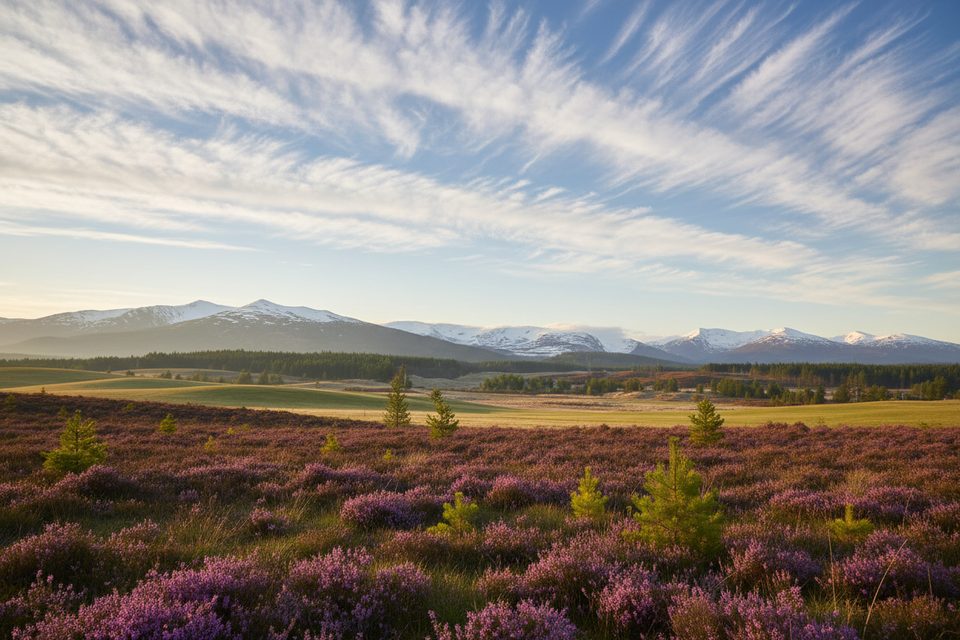
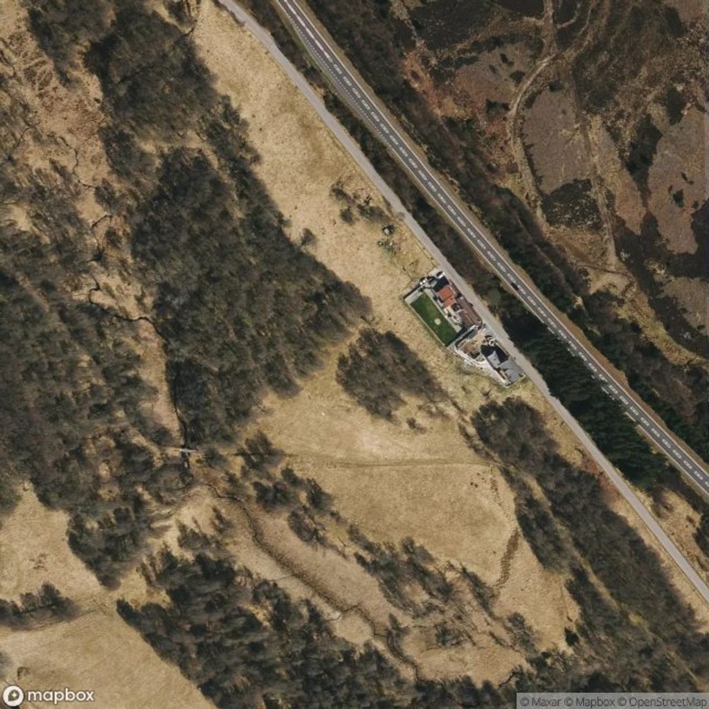
Slochd Pass is a quiet Highland corridor where road, rail, and trail thread through open moorland. It sits beside the A9 and the Highland Railway, with views over birch-dotted slopes and cleared stone heaps that hint at past land improvement. The old A9 alignment survives here, and a remnant now continues north as a path and cycle track. It’s a low-fuss stop that opens up easy exploring without the crowds.
What You’ll See
Expect expansive moorland, scattered birch, and the striking sightline of three historic and modern routes sharing the pass: the A9, the Highland Railway, and the old A9 turned path/cycle way. Look for the large piles of stones cleared from the moor during agricultural improvement — they’re part of the landscape’s story.
Historic Lines of Travel
Beyond the old A9, you can pick up sections of General Wade’s Military Road near Slochd, with estate tracks branching off toward the grouse moors. It’s a satisfying, tangible slice of Highland route history, all within a short wander of the summit area.
Nature & Conservation
The area includes designated conservation habitat: European dry heaths, including a notable heather–bearberry community. You’ll walk through classic upland heath and birch edges, with open views and a good chance of typical Highland birdlife along the corridor.
Logistics
There’s a small parking/layby by the A9 at the summit and straightforward access to the old-road path/cycle route. That said, don’t expect facilities — no toilets, water, or food on site — so arrive prepared. Surfaces vary from minor road to track; footwear for mixed terrain is sensible.
Activities
- Cycling and walking are the main draw, using the old A9 path/cycle track and nearby estate tracks.
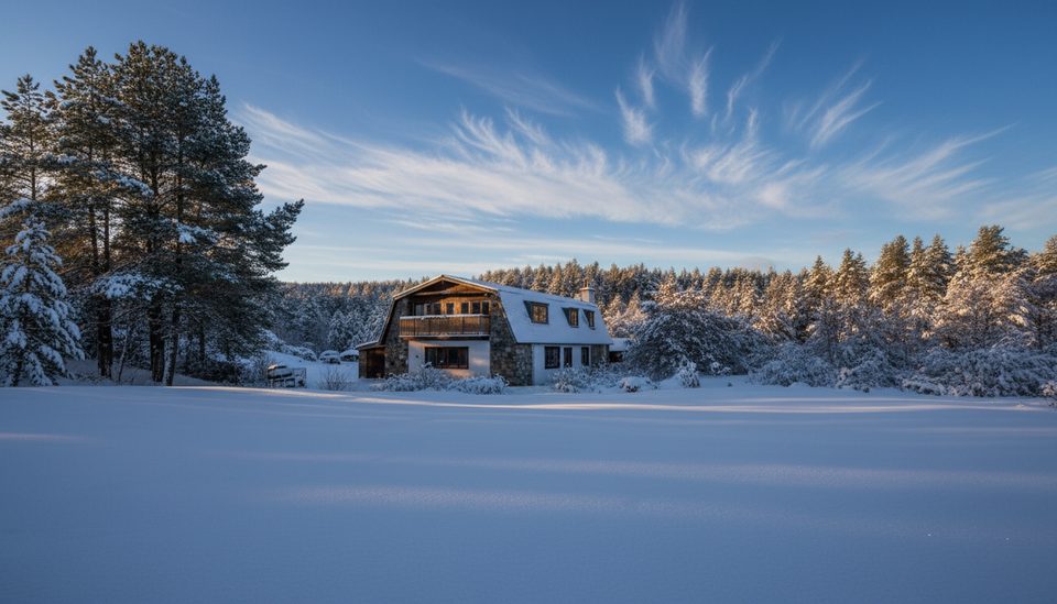
- In winter, this corridor is used by cross-country skiers when conditions line up, taking advantage of the area’s tracks and relative quiet.
Best Time to Visit
- For walking/cycling, pick a calm, settled-weather day — this is exposed country. Early or late light flatters the moorland and keeps things tranquil.
- Winter visits can be rewarding for cross-country skiing if snow conditions allow.
- It’s generally quieter than the big hubs, so weekdays or shoulder seasons feel pleasantly empty.
Where it is
57.2935, -3.9189Tips for Slochd
- 01Use the old A9 path/cycle track north from the summit to avoid A9 traffic.
- 02Seek out the junction with General Wade’s Military Road for a short historic detour.
- 03Bring windproof layers, water, and snacks — there are no services on site.
- 04Park at the A9 summit layby/pullout and set off directly from there.
Amenities
Near Slochd
All places →All trails →
0.3 mi awaySlochd Mhor LodgeRemote bunkhouse base beside NCN7 with views and gear hireLodging · Parking
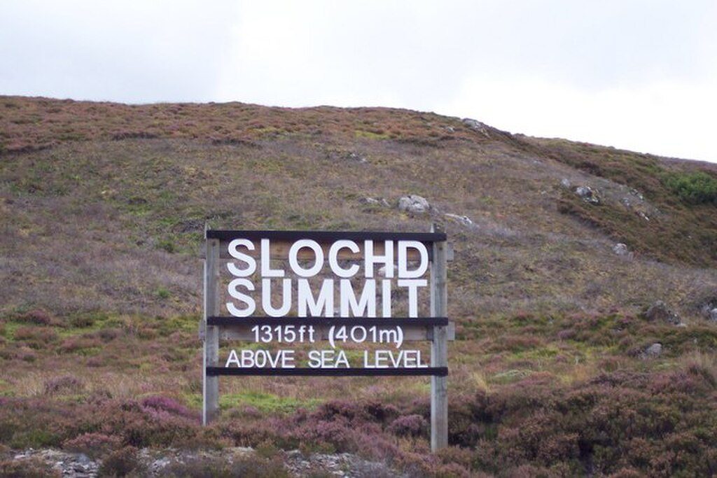
1 mi awaySlochd SummitWindy Highland pass with big views and layered transport historyScenic Viewpoint
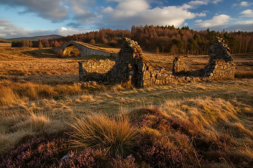
2.1 mi awaySlugganHump-backed 18th-century bridge in a quiet River Dulnain settingScenic Viewpoint
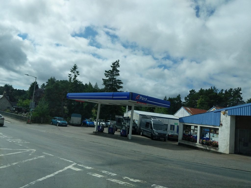
3.9 mi awayPaceHandy village petrol stop with friendly service and useful extrasGas Station
7.2 mi awaySpeyside Way: Aviemore to Boat of GartenGentle forest-and-moor link with Cairngorm views and steam trainsEasy · 6.3 mi · 2.8 hr
8 mi awayEast Highland WayQuieter Highlands traverse from Ben Nevis to Aviemore’s pinewoodsModerate · 82 mi · 45 hr
8.2 mi awayCraigellachie Nature Reserve Viewpoint TrailQuick Aviemore escape to birchwoods, lochans, and a big summit viewEasy · 2.7 mi · 1.5 hr
8.2 mi awayCraigellachie Lochan TrailShort lochan loop with birchwoods, crags, and easy access from AviemoreEasy · 0.4 mi · 36 min