
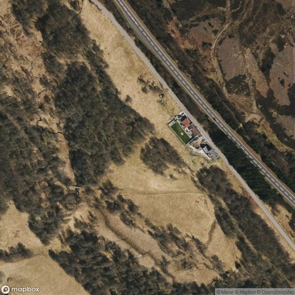
Place · 1 mi away
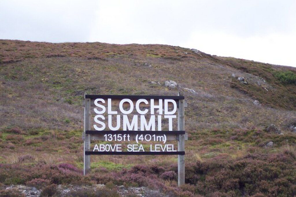
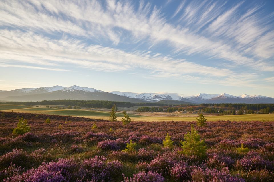
A classic Highland pass between Inverness and Aviemore, Slochd Summit pairs big, open moorland scenery with a neat bit of transport trivia: both the A9 and the Highland Main Line crest here, with signs marking their respective high points. It’s the second-highest summit on this route after Drumochter, and the views—especially on a clear day—feel expansive and wind-swept.
Expect birch-fringed slopes giving way to rolling heather moor and long sightlines along the pass. Trains occasionally snake through on the adjacent railway, adding a touch of drama. Most people experience Slochd as a quick scenic pause along the road or from the nearby minor road toward the small locality of Slochd.
National Cycle Network Route 7 crosses the summit, largely following the old A9 for a quieter, traffic-free stretch. The historic General Wade’s Military Road also threads through the area, giving walkers and cyclists a sense of the Highlands’ long-used corridors without needing a full mountain day.
This corridor includes sensitive habitats, and parts of the area are designated for conservation. Keep to established paths and verges where possible, control dogs, and tread lightly—especially on fragile soils and vegetation. Patient eyes may spot moorland regulars like game birds and raptors, with deer and sheep in the mix.
This is an undeveloped pass, not a built-up viewpoint. There are no restrooms, food, or services at the summit. Weather turns quickly and it’s often windy and exposed; bring layers and waterproofs even for a short stop. In winter, snow and ice are very possible—plan accordingly.
Clear days make the views pop; mornings or late afternoons give kinder light for photos. It’s typically a brief stop rather than a destination, so crowding isn’t the issue—just pick a safe place to pull off on the nearby minor road and be mindful of fast traffic on the A9.
Place · 1 mi away
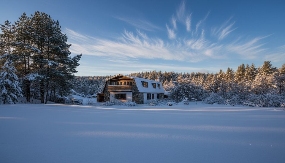
Place · 1.3 mi away
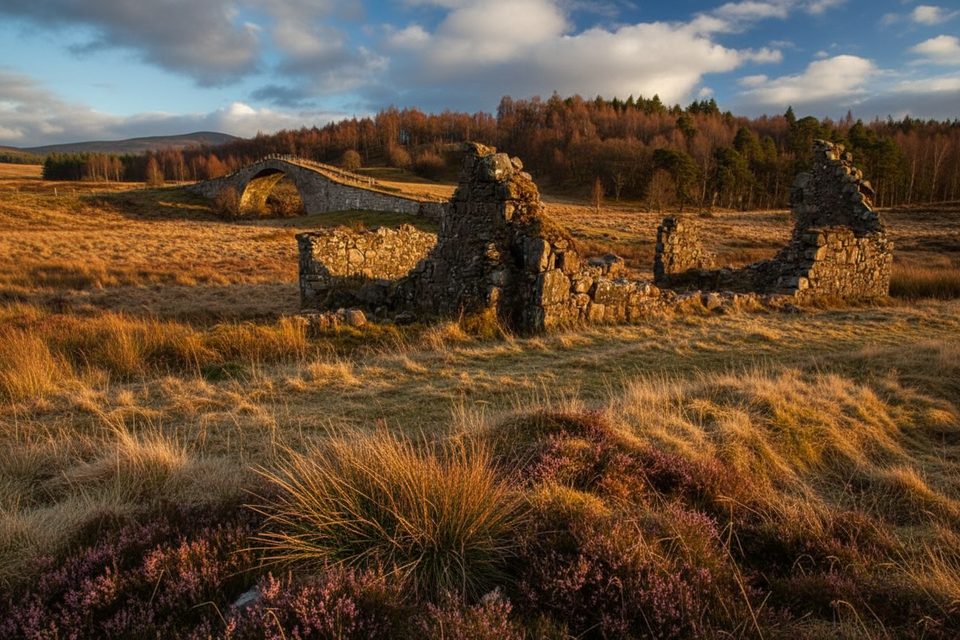
Place · 3.1 mi away
Place · 4.6 mi away
Easy · 8.3 mi away
Moderate · 9 mi away

Easy · 9.2 mi away
Easy · 9.2 mi away

Parkwolf Tour Guide
