
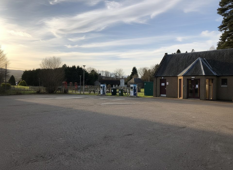
Place · 0.1 mi away
Moderate
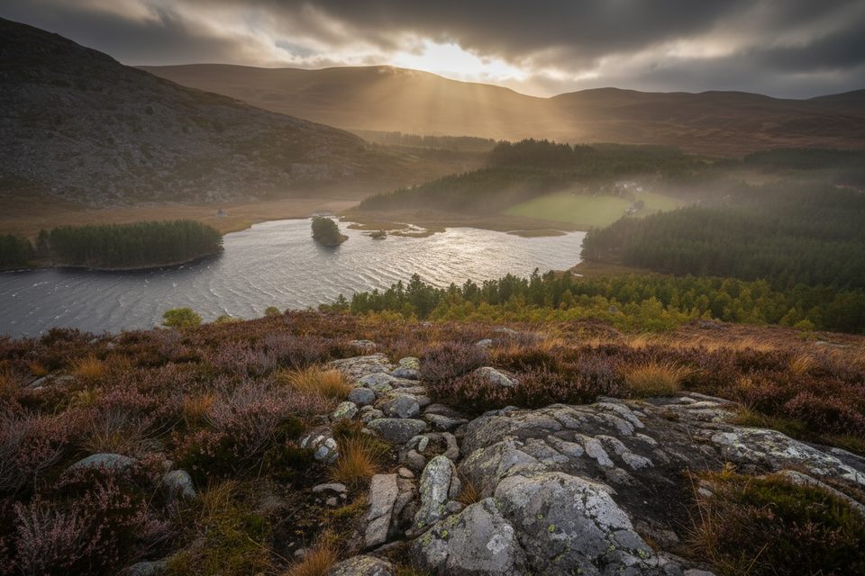
This is Kingussie’s go‑to hill walk: a short, satisfying circuit from town to the 487 m summit of Creag Bheag and back. Expect a proper mix—quiet woodland, open moor, and a rocky top with big Badenoch and Spey Valley panoramas—all packed into a compact outing. It’s popular for good reason.
Start from Ardvonie car park in central Kingussie (by the town information board) and follow signed local paths toward Creag Bheag. The loop climbs steadily through mixed woodland before breaking onto more open, sometimes stonier ground for the final pull to the summit. Descents commonly loop back toward town, with options to swing by additional paths (including Tom Baraidh) if you want to extend. The standard circuit is roughly 3.5 miles total and typically takes 2–2.5 hours at a moderate pace.
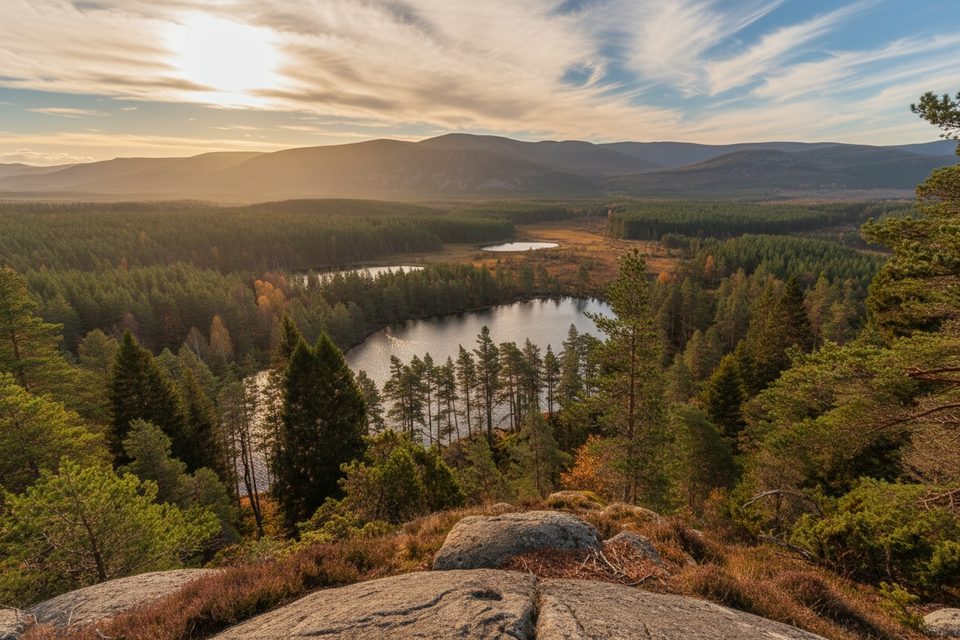
From the top, you’ll get broad views over Kingussie, the River Spey, and towards the high Cairngorms. Lower down, the trail threads peaceful pine and mixed woods and passes small lochans and moorland fringes. Keep an eye out for Red Squirrels in the trees and Red Deer higher up, plus plenty of birdlife along the way.
Underfoot it’s a blend of town pavements at the start/end, forest paths, and rougher hill tracks near the summit. It’s straightforward but not flat—expect a steady climb and some uneven, rocky or rooty sections. After wet weather, lower paths can be muddy; in winter, snow and ice often linger on the upper slopes. Navigation is generally clear, but bring a map and compass—mobile signal can be patchy and cloud can drop fast.
Park at Ardvonie car park; it’s free and has an information board that outlines the local network so you can shorten or extend on the fly. No permits are required. Wear boots with good grip, especially after rain or in winter. Dogs are welcome under responsible control; use a short lead near livestock and take extra care during the ground‑nesting bird season.
Year‑round. Spring and summer bring greener woods and longer days; autumn colors make the forest sections shine. In winter, the hill can be a fun, bite‑sized challenge if you’re kitted for icy paths. Go early or on weekdays for quieter summit time and softer light over the Spey Valley.
Ardvonie car park in central Kingussie, behind the Duke of Gordon Hotel; trail information board at the car park.
Steady, sometimes steep ascent on rough, uneven paths; muddy after rain and icy in winter. Mobile signal can be patchy—carry map and compass. Keep dogs under close control, especially near livestock and during ground‑nesting bird season (spring–summer).
Place · 0.1 mi away
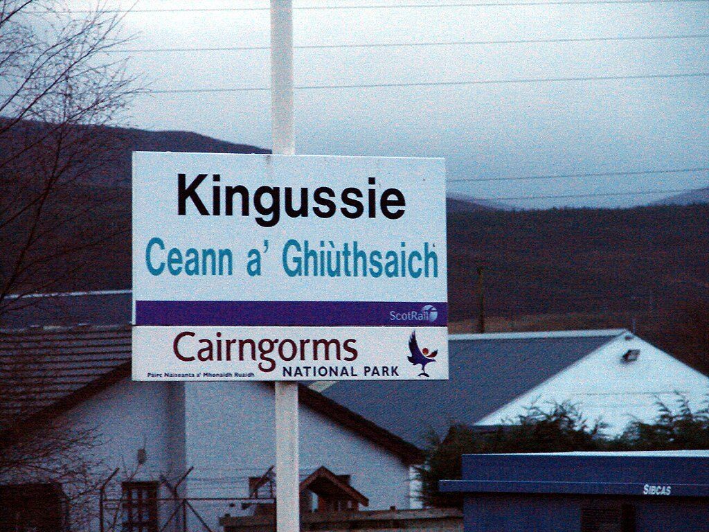
Place · 0.1 mi away
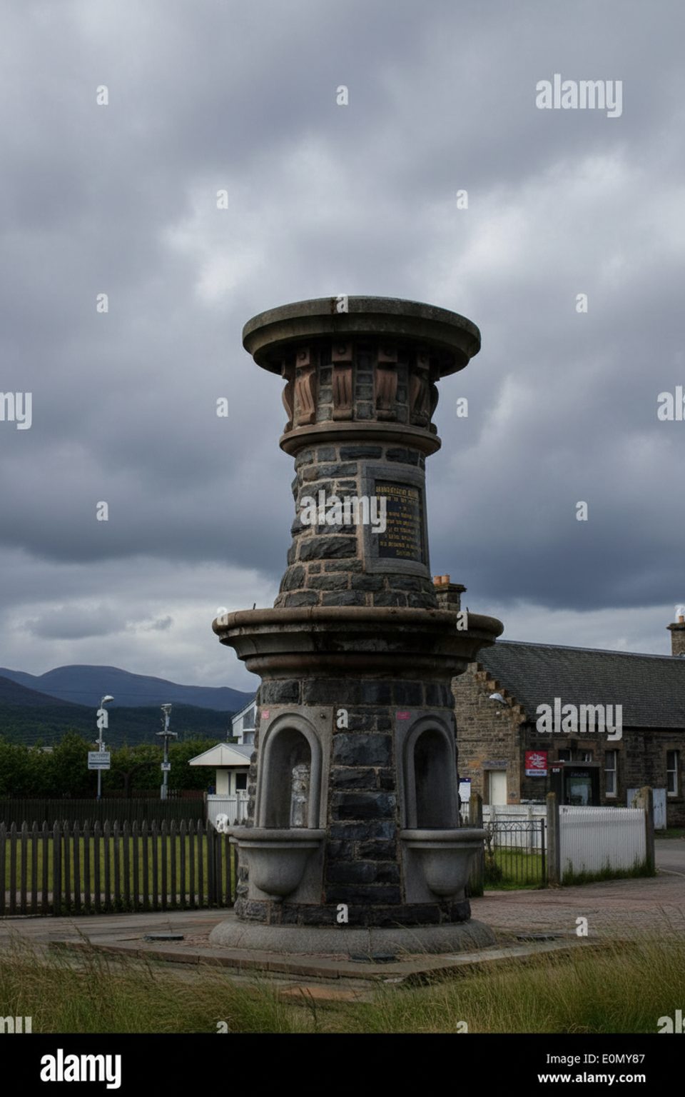
Place · 0.1 mi away
Place · 0.2 mi away
Easy · 1.3 mi away
Easy · 2.7 mi away
Moderate · 2.7 mi away
Easy · 5 mi away

Parkwolf Tour Guide
