
Place · 0 mi away
Moderate
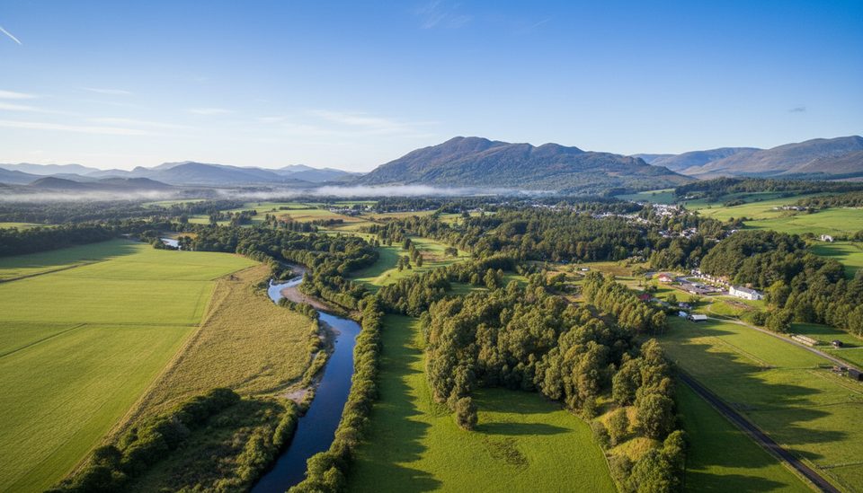
The Wildcat Trail is a 10 km/6.2 mile loop that completely encircles the village of Newtonmore. It packs a lot of variety into a single circuit: banks of the River Spey, open heather moorland, wooded glens, and small, burbling burns. Expect occasional views toward the Cairngorm and Monadhliath Mountains, plus scenic touches like a gorge and waterfalls in places.
This is a village-based countryside walk that feels bigger than it looks on the map. It’s well waymarked with wildcat symbols and can be started almost anywhere thanks to numerous access points—great if you want to tailor distance. Underfoot, the terrain is mixed: largely clear paths with some short, steep sections and spots that can be rough, stony, or muddy. Plan for 2.5–3.5 hours at a moderate pace for the full loop.
The route highlights Strathspey’s natural heritage and its connection to the native Scottish wildcat. You’ll see wildcat-themed waymarking and can pair the walk with the village’s family-friendly Wildcat Experience. Keep an eye out for river and woodland birdlife along the Spey and in the glens—and remember that the Scottish wildcat is elusive even here.
Open year-round, but it shines from spring through autumn when footing is most reliable and the moorland and rivers are at their best. In winter or after heavy rain, sections beside the Spey can flood and become impassable; be ready to turn back or use diversions if needed.
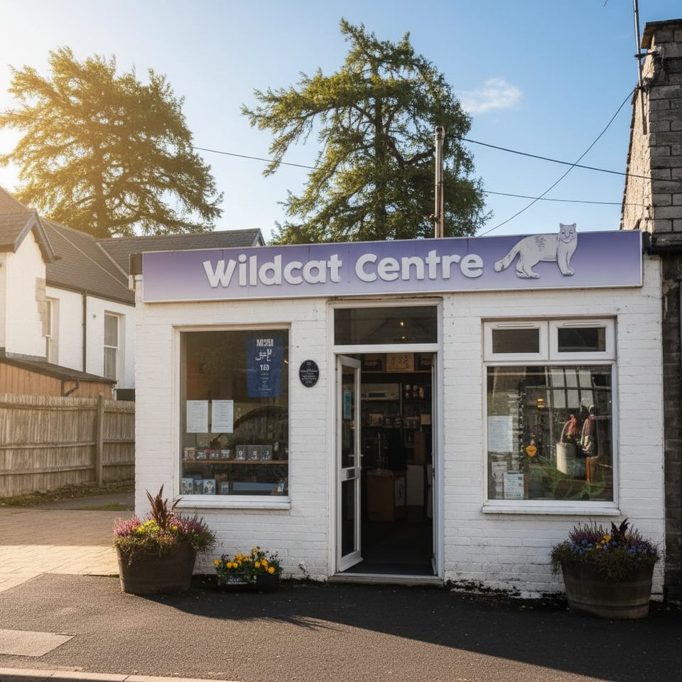
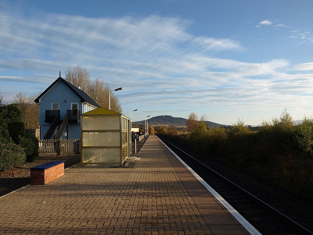
You can begin at Newtonmore train station or from the Wildcat Centre on the High Street, and there are many link paths from around the village. Grab a printed map from the Wildcat Centre or the local Post Office, or use an online map/GPX to stay oriented. Waterproof boots are smart after rain. Dogs are welcome but must be on lead around livestock. Note there may be a signed diversion on the Calder path where a short section has washed out, and the route includes gates, stiles, and a railway crossing.
A thoughtfully waymarked, varied countryside circuit that delivers a mini–Cairngorms sampler without committing to remote hill terrain. If you like mixing riverside rambles with moorland and woodland in one go—and appreciate easy access and local character—this loop is a solid half-day choice.
No dedicated trailhead car park noted; start from Newtonmore train station or the Wildcat Centre and join the loop from multiple village access points.
Expect muddy, uneven ground with short, steep sections; gates, stiles, and a railway crossing. Riverside stretches near the Spey may flood—especially in winter—so check for signed diversions (e.g., Calder path) and be prepared to reroute. Keep dogs on lead around livestock.
Place · 0 mi away
Place · 0.1 mi away
Place · 0.2 mi away
Place · 0.8 mi away

Easy · 0 mi away
Moderate · 2.7 mi away
Easy · 3.7 mi away
Easy · 4.8 mi away

Parkwolf Tour Guide
