
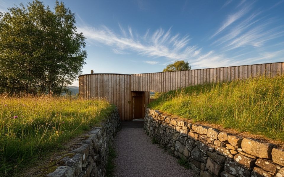
Place · 0 mi away
Easy
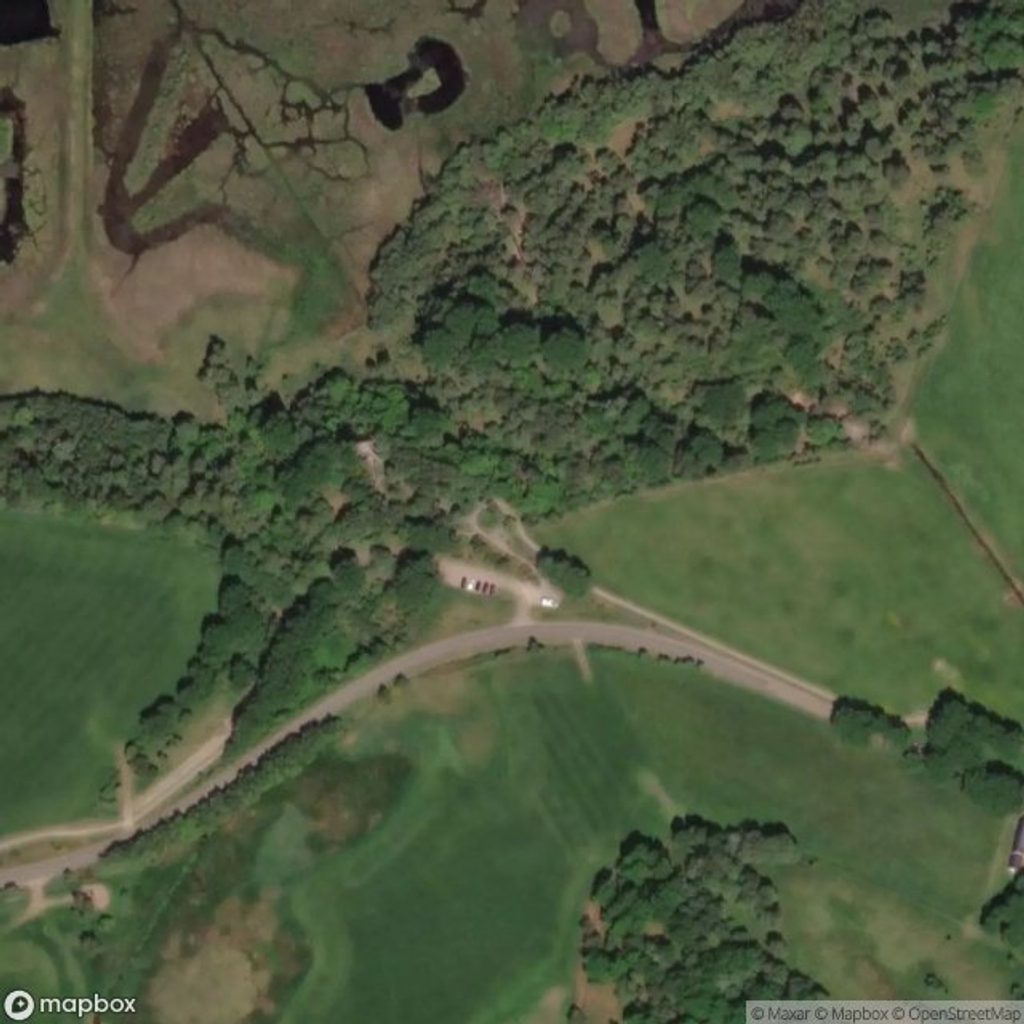
A gentle, waymarked loop skirting the edge of one of Britain’s most important natural floodplains, the Insh Marshes Low Ground Trail (often signed locally as the Invertromie Trail) is all about big skies, open wetlands, and wildlife. Starting from the RSPB Insh Marshes/Invertromie car park just off the B970, the loop is roughly 2.5–3 miles total and typically takes 1–1.5 hours, depending on how long you linger at viewpoints and hides.
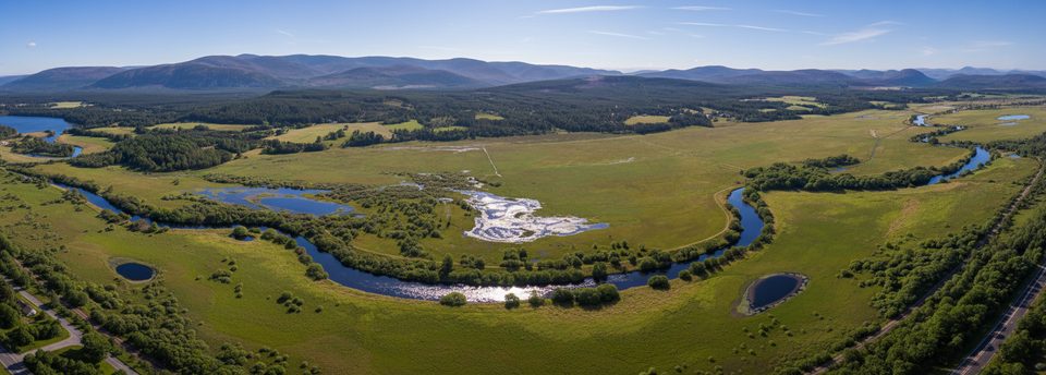
This is classic floodplain scenery: sedge and rushy meadows, pools and channels, and a ribbon of light woodland giving way to vast views across the River Spey’s marshes. It’s a prime birdwatching circuit—bring binoculars. In spring and summer, watch for breeding waders like Curlew, Lapwing, and Redshank. In autumn and winter, the tone shifts to whooper swans and wintering wildfowl, with the chance of Hen Harrier quartering the marsh. Hides and lookouts—including The Lookout near the car park and the Invertromie Hide along the route—are positioned for unobtrusive viewing.
Expect mostly natural, unsurfaced paths—soft underfoot, sometimes uneven, and often muddy after rain. It’s essentially flat, but there are occasional steps (particularly at hides) and gates. It’s an easy loop for most walkers, but not fully accessible for wheelchairs or pushchairs. Wear waterproof boots year‑round; in wetter periods parts of the floodplain can hold standing water.
There’s genuine year‑round interest here. April through August brings peak activity from breeding waders and wildflowers, though paths can be wetter in spring. Autumn and winter deliver dramatic, water‑rich marsh vistas and the arrival of whooper swans and other wintering birds. Whenever you go, check the forecast—weather shifts quickly—and plan for wind exposure on the open edges of the marsh.
There are no toilets, café, or shop at the reserve; nearby Kingussie has amenities. Picnic benches are dotted around (including an adapted bench at the car park). Dogs must be kept on short leads—especially April to August to protect nesting birds. You may encounter conservation grazing (sheep, cattle, or ponies) on parts of the floodplain; follow waymarks and on‑site guidance. There’s no public transport to the car park, so arrive by car or bike. If you’re here for birds, pack binoculars and take your time at the hides—the wildlife is the headline act.
If you want mountain drama, look elsewhere. But if tranquil wetlands, sweeping views, and superb birdlife sound like a good day out, this loop delivers—quiet, educational, and rewarding in every season.
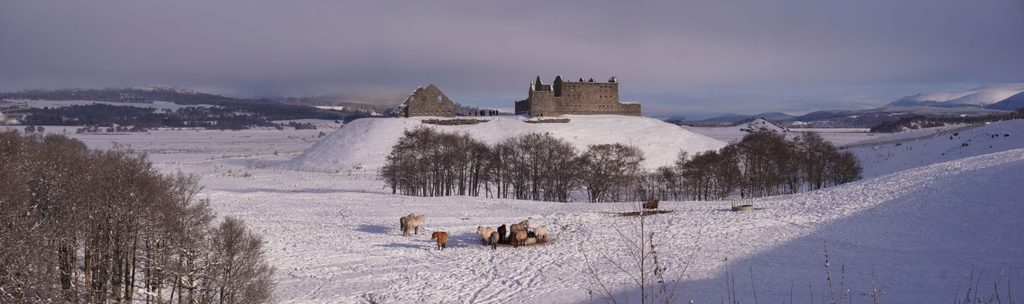
RSPB Insh Marshes/Invertromie car park off the B970, about 0.5 km east of Ruthven Barracks.
Unsurfaced, sometimes muddy paths with occasional steps; seasonal standing water on the floodplain; conservation grazing may be present—follow signs; no on‑site facilities; dogs must be on short leads, especially April–August.
Place · 0 mi away
Place · 0 mi away
Place · 0.7 mi away
Place · 1.1 mi away
Moderate · 1.3 mi away
Easy · 3.7 mi away
Moderate · 3.7 mi away
Easy · 4 mi away

Parkwolf Tour Guide
