Parking
From Kincraig, follow the road toward Insh, take the signed left fork onto the no-through road, and continue about 1.6 km to the car park on the right. The final approach is narrow and winding; a picnic area is beside the lot.

#23 of 260 trails in Cairngorms
Cairngorms National Park, SC
A short marked circuit pairs lochan views with marsh boardwalk.
Overview
Map & elevation
Plan your hike

The highest, rockiest slopes around here are a summer buffet for grizzly bears.
Cairngorms Tour Guide
Parkwolf is a GPS audio tour guide for Cairngorms National Park. As you drive, it chimes in with what’s ahead: hidden gems, upcoming stops, history, geology, and wildlife, right through your car’s speakers.
See the Cairngorms audio tourRecorded for this trailhead
Uath Lochans and Farleitter Crag“Uath Lochans is ahead, with small lochs and marshy woodland to explore on foot. I'd choose the white-marked loop for a gentle forest outing: about an hour, with boardwalks and a few short steeper sections.”
Plays as you drive up to this trailhead in the Parkwolf Cairngorms Tour Guide.
More stories near here in the app
“Fantastic app with many points of information… It’s great to just turn on while you’re driving and it gives you an audio tour of the national Park. We love it!!!!”


Trail guide
The Uath Lochans Trail is a white-marked 1½-mile (2.4 km) loop around small lochans and wet woodland; allow about an hour. The path is mostly gently graded, with a few short moderately steep sections. Stay with the white markers at junctions: the red-marked Farleitter Crag Trail is a separate, longer and steeper walk.
From the car park, the route begins on a forest track curving around a lochan, then turns onto narrower gravel and boardwalk over marsh. The boardwalk leads to the north end of the largest lochan, where the trees open toward Farleitter Crag and the Glen Feshie hills. The white route skirts the lochan, rejoins a track near a bench, then crosses heather and small pines before returning by the short shared access path. At the northern shore, frame the water and foreground woodland with the crag beyond.
Look for frogs beside the paths and dragonflies over the wet ground; neither is guaranteed. Uath is pronounced “wah,” and the name means “hawthorn small lochs.” The route’s character comes from the close shifts between forest track, narrow path, marsh boardwalk and water, rather than a climb to a summit.
A picnic area is beside the car park. There is no café or toilet at the site; food options are in Kincraig, and public toilets are in Aviemore, Glenmore and Kingussie. Dogs are welcome in the forest; keep them under control or on a lead around wildlife or livestock, and pick up after them. The final approach road is narrow and winding.
Wildlife
 159 sightingsRed DeerMost seen around 7 AMSighting map
 63 sightingsReindeerMost seen around 6 PMSighting map
 102 sightingsOspreyMost seen around 5 PMSighting map
 37 sightingsBlack GrouseMost seen around 4 AMSighting map
 72 sightingsRed GrouseMost seen around 6 PMSighting map
 82 sightingsPine MartenMost seen around 9 PMSighting map
Sighting maps show where each species has been reported across Cairngorms. Wildlife moves, so no sighting is guaranteed.
Keep exploring
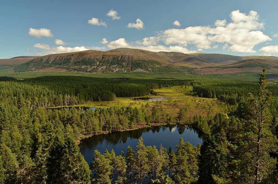 ChallengingFarleitter Crag Trail4 km · 1.5 hr · At the trailheadA steep climb through old pines to a crag above the lochans.
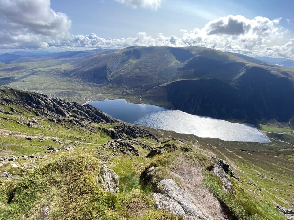 ChallengingSgòr Gaoith from Glen Feshie15.4 km · 6.5 hr · 2 km awayA pinewood climb to a cliff-edge summit above Loch Einich.
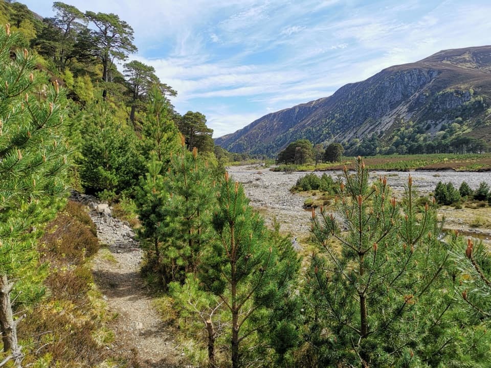 ChallengingGlen Feshie Drove Road35 km · 10 hr · 2.6 km awayA remote 35 km crossing from pine woods to open Cairngorm moorland
 ModerateThieves’ Road, Feshiebridge to Glen More17.9 km · 5 hr · 2.6 km awayA historic crossing links Inshriach Bothy and Loch Morlich.
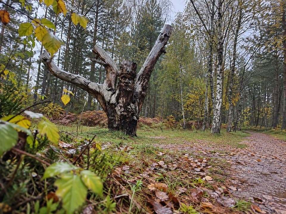 EasyFrank Bruce Sculpture Trail1.6 km · 45 min · 2.8 km awayA gentle woodland loop through Frank Bruce's sculpture remains.
 ModerateInshriach Forest Loop5.2 km · 2 hr · 2.8 km awayA gravel loop through Inshriach Forest, with western Cairngorm views.
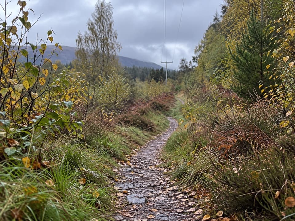 ModerateFeshiebruach Trail1 km · 45 min · 2.8 km awayA pinewood loop for blaeberry, heather and red squirrel spotting.
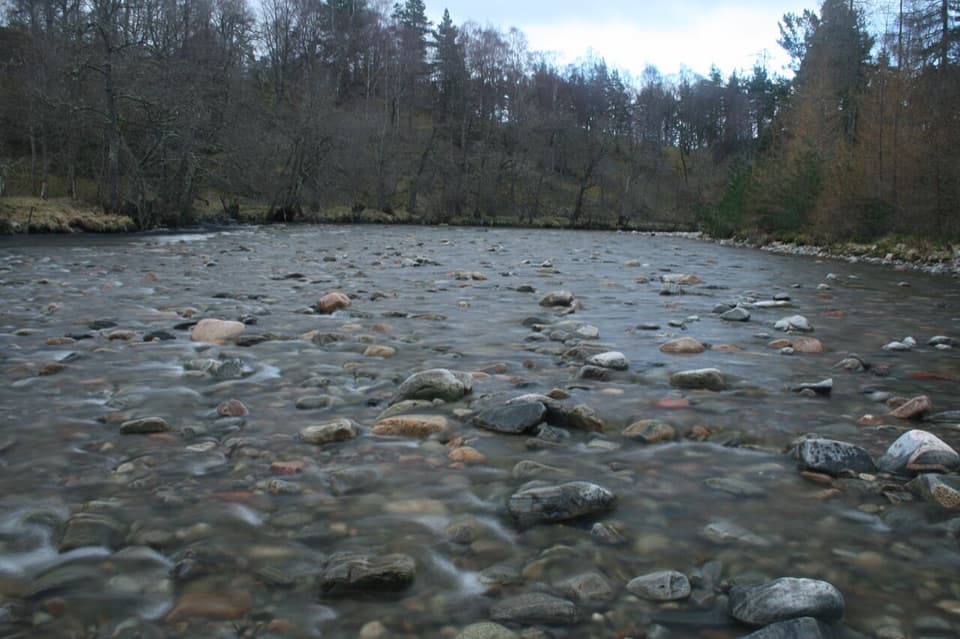 ModerateRiver Feshie Trail2 km · 1 hr · 2.8 km awayShort, rugged River Feshie loop with rough paths and narrow bridges.
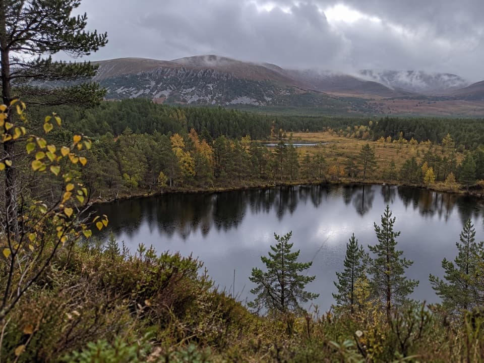 Sight · At the trailheadUath LochansSmall woodland lochs, with a steep climb to Strathspey views.
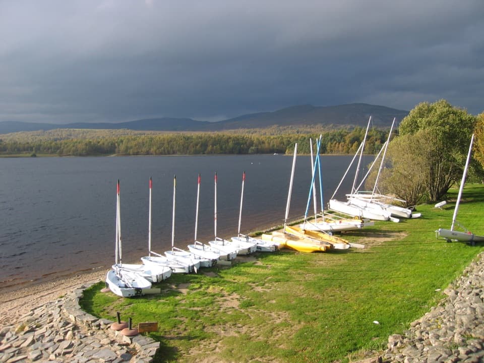 Sight · 2.2 km awayLoch Insh Outdoor CentrePaddle in summer, ski in winter, and eat beside the loch.
 Sight · 3 km awayHighland Wildlife ParkSee the reserve by car, then explore the animal habitats on foot.
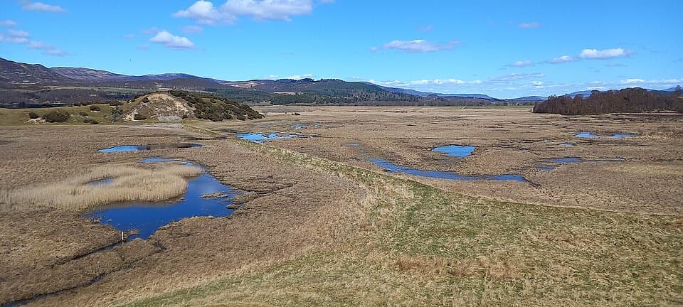 Sight · 6.4 km awayInsh MarshesA slow walk earns bird hides and wide floodplain views.
 Campground · 6.4 km awayDalraddy Holiday ParkA forested camping base with Thai food and activity options.
 Sight · 7.5 km awayRuthven BarracksCulloden's aftermath is written into these roofless barracks.
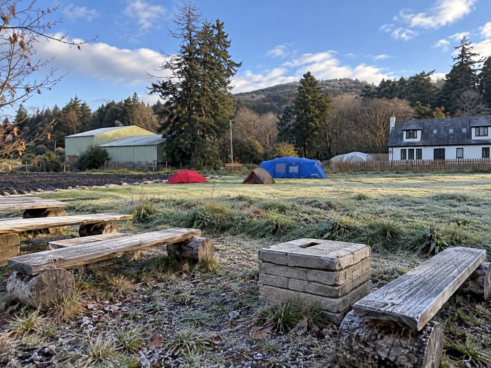 Campground · 8.3 km awayKingussie Camping & AireA practical motorhome stop beside Kingussie station.
 Sight · 8.7 km awayLoch an EileinAn island castle makes this easy loch loop memorable.
Parkwolf’s Cairngorms ranking

The audio tour guide for the drive, plus offline maps, trails, and wildlife heatmaps for when the signal drops.




