

Place · 2.8 mi away
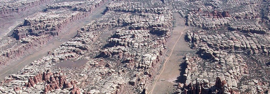
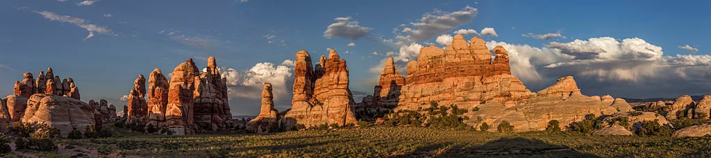
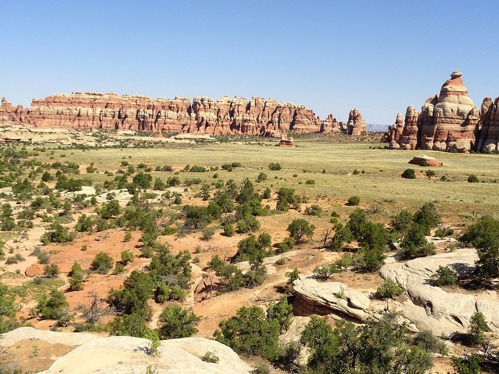
The Grabens are a maze of long, straight-to-gently-curving valleys separated by steep rock ribs in the Needles District. They’re not just photogenic—this landscape is still moving ever so slowly, as the surface fractures and subsides over a deep salt layer. If you like your scenery wild, geologic, and a little bit raw, this is your corner of the park.
Expect broad troughs bordered by sheer walls, natural passes between fault blocks, and classic Needles views from the high ridges. A notable on-the-ground highlight: along Devils Lane (the 4WD route that threads the heart of the area) there’s a pullout with a Park Service sign by a rock art panel—an unexpected cultural surprise in the middle of a very geologic playground.
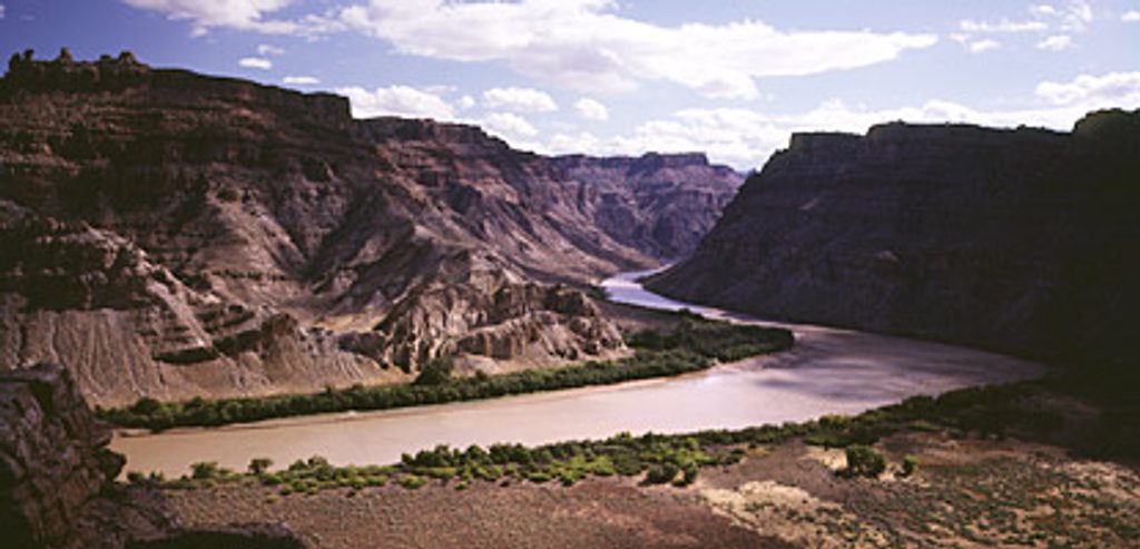
Beneath the surface lies a thick package of salt and other evaporites. Over time, material has flowed toward Cataract Canyon, stretching and cracking the overlying rocks at the surface. The result: fault-bounded valleys (grabens) that continue to widen and drop at a glacial pace.
The classic way in is the high-clearance 4WD route along Devils Lane, with sandy stretches and rock obstacles. On foot, you’ll pick up routes through sandy washes and boulder scrambles, linking passes from one valley to the next. Navigation isn’t hard in a single canyon, but the network is complex—bring solid maps or GPS and pay attention at junctions.
This is backcountry. There are no restrooms, water taps, stores, or shade structures. Travel is slow and the sand can be calf-deep in places. You’ll likely find solitude once you leave the main corridors, plus the occasional deer track in the washes.
This zone is managed as backcountry. Camping is by permit in designated backcountry areas—plan ahead, carry everything, and pack out all waste.
Place · 2.8 mi away
Place · 3.5 mi away
Place · 3.5 mi away
Place · 4.2 mi away
Challenging · 4.2 mi away
Challenging · 4.2 mi away
Challenging · 5.7 mi away
Challenging · 5.7 mi away

Parkwolf Tour Guide
