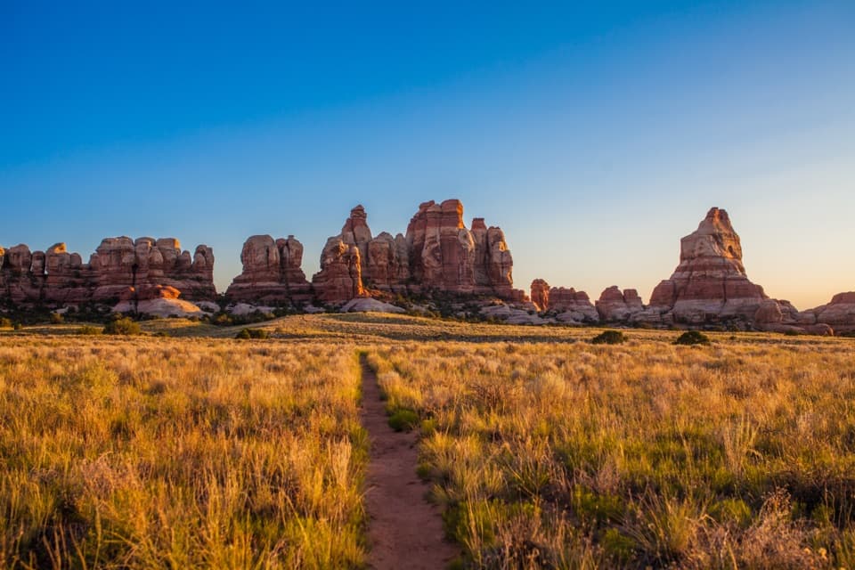
Parking
There is no road parking at the Spanish Bottom river start; reach it by raft or boat shuttle. The upper end at The Doll House is accessed by difficult high-clearance 4WD roads, so arrange transport before setting out.

Canyonlands National Park, UT
Steep river climb to the Doll House, with fossils in the rock.
Overview
Spanish Bottom Trail is a 2.1-mile out-and-back from the Colorado River landing to The Doll House and back. The route climbs about 1,200 feet over a 1.05-mile mapped line; allow about 2.4 hours. It is short on the map but a steep, remote Maze hike. Choose it if you are ready for river or rough-road logistics and a demanding climb.
 Parkwolf’s verdictIs this hike for you?
Map & elevation
Plan your hike

The highest, rockiest slopes around here are a summer buffet for grizzly bears.
Canyonlands Tour Guide
Parkwolf is a GPS audio tour guide for Canyonlands National Park. As you drive, it chimes in with what’s ahead: hidden gems, upcoming stops, history, geology, and wildlife, right through your car’s speakers.
See the Canyonlands audio tourMore stories near here in the app
“Fantastic app with many points of information… It’s great to just turn on while you’re driving and it gives you an audio tour of the national Park. We love it!!!!”


Trail guide
Spanish Bottom sits on the west bank of the Colorado River, with no road parking. The park describes jetboat access from Moab. The upper end reaches The Doll House, accessible by difficult high-clearance four-wheel-drive roads. Plan to retrace the same line unless boat or vehicle arrangements cover both ends.
From the river, the named trail climbs to The Doll House. Maze routes are steep and minimally maintained; canyon paths may have only a few cairns, and washes can be hard to distinguish. Route-finding is part of the hike, so carry a topographic map and keep your return line clear. Dogs are not allowed on park hiking trails.
Shell fossils have been photographed along this trail. Watch the pale rock as you climb; it is a distinctive detail in a landscape of sandstone and river canyon. The Doll House is the upper destination; separate routes to the nearby granaries are not part of this trail.
There is no reliable water on the route, and Colorado River water is silty and difficult to purify. Plan your water before leaving the river. Backcountry permits are required for overnight trips; check current rules before adding a camping stay.
Wildlife
 48 sightingsBighorn SheepMost seen around 7 AMSighting map
 47 sightingsMule DeerMost seen around 7 AMSighting map
 12 sightingsCoyoteMost seen around 7 PMSighting map
 30 sightingsWestern RattlesnakeMost seen around 7 PMSighting map
 18 sightingsTurkey VultureMost seen around 11 AMSighting map
 18 sightingsWild TurkeyMost seen around 7 AMSighting map
Sighting maps show where each species has been reported across Canyonlands. Wildlife moves, so no sighting is guaranteed.
Keep exploring
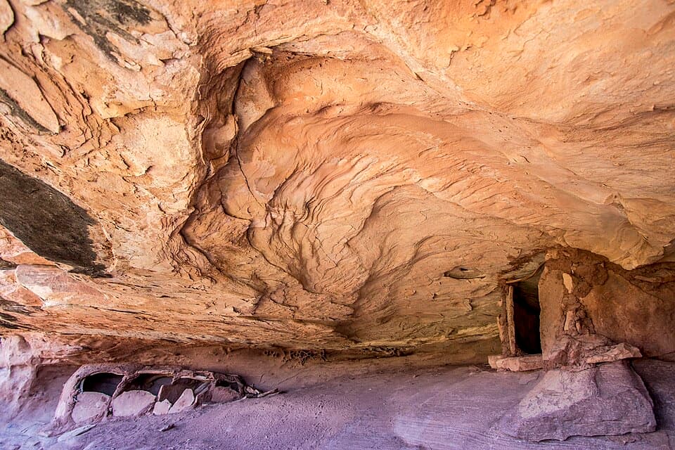 ModerateGranary Trail1.9 mi · 2 hr · 0.8 mi awayA tight sandstone squeeze, an alcove granary and Colorado River views.
 ModerateColorado and Green River Overlook Trail8.9 mi · 5 hr · 0.9 mi awayBeehive Arch and two river views reward a long Maze approach.
 ChallengingFins Trail through Ernie’s Country8.1 mi · 8 hr · 1.1 mi awayA remote cairned crossing through fins, sandy flats and narrow canyons.
 EasyCyclone Canyon Trail2.4 mi · 1.5 hr · 2.9 mi awayA sandy 2.41-mile connector through a faulted canyon.
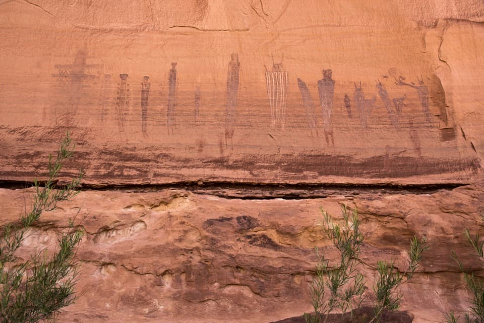 ChallengingHarvest Scene Route8.7 mi · 7 hr · 3 mi awayA rugged loop reaches the Maze’s famous Harvest Scene pictographs.
 ChallengingShot Canyon Route10.1 mi · 8 hr · 3 mi awayCairns lead from Chimney Rock into Shot Canyon's broad floor.
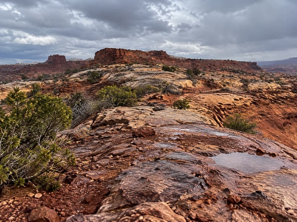 ChallengingPete's Mesa Route8.4 mi · 6 hr · 3 mi awaySlickrock miles with the Maze spread out below.
 ChallengingChimney Rock Route2.3 mi · 2.5 hr · 3 mi awayA steep old stock route drops into Pictograph Fork.
 Sight · 0.9 mi awayThe Doll HouseA sandstone spire city at the end of a six-hour 4WD route.
 Sight · 3.1 mi awayChimney RockA sandstone tower worth stopping for once you're deep in the Maze.
 Sight · 3.3 mi awayConfluence OverlookAn 11-mile hike to where the Green and Colorado meet.
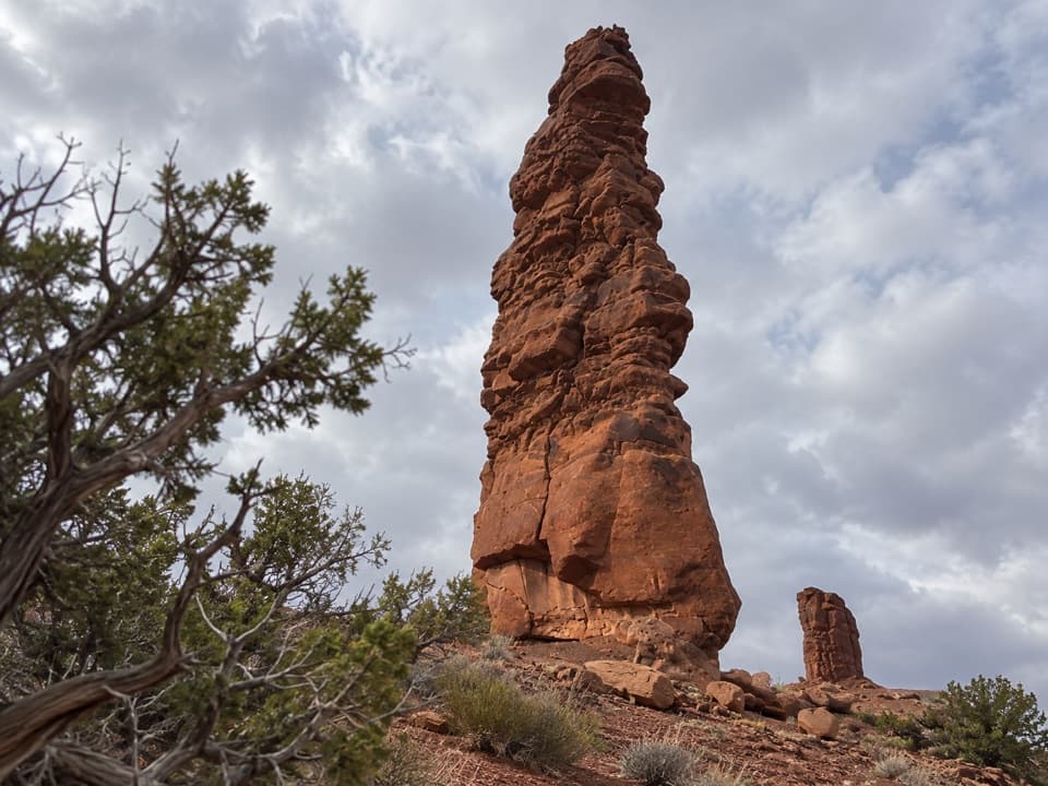 Sight · 3.5 mi awayStanding RockA roadside spire reached by a five-hour, low-range 4WD drive.
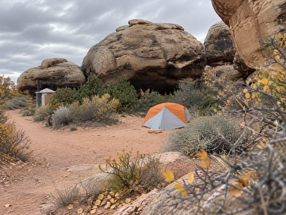 Campground · 4.1 mi awayDevils Kitchen CampgroundA four-site backcountry camp reached by the technical Elephant Hill road.
 Campground · 5.2 mi awayBobby Jo Camping AreaA two-site desert camp reached by a technical low-range 4WD road.
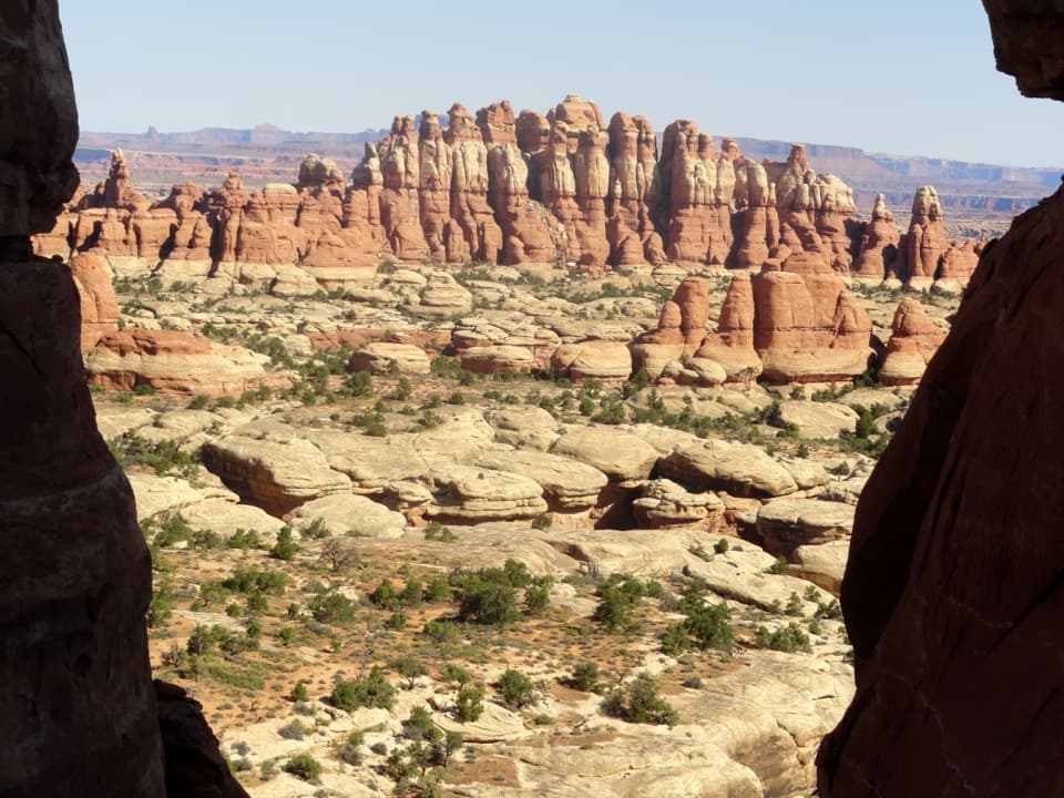 Sight · 5.2 mi awayChesler Park ViewpointA grassland basin ringed by stone needles, earned on a long hike.
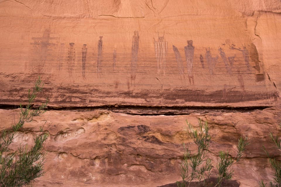 Sight · 5.4 mi awayThe Harvest SceneA striking pictograph panel on a hard Maze backcountry loop.
Parkwolf’s Canyonlands ranking
The audio tour guide for the drive, plus offline maps, trails, and wildlife heatmaps for when the signal drops.