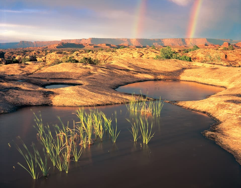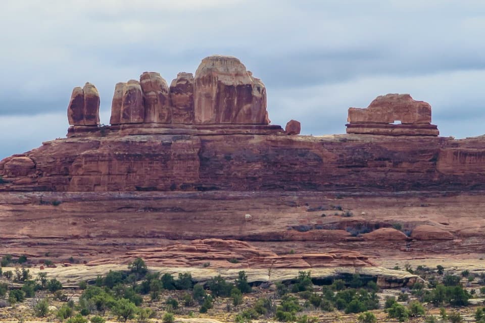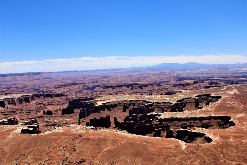
Chesler Park Viewpoint in Canyonlands National Park

#7 of 45 sights in Canyonlands

Sight · Canyonlands National Park

Chesler Park Viewpoint

A grassland basin ringed by stone needles, earned on a long hike.

Photo: Wikimedia Commons
Type
Sight
Nearest trail
1.3 mi
Audio stories
1 nearby
  • Trailhead
  • Parking
  • Restrooms
  • Picnic tables

Hear the audio tour

Elephant Hill and Druid Arch

Overview

About Chesler Park Viewpoint

Why stop

  • A close look at the Needles rising around an open desert basin.

Heads up

  • A strenuous hike with scrambling and rough footing.
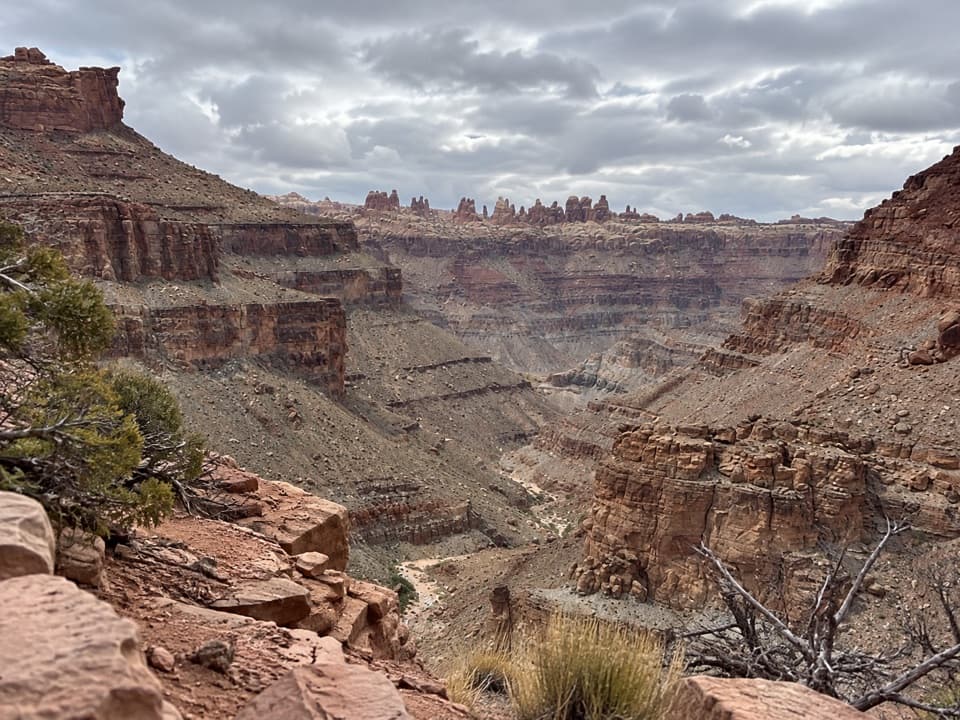
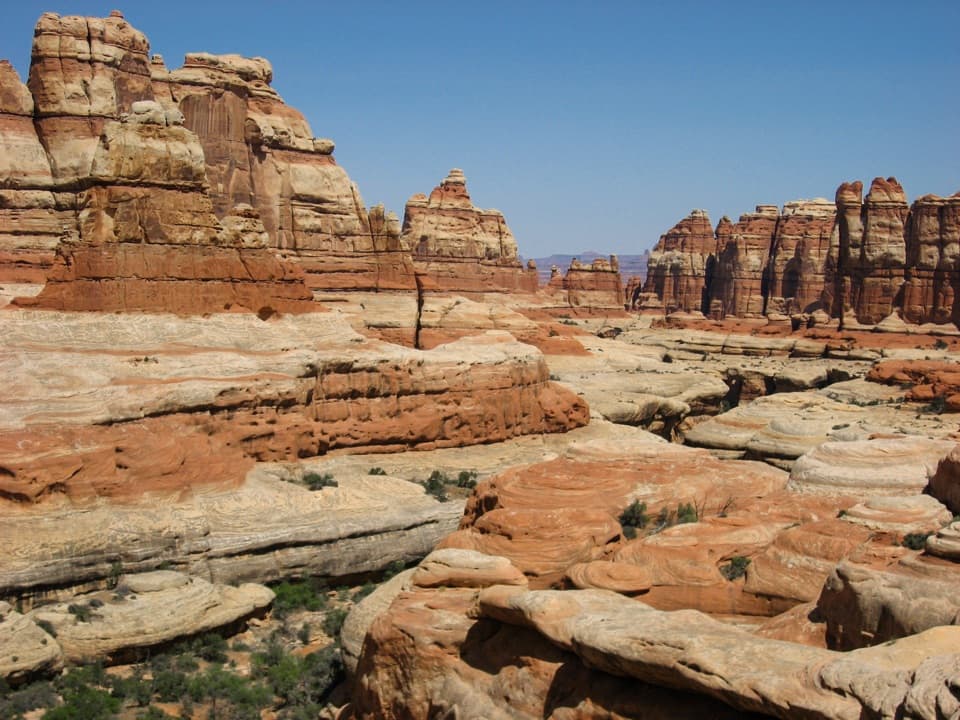
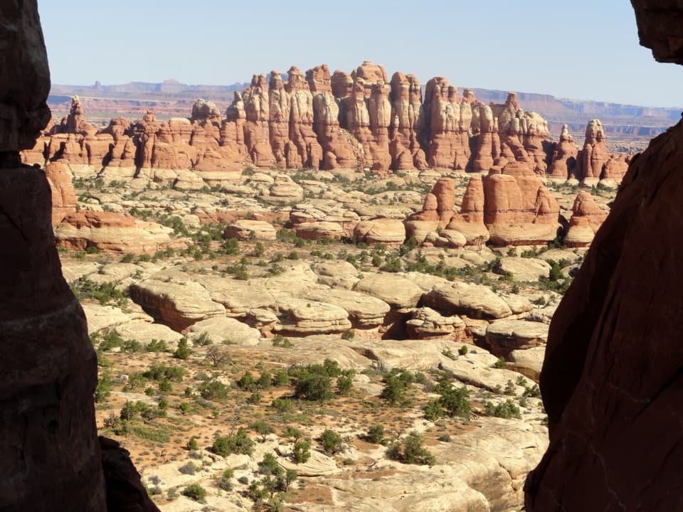
Chesler Park Viewpoint is a pass above a broad desert grassland in The Needles, framed by rust-red sandstone spires. Keep it for a real hike, not a quick pullout: the route from Elephant Hill Trailhead is 5.8 miles round trip and usually takes three to four hours. It is strenuous, but it brings you into the landscape the district is named for.
Parkwolf’s verdictWorth the hike?

Map

Where it is

Loading the Canyonlands map
Full map
SightChesler Park Viewpoint38.11948, -109.84926
Keep this map with you offline in the Parkwolf app

Plan your stop

Before you go

2 active Canyonlands alerts

  • ClosureRain-damaged Needles backcountry roads impassableRecent rains have made several Needles backcountry roads impassable; do not drive these routes.Official details
  • CautionMaze access roads require high-clearance 4WDOnly use high-clearance 4WD to reach Hans Flat or Horseshoe Canyon in The Maze; low-clearance vehicles are not recommended on these damaged, rutted, muddy routes.Official details

Canyonlands alerts
A park ranger sits on a dash-mounted phone, talking, as Parkwolf’s Tour Guide plays “Army Cutworm Moths: A Grizzly Bear Buffet” on Grand Loop Road below Dunraven Pass in Yellowstone
Parkwolf Tour GuideThe highest, rockiest slopes around here are a summer buffet for grizzly bears.

Canyonlands Tour Guide

Your drive to Chesler Park Viewpoint, narrated.

Parkwolf is a GPS audio tour guide for Canyonlands National Park. As you drive, it chimes in with what’s ahead: hidden gems, upcoming stops, history, geology, and wildlife, right through your car’s speakers.

See the Canyonlands audio tour

Recorded for this place

Elephant Hill and Druid Arch
0:00 / 0:25
“You're nearing Elephant Hill Trailhead, where the hike to Druid Arch begins.”

Plays as you drive up to Chesler Park Viewpoint in the Parkwolf Canyonlands Tour Guide.

More stories near here in the app

  • The Needles Campground
  • The Moth That Packs the Pollen
  • How a Cliff Grows a Garden
  • The Jay's Hidden Pantry
  • 43 audio storiesacross Canyonlands’s roads, triggered by GPS as you drive
  • Wildlife heatmapsfor Bighorn Sheep, Mule Deer, Coyote, and 13 more
  • Works offlinemaps, 63 trails, 65 places, and audio download before you lose signal
  • CarPlay readysimple controls built for the drive
★★★★★
“Fantastic app with many points of information… It’s great to just turn on while you’re driving and it gives you an audio tour of the national Park. We love it!!!!”
JMJamesApp Store review
Download Parkwolf on the App StoreGet Parkwolf on Google Play

4.7 from 8,600+ ratings

Guide

More about Chesler Park Viewpoint

Across slickrock and sandThe trail crosses slickrock benches and sandy washes before climbing over a rough, rocky pass.

The trail crosses slickrock benches and sandy washes before climbing over a rough, rocky pass. Expect uneven footing and some scrambling. The listed 533 feet is the route's overall elevation change; the cumulative climbing is much greater, so don't treat that number as the whole effort. The full Chesler Park Loop and Joint Trail continues beyond the viewpoint for a 10.7-mile, five-to-seven-hour outing, including a narrow passage through deep rock fractures.

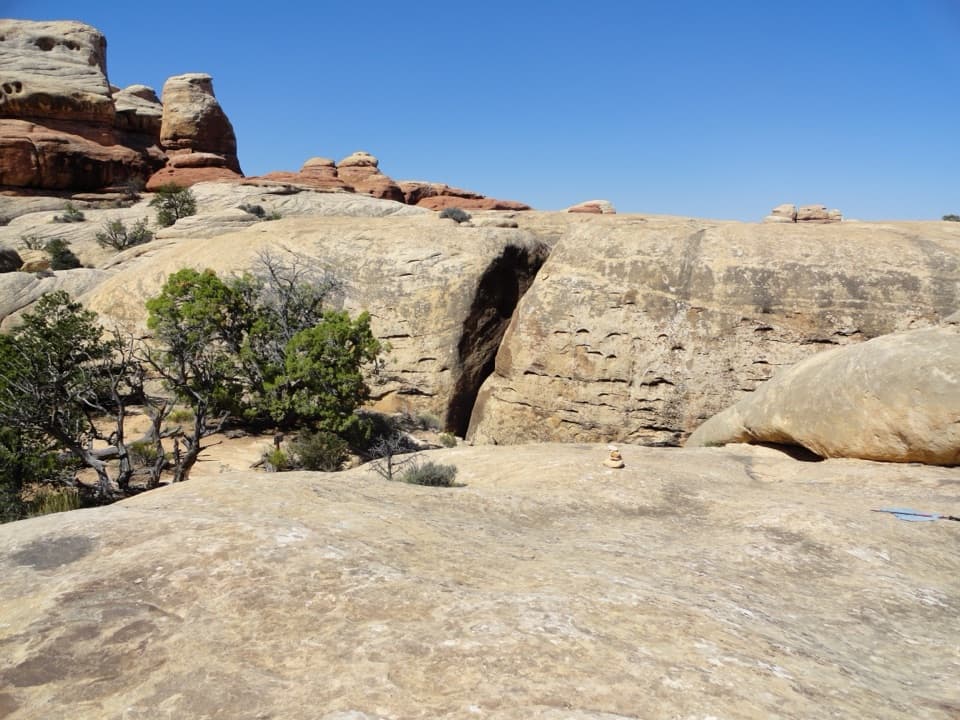
The basin from the passAt the top, a slickrock platform looks out over desert grasses and shrubs surrounded by…

At the top, a slickrock platform looks out over desert grasses and shrubs surrounded by sandstone towers. Give the view a few minutes: the spires are not one wall but a broken ring around the open basin. For a photo, use the dark rock gap as a frame and leave some pale slickrock in the foreground; it helps the cluster of towers read clearly.

Why they're called The NeedlesThe tall, thin formations are Cedar Mesa Sandstone, the colorful spires that gave this district…

The tall, thin formations are Cedar Mesa Sandstone, the colorful spires that gave this district its name. Water erosion carved them over time, leaving the narrow towers and the broad stretches of slickrock you cross on the way in.

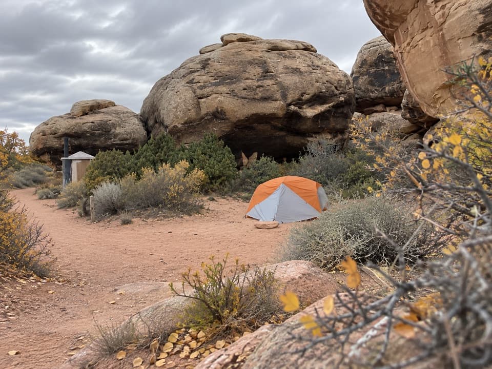
Start at Elephant HillThe trail begins at Elephant Hill Trailhead, reached by an unpaved park road.

The trail begins at Elephant Hill Trailhead, reached by an unpaved park road. The separate technical 4WD road starts in the same area; this viewpoint route is a hike from the trailhead. There is parking, a vault toilet, and picnic tables at the start, but no dependable water along the trail. Carry all you need; the park recommends one liter per person per hour. Dogs are not allowed on the trail, and the route is not wheelchair-accessible. Winter can bring snow or ice to the rocky sections.

Wildlife

Wildlife in Canyonlands

All Canyonlands wildlife maps

Sighting maps show where each species has been reported across Canyonlands. Wildlife moves, so no sighting is guaranteed.

Keep exploring

Near Chesler Park Viewpoint

See it all on the map

Trails nearby

More stops nearby

Parkwolf’s Canyonlands ranking

Top sights in Canyonlands

All 65 places
  1. 1Mesa ArchSight
  2. 2Grand View PointSight
  3. 3Green River OverlookSight
  4. 4Great GallerySight
  5. 5Upheaval DomeSight
  6. 6Druid ArchSight

Take Parkwolf to Canyonlands.

The audio tour guide for the drive, plus offline maps, trails, and wildlife heatmaps for when the signal drops.

4.7 from 8,600+ ratings

Download Parkwolf on the App StoreGet Parkwolf on Google Play