
All Canyonlands places
65 places
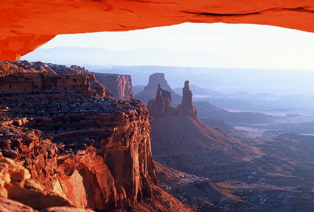
 1Mesa ArchFamous for sunrise glow; the canyon view is worth a later stop.
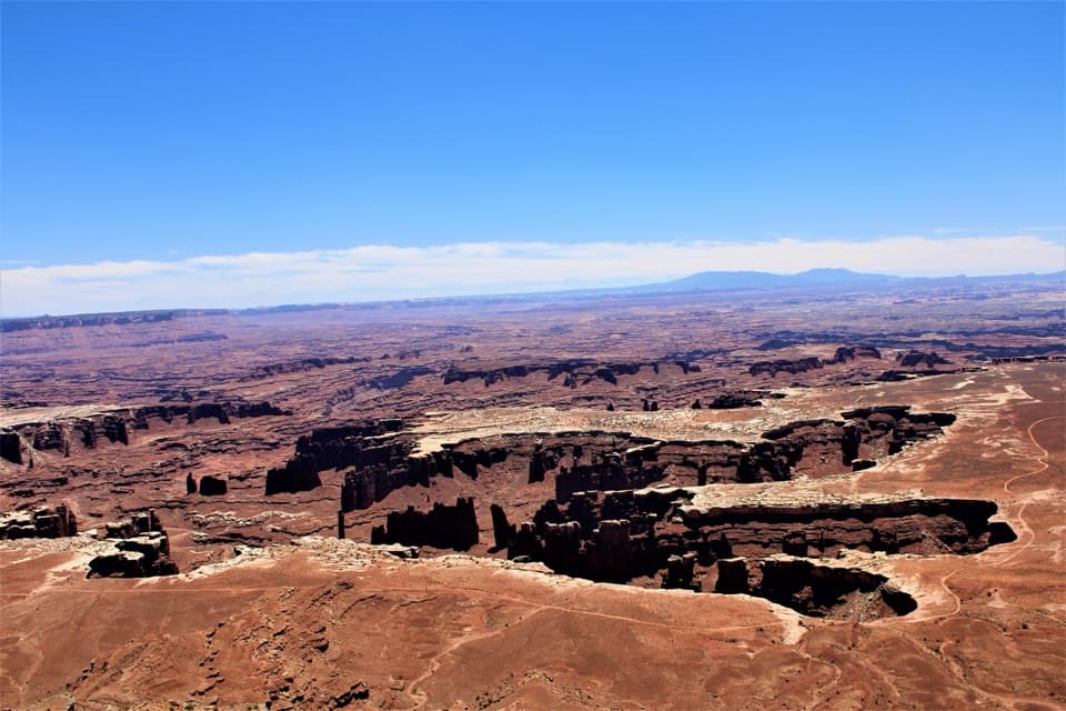 2Grand View PointA short paved walk opens onto Monument Basin and the White Rim.
 3Green River OverlookSee the Green River as a thin line 1,300 feet below.
 4Great GalleryLife-size figures reward the steep, seven-mile hike into a remote canyon.
 Island in the Sky Visitor CenterGet maps, permits and ranger advice before the mesa drive.
 The Needles Visitor CenterGet ranger advice before choosing a Needles hike or 4WD road.
 5Upheaval DomeA three-mile-wide geologic mystery, seen from two steep overlooks.
 6Druid ArchA 10.8-mile hike ends beneath a striking two-opening sandstone arch.
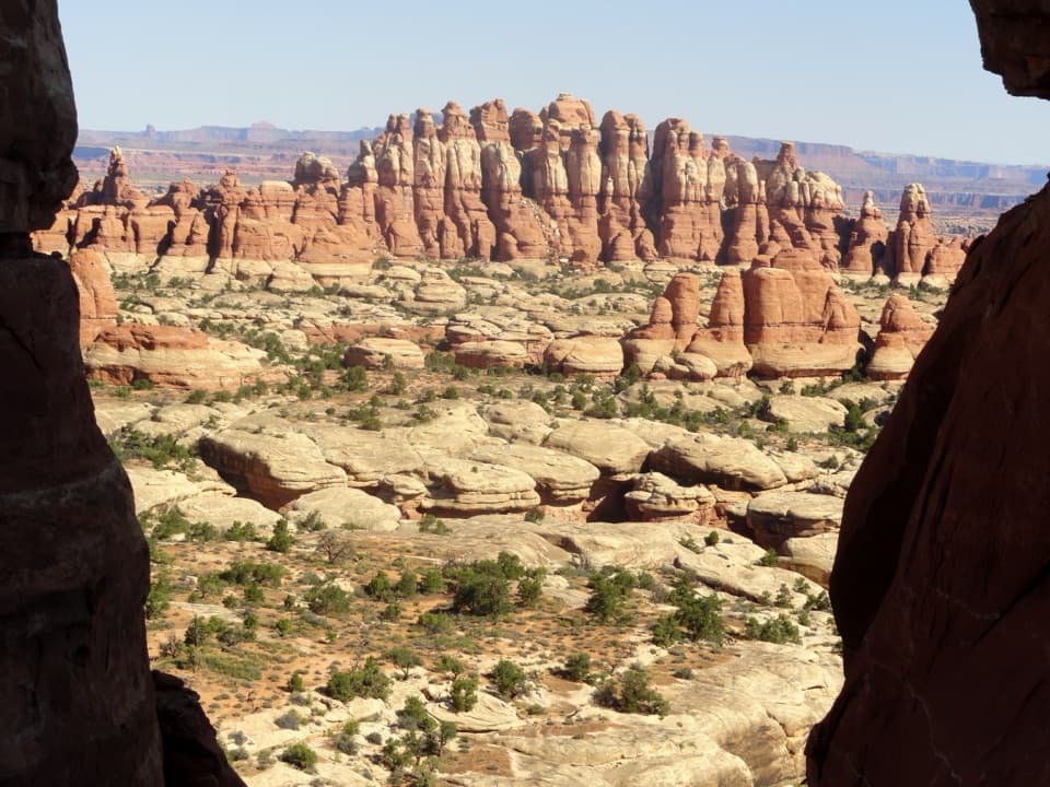 7Chesler Park ViewpointA grassland basin ringed by stone needles, earned on a long hike.
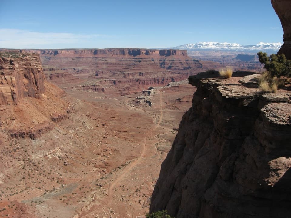 8Shafer Canyon OverlookWatch the road drop 1,400 feet into a canyon.
 9White Rim OverlookA short walk to White Rim country above Monument Basin.
 10Confluence OverlookAn 11-mile hike to where the Green and Colorado meet.
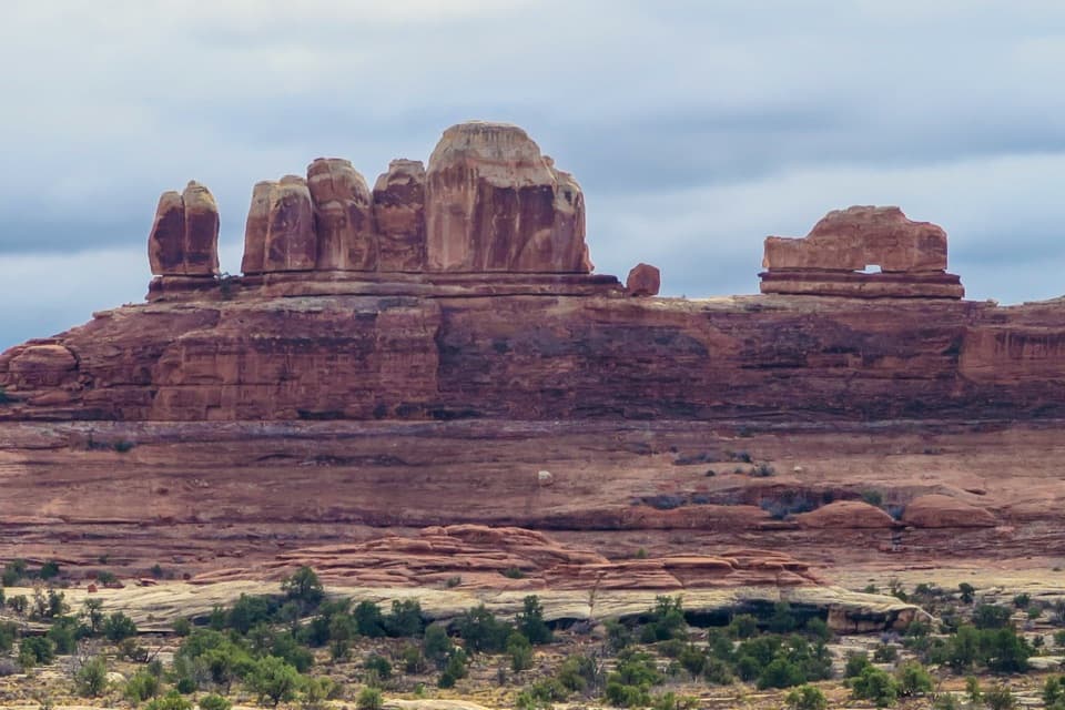 11Wooden Shoe Arch OverlookA quick stop for one unmistakable shoe-shaped arch.
 12Big Spring Canyon OverlookSpires and sandstone benches line a bend in Big Spring Canyon.
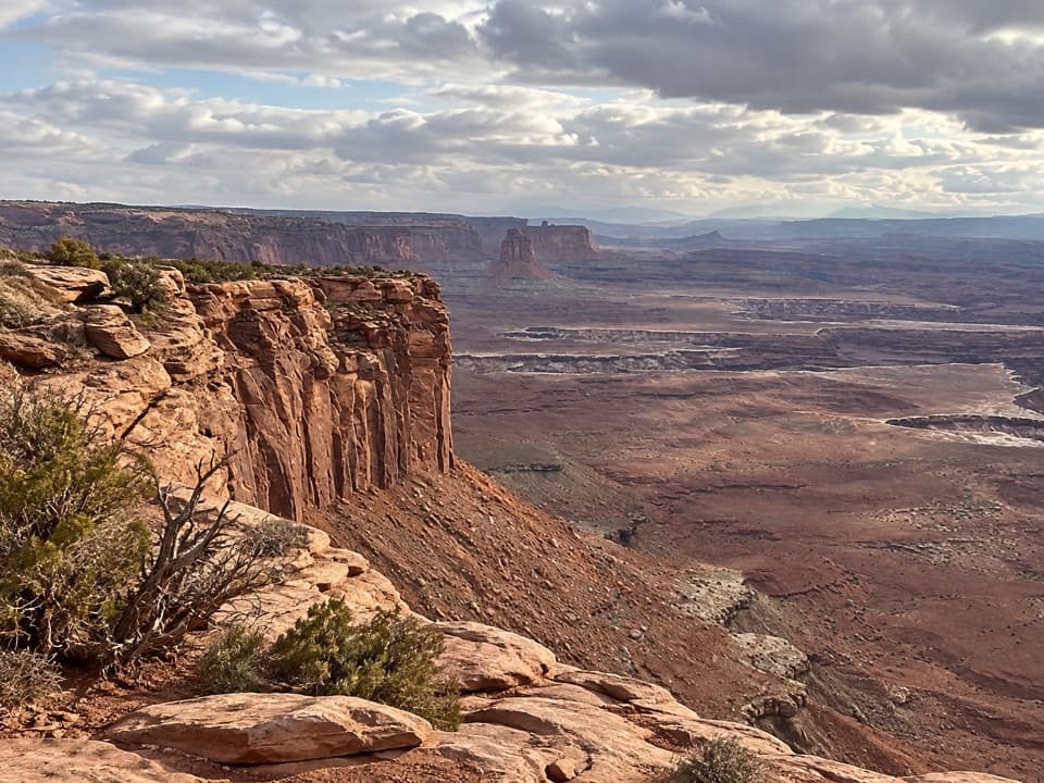 13Buck Canyon OverlookA quick eastward look across the White Rim.
 14Stone StorehouseA quick loop to an ancient granary beneath a sandstone alcove.
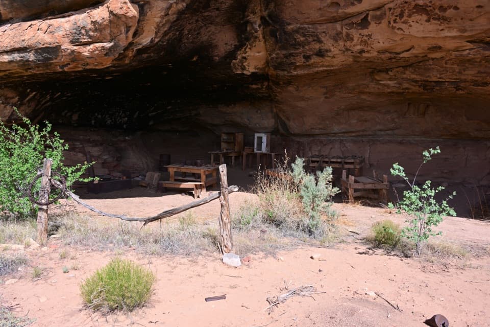 15Cave Spring and Cowboy CampSpring, cowboy camp and rock art all fit in a 45-minute loop.
 16Shafer Trail ViewpointWatch the Shafer Trail drop through 1,500 feet of sandstone.
 The Needles CampgroundCamp among sandstone spires, with Needles hikes close at hand.
 Willow Flat CampgroundA quiet, no-frills base near Green River Overlook and dark skies.
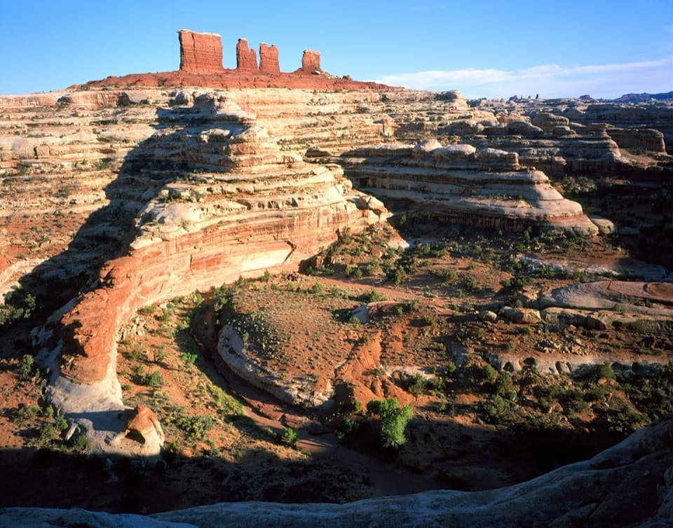 17Maze OverlookA canyon panorama reached only after hours of rough 4WD travel.
 18The Doll HouseA sandstone spire city at the end of a six-hour 4WD route.Hans Flat Ranger StationStop here for ranger advice before tackling the Maze.
 19Murphy PointA long mesa walk pays off with a wide Green River panorama.
 20Aztec Butte GranariesTwo 900-year-old granaries tucked beneath a protective rock overhang.
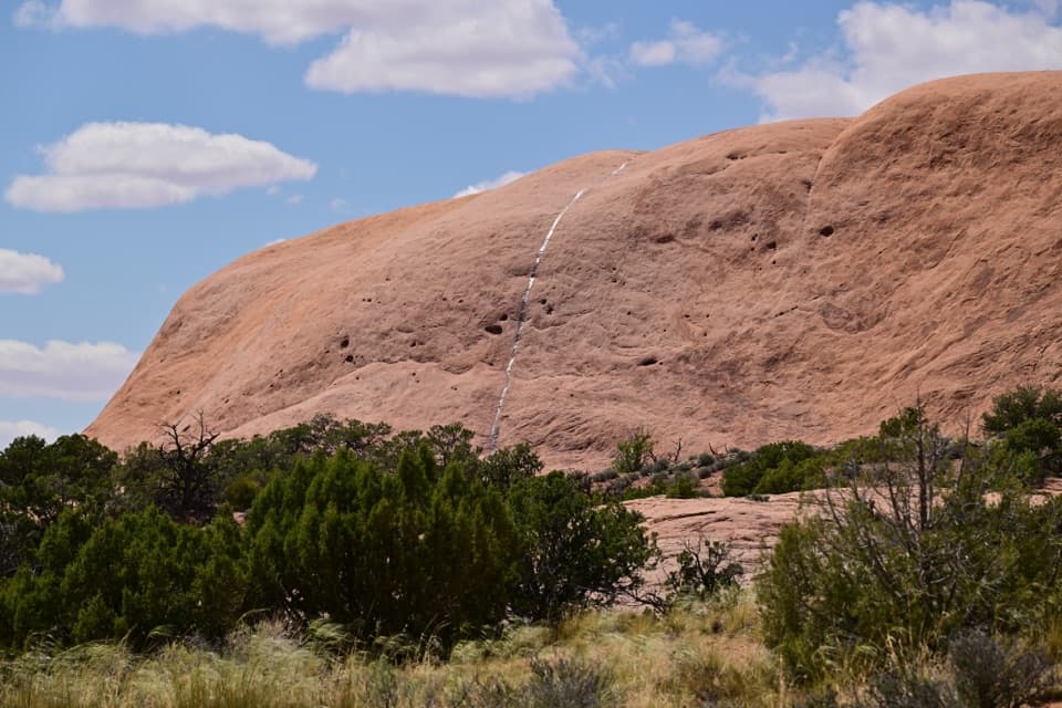 21Whale RockWhale-shaped slickrock, a short scramble, and a wide-open top.
 22Orange Cliffs OverlookA quick pullout for Green River canyon views and sunset color.
 23Musselman ArchA low sandstone bridge in the middle of the White Rim backcountry.
 24Newspaper RockHundreds of petroglyphs crowd a panel beside the Needles drive.
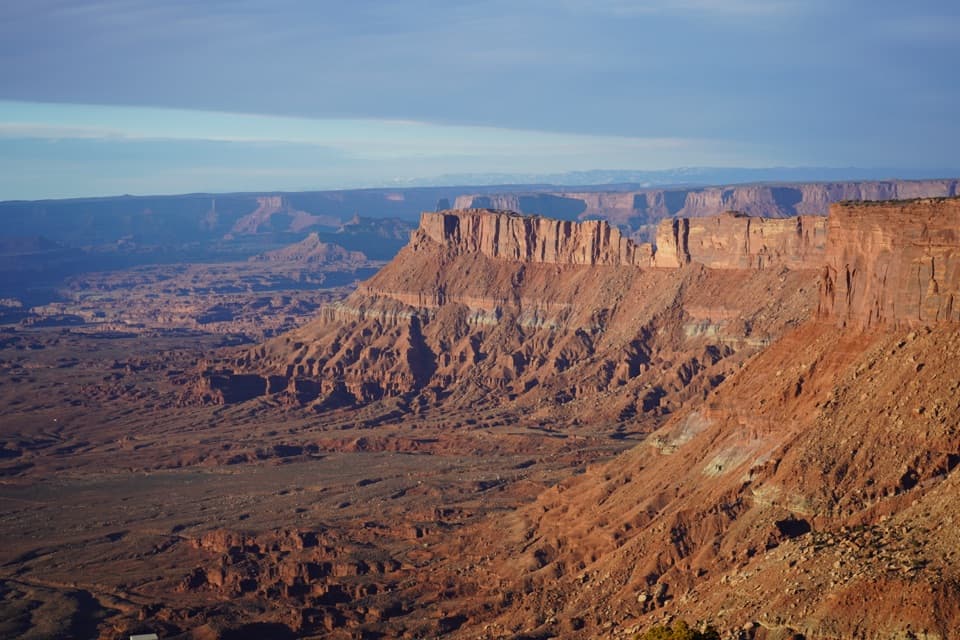 25Needles OverlookA broad canyon view reached by a long paved detour.
 Needles OutpostA handy, rustic base just outside the Needles District.
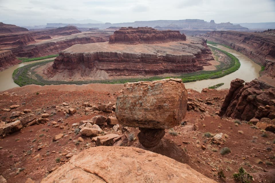 26Gooseneck OverlookA Colorado River bend at the end of a serious backcountry detour.
 27Candlestick Tower OverlookA quick roadside look at Candlestick Tower and the canyon below.
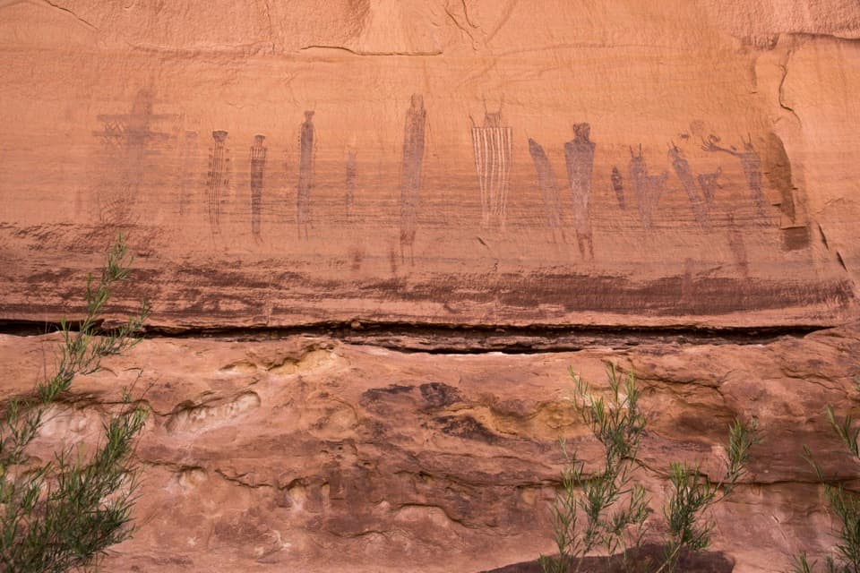 28The Harvest SceneA striking pictograph panel on a hard Maze backcountry loop.
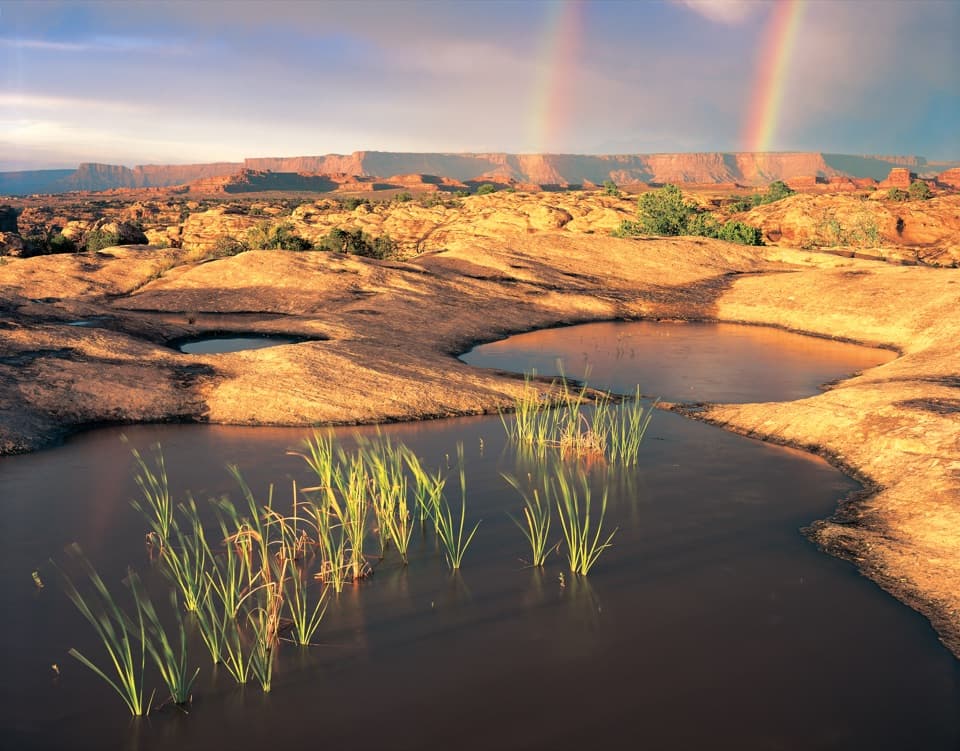 29Pothole PointRain-fed pools bring a small world to life on bare sandstone.
 30Angel ArchA landmark arch reached on a serious Salt Creek backcountry trip.
 31Fort Bottom RuinA stone tower above a sweeping bend of the Green River.
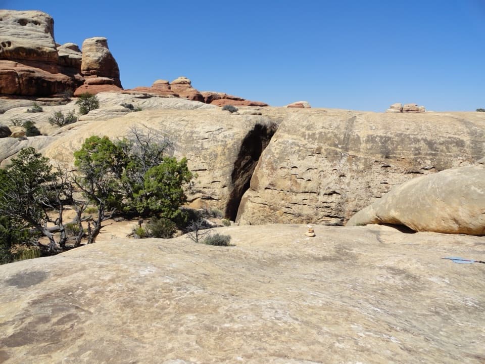 32The JointA shaded quarter-mile passage through deep Cedar Mesa sandstone fractures.
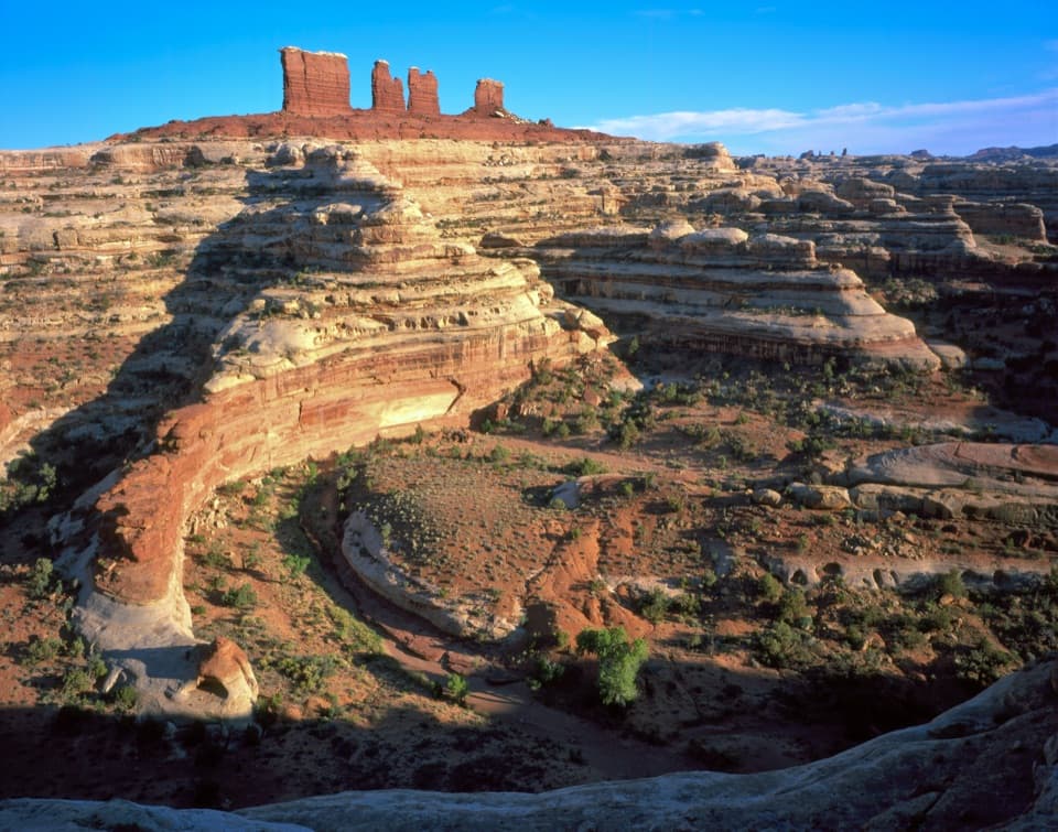 33Chocolate DropsFour nearly 200-foot shale towers, deep in the Maze.
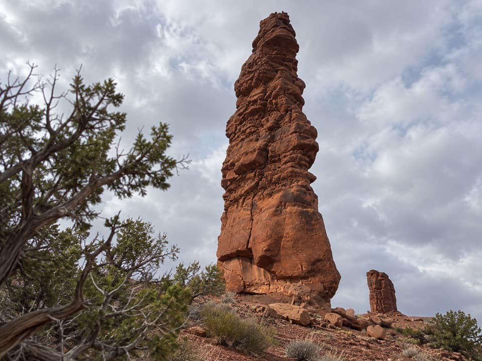 34Standing RockA roadside spire reached by a five-hour, low-range 4WD drive.
 35Chimney RockA sandstone tower worth stopping for once you're deep in the Maze.
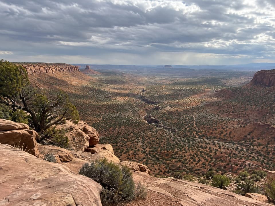 36Flint Trail OverlookA short slickrock walk opens onto the Maze’s switchbacks.
 37Panorama PointA two-hour 4WD crawl from Hans Flat ends above Horse Canyon.
 38Millard Canyon OverlookA quick rim walk rewards a serious trip into the Maze.
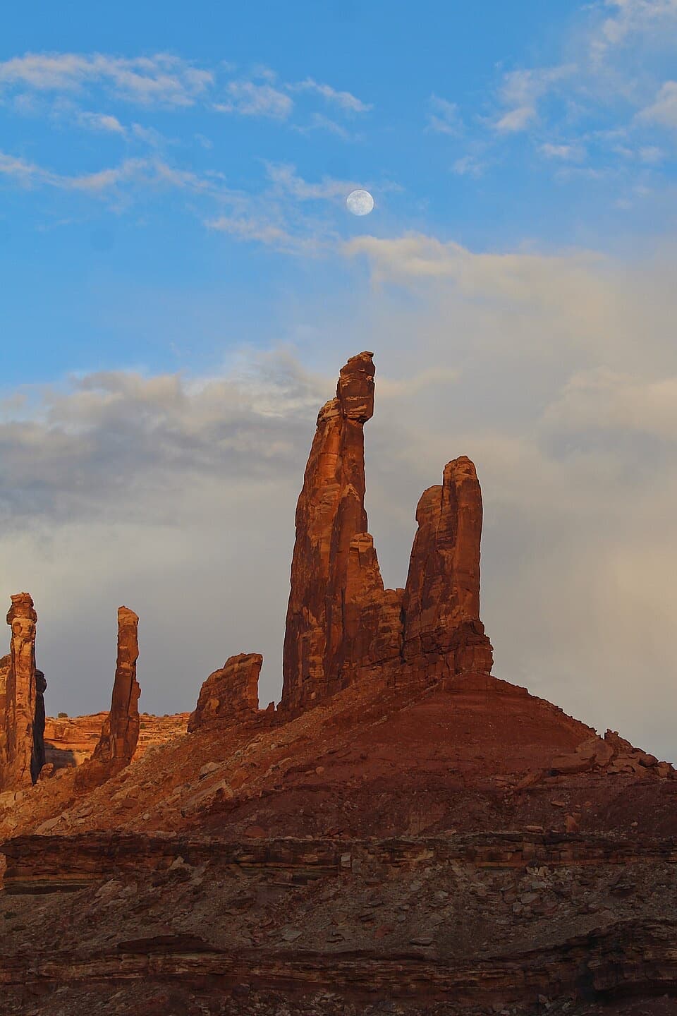 39Moses and Zeus TowersTwo desert towers make a memorable detour for backcountry explorers.
 40Bagpipe Butte OverlookA quick sandy walk pays off on the long, rough Maze road.
 41All American ManA vivid pictograph on a remote Salt Creek backcountry route.
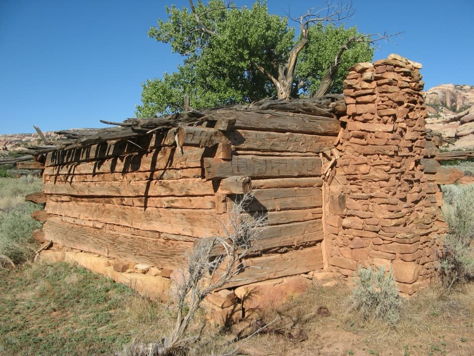 42Kirk’s CabinA hand-hewn ranch cabin tucked into remote Salt Creek.
 43High GalleryLook high above the wash for an early rock-art panel.
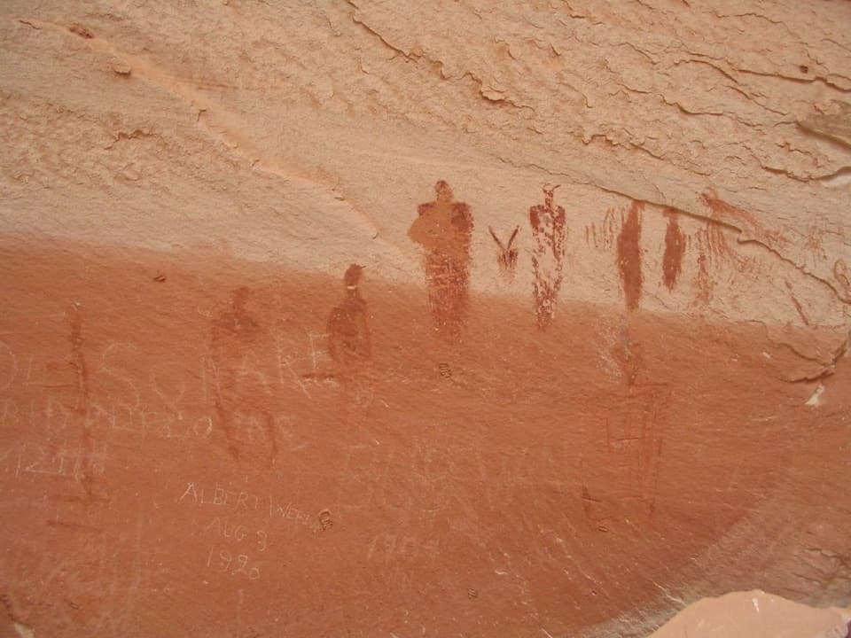 44Alcove GalleryAn intimate rock-art stop before Horseshoe Canyon’s Great Gallery.
 45Horseshoe Shelter GalleryA quieter pictograph stop on a long, steep canyon hike.
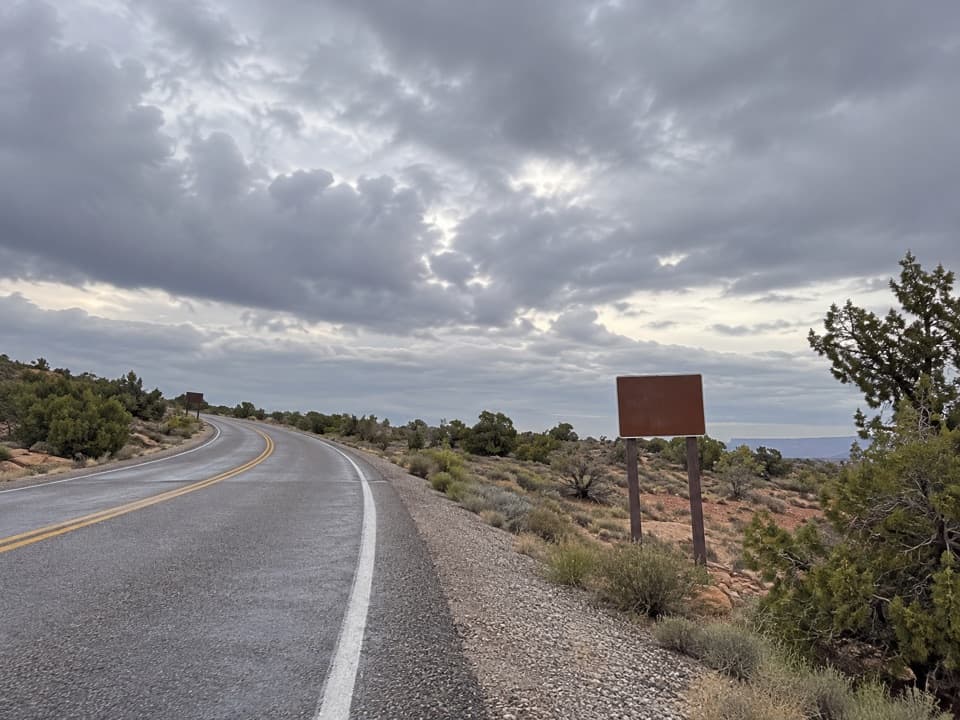 White Rim Overlook Picnic AreaPicnic tables and a vault toilet beside the overlook trailhead.
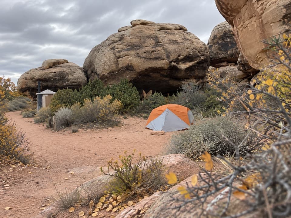 Devils Kitchen CampgroundA four-site backcountry camp reached by the technical Elephant Hill road.
 Needles Scenic Drive Picnic AreaA shaded stop where rain brings tiny desert creatures to life.
 Peekaboo CampA remote two-site camp near rock art, for experienced 4WD drivers.
 Bobby Jo Camping AreaA two-site desert camp reached by a technical low-range 4WD road.
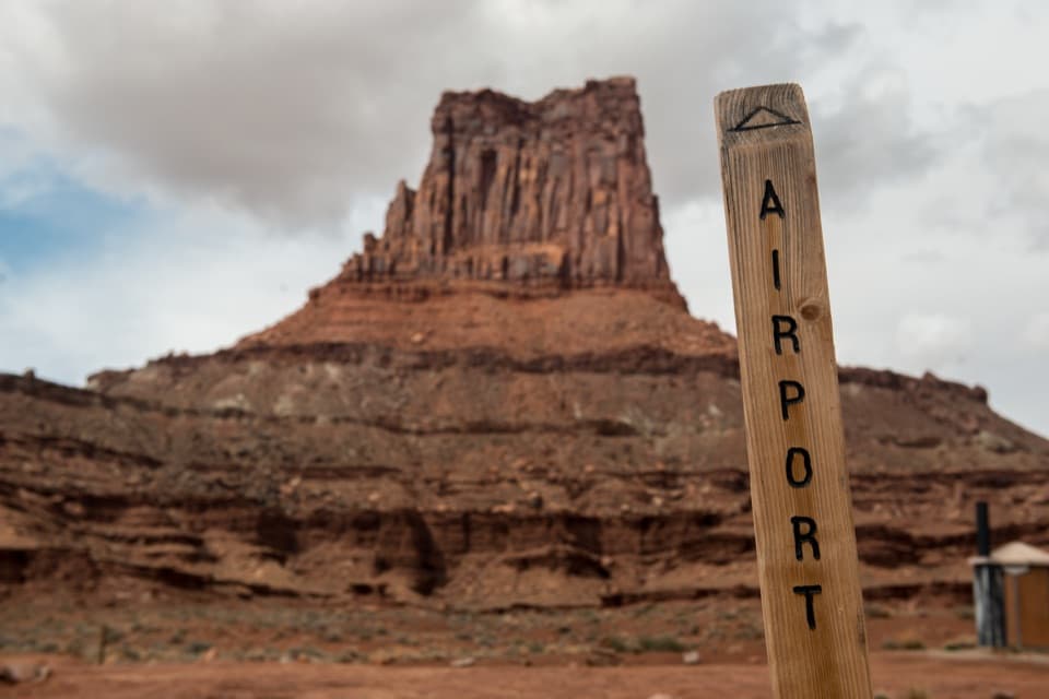 Airport Camping AreaFour backcountry sites for a slow White Rim 4WD trip.
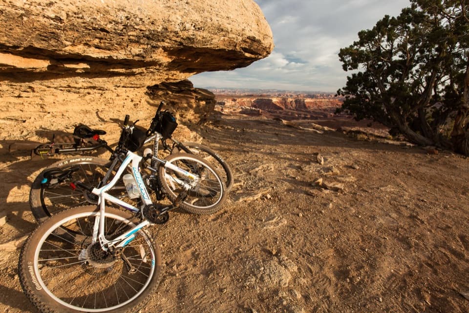 Murphy Hogback Camping AreaA remote night below the Island in the Sky mesa.
 Gooseberry Camping AreaTwo remote sites make a night on the White Rim possible.
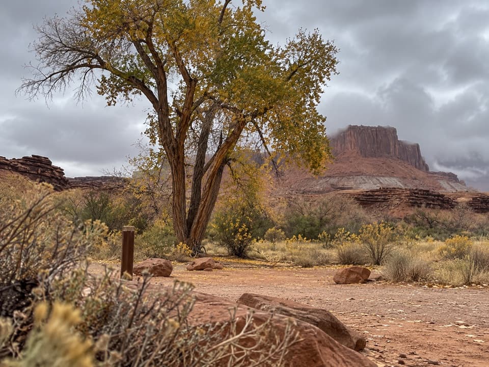 Potato Bottom Camping AreaA remote overnight for a long, demanding White Rim trip.
 Hardscrabble Camping AreaTwo river campsites, deep on the demanding White Rim loop.
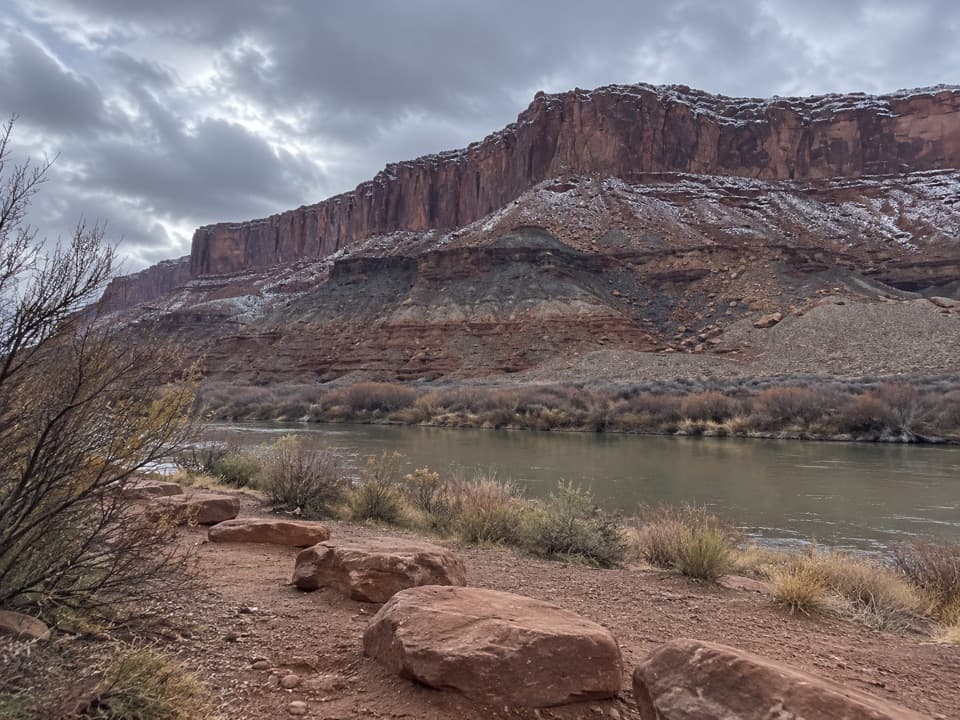 Labyrinth Camping AreaTwo remote campsites on a rugged, permit-only White Rim trip.
 Island in the Sky Entrance StationPay for park entry before the Island in the Sky overlooks.
 The Needles Entrance StationBuy your park pass here before continuing into The Needles.
 Horseshoe Canyon West Rim Camping AreaA primitive base for the long Great Gallery hike from the rim.

The highest, rockiest slopes around here are a summer buffet for grizzly bears.
Canyonlands Tour Guide
Canyonlands, narrated.
Parkwolf is a GPS audio tour guide for Canyonlands National Park. As you drive, it chimes in with what’s ahead: hidden gems, upcoming stops, history, geology, and wildlife, right through your car’s speakers.
See the Canyonlands audio tourRecorded for this place
Mesa Arch0:00 / 0:30
“You're coming up on Mesa Arch, where a low sandstone opening frames the canyon and the distant La Sal Mountains. Keep this stop even if you missed sunrise.”
Plays as you drive up to Mesa Arch in the Parkwolf Canyonlands Tour Guide.
More stories near here in the app
- The Sheep That Rebuilt Other Herds
- Candlestick Tower Overlook
- Aztec Butte Granaries
- Willow Flat Campground
- 43 audio storiesacross Canyonlands’s roads, triggered by GPS as you drive
- Wildlife heatmapsfor Bighorn Sheep, Mule Deer, Coyote, and 13 more
- Works offlinemaps, 63 trails, 65 places, and audio download before you lose signal
- CarPlay readysimple controls built for the drive
“Fantastic app with many points of information… It’s great to just turn on while you’re driving and it gives you an audio tour of the national Park. We love it!!!!”

