
Place · 0 mi away
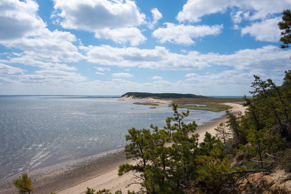
If you want Cape Cod at its wildest, start here. Great Island is officially the park’s most difficult hike, not because of elevation but because you’re walking in soft sand for long stretches. Plan 3–5 hours depending on your route, bring plenty of water, and expect a mix of piney uplands, salt marsh edges, bayside beach, and wide-open views.
Portions of the route—especially near the harbor side—can be submerged at high tide. Time your hike around low tide. A good rule of thumb is to start 1.5–2 hours before low tide so you can reach your turnaround and return before water rises.
Expect a constantly changing coastal backdrop: pitch-pine hills, sandy spits, and salt marsh embayments. Birdlife is excellent—watch for herons and egrets working the marshes—and you might spot seals hauled out on distant sandbars.
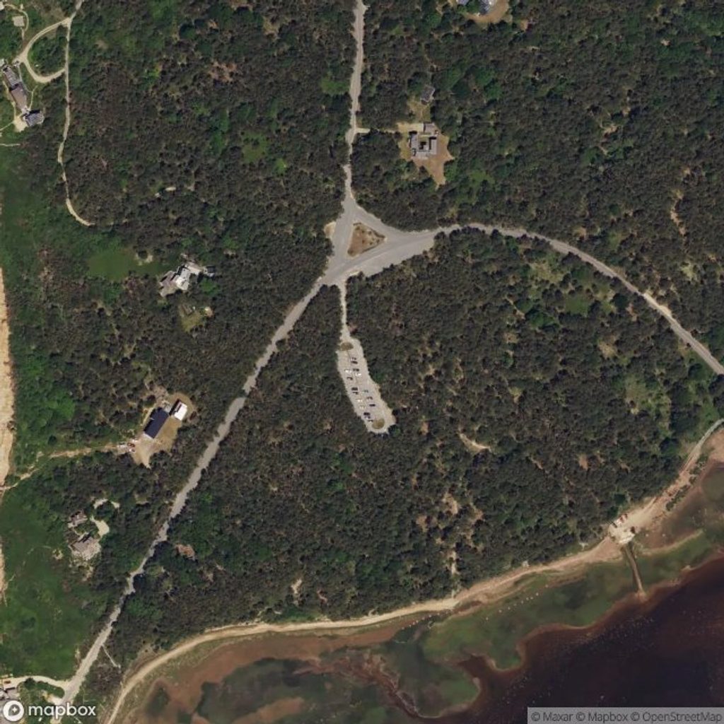
The trailhead at the corner of Griffin Island Road and Chequessett Neck Road has a picnic area and portable toilets. There’s no drinking water, so carry all you need. Leashed pets are permitted only in designated sections (posted on-site), including between the upper and lower parking areas to the first cut and out onto the beach.
The challenge here is the surface: mostly soft sand with some log steps. Many hikers call it moderate-to-hard for that reason alone. Wind, sun, and tide can amplify the effort—dress for exposure and bring snacks.
Indigenous Wampanoag people lived in this area for thousands of years. In colonial times it became a hub for fishing and whaling; the route passes the approximate site of Smith’s Tavern (c. 1690–1740), though nothing remains today.
Place · 0 mi away
Place · 0.8 mi away

Place · 1.5 mi away
Place · 3.1 mi away
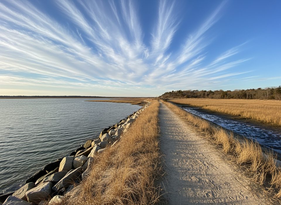
Easy · 4.7 mi away
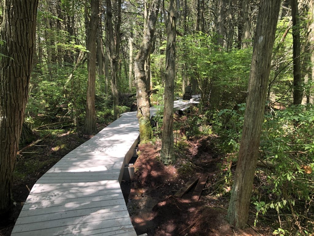
Easy · 5 mi away
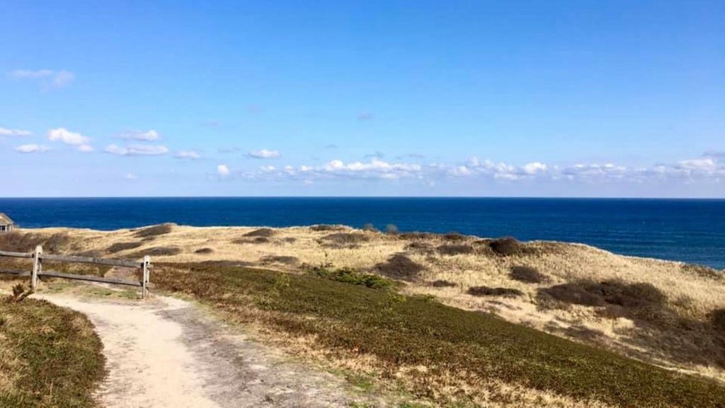
Moderate · 5.2 mi away

Easy · 5.2 mi away

Parkwolf Tour Guide
