
Place · 0 mi away
A quiet waypoint on Great Island, this late‑17th to early‑18th century tavern site is all about story, not spectacle. Active roughly 1690–1740 and listed on the National Register of Historic Places (1977), it was excavated in 1969–1970, yielding thousands of artifacts—clay pipes, drinking vessels and glassware, a harpoon, even a whale‑vertebra chopping block—that paint a vivid picture of a working waterfront community.
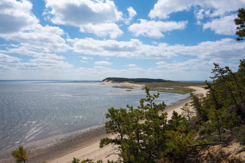
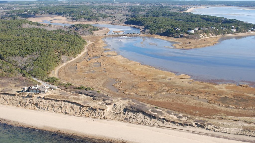
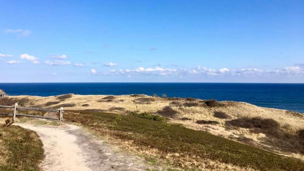
Don’t expect a preserved building. You’ll find a simple sign and the ground footprint along the Great Island Trail. The setting—backdune and shore—does the heavy lifting: bay breezes, wide horizons, and that sense of walking through layers of Cape history. For deeper context, the park’s Salt Pond Visitor Center has exhibits interpreting ancient and historic inhabitants of the area.
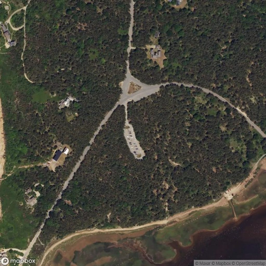
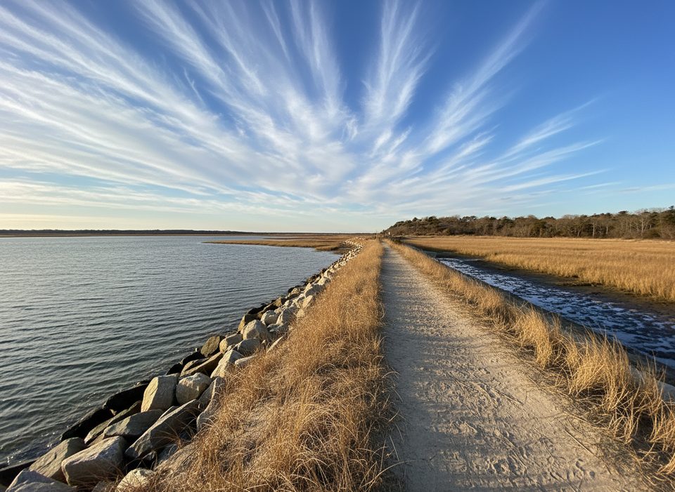
Reach it via the Great Island Trail in Wellfleet. Figure roughly 4 miles round‑trip if you’re targeting just the tavern site. The route is sandy and can be wet; parts of the approach flood at high tide. Facilities are at the trailhead (status can fluctuate with maintenance—check current park conditions). There are no services at the site itself.
The artifact mix strongly supports its use as a tavern and hints at the outer Cape’s early economy—fishing, trading, farming, and shore whaling. It’s a small stop with outsized historical resonance, especially if you like your hikes with a side of archaeology.
Expect seasonal bird‑nesting closures along parts of the shore, and keep an eye out for marine life offshore. Give wildlife space and follow posted guidance.
Time your walk for a falling or low tide to keep feet dry and options open. To dodge crowds and midday glare, aim for weekday mornings or late afternoons; midday tends to be busier, especially on weekends.
This is an archaeological site: look, photograph, and leave everything where you find it—no collecting or disturbing artifacts.
Place · 0 mi away
Place · 0.8 mi away
Place · 1.6 mi away
Place · 3.1 mi away
Challenging · 0 mi away
Easy · 4.7 mi away
Easy · 5 mi away
Moderate · 5.2 mi away

Parkwolf Tour Guide
