Parking
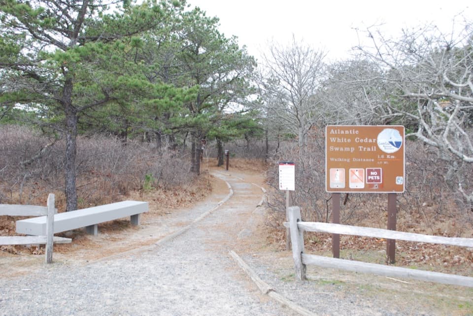
Use Marconi Site Parking Area, 195 Marconi Station Road, Wellfleet. From Route 6, follow the brown signs for the Marconi Site and White Cedar Swamp. The trail entrance is beside the seasonal restrooms.
#3 of 32 trails in Cape Cod
Cape Cod National Seashore, MA
Boardwalk through cedar swamp; half a mile of soft sand after.
Overview
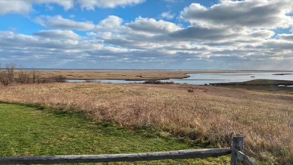
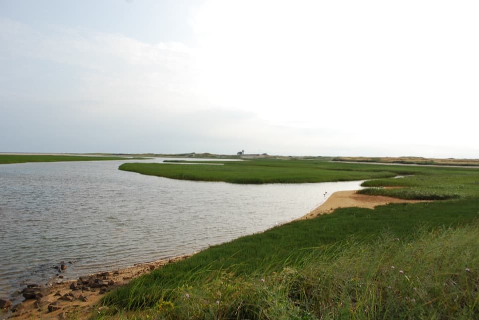
This is a 1.2-mile loop from the Marconi Site in Wellfleet: it drops through stunted oak and pine, crosses a boardwalk through an Atlantic white cedar swamp, then returns on historic Wireless Road. Give it about an hour. The park rates it moderate: the distance is short, but slopes, steep stairs and a soft-sand finish make it more than a flat boardwalk stroll. Use 1.2 miles to plan; the mapped loop traces about 1.1, and longer walks can add an ocean extension. The route here returns to the Marconi lot; the ocean walk is a different outing.
 Parkwolf’s verdictIs this the short walk for you?
Map & elevation
Plan your hike

The highest, rockiest slopes around here are a summer buffet for grizzly bears.
Cape Cod Tour Guide
Parkwolf is a GPS audio tour guide for Cape Cod National Seashore. As you drive, it chimes in with what’s ahead: hidden gems, upcoming stops, history, geology, and wildlife, right through your car’s speakers.
See the Cape Cod audio tourRecorded for this trailhead
Marconi Station Site and White Cedar Swamp“You're nearing Marconi Station Site, a short ocean-view stop with a story behind it.”
Plays as you drive up to this trailhead in the Parkwolf Cape Cod Tour Guide.
More stories near here in the app
“Fantastic app with many points of information… It’s great to just turn on while you’re driving and it gives you an audio tour of the national Park. We love it!!!!”


Trail guide
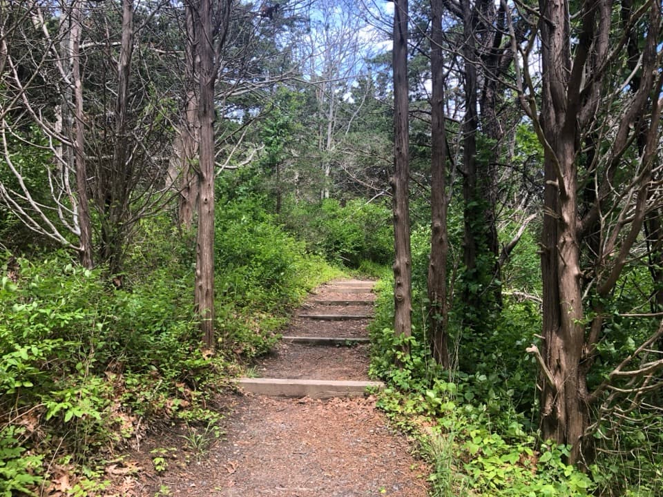
The first section descends through stunted oak and pine, then the canopy closes into mature woodland. Expect stairs and short slopes, followed by a mix of sandy tread and pine needles before the boardwalk. The contrast happens quickly: dry, brighter upland gives way to cool shade and wet ground. Take the descent at an easy pace and save some energy for the loose sand on the way back.
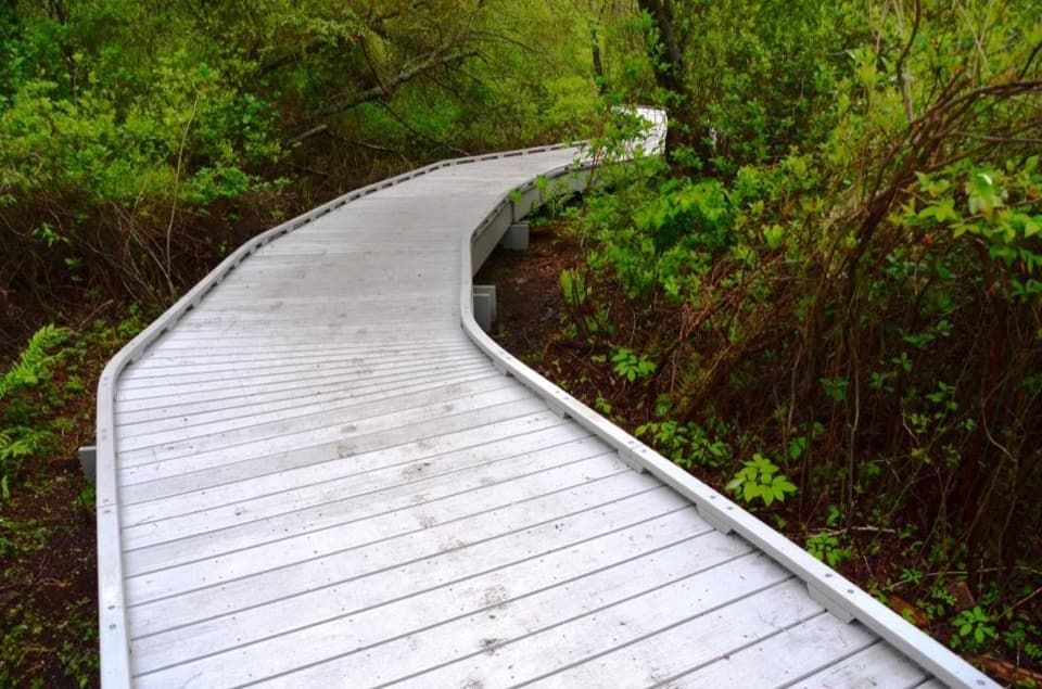
About 0.6 mile of the route is boardwalk, winding through wet ground among cedar trunks, dark pools, sphagnum moss hummocks and fallen wood. Look down through the gaps between planks for the water, then back up into the close cedar canopy. For a photo, get low enough to use the planks as a lead-in to the trees; the boardwalk is what makes this otherwise hidden wetland visible. Stay on the deck rather than stepping into the swamp. Some sections can be muddy after wet weather.
Atlantic white cedar swamps are remnants of a post-glacial ecosystem, and this one is an unusual pocket of it on Cape Cod. Many of the Cape's wetlands were drained or turned into cranberry bogs; this one remained a swamp. The close cedar trunks, mossy islands and waterlogged logs make the boardwalk more than a shortcut through the woods: it is a walk through a wetland that is easy to miss from dry ground. The boardwalk was rebuilt and reopened in 2020, keeping the walking route above the soft ground.
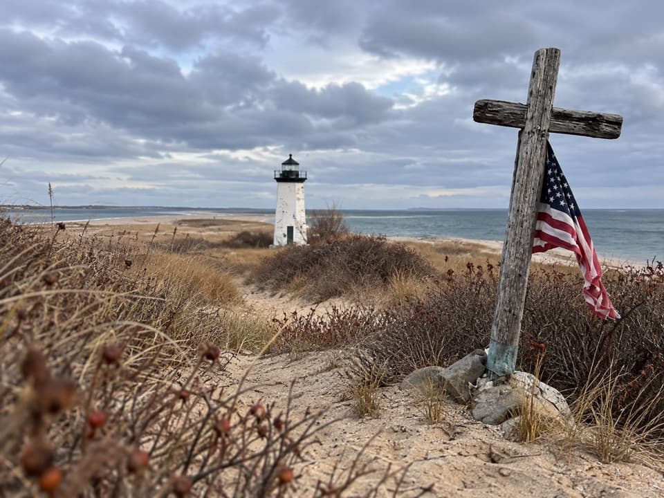
The return uses a half-mile of soft sand on historic Wireless Road. Walking in sand takes effort every step, so keep time for this stretch instead of rushing through the boardwalk and expecting an effortless finish. The road is linked to the nearby Marconi station, which made this quiet stretch of Wellfleet part of a much larger story. On January 18, 1903, the station sent the first public two-way wireless messages between Europe and America: a message from President Theodore Roosevelt and a reply from King Edward VII, both in Morse code. In 1912, wireless communication from Marconi's station helped the Carpathia find and rescue more than 700 Titanic survivors.
Use Marconi Site Parking Area, 195 Marconi Station Road; from Route 6, follow the brown signs for the Marconi Site and White Cedar Swamp. The trail entrance is beside seasonal restrooms, so do not count on the toilets outside their operating season. The trail is open year-round, but no food or drinking-water service is listed at the lot or along the route; bring what you need. Dogs are not allowed on Cape Cod National Seashore walking trails. The short loop is not a continuous firm, level path: its stairs, slopes and sand matter if you need an accessible surface.
Wildlife
 461 sightingsGray SealMost seen around 11 AMSighting map
 85 sightingsCoyoteMost seen around 6 AMSighting map
 300 sightingsRed FoxMost seen around 7 PMSighting map
 49 sightingsWhite-tailed DeerMost seen around 6 AMSighting map
 264 sightingsHorseshoe CrabMost seen around 8 PMSighting map
 74 sightingsGreat Blue HeronMost seen around 6 PMSighting map
Sighting maps show where each species has been reported across Cape Cod. Wildlife moves, so no sighting is guaranteed.
Keep exploring
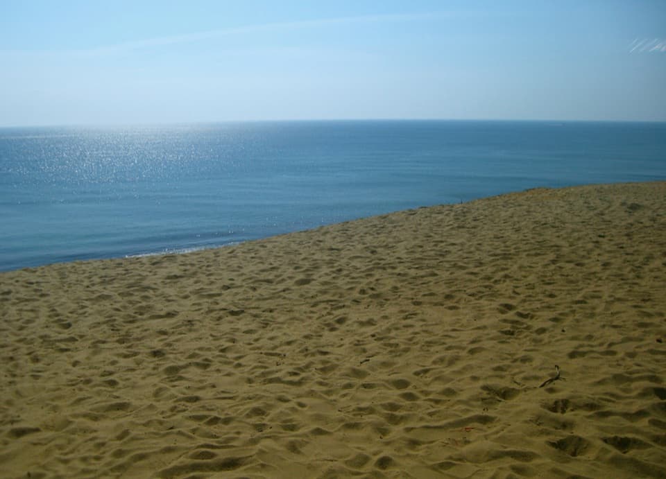 ModerateDuck Pond, Great Pond and White Crest Beach Loop5.9 mi · 2.5 hr · 2.3 mi awayTwo kettle ponds and a beach in one sandy loop.
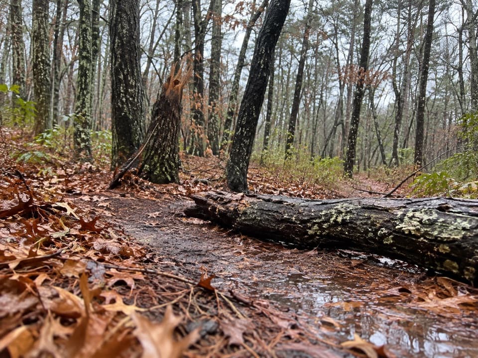 EasyAround Dyer Pond Loop1.3 mi · 40 min · 2.8 mi awayA compact loop circles a freshwater pond through Wellfleet woods.
 EasyHerring River Overlook Trail0.7 mi · 30 min · 4.7 mi awayA quick woodland loop to benches overlooking Herring River.
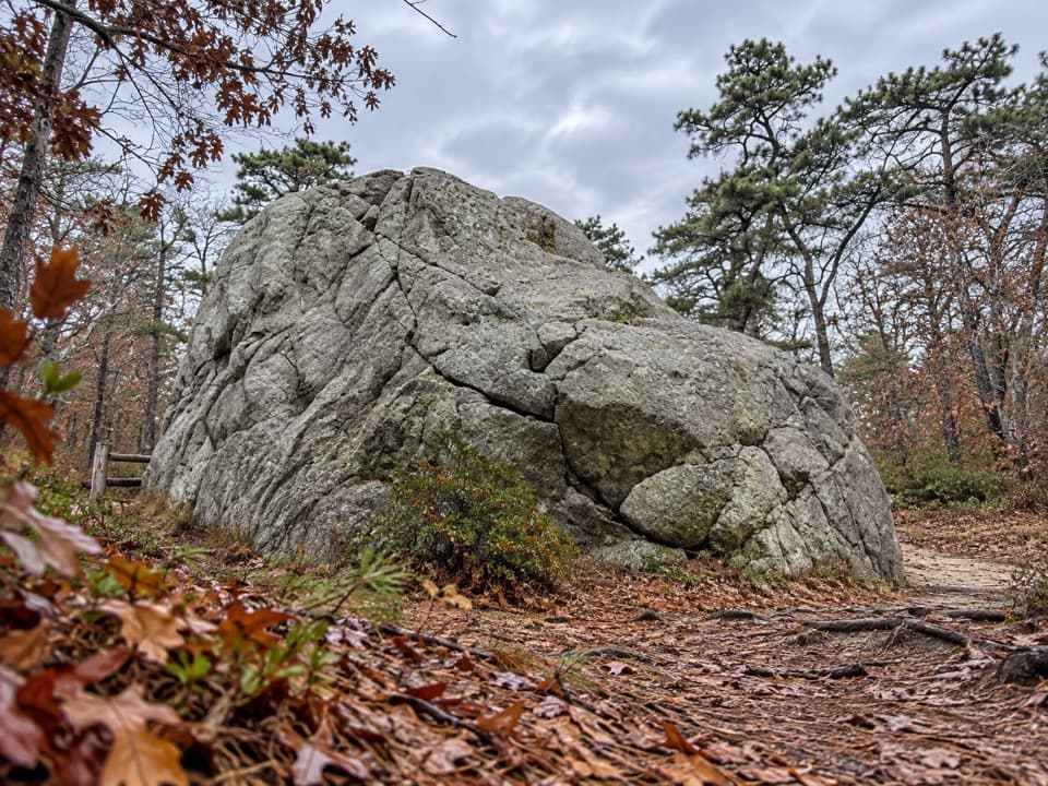 EasyDoane Trail0.6 mi · 30 min · 4.8 mi awayA short paved loop past a glacial boulder at the start.
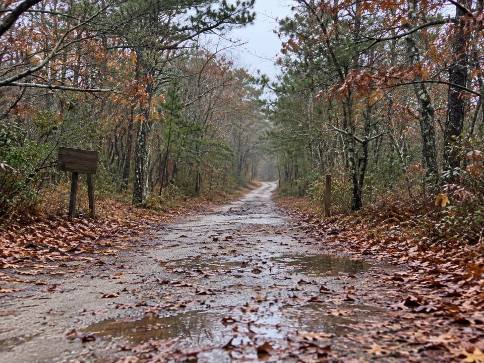 EasyOld Fox Bottom Road1.8 mi · 1 hr · 5 mi awayA Cold War fire road ends at an eroding Atlantic bluff.
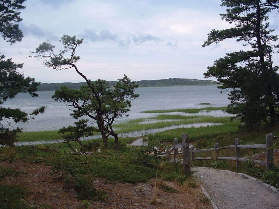 ModerateGreat Island Trail3.9 mi · 3 hr · 5.1 mi awayA sandy loop through pine, marsh, and a vanished colonial tavern.
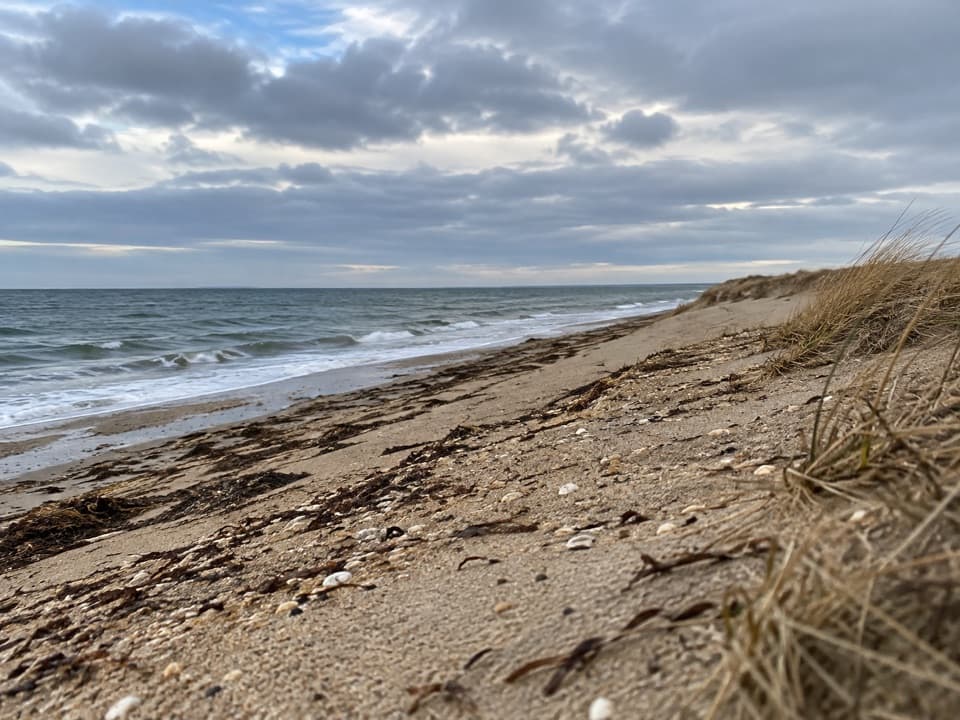 ModerateGriffin Island Loop3.9 mi · 2 hr · 5.1 mi awayBeach, brush, and a quiet river return make this an unusual loop.
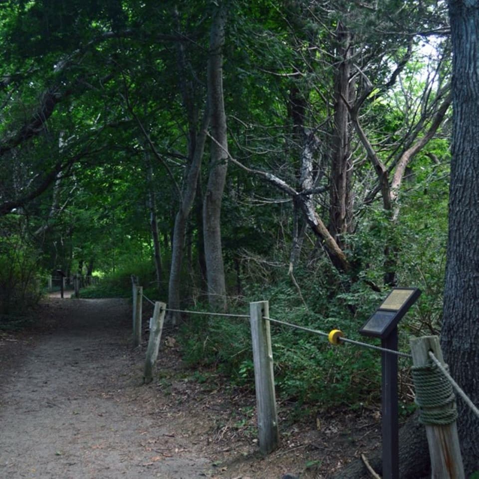 EasyButtonbush Trail0.3 mi · 15 min · 5.2 mi awayBraille, guide ropes and a pond bridge pack into 0.3 miles.
 Sight · 0.1 mi awayMarconi Station SiteSee the bluff where Marconi’s wireless station once stood.
 Beach · 0.7 mi awayLeCount Hollow BeachWide sand and surf below steep, grass-topped dunes.
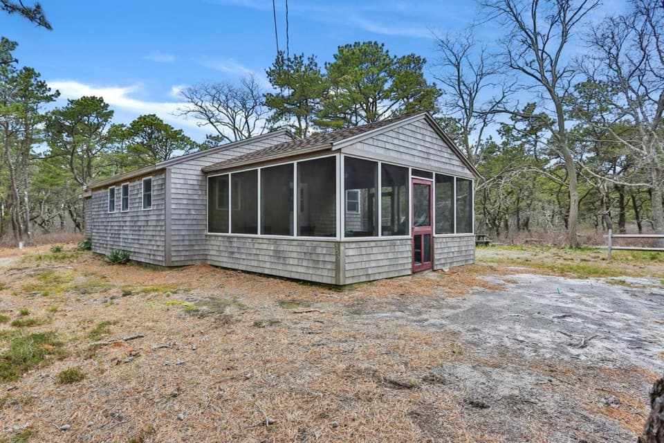 Lodging · 0.8 mi awayLeCount Beach HouseA pine-side rental near LeCount Beach and historic Wellfleet village.
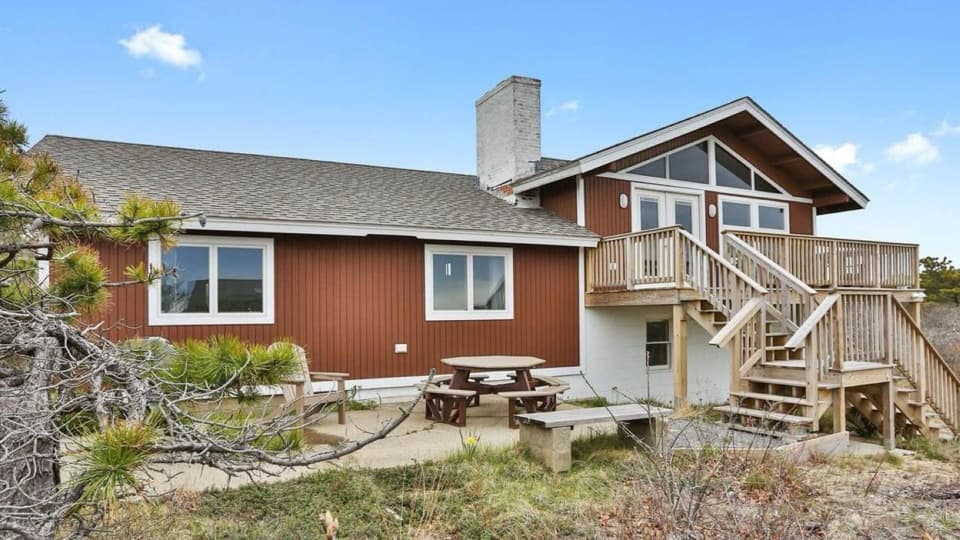 Lodging · 0.9 mi awaySunrise HouseA roomy NPS rental for Atlantic sunrises and beach time.
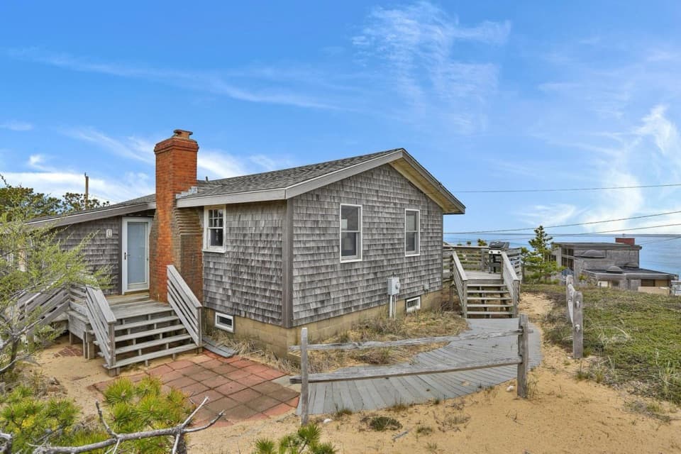 Lodging · 1 mi awayOcean View HouseA scarce in-park rental with a water-view deck and nearby beach
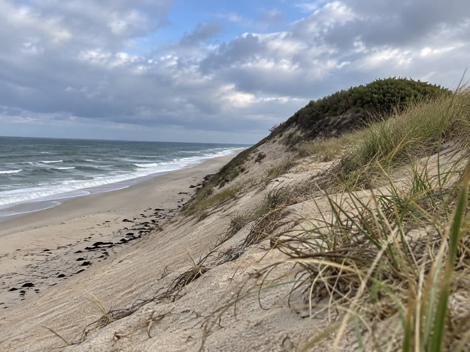 Beach · 1.5 mi awayWhite Crest BeachWide sand and Atlantic surf beneath high dune bluffs.
 Campground · 1.6 mi awayWellfleet Hollow State CampgroundA wooded base for Cape beaches, the Rail Trail, and Duck Pond.
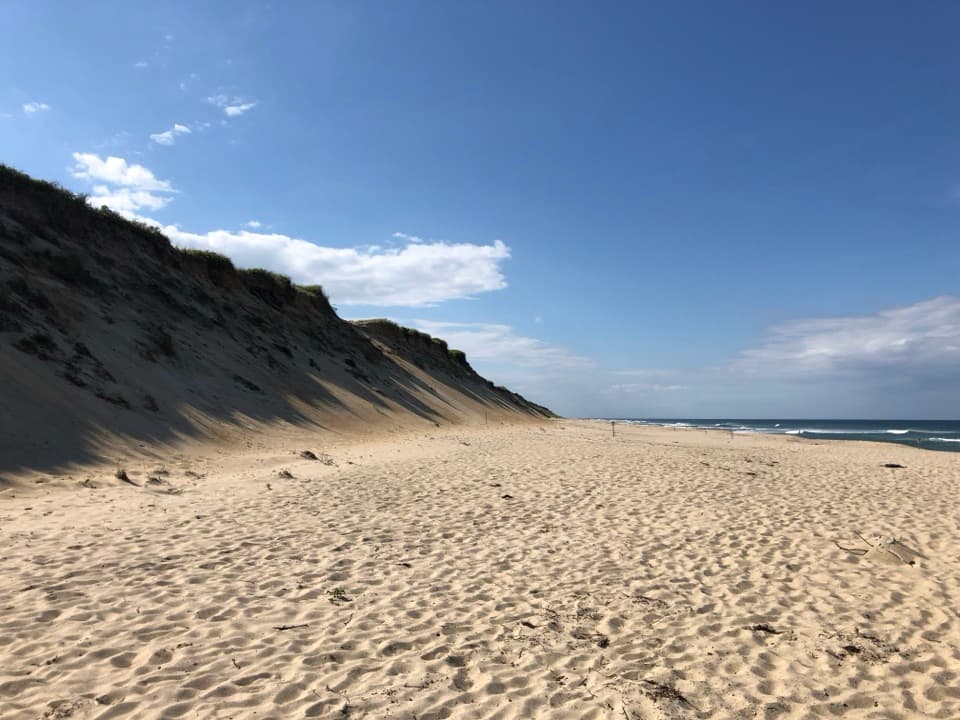 Beach · 1.6 mi awayMarconi BeachStairs lead from the bluff to miles of open Atlantic shore.
Parkwolf’s Cape Cod ranking
The audio tour guide for the drive, plus offline maps, trails, and wildlife heatmaps for when the signal drops.