
Place · 0 mi away
Challenging
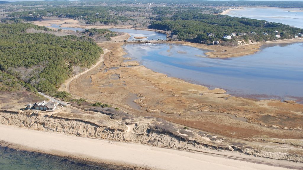
If you want the longest, toughest walk in this seashore, this is it. Great Island mixes pitch‑pine woods, sand dunes, salt‑marsh edges, and long Cape Cod Bay vistas. Distances range from a shorter 3.9‑mile loop to the full 8.8‑mile round trip, which most hikers need 3–5 hours for. The catch: much of the footing is soft beach sand, and sections can flood at high tide. Worth it? For sweeping water views and a real sense of remoteness—yes.
The basic loop tours forested rises and open dunes, passes the site of a colonial‑era tavern (no visible remains, just a wayside), and climbs Great Beach Hill for big‑sky views. Push farther to Jeremy Point Overlook, and, if the tide is out, continue along a narrow sandbar another 1.4 miles one way to Jeremy Point itself. Other named spots you’ll encounter: The Gut and Wellfleet Harbor overlooks. Pick the length you want, but remember all distances feel longer in deep sand.
Plan your day around the tide. Portions of the route are submerged at high tide—especially beyond the overlook—so start 1–2 hours before low tide if you’re aiming for Jeremy Point. Wayfinding can be fuzzy across dunes; grab the trail guide at the kiosk or a visitor center and keep an offline map handy.
Expect repeating transitions: pitch‑pine forest on higher knobs, grassy plains, wide beaches, and salt‑marsh embayments. Watch for herons and egrets working the marsh edges, and scan distant sandbars for seals. Views swing between the Herring River, Wellfleet Harbor, and the open bay.
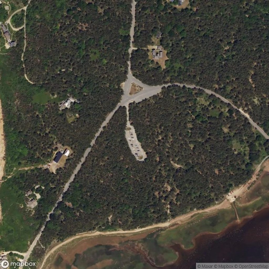
Trailhead parking sits at the corner of Griffin Island Road and Chequessett Neck Road; it’s free, with an overflow lot. There are portable toilets and a picnic area by the lot. Bring a hat, sturdy footwear, and plenty of water—there’s little shade and the sand saps energy. Sunscreen and bug spray help; biting flies can be fierce in midsummer, and grassy sections can hold ticks and poison ivy. Leashed pets are only permitted in limited signed areas and via beach access; inland sections are off‑limits to dogs.
Start early for cooler temps, quieter beaches, and cleaner light. Shoulder seasons offer fewer insects and clear views. Whatever the season, check the tide—and go when it’s heading out—to keep your shoes dry and your day stress‑free.
Free main and overflow lots at the end of Chequessett Neck Rd (corner of Griffin Island Rd); picnic area and portable toilets at the trailhead.
Sections submerge at high tide; plan around low tide. Expect long stretches of soft sand, some log steps, sparse wayfinding in dunes, biting flies in summer, ticks and poison ivy in grassy areas. Dogs are restricted to signed beach routes—no inland access.
Place · 0 mi away
Place · 0.8 mi away
Place · 1.6 mi away
Place · 3.1 mi away
Easy · 4.7 mi away
Easy · 5 mi away
Moderate · 5.2 mi away

Easy · 5.2 mi away

Parkwolf Tour Guide
