Parking
Santa Barbara Island is reached by boat; there is no road or vehicle parking on the island. Arrange your landing and transportation before travel.
Channel Islands National Park, CA
A short island walk to coastal views and seasonal wildflowers.
Overview
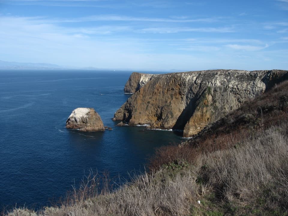
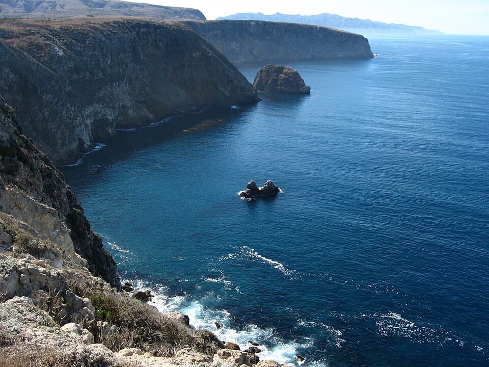
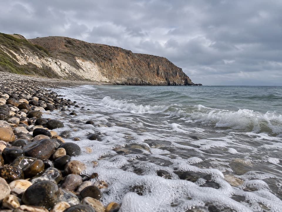
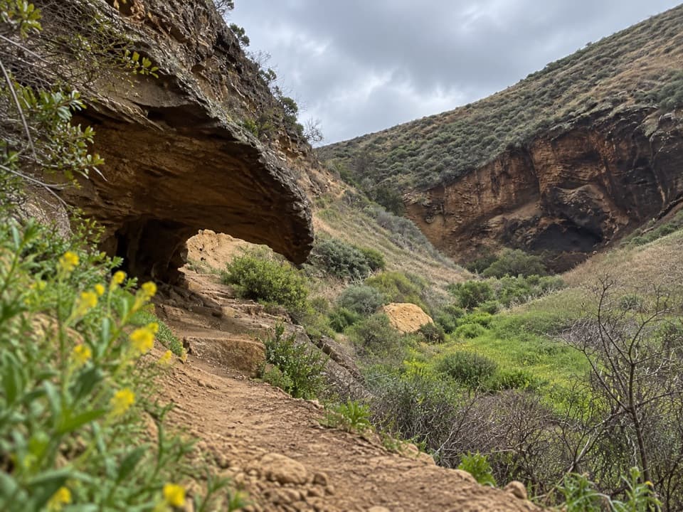
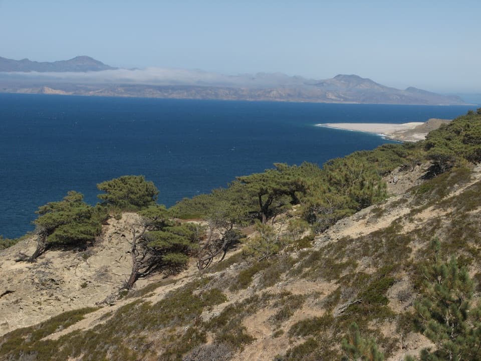
Arch Point is a moderate, one-mile round-trip walk from the Santa Barbara Island Visitor Center to the island’s north coast. The payoff is open ocean scenery and seasonal wildflowers across an exposed island landscape.
Map & elevation
Plan your hike

The highest, rockiest slopes around here are a summer buffet for grizzly bears.
Channel Islands Tour Guide
Parkwolf is a GPS audio tour guide for Channel Islands National Park. As you drive, it chimes in with what’s ahead: hidden gems, upcoming stops, history, geology, and wildlife, right through your car’s speakers.
See the Channel Islands audio tour“Fantastic app with many points of information… It’s great to just turn on while you’re driving and it gives you an audio tour of the national Park. We love it!!!!”


Trail guide
Follow the marked trail toward Arch Point, then return the same way. The one-mile figure is the total out-and-back distance. The official island map is a planning reference rather than a navigation map, so follow posted trail markers on the ground.
The route crosses open terrain with little shade. Carry water and wear shoes suited to uneven ground; there are few sheltered places to rest.
Stay on marked paths and give cliff edges room, since island cliffs can erode. Seasonal seabird nesting closures may restrict parts of the trail network; check current park notices before setting out.
Wildlife
 2,278 sightingsIsland FoxMost seen around 6 PMSighting map
 284 sightingsHumpback WhaleMost seen around 9 AMSighting map
 79 sightingsBlue WhaleMost seen around 7 AMSighting map
 102 sightingsGrey WhaleMost seen around 8 AMSighting map
 373 sightingsCalifornia Sea LionMost seen around noonSighting map
 106 sightingsBald EagleMost seen around 5 PMSighting map
Sighting maps show where each species has been reported across Channel Islands. Wildlife moves, so no sighting is guaranteed.
Keep exploring
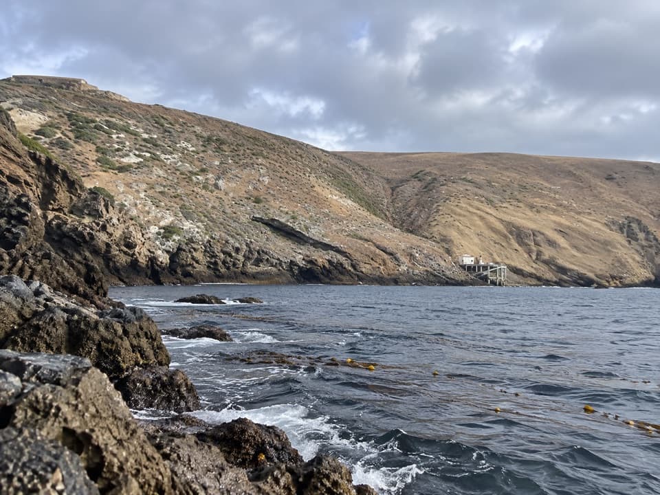 ChallengingSignal Peak Hike2.5 mi · 2.5 hr · At the trailheadSteep island climb, giant coreopsis, and views toward Sutil Island.
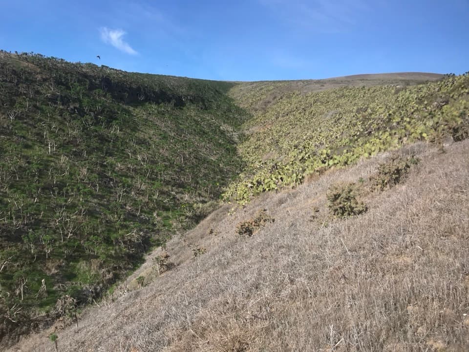 EasyCanyon View Nature Trail0.3 mi · 20 min · At the trailheadA 0.32-mile canyon loop near Santa Barbara Island’s visitor center.
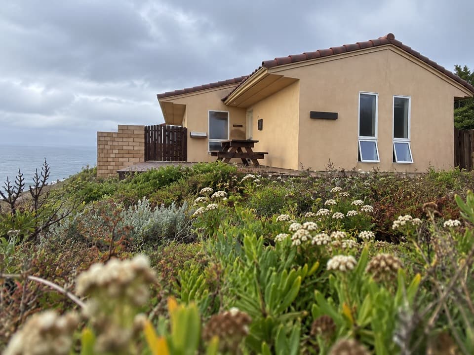 Visitor center · At the trailheadSanta Barbara Island Visitor CenterA small island center for natural and cultural context before the trails.
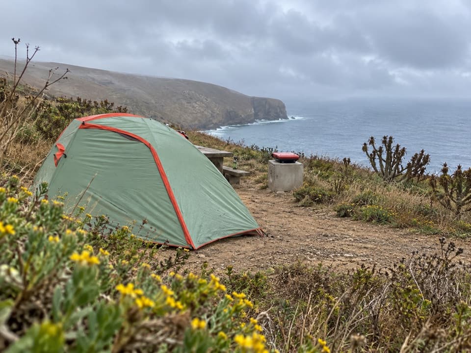 Campground · 0.1 mi awaySanta Barbara Island CampgroundA primitive island camp above a steep Landing Cove climb.
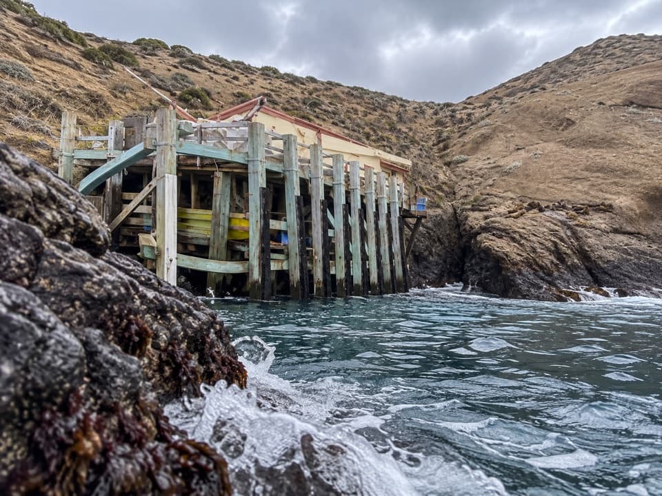 Sight · 0.1 mi awaySanta Barbara Island Landing CoveThe island begins here, below a steep 200-foot climb.
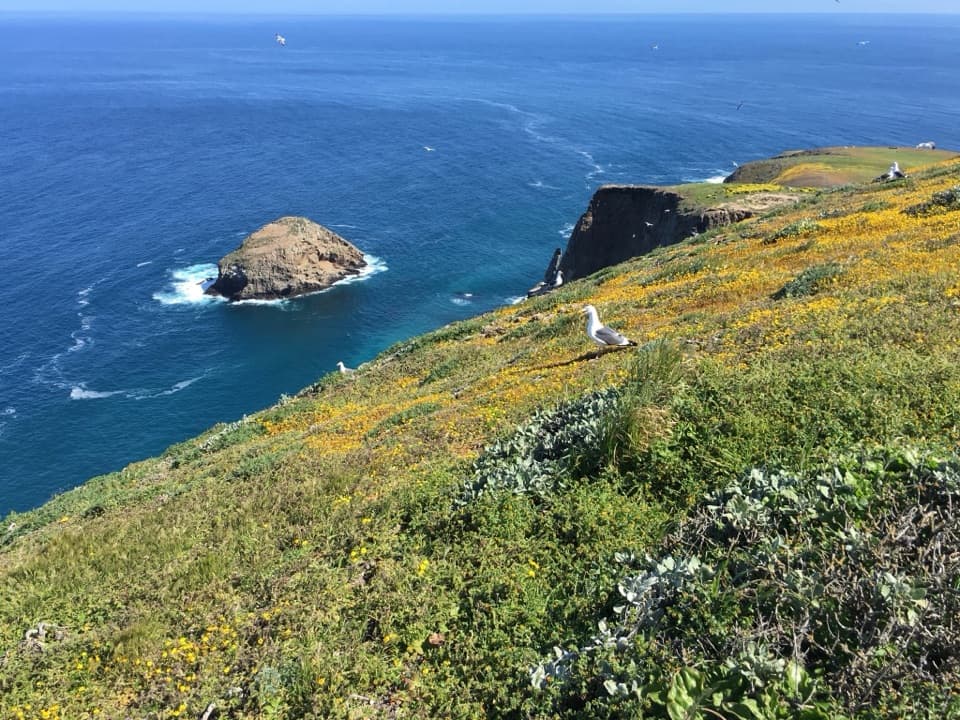 Sight · 0.4 mi awayShag Rock OverlookA short walk to Shag Rock and its nesting cormorants.
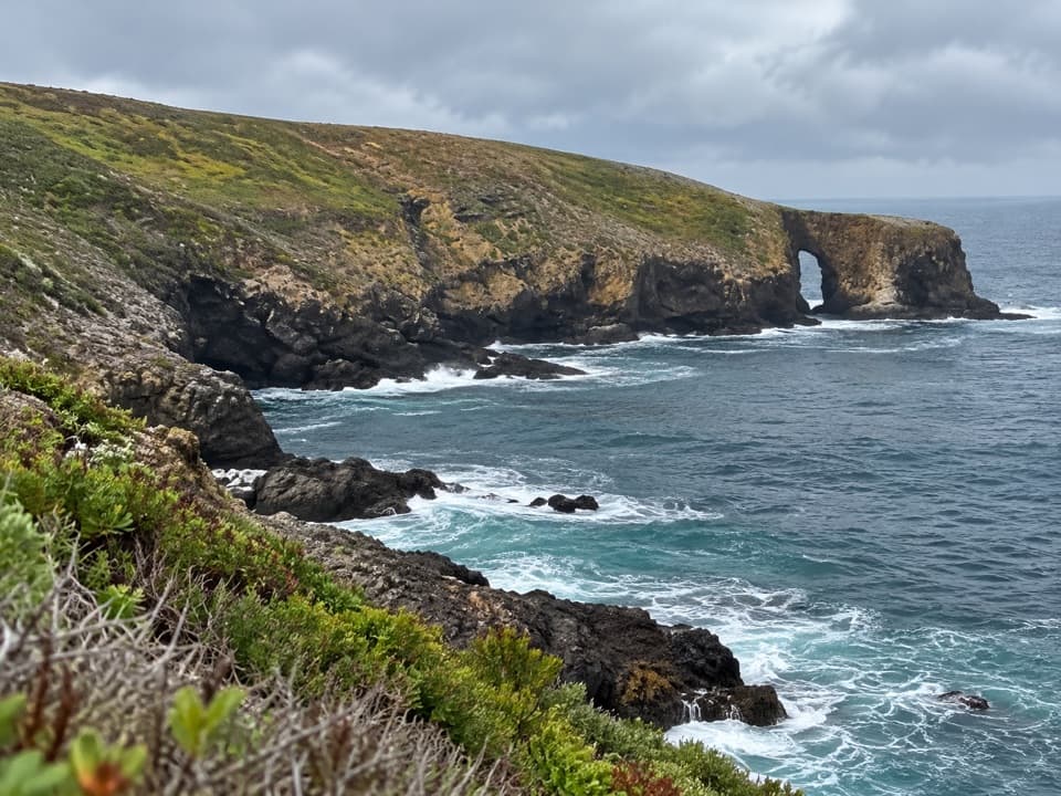 Sight · 0.5 mi awayArch PointA 130-foot sea arch on Santa Barbara Island’s northeast shore.
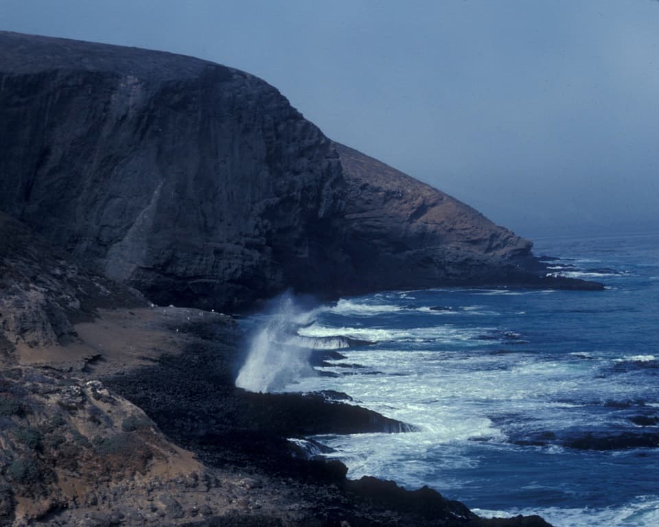 Sight · 0.6 mi awaySea Lion Rookery OverlookSea lions, surf, and a moderate walk above the rookery.
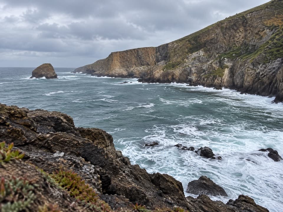 Sight · 0.7 mi awayElephant Seal Cove OverlookA 2.5-mile hike to Santa Barbara Island’s seal-watching cove.
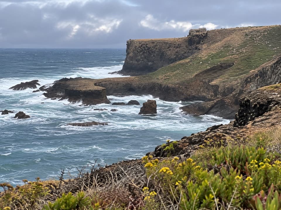 Sight · 0.8 mi awayWebster Point OverlookA coastal pause on the strenuous Signal Peak climb.
Parkwolf’s Channel Islands ranking

The audio tour guide for the drive, plus offline maps, trails, and wildlife heatmaps for when the signal drops.