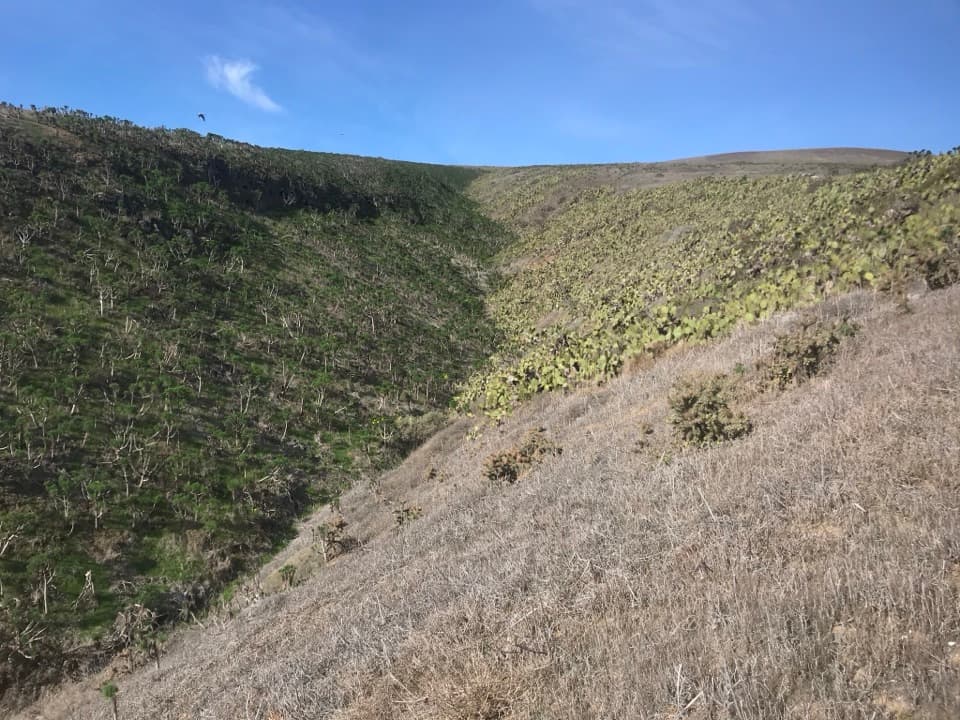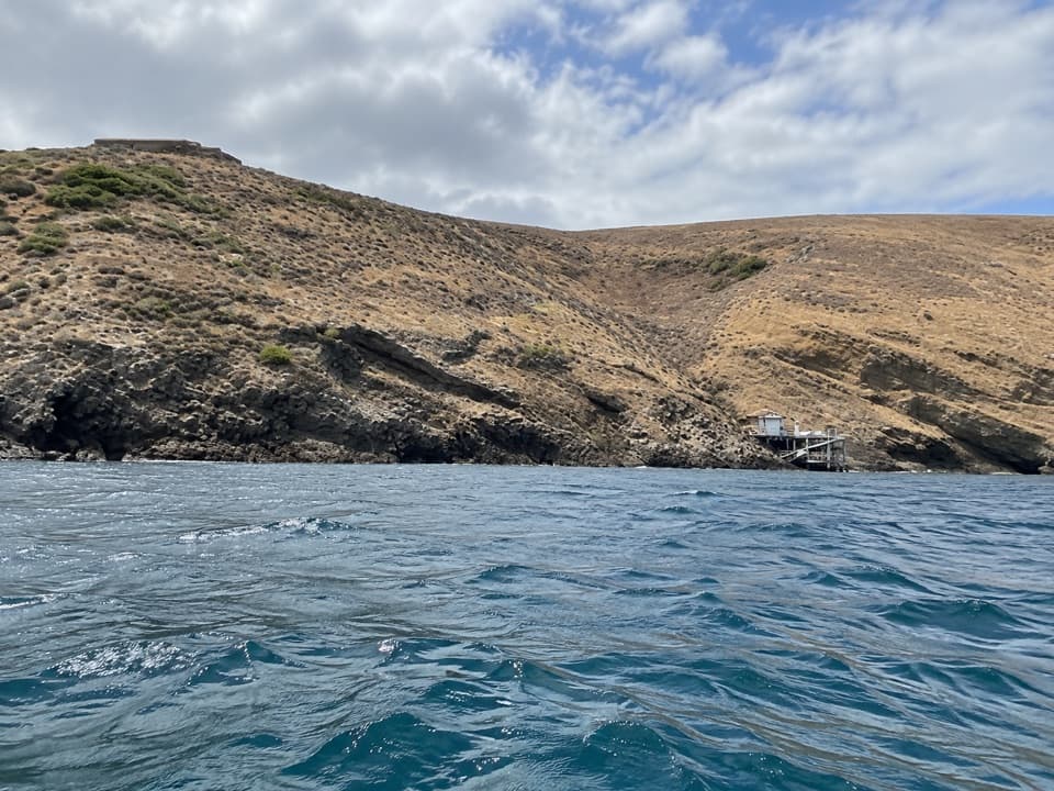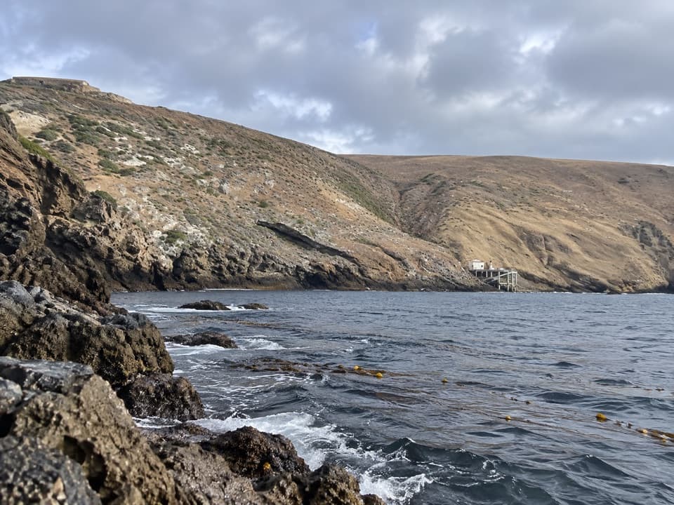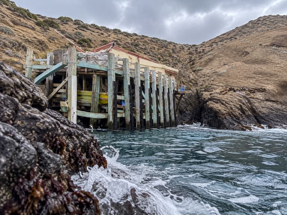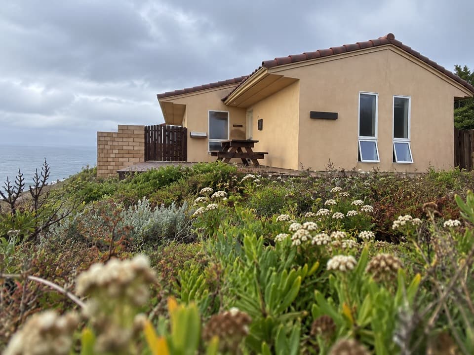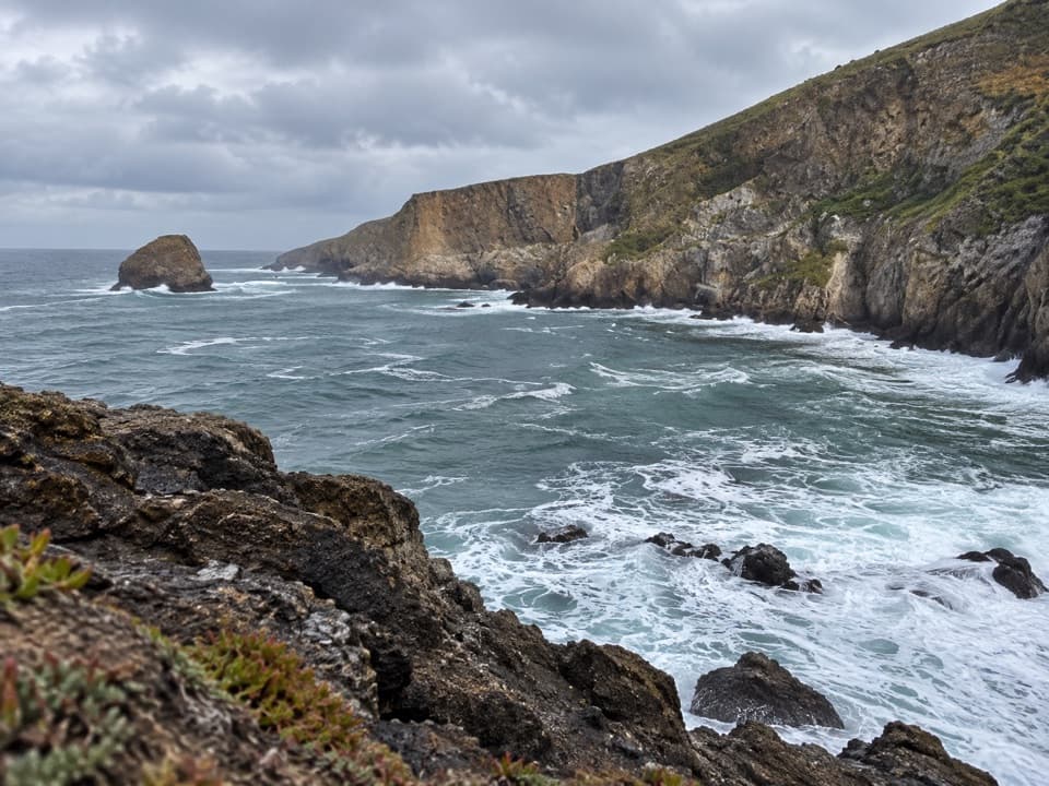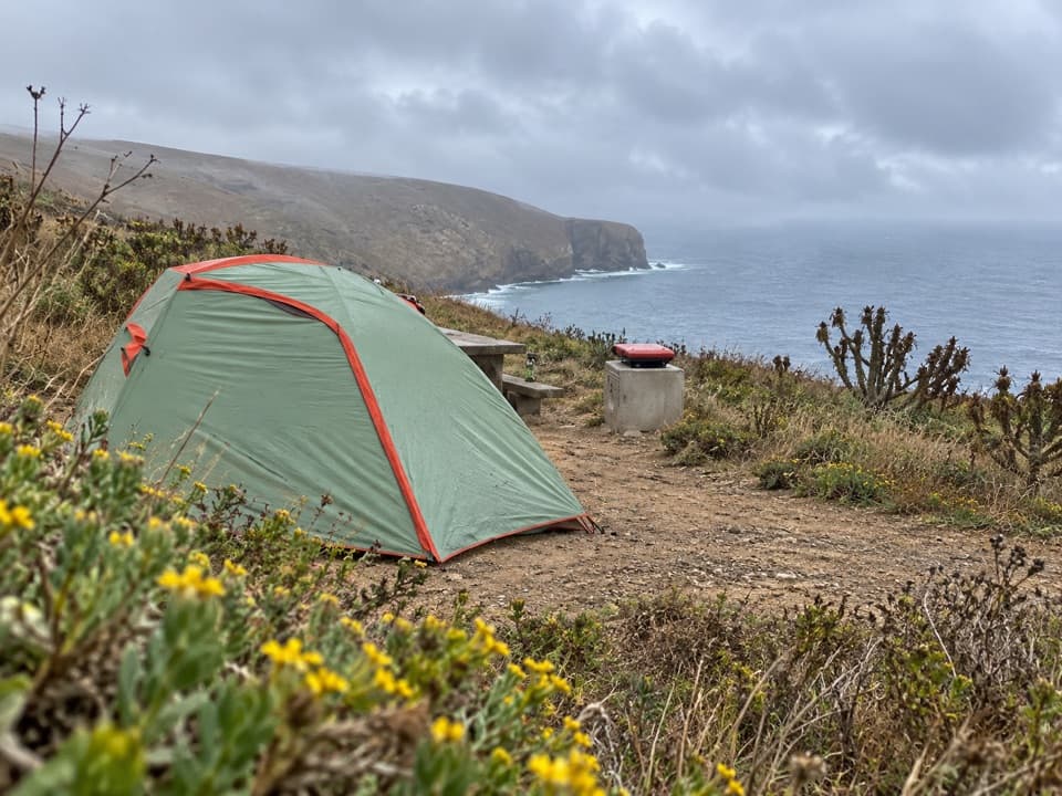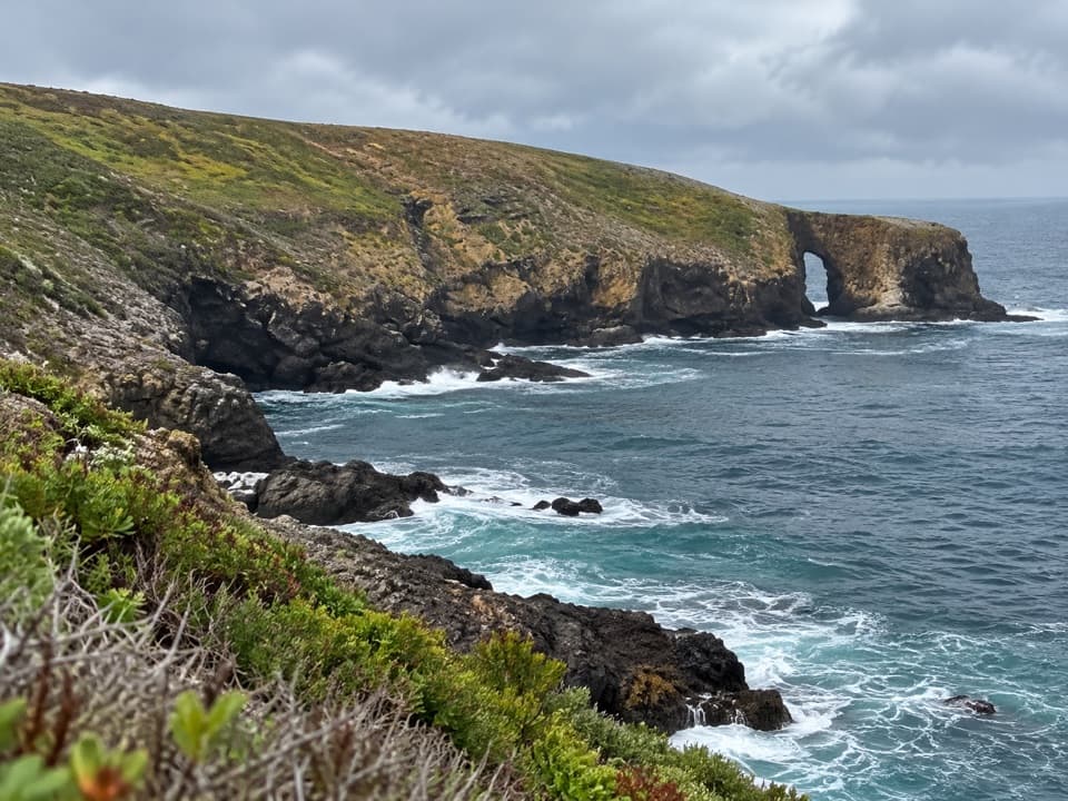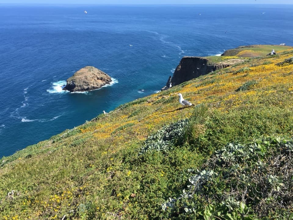
Shag Rock Overlook in Channel Islands National Park

Sight · Channel Islands National Park

Shag Rock Overlook

A short walk to Shag Rock and its nesting cormorants.

Photo: (c) Adam J. Searcy, some rights reserved (CC BY), CC BY 4.0

Type
Sight
Nearest trail
0.4 mi
  • Scenic viewpoint

Overview

About Shag Rock Overlook

Why stop

  • A cormorant rookery and broad coastal views share the same stop.
  • Uplifted marine terraces give the island a distinctive shape.

Heads up

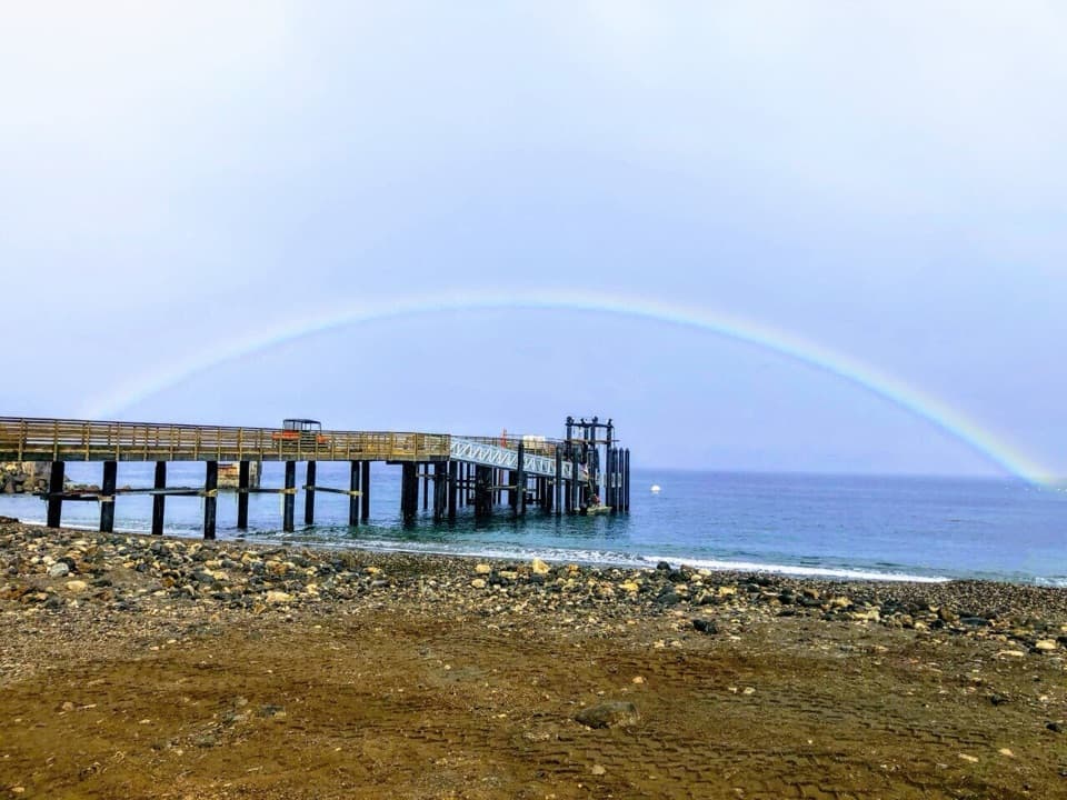
  • The island approach begins with a steep climb from the landing cove.

Map

Where it is

Loading the Channel Islands map
Full map
SightShag Rock Overlook33.48427, -119.03440
Keep this map with you offline in the Parkwolf app

Plan your stop

Before you go

2 active Channel Islands alerts

  • InfoSanta Barbara Island dock closed; landings restrictedMentions Santa Barbara Island, referenced in this guideThe Santa Barbara Island dock is closed; land only on the adjacent rocky ledge.Official details
  • ClosureSanta Rosa Island wildfire-recovery closuresBurned areas on Santa Rosa Island remain closed during wildfire recovery, and Southeast Quadrant backcountry beach camping is closed for the remainder of the 2026 recreation season.Official details

Channel Islands alerts
A park ranger sits on a dash-mounted phone, talking, as Parkwolf’s Tour Guide plays “Army Cutworm Moths: A Grizzly Bear Buffet” on Grand Loop Road below Dunraven Pass in Yellowstone
Parkwolf Tour GuideThe highest, rockiest slopes around here are a summer buffet for grizzly bears.

Channel Islands Tour Guide

Your drive to Shag Rock Overlook, narrated.

Parkwolf is a GPS audio tour guide for Channel Islands National Park. As you drive, it chimes in with what’s ahead: hidden gems, upcoming stops, history, geology, and wildlife, right through your car’s speakers.

See the Channel Islands audio tour
  • 16 audio storiesacross Channel Islands’s roads, triggered by GPS as you drive
  • Wildlife heatmapsfor Island Fox, Humpback Whale, Blue Whale, and 13 more
  • Works offlinemaps, 48 trails, 75 places, and audio download before you lose signal
  • CarPlay readysimple controls built for the drive
★★★★★
“Fantastic app with many points of information… It’s great to just turn on while you’re driving and it gives you an audio tour of the national Park. We love it!!!!”
JMJamesApp Store review
Download Parkwolf on the App StoreGet Parkwolf on Google Play

4.7 from 8,600+ ratings

Guide

More about Shag Rock Overlook

A viewpoint on the Arch Point walkShag Rock Overlook is a coastal viewpoint just west of Arch Point on Santa Barbara Island.

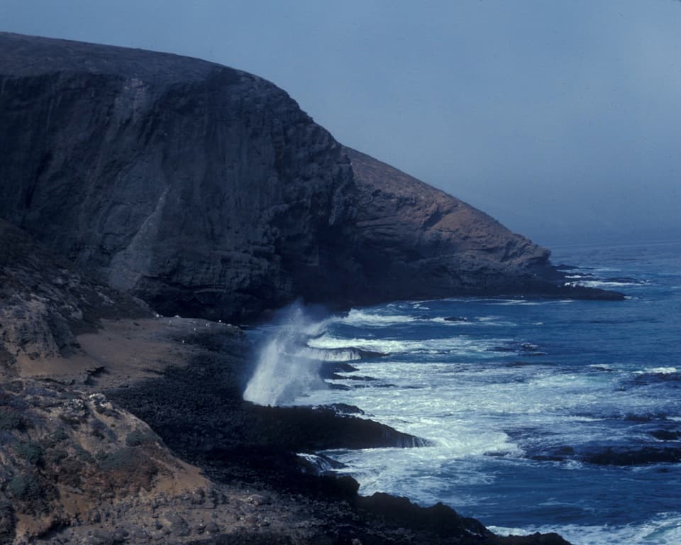
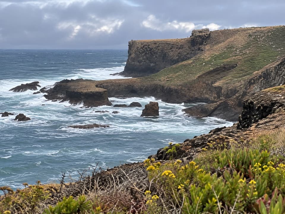
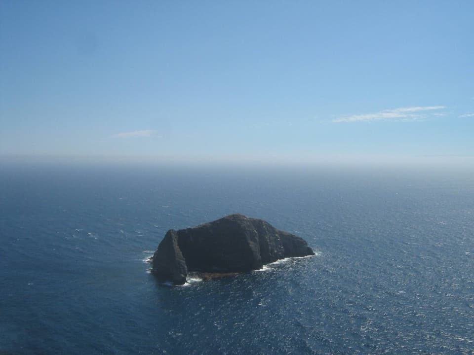
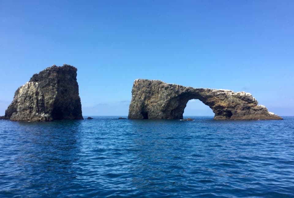
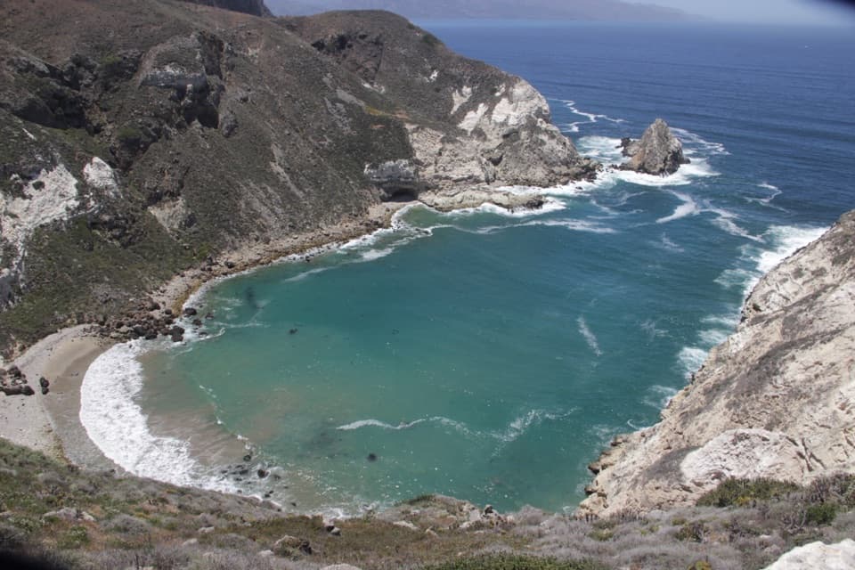
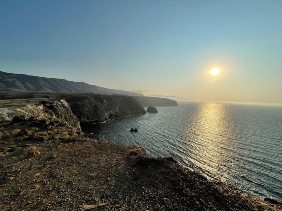
Shag Rock Overlook is a coastal viewpoint just west of Arch Point on Santa Barbara Island. It looks along the northwest shore to Shag Rock, an offshore rock about 145 feet above sea level and roughly an acre in size. It is a worthwhile stop on the moderate Arch Point walk, especially if you want to take in the island's exposed coast and seabirds.

Look for the cormorantsShag is another name for a cormorant, and cormorants nest on the offshore rock.

Shag is another name for a cormorant, and cormorants nest on the offshore rock. Frame it with part of the coastline and water around it; the broader view gives this small rookery more context than a tight shot of the rock alone. The Arch Point walk is also known for seasonal wildflowers and sunset views, so leave a little time to look beyond the overlook itself.

Read the island's old shorelinesSanta Barbara Island has six broad marine terraces: ancient shorelines flattened by waves, then…

Santa Barbara Island has six broad marine terraces: ancient shorelines flattened by waves, then lifted as sea level changed and tectonic forces raised the land. The stepped coastal plains are part of the island's story, and wave erosion still cuts a platform at the base of its sea cliffs.

Make the approach countThe Arch Point walk is one mile round trip from the island visitor center and rated moderate.

The Arch Point walk is one mile round trip from the island visitor center and rated moderate. Reaching the island from its landing cove starts with a steep trail climb; paths across the top then cross gentler slopes and low ridges. There is no reliable cell service or Wi-Fi on the islands, so download maps before leaving the mainland.

Wildlife

Wildlife in Channel Islands

All Channel Islands wildlife maps

Sighting maps show where each species has been reported across Channel Islands. Wildlife moves, so no sighting is guaranteed.

Parkwolf’s Channel Islands ranking

Top sights in Channel Islands

All 75 places
  1. 1Inspiration PointSight
  2. 2Scorpion Anchorage and BeachBeach
  3. 3Arch RockSight
  4. 4Potato Harbor OverlookSight
  5. 5Painted CaveSight
  6. 6Cavern PointSight

Take Parkwolf to Channel Islands.

The audio tour guide for the drive, plus offline maps, trails, and wildlife heatmaps for when the signal drops.

4.7 from 8,600+ ratings

Download Parkwolf on the App StoreGet Parkwolf on Google Play