Parking
No road access or trailhead parking on Santa Barbara Island. Arrive by boat at Landing Cove and start near the visitor-center orientation sign.
Channel Islands National Park, CA
Steep island climb, giant coreopsis, and views toward Sutil Island.
Overview
Map & elevation
Plan your hike

The highest, rockiest slopes around here are a summer buffet for grizzly bears.
Channel Islands Tour Guide
Parkwolf is a GPS audio tour guide for Channel Islands National Park. As you drive, it chimes in with what’s ahead: hidden gems, upcoming stops, history, geology, and wildlife, right through your car’s speakers.
See the Channel Islands audio tour“Fantastic app with many points of information… It’s great to just turn on while you’re driving and it gives you an audio tour of the national Park. We love it!!!!”


Trail guide
Signal Peak Hike is a 2.5-mile out-and-back from the visitor-center orientation sign to Santa Barbara Island’s 635-foot high point. It is a strenuous climb, though the upper slopes roll more gently near the ridge. Allow about 2–3 hours for the ascent, summit stop and return; that is a practical estimate, not a published time. A separate 3-mile circuit also reaches Signal Peak, but this route follows the shorter summit-and-back itinerary.
This is a boat-access hike with no road approach or trailhead parking on the island. Bring your food, water and other supplies before leaving the mainland: there are no shops or drinking-water sources on Santa Barbara Island, though restrooms are available. Cell service is unreliable, so save your map in advance. Pets are not allowed; service animals need separate park approval before island access. Parts of the trail network may close to protect nesting birds, so follow posted routing. For a shorter walk after landing, Arch Point is a one-mile round trip rated moderate.
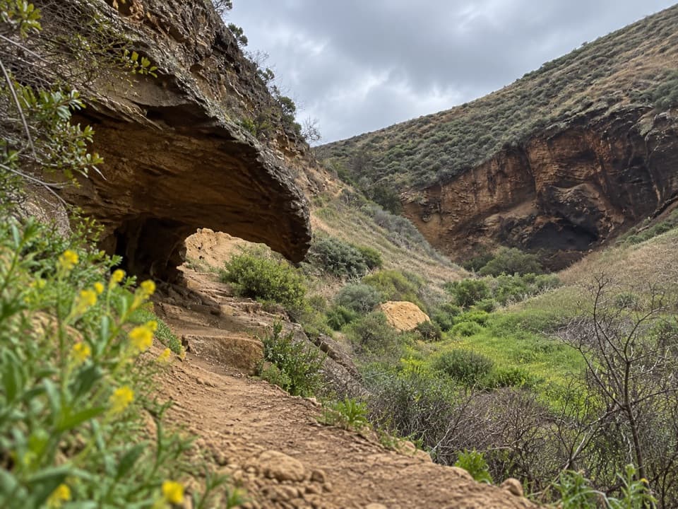
The route leaves the Landing Cove area on a steep, rugged climb, then crosses more gently rolling, grass-covered upland. The island is treeless, leaving much of the walk open to sun and wind. The saddle between North Peak and Signal Peak comes partway up; beyond it the trail reaches a bluff below the summit before the final high point. Stay on designated paths. Some cliff edges are unmarked, and the exposed cliff tops are fragile; do not step past boundary markers and keep children close.
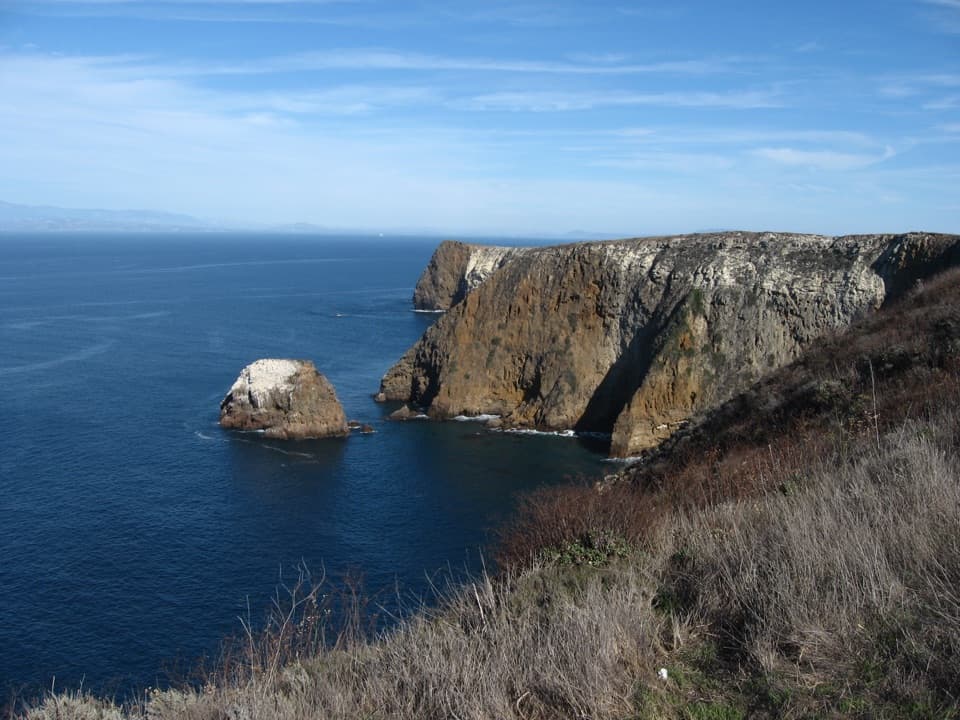
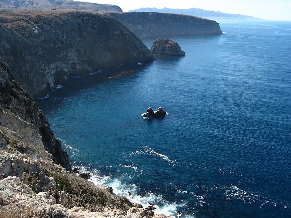
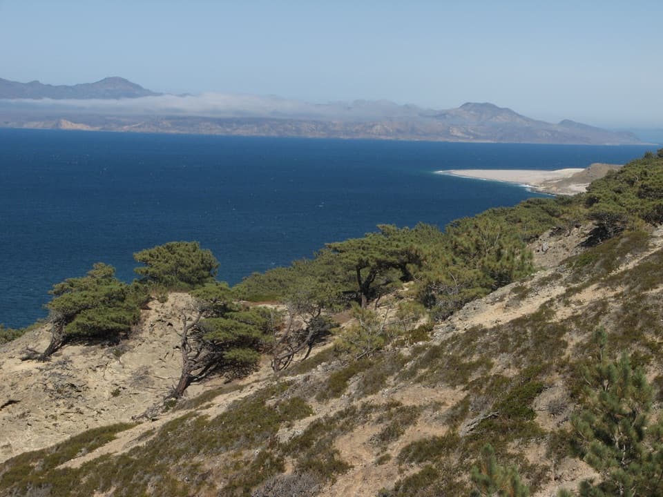
At 635 feet, Signal Peak is Santa Barbara Island’s highest point. The view takes in giant coreopsis on the slopes, Sutil Island offshore, and Webster Point along the western coast. The bluff just below the summit is another good pause, with Sutil in the foreground of the seascape. When coreopsis is blooming, frame the yellow flowers against the island and water rather than isolating a single plant.
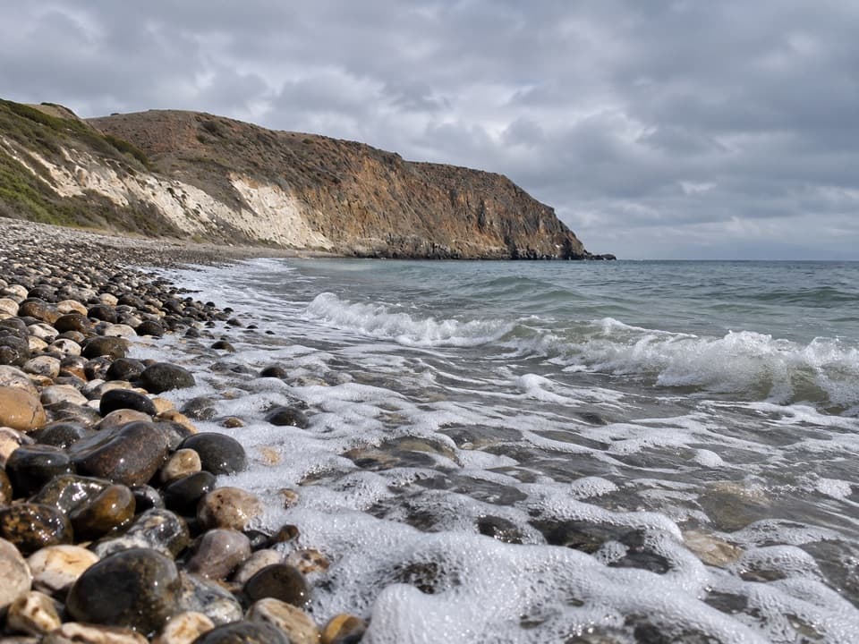
The broad bench near the saddle is one of the island’s marine terraces: an old shoreline flattened by waves, then lifted as sea levels and the land changed. The island’s volcanic rocks and marine sediments were deposited roughly 15–30 million years ago and later folded and faulted as tectonic forces pushed the Channel Islands upward. Wave erosion is still cutting a new platform at the base of the cliffs.
After winter rains, giant coreopsis can brighten the slopes. Santa Barbara Island live-forever grows nowhere else, and the island’s isolation has shaped a small, distinctive community of plants and animals. Its seabird cliffs and nearby islets support nesting colonies that include Scripps’s murrelets, brown pelicans and western gulls; sightings are a bonus, not a promise. Ranching, farming and introduced predators damaged native habitat. The island song sparrow was lost in the 1960s, while later habitat restoration has helped native vegetation and island night lizards recover.
Wildlife
 2,278 sightingsIsland FoxMost seen around 6 PMSighting map
 284 sightingsHumpback WhaleMost seen around 9 AMSighting map
 79 sightingsBlue WhaleMost seen around 7 AMSighting map
 102 sightingsGrey WhaleMost seen around 8 AMSighting map
 373 sightingsCalifornia Sea LionMost seen around noonSighting map
 106 sightingsBald EagleMost seen around 5 PMSighting map
Sighting maps show where each species has been reported across Channel Islands. Wildlife moves, so no sighting is guaranteed.
Keep exploring
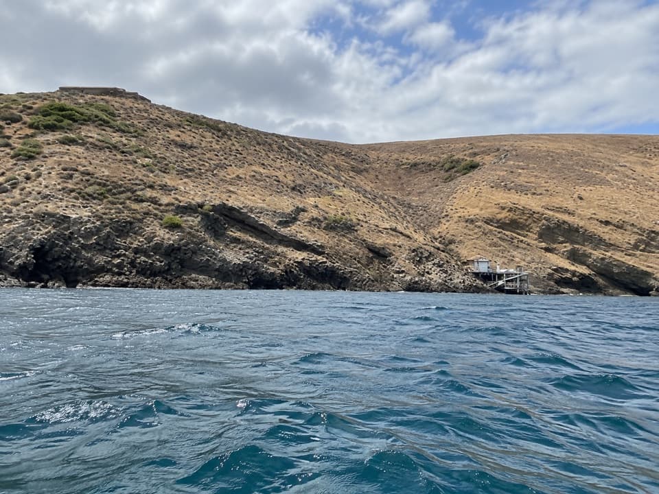 ModerateArch Point Hike1 mi · 1 hr · At the trailheadA short island walk to coastal views and seasonal wildflowers.
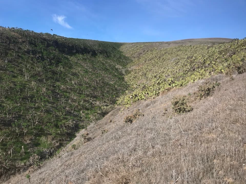 EasyCanyon View Nature Trail0.3 mi · 20 min · At the trailheadA 0.32-mile canyon loop near Santa Barbara Island’s visitor center.
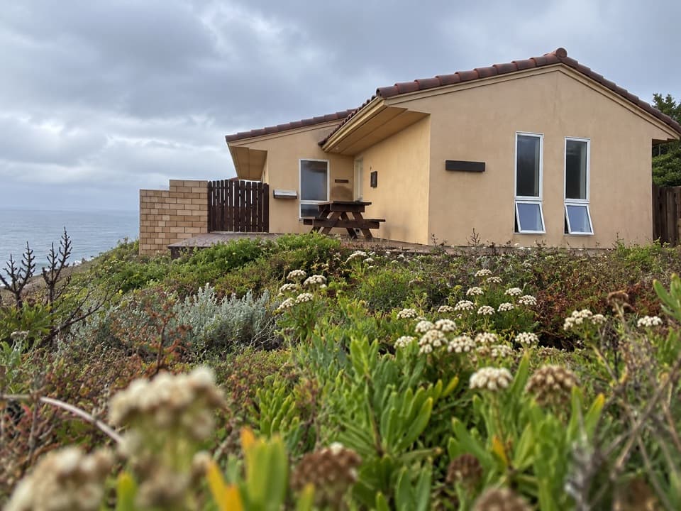 Visitor center · At the trailheadSanta Barbara Island Visitor CenterA small island center for natural and cultural context before the trails.
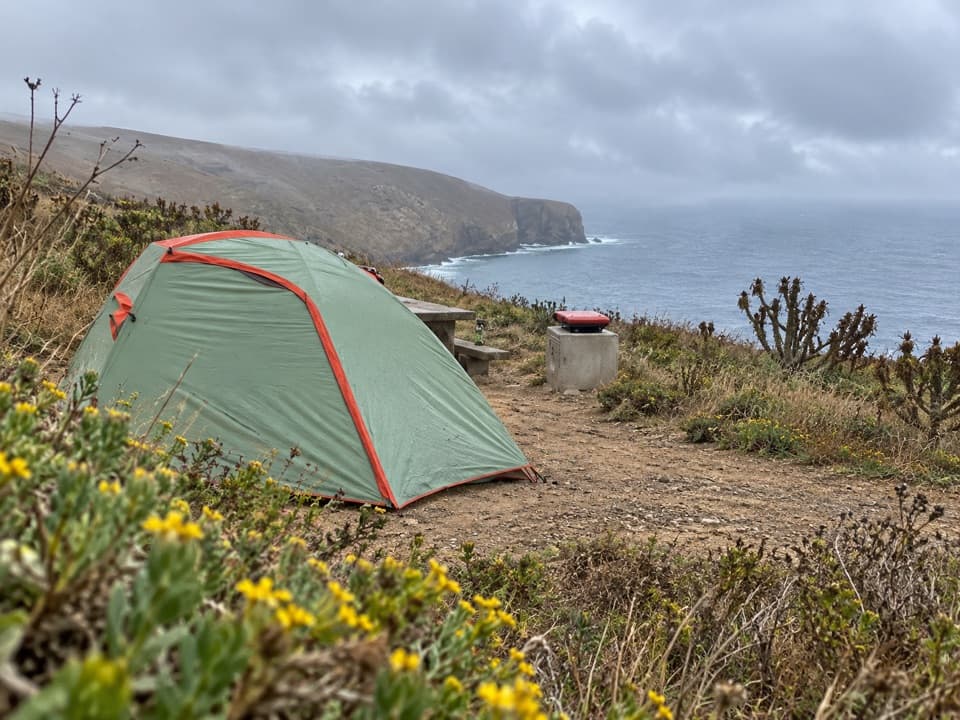 Campground · 0.1 mi awaySanta Barbara Island CampgroundA primitive island camp above a steep Landing Cove climb.
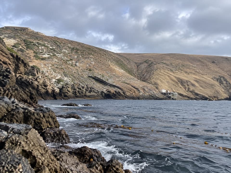
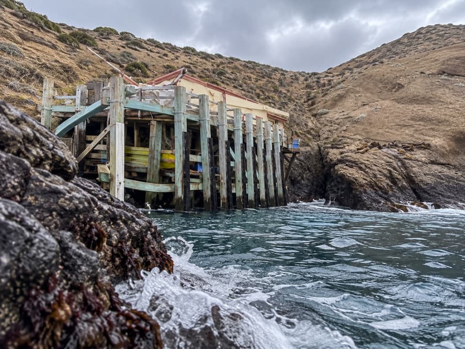 Sight · 0.1 mi awaySanta Barbara Island Landing CoveThe island begins here, below a steep 200-foot climb.
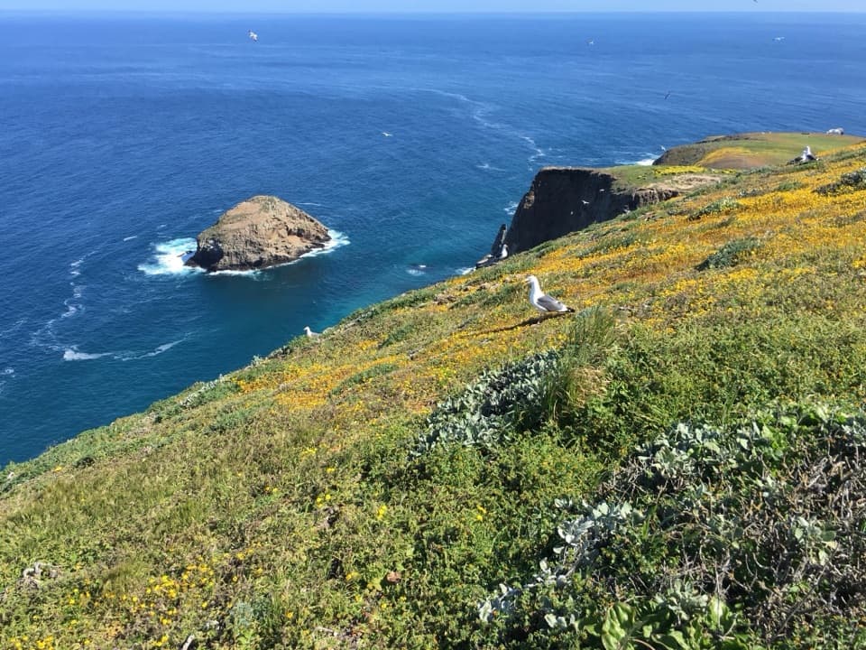 Sight · 0.4 mi awayShag Rock OverlookA short walk to Shag Rock and its nesting cormorants.
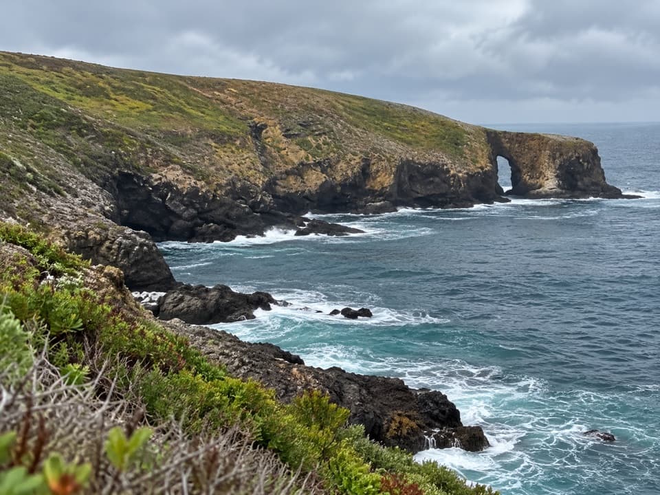 Sight · 0.5 mi awayArch PointA 130-foot sea arch on Santa Barbara Island’s northeast shore.
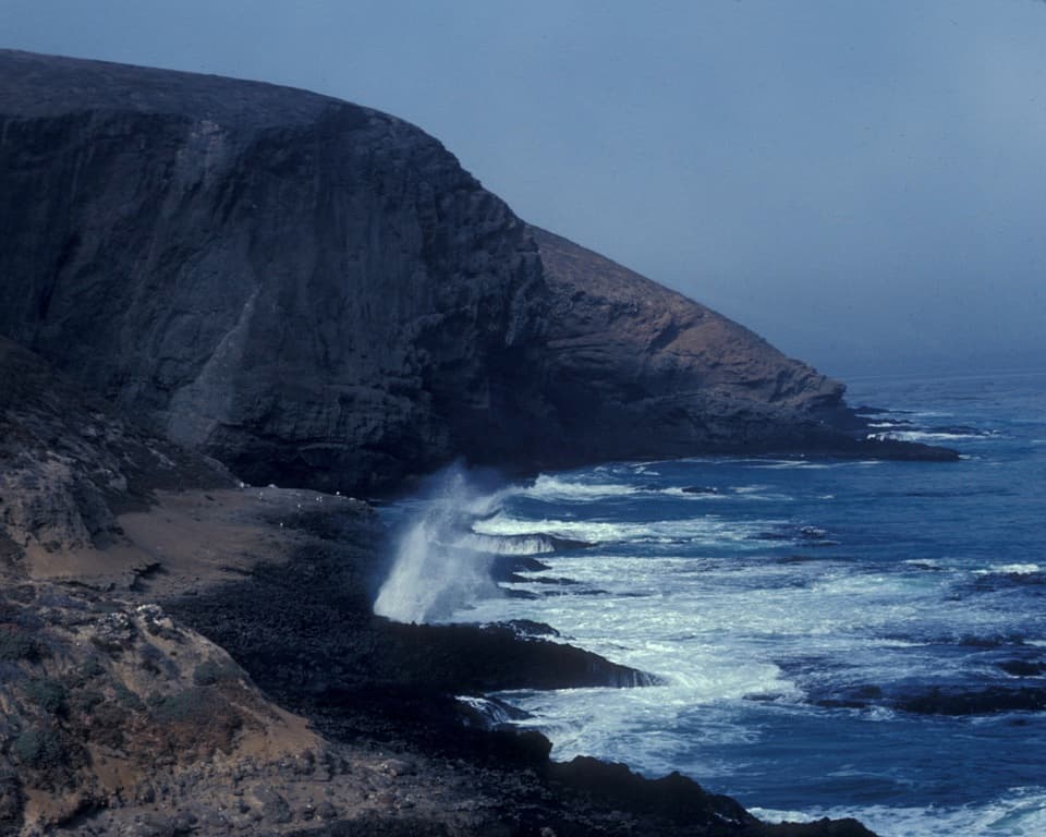 Sight · 0.6 mi awaySea Lion Rookery OverlookSea lions, surf, and a moderate walk above the rookery.
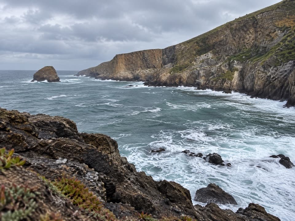 Sight · 0.7 mi awayElephant Seal Cove OverlookA 2.5-mile hike to Santa Barbara Island’s seal-watching cove.
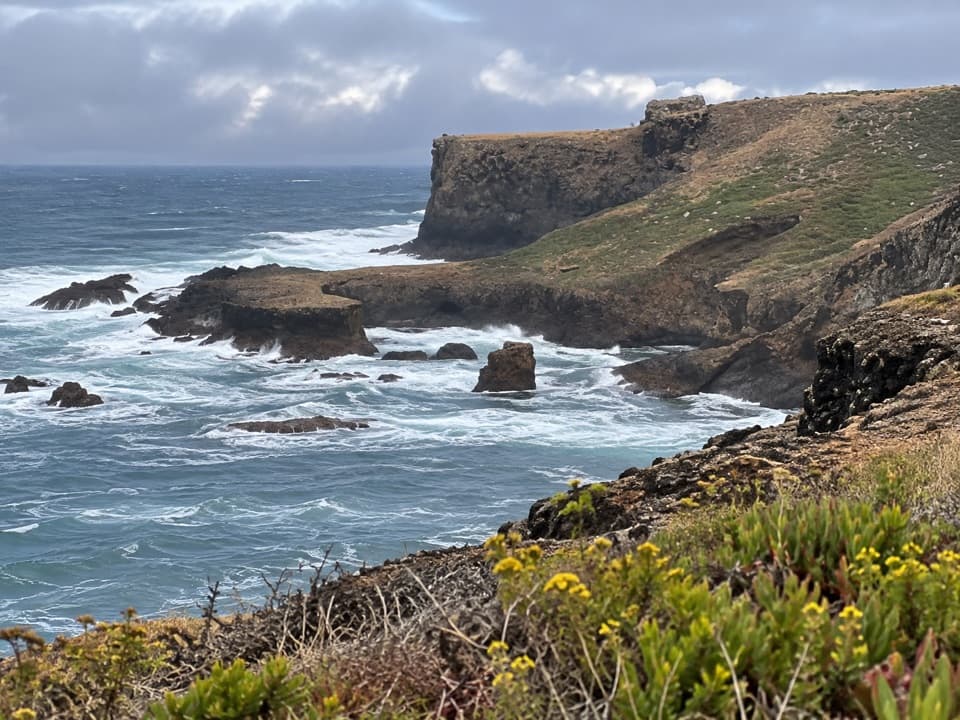 Sight · 0.8 mi awayWebster Point OverlookA coastal pause on the strenuous Signal Peak climb.
Parkwolf’s Channel Islands ranking

The audio tour guide for the drive, plus offline maps, trails, and wildlife heatmaps for when the signal drops.