Parking
No vehicle parking is available on East Anacapa. Arrive at Landing Cove, climb the island stairway to the East Anacapa visitor-center trail network, and start the hike there.
Channel Islands National Park, CA
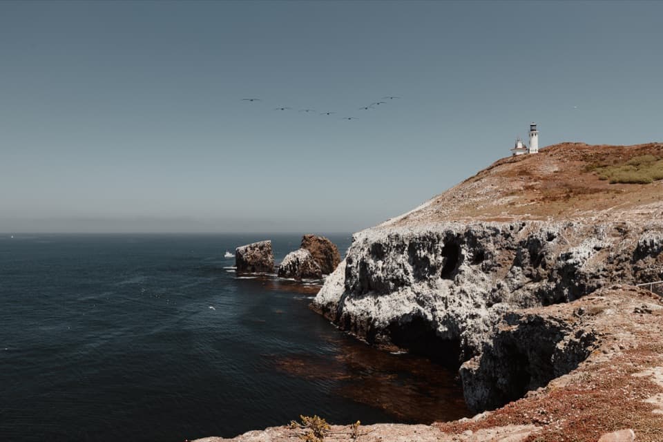
A short walk to Anacapa's 1932 lighthouse above rugged sea cliffs.
Photo: Ralph Custodio / NPS
Overview
Map & elevation
Plan your hike

The highest, rockiest slopes around here are a summer buffet for grizzly bears.
Channel Islands Tour Guide
Parkwolf is a GPS audio tour guide for Channel Islands National Park. As you drive, it chimes in with what’s ahead: hidden gems, upcoming stops, history, geology, and wildlife, right through your car’s speakers.
See the Channel Islands audio tour“Fantastic app with many points of information… It’s great to just turn on while you’re driving and it gives you an audio tour of the national Park. We love it!!!!”


Trail guide
The Lighthouse Hike is an easy 0.5-mile out-and-back from the East Anacapa visitor center to the viewing area beside the historic light station. The NPS distance is round trip from the visitor center; it does not include the climb up from Landing Cove. Allow 20 to 30 minutes to walk out, look around, and return. It is a quick way to see the island's working lighthouse without taking on the longer figure-eight trail network.
From the visitor-center trail junction, a ground path crosses the plateau east toward the lighthouse at the island's tip. Turn around at the public approach and retrace the same corridor. The lighthouse itself is not open for tours, but the surrounding area gives you a look at the white tower above Anacapa's rocky edge and the open water. For a photo, keep some cliff and sea in the frame with the tower.
Stay on the designated trail and behind the ground markers at overlooks. Some cliff edges are unmarked, fragile, and eroding.
The permanent light station followed decades of shipwrecks in the foggy, current-swept Santa Barbara Channel. The wreck of the steamer Winfield Scott in 1853 helped drive calls for a lighthouse; a temporary beacon appeared in 1911, and the permanent light was first lit on March 25, 1932. The original Fresnel lens is on display in the East Anacapa visitor center, a good extra stop before heading back down the island.
The boat landing is at Landing Cove, below the visitor-center trail network; climb the island stairway before starting this short hike. There is no vehicle parking on East Anacapa. Restrooms and picnic tables are by the visitor-center area, but the island has no fresh-water source, so bring water. Pets are not allowed on the islands; service animals follow the park's separate health protocol.
Wildlife
 2,278 sightingsIsland FoxMost seen around 6 PMSighting map
 284 sightingsHumpback WhaleMost seen around 9 AMSighting map
 79 sightingsBlue WhaleMost seen around 7 AMSighting map
 102 sightingsGrey WhaleMost seen around 8 AMSighting map
 373 sightingsCalifornia Sea LionMost seen around noonSighting map
 106 sightingsBald EagleMost seen around 5 PMSighting map
Sighting maps show where each species has been reported across Channel Islands. Wildlife moves, so no sighting is guaranteed.
Keep exploring
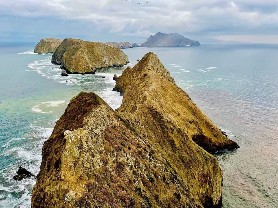 EasyEast Anacapa Island Loop Trail2 mi · 2 hr · At the trailheadA two-mile island loop links cliff overlooks with a historic lighthouse.
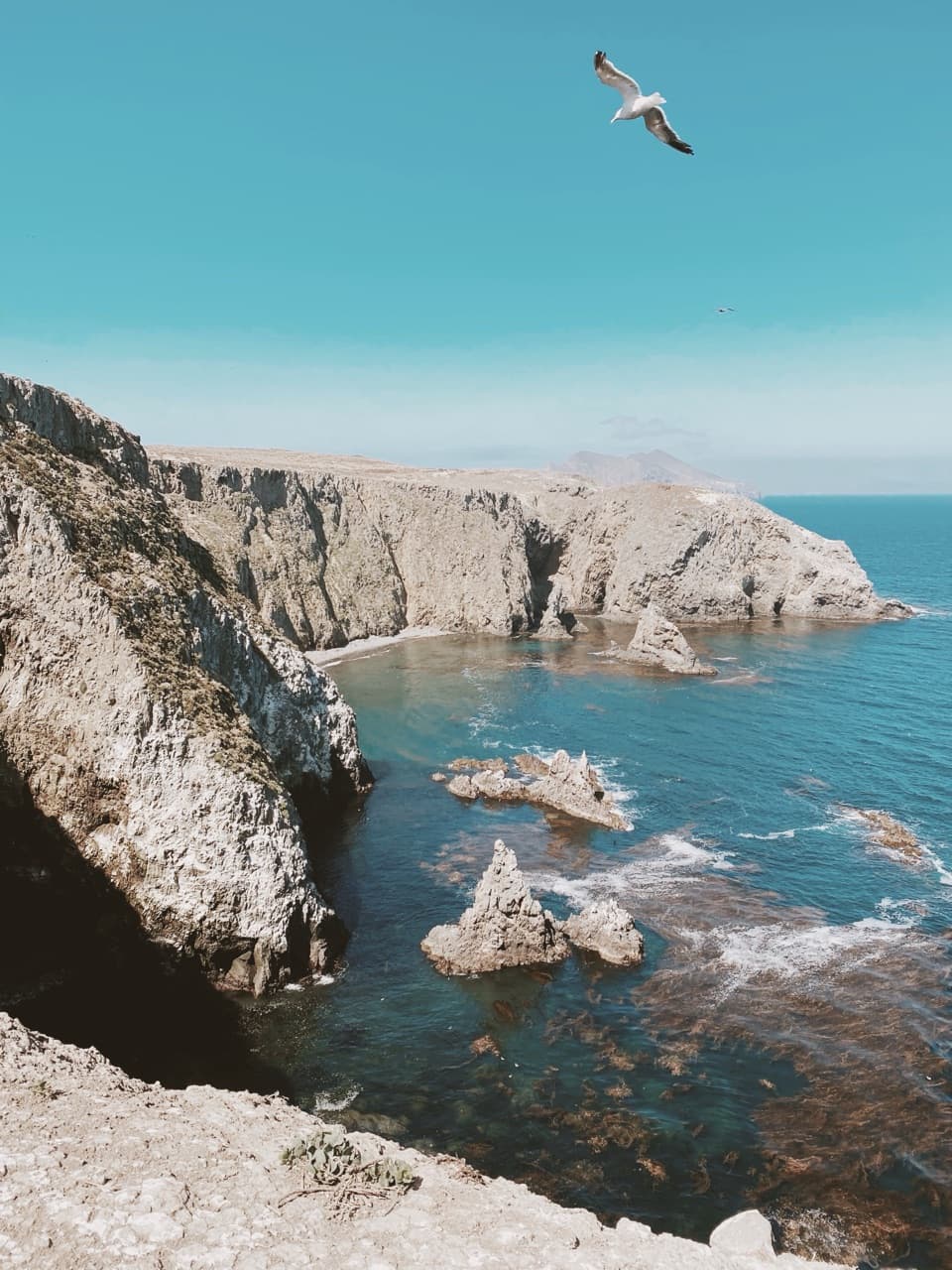 EasyCathedral Cove Hike0.6 mi · 30 min · At the trailheadA short walk above sea caves, kelp and seabird cliffs.
 EasyInspiration Point Hike1.5 mi · 1 hr · At the trailheadA short walk to Anacapa’s signature view across the strait.
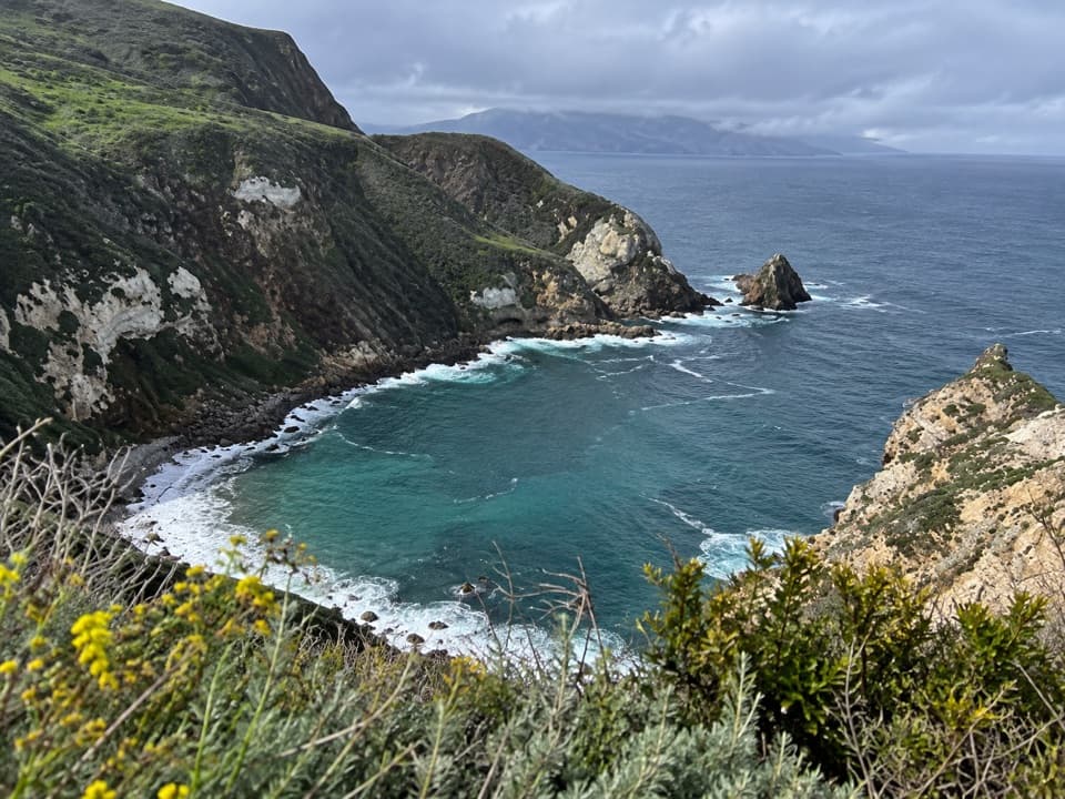 EasyPinniped Point Hike0.4 mi · 30 min · At the trailheadA short island walk to lighthouse and sea lion rookery views.
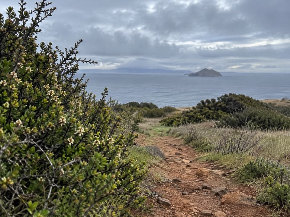 ChallengingYellowbanks Hike3 mi · 2.5 hr · 10.2 mi awayA strenuous climb to a remote island anchorage overlook.
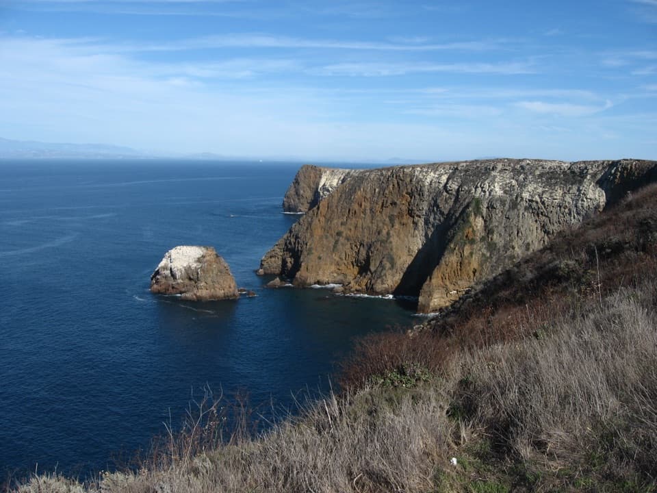 ModeratePotato Harbor Overlook Hike5 mi · 3.5 hr · 11.3 mi awayA steep climb earns you a cove framed by tall sea cliffs.
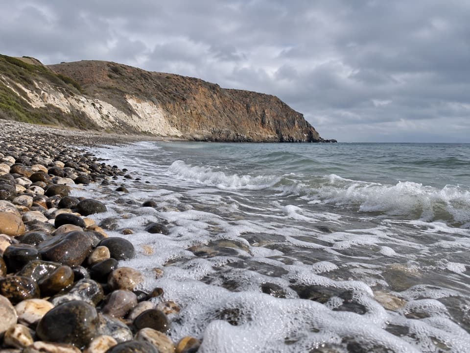 ChallengingSmuggler’s Cove Hike7.5 mi · 5 hr · 11.3 mi awayA strenuous island road walk to a cobble beach and olive grove.
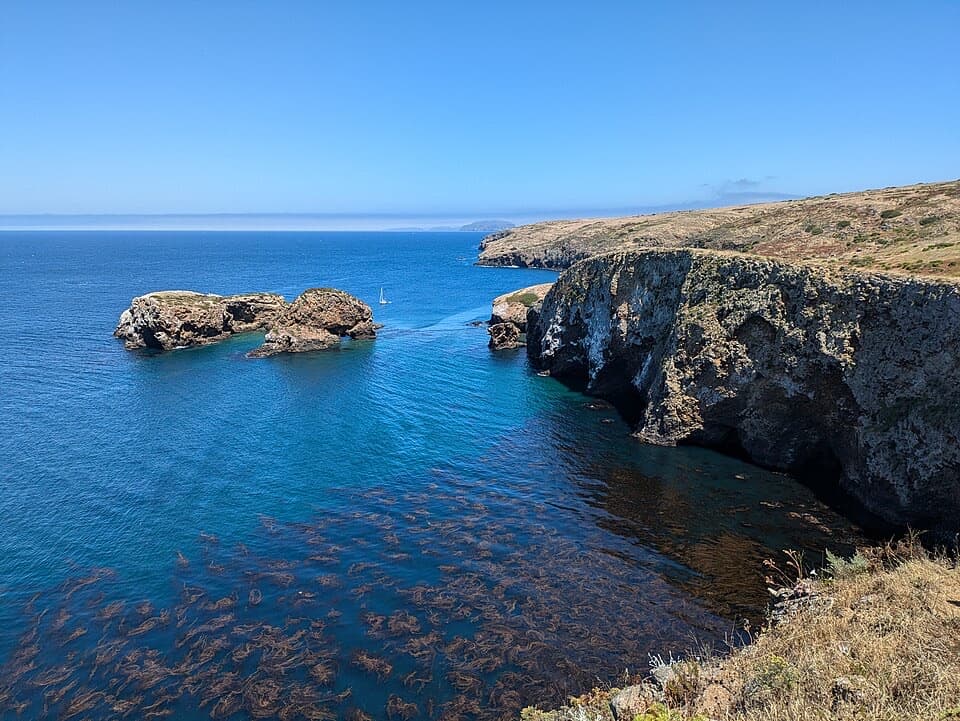 ModerateScorpion Bluffs Overlook Hike1.5 mi · 1.3 hr · 11.3 mi awayA short climb to Scorpion Rock and the eastern island bluffs.
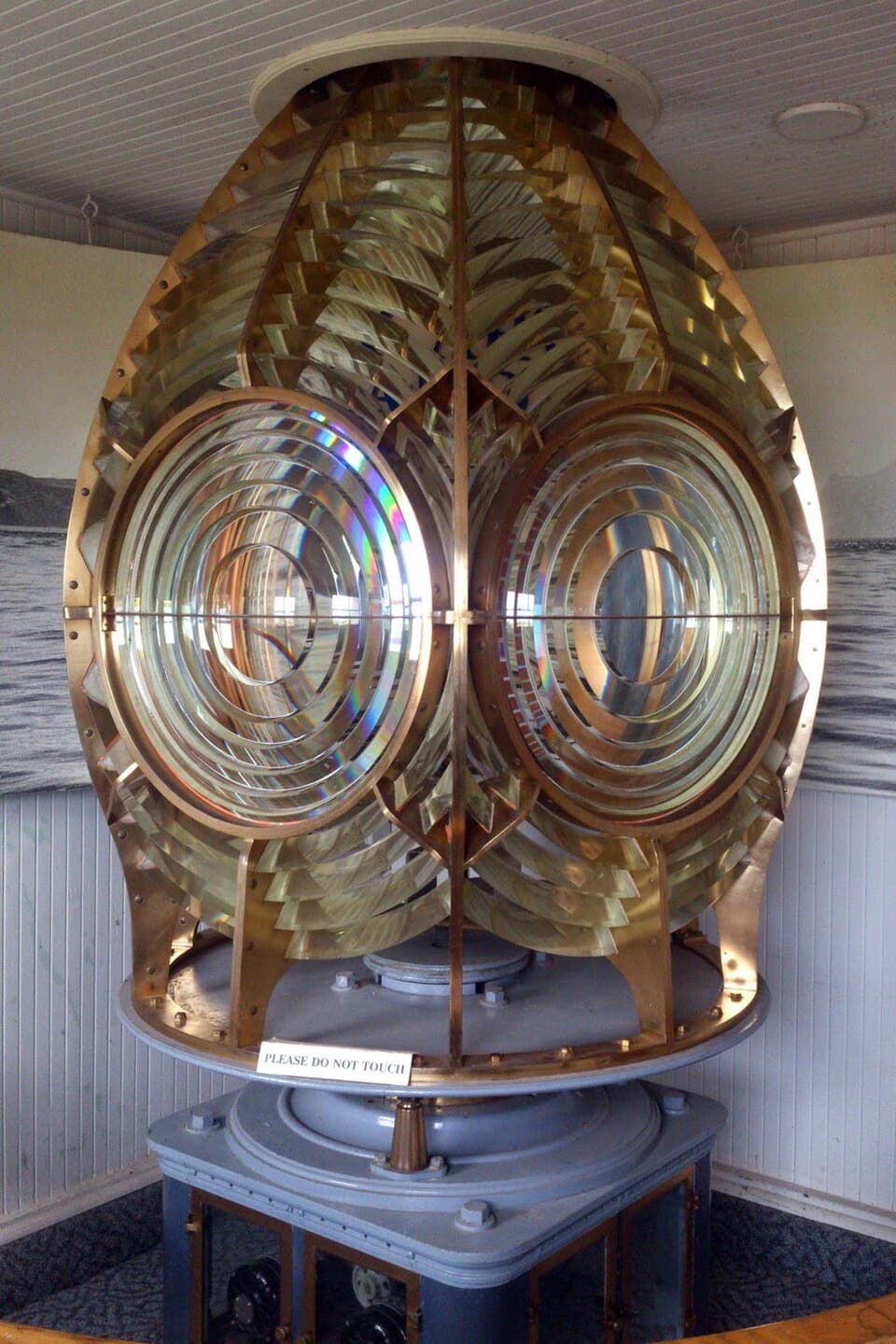 Visitor center · At the trailheadAnacapa Island Visitor CenterSee the original lighthouse lens inside Anacapa's old Coast Guard station.
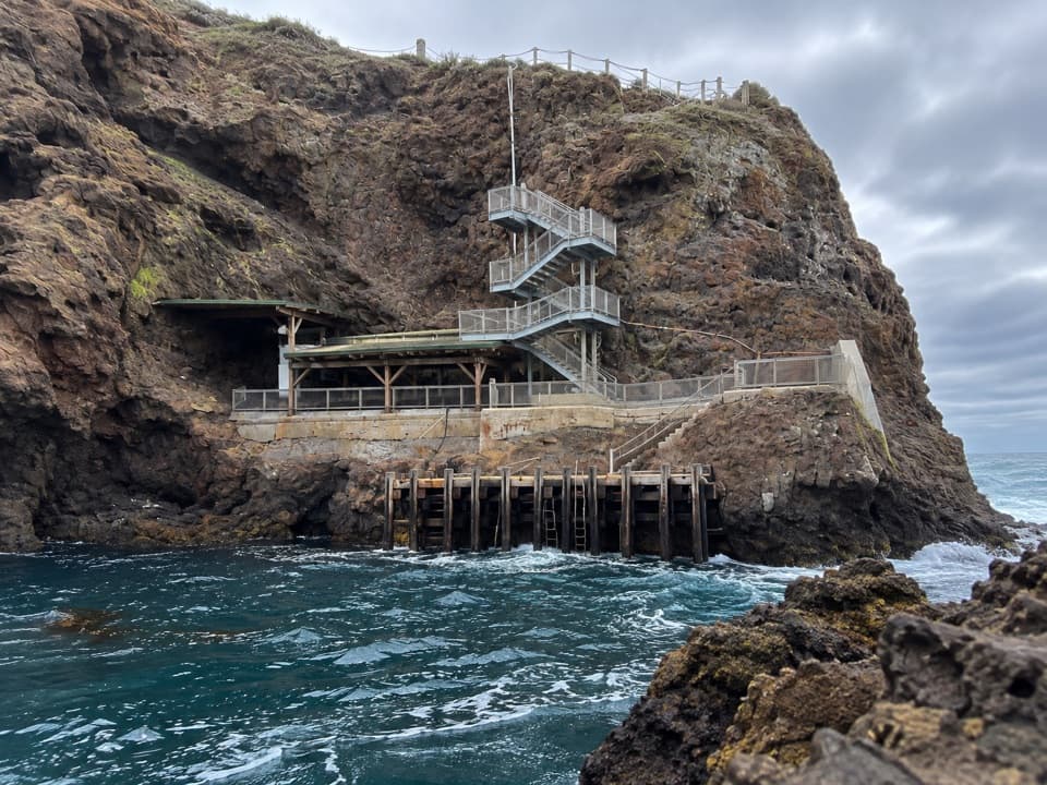 Sight · 0.1 mi awayAnacapa Landing CoveA cliff-built dock makes arrival the first big climb.
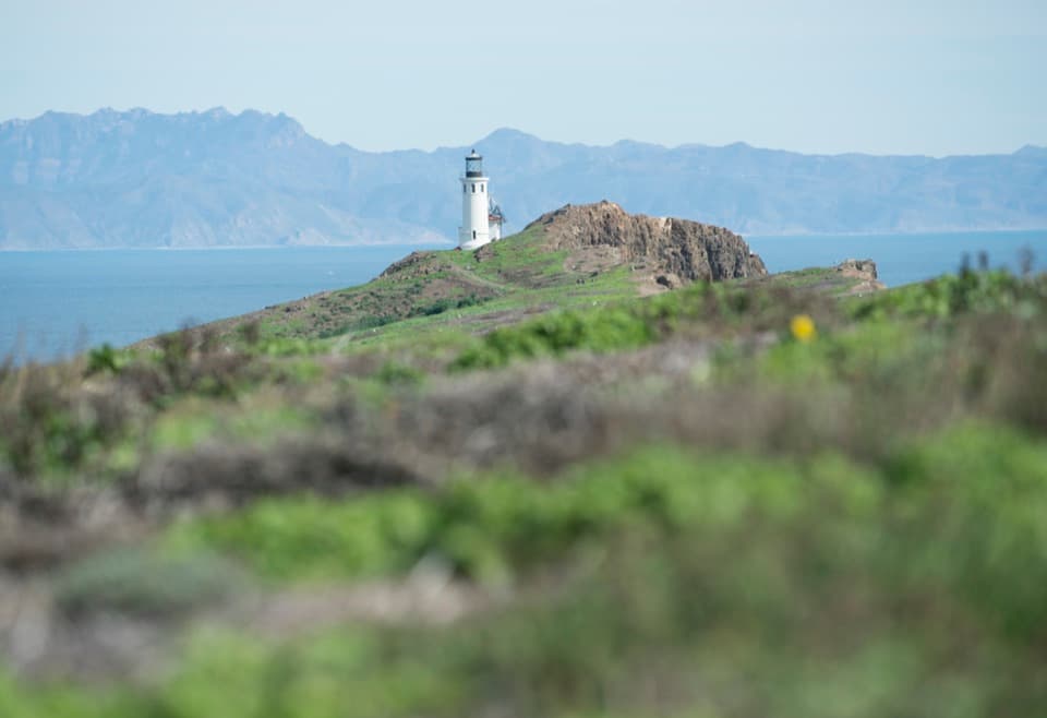 Sight · 0.2 mi awayAnacapa Island LighthouseA working lighthouse above East Anacapa, reached by boat and stairs.
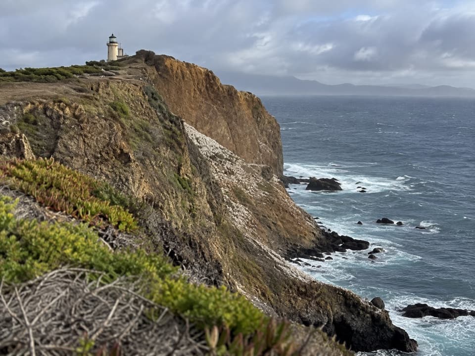 Sight · 0.2 mi awayPinniped PointLook down for sea lions and across to Anacapa's old lighthouse.
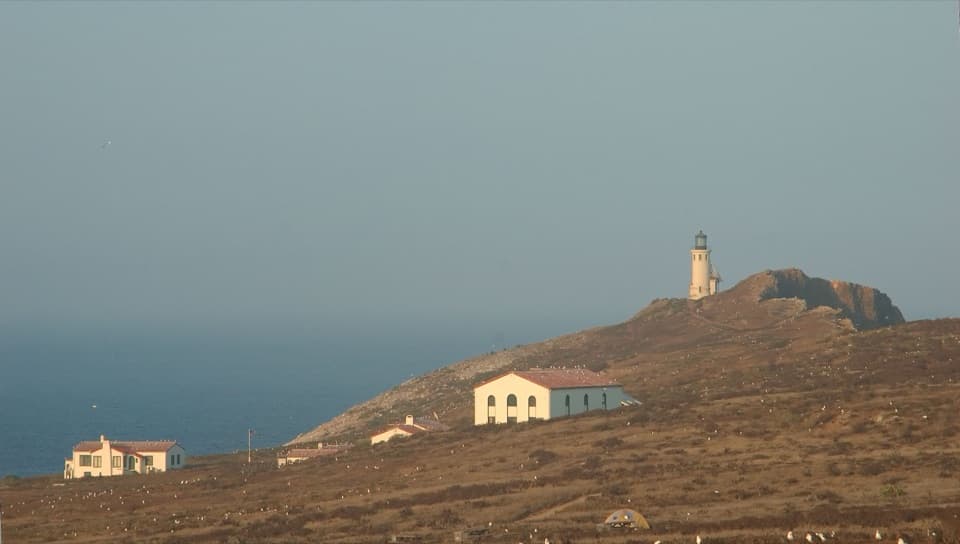 Campground · 0.3 mi awayAnacapa Island CampgroundSeven island tent sites, reached by boat, stairs and a half-mile carry.
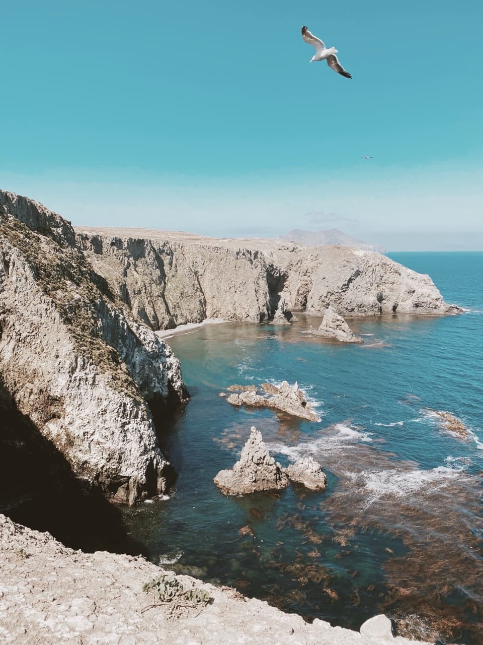 Sight · 0.3 mi awayCathedral Cove OverlookA short walk to sea stacks, kelp beds and possible sea lions
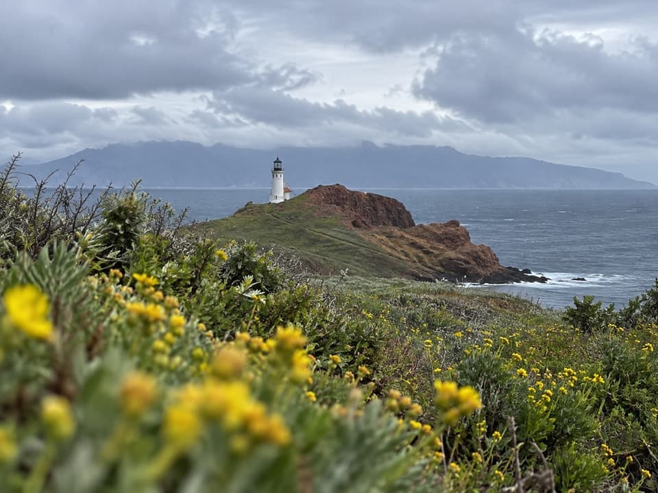 Sight · 0.3 mi awayEastern Terrace OverlookA brief island stop for the lighthouse view and sheep-ranching story.
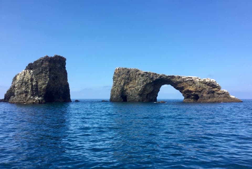 Sight · 0.4 mi awayArch RockA 40-foot sea arch and park symbol, reached only from the water.
Parkwolf’s Channel Islands ranking

The audio tour guide for the drive, plus offline maps, trails, and wildlife heatmaps for when the signal drops.