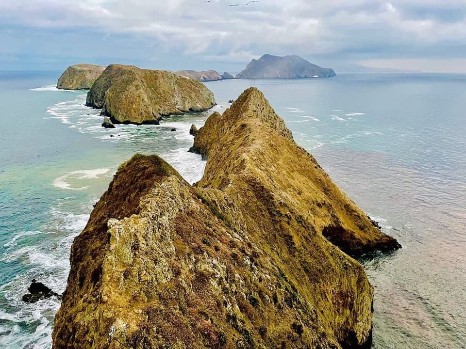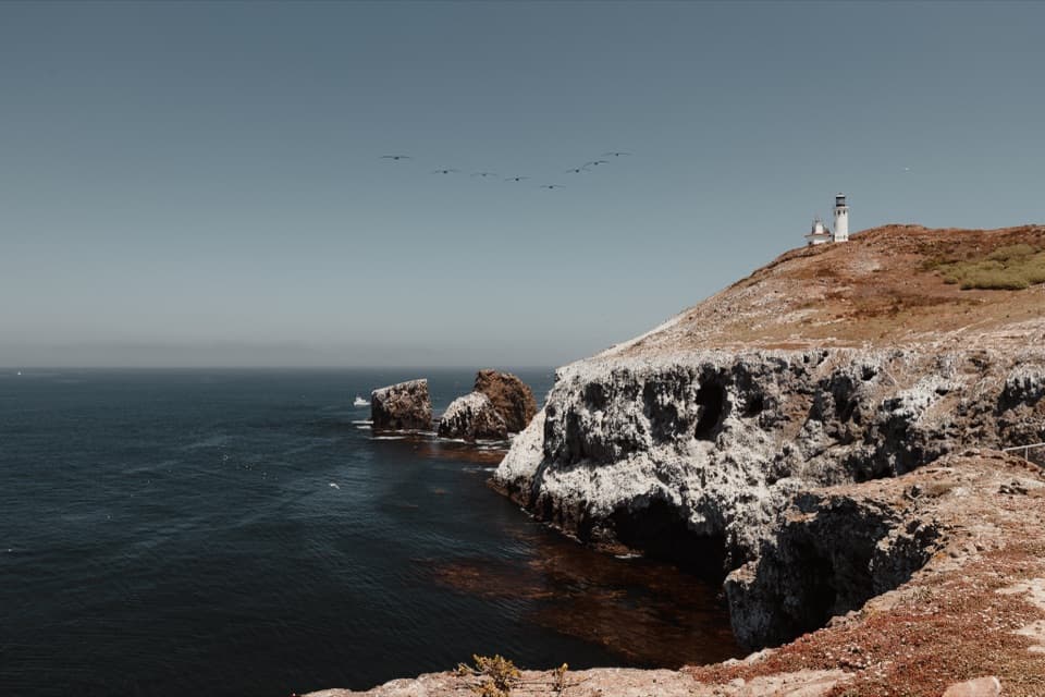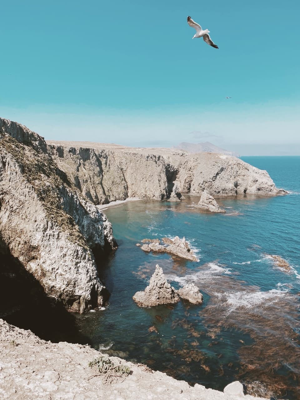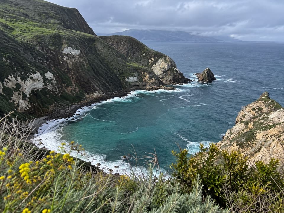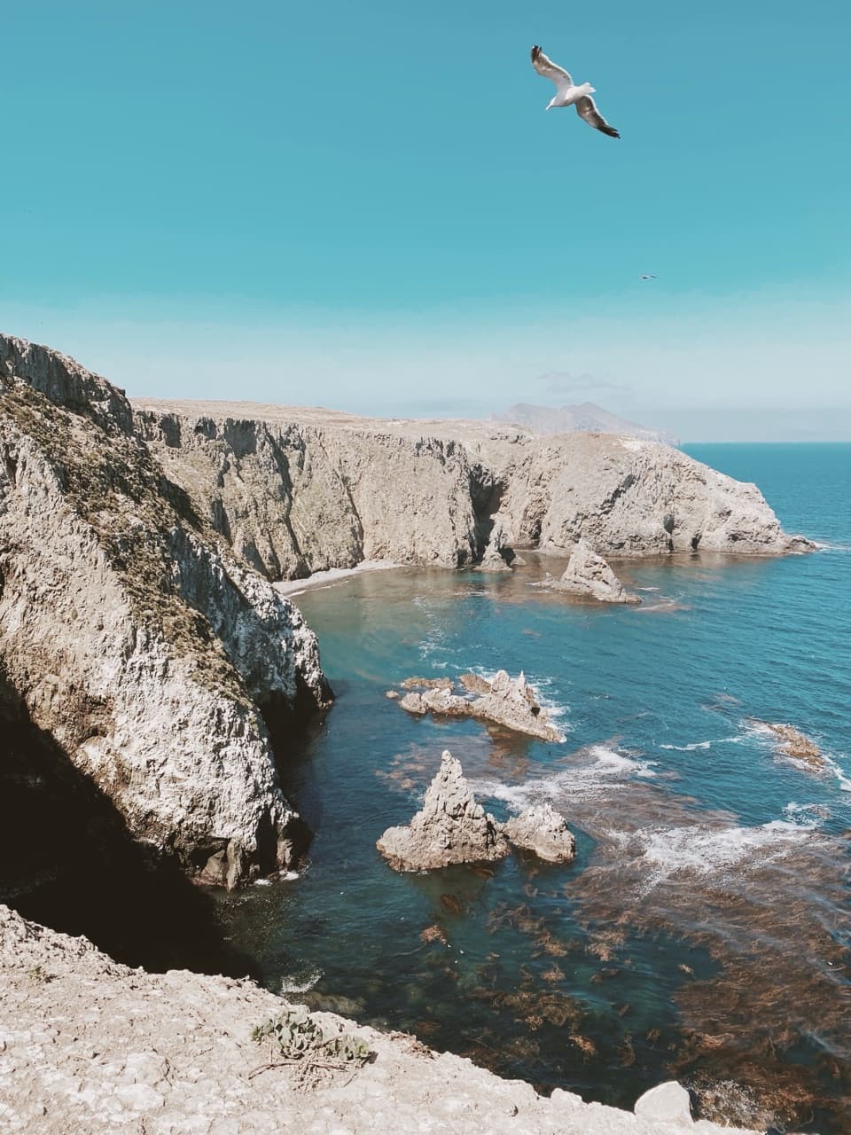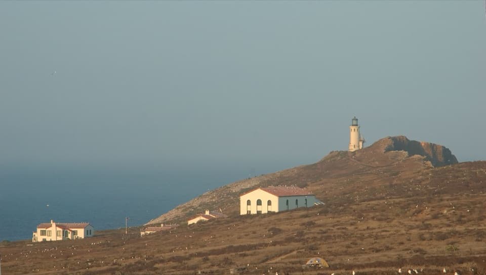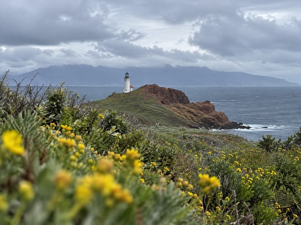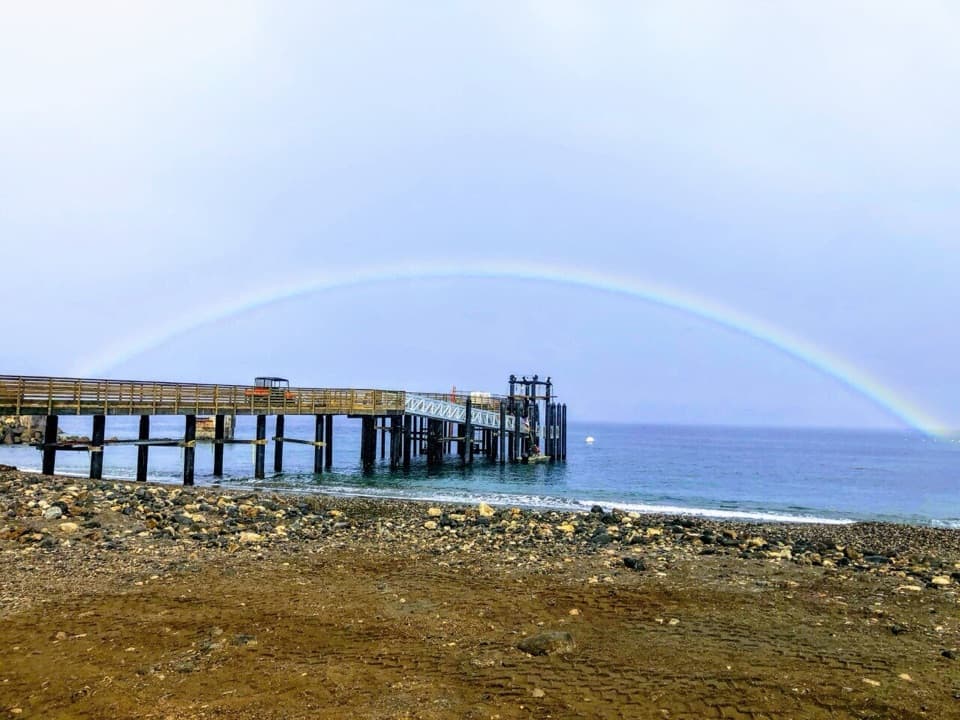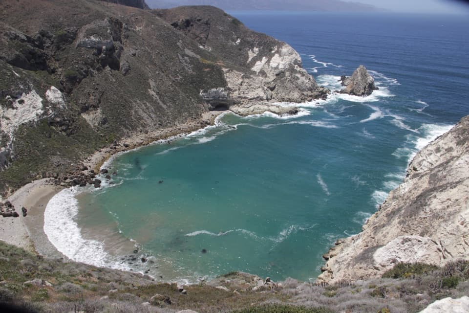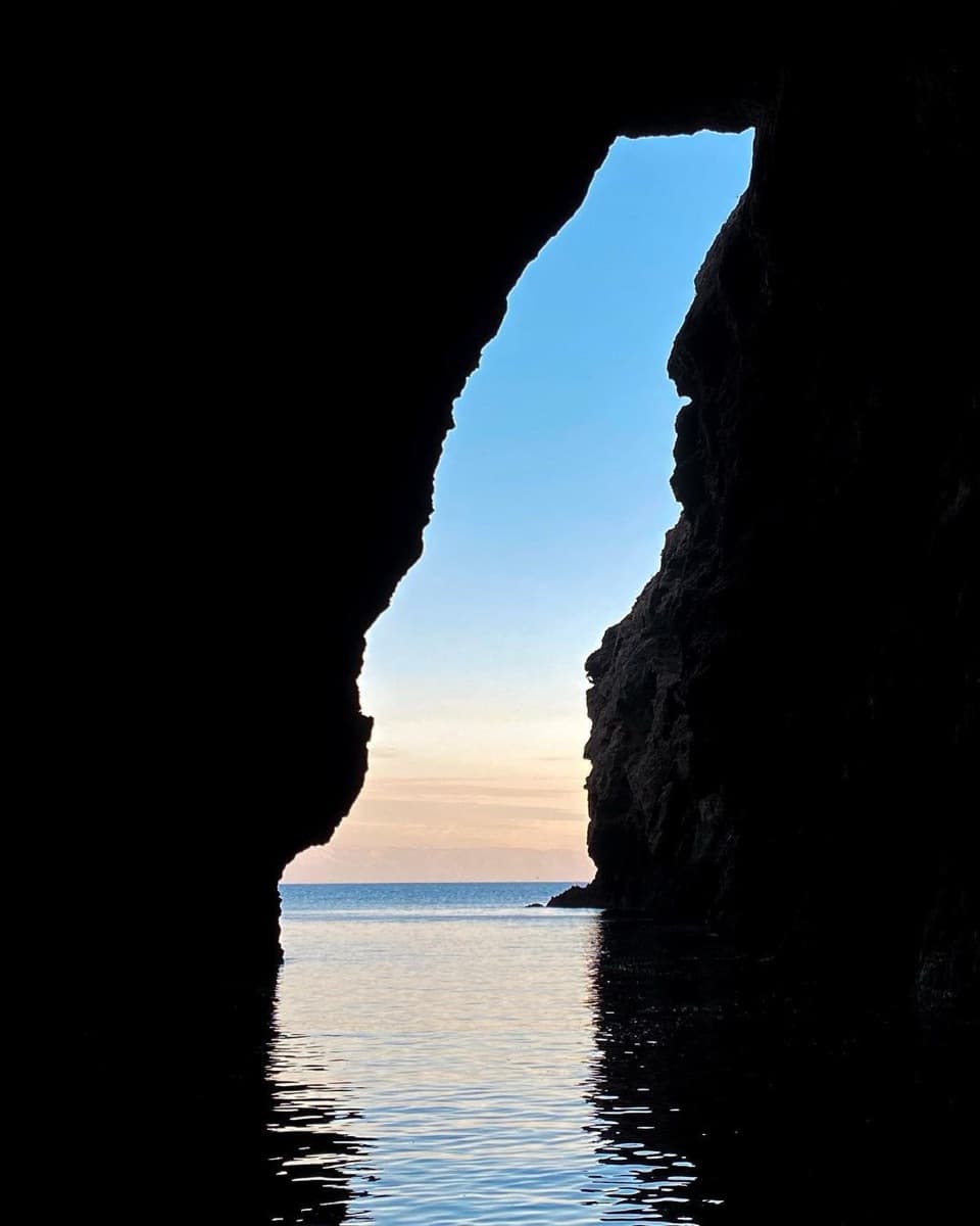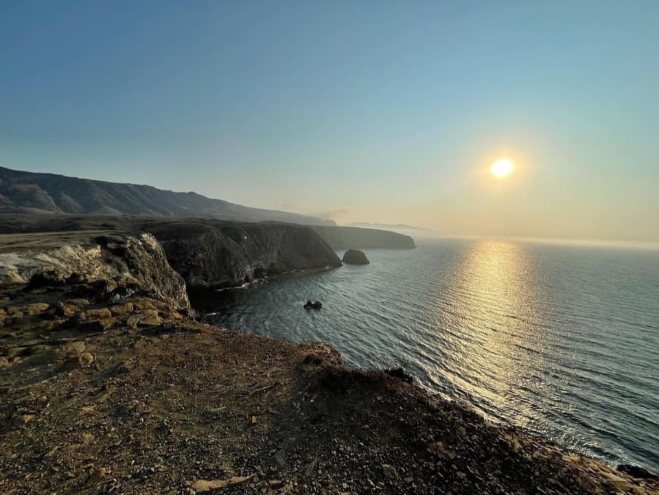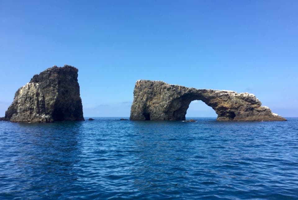
Arch Rock in Channel Islands National Park

#3 of 62 sights in Channel Islands

Sight · Channel Islands National Park

Arch Rock

A 40-foot sea arch and park symbol, reached only from the water.

Photo: Craig Baker, CC BY-SA 4.0, via Wikimedia Commons

Type
Sight
Nearest trail
0.4 mi

Overview

About Arch Rock

Why stop

  • A striking offshore landmark with a memorable Chumash name.
  • An 1854 engraving gives the familiar silhouette an older story.

Heads up

  • Seeing it means arranging a boat trip or kayaking; there is no walk-up route.

Map

Where it is

Loading the Channel Islands map
Full map
SightArch Rock34.01708, -119.35670
Keep this map with you offline in the Parkwolf app

Plan your stop

Before you go

2 active Channel Islands alerts

  • ClosureSanta Rosa Island wildfire-recovery closuresBurned areas on Santa Rosa Island remain closed during wildfire recovery, and Southeast Quadrant backcountry beach camping is closed for the remainder of the 2026 recreation season.Official details
  • InfoSanta Barbara Island dock closed; landings restrictedThe Santa Barbara Island dock is closed; land only on the adjacent rocky ledge.Official details

Channel Islands alerts
A park ranger sits on a dash-mounted phone, talking, as Parkwolf’s Tour Guide plays “Army Cutworm Moths: A Grizzly Bear Buffet” on Grand Loop Road below Dunraven Pass in Yellowstone
Parkwolf Tour GuideThe highest, rockiest slopes around here are a summer buffet for grizzly bears.

Channel Islands Tour Guide

Your drive to Arch Rock, narrated.

Parkwolf is a GPS audio tour guide for Channel Islands National Park. As you drive, it chimes in with what’s ahead: hidden gems, upcoming stops, history, geology, and wildlife, right through your car’s speakers.

See the Channel Islands audio tour
  • 16 audio storiesacross Channel Islands’s roads, triggered by GPS as you drive
  • Wildlife heatmapsfor Island Fox, Humpback Whale, Blue Whale, and 13 more
  • Works offlinemaps, 48 trails, 75 places, and audio download before you lose signal
  • CarPlay readysimple controls built for the drive
★★★★★
“Fantastic app with many points of information… It’s great to just turn on while you’re driving and it gives you an audio tour of the national Park. We love it!!!!”
JMJamesApp Store review
Download Parkwolf on the App StoreGet Parkwolf on Google Play

4.7 from 8,600+ ratings

Guide

More about Arch Rock

The landmark off East AnacapaArch Rock is a roughly 40-foot natural sea arch off the eastern tip of East Anacapa, and one of…

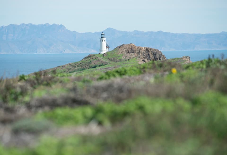
Arch Rock is a roughly 40-foot natural sea arch off the eastern tip of East Anacapa, and one of the defining silhouettes of Channel Islands National Park. It sits offshore, so this is a boat- or kayak-viewed landmark, not a walk from the island’s landing.

Plan the water approachA boat crossing from Ventura to Anacapa takes about an hour.

A boat crossing from Ventura to Anacapa takes about an hour. Kayakers can paddle east from East Anacapa toward Arch Rock, sea caves, and other arches. If this is the sight you came for, confirm that your boat trip passes the rock; landing on East Anacapa by itself does not take you to it.

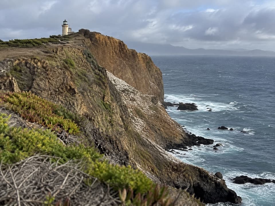
A shape carved by surfWaves have cut through Anacapa’s volcanic cliffs, leaving sea caves, stacks, and natural…

Waves have cut through Anacapa’s volcanic cliffs, leaving sea caves, stacks, and natural bridges. From the water, the detached tower beside the arch makes its scale easier to read. For a photo, keep some water below the opening and a stretch of Anacapa behind it; the shoreline shows that this is an offshore formation rather than a hole in the island.

A Chumash nameThe Chumash name pasawapʰ hoti means “house of the cormorant”; another recorded name is…

The Chumash name pasawapʰ hoti means “house of the cormorant”; another recorded name is ’aɬwaštimot̓o. The lower-case spelling is deliberate because English capitalization does not fit Traditional Chumash languages. Archaeological evidence points to Chumash visits to Anacapa as far back as 5,000 years, a history that belongs to the island as a whole.

In an 1854 engravingArtist James Whistler illustrated Arch Rock in an 1854 U.S. Coast Survey engraving.

Artist James Whistler illustrated Arch Rock in an 1854 U.S. Coast Survey engraving. It is an unusual way to connect this familiar island silhouette to the early charting of the Santa Barbara Channel.

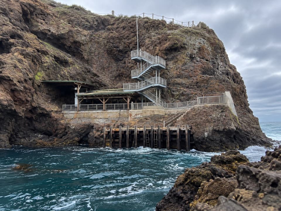
If you step ashoreLanding on East Anacapa means climbing a steel-rung ladder from the boat to the dock, then 157…

Landing on East Anacapa means climbing a steel-rung ladder from the boat to the dock, then 157 stairs to the island top. The island’s roughly two-mile trail system is mostly level after that climb, but the arch remains offshore. There is no food, drinking water, or other service on the island, so bring what you need. From April through mid-August, nesting gulls can make a landing noisy and unpleasant; a boat-only view avoids the stair climb and the rookery conditions on shore.

Wildlife

Wildlife in Channel Islands

All Channel Islands wildlife maps

Sighting maps show where each species has been reported across Channel Islands. Wildlife moves, so no sighting is guaranteed.

Keep exploring

Near Arch Rock

See it all on the map

Trails nearby

More stops nearby

Parkwolf’s Channel Islands ranking

Top sights in Channel Islands

All 75 places
  1. 1Inspiration PointSight
  2. 2Scorpion Anchorage and BeachBeach
  3. 4Potato Harbor OverlookSight
  4. 5Painted CaveSight
  5. 6Cavern PointSight
  6. 7Point BennettSight

Take Parkwolf to Channel Islands.

The audio tour guide for the drive, plus offline maps, trails, and wildlife heatmaps for when the signal drops.

4.7 from 8,600+ ratings

Download Parkwolf on the App StoreGet Parkwolf on Google Play