Scorpion Anchorage and Beach in Channel Islands National Park

#2 of 62 sights in Channel Islands

Beach · Channel Islands National Park

Scorpion Anchorage and Beach

A mix of beach, hiking and kayaking unfolds from the pier.

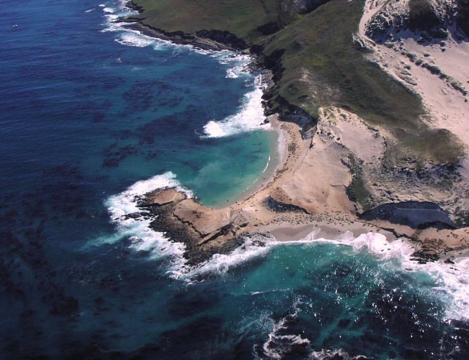
Photo: NPS, Public domain, via Wikimedia Commons

Type
Beach
Nearest trail
Right here
  • Restrooms
  • Picnic tables
  • Trailhead
  • Scenic viewpoint

Overview

About Scorpion Anchorage and Beach

Why stop

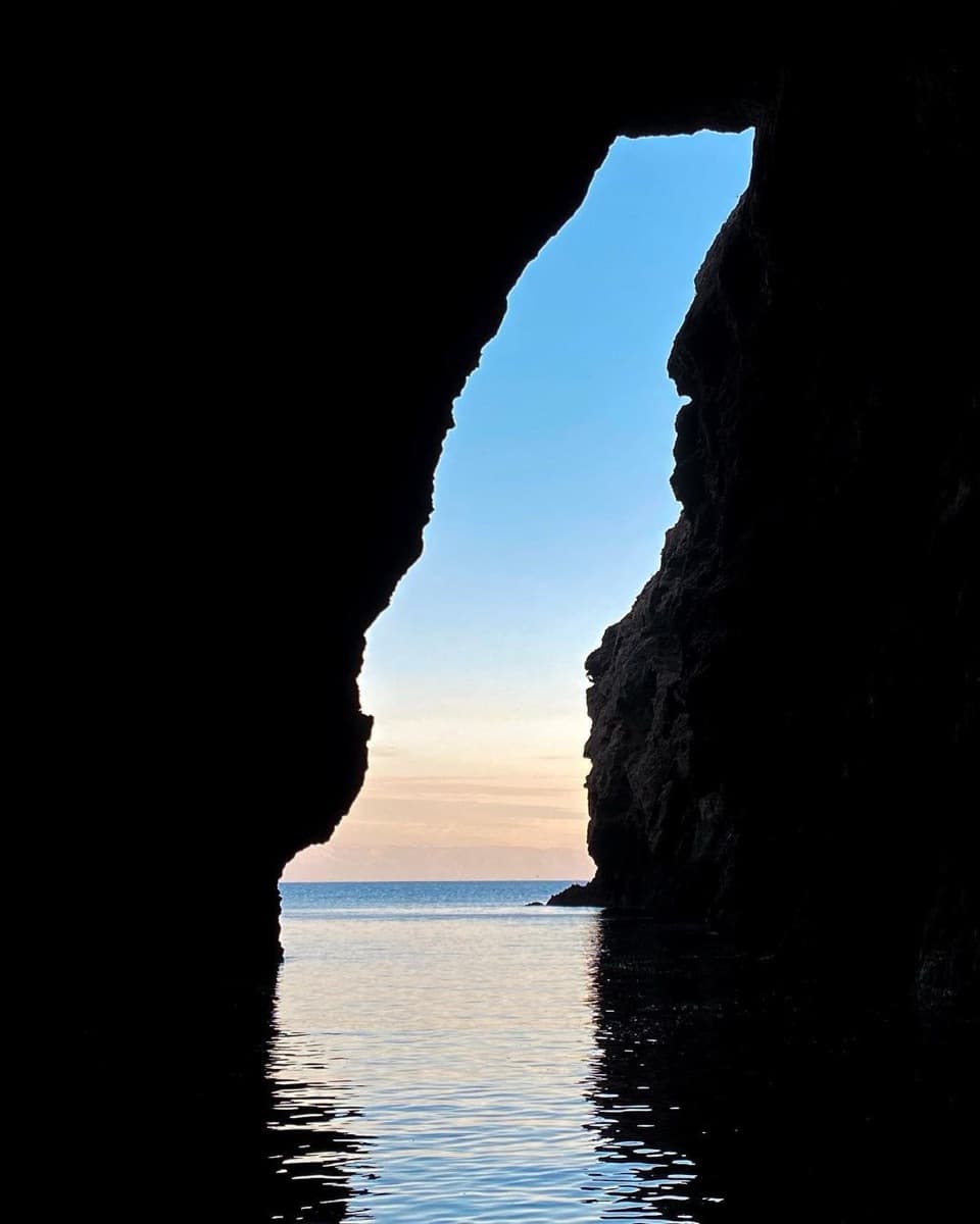
  • Sea caves, coastal trails and the beach give the day several shapes.

Heads up

  • Boat timetables limit how long you have ashore.
  • There is no food service at the landing; bring your own supplies.

Map

Where it is

Loading the Channel Islands map
Full map
BeachScorpion Anchorage and Beach34.04936, -119.55551
Keep this map with you offline in the Parkwolf app

Plan your stop

Before you go

2 active Channel Islands alerts

  • ClosureSanta Rosa Island wildfire-recovery closuresBurned areas on Santa Rosa Island remain closed during wildfire recovery, and Southeast Quadrant backcountry beach camping is closed for the remainder of the 2026 recreation season.Official details
  • InfoSanta Barbara Island dock closed; landings restrictedThe Santa Barbara Island dock is closed; land only on the adjacent rocky ledge.Official details

Channel Islands alerts
A park ranger sits on a dash-mounted phone, talking, as Parkwolf’s Tour Guide plays “Army Cutworm Moths: A Grizzly Bear Buffet” on Grand Loop Road below Dunraven Pass in Yellowstone
Parkwolf Tour GuideThe highest, rockiest slopes around here are a summer buffet for grizzly bears.

Channel Islands Tour Guide

Your drive to Scorpion Anchorage and Beach, narrated.

Parkwolf is a GPS audio tour guide for Channel Islands National Park. As you drive, it chimes in with what’s ahead: hidden gems, upcoming stops, history, geology, and wildlife, right through your car’s speakers.

See the Channel Islands audio tour
  • 16 audio storiesacross Channel Islands’s roads, triggered by GPS as you drive
  • Wildlife heatmapsfor Island Fox, Humpback Whale, Blue Whale, and 13 more
  • Works offlinemaps, 48 trails, 75 places, and audio download before you lose signal
  • CarPlay readysimple controls built for the drive
★★★★★
“Fantastic app with many points of information… It’s great to just turn on while you’re driving and it gives you an audio tour of the national Park. We love it!!!!”
JMJamesApp Store review
Download Parkwolf on the App StoreGet Parkwolf on Google Play

4.7 from 8,600+ ratings

Guide

More about Scorpion Anchorage and Beach

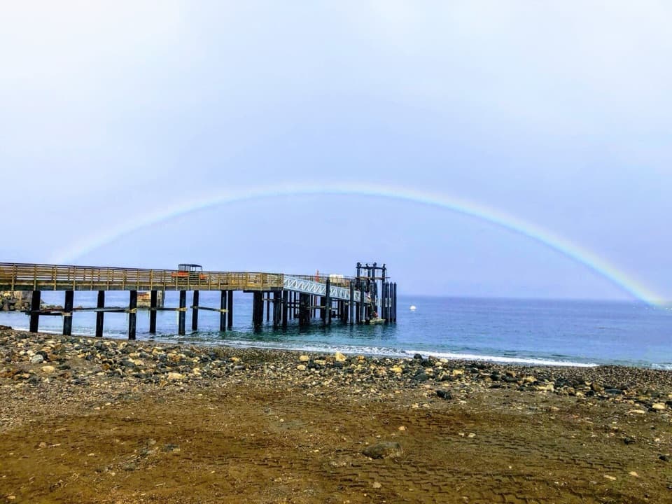
The east end of the island starts hereScorpion Anchorage is a small harbor and pier on the northeast side of Santa Cruz Island,…

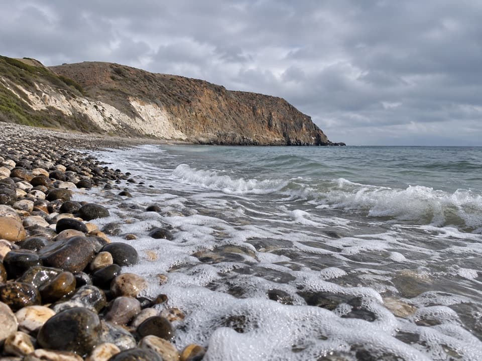
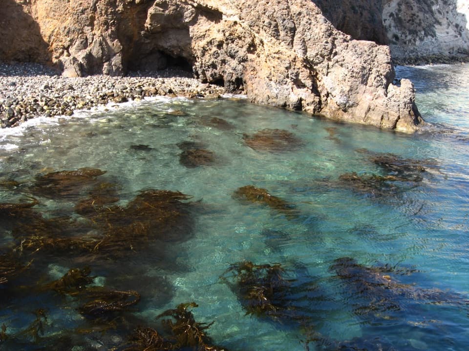
Scorpion Anchorage is a small harbor and pier on the northeast side of Santa Cruz Island, beside a beach of sand and cobble. It is a principal visitor landing and a versatile place to spend a day: start with the shore, hike inland, or set out by kayak. The boat from Ventura takes a little over an hour; plan around its return time, which sets how long you have ashore.

Stay on the beach or head uphillThe beach gives you access to swimming and snorkeling, and kayakers launch from the anchorage…

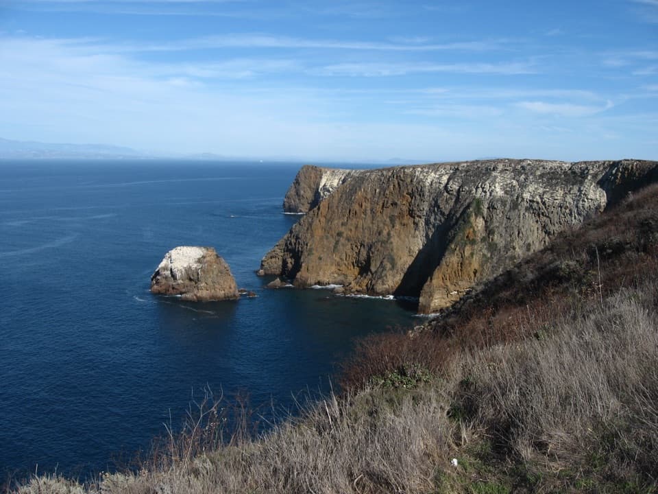
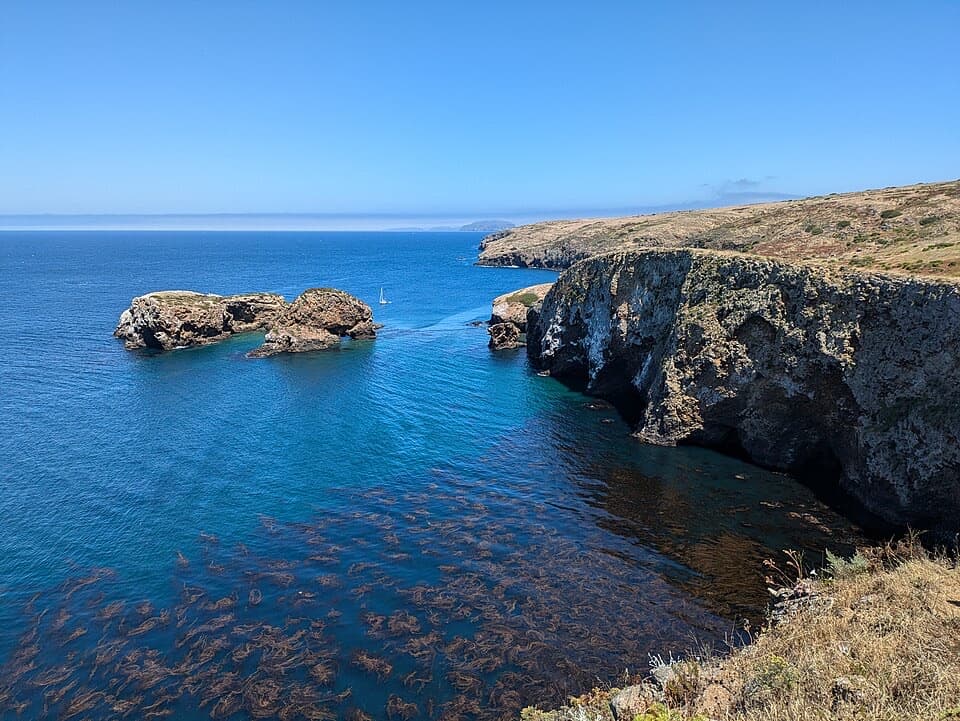
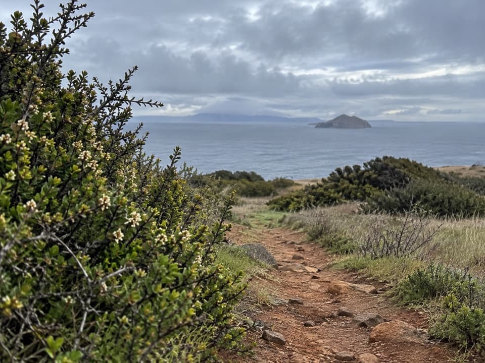
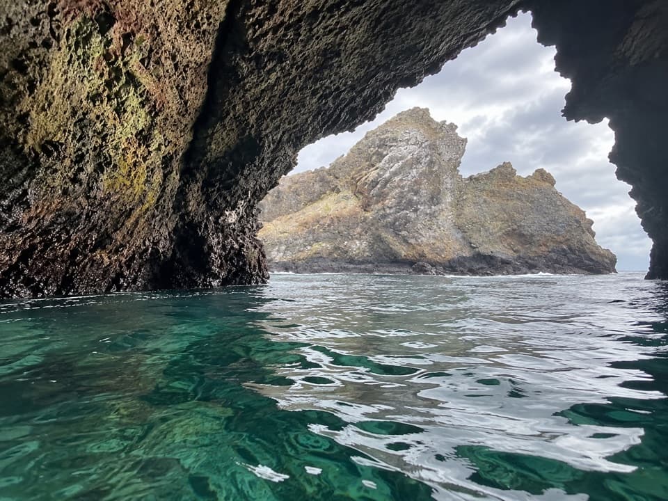
The beach gives you access to swimming and snorkeling, and kayakers launch from the anchorage toward nearby sea caves. Trails leave the landing toward Cavern Point and Potato Harbor. Potato Harbor means an uphill climb and a longer outing than a beach stop, so choose your route before leaving the pier.

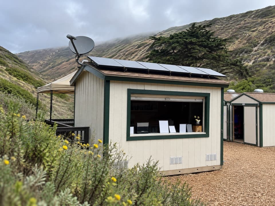
Pack your own food and waterVault toilets and picnic tables are near the beach.

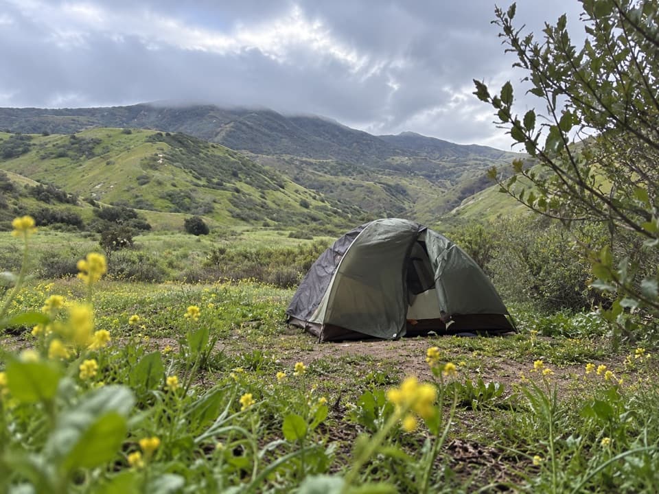
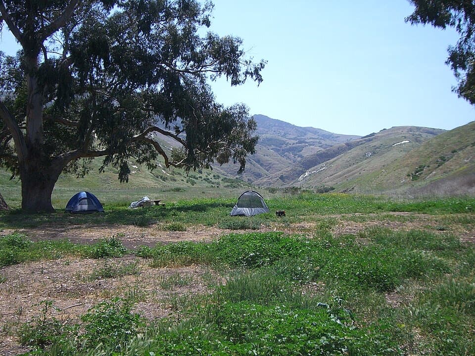
Vault toilets and picnic tables are near the beach. There is no store or food service at the landing, so bring the food and drinking water you need. Potable water is described for the campground about a mile inland; treat that as a separate facility, not a refill at the beach or pier.

Frame the pier and shore togetherFor a photo that captures the landing, frame the pier across the water with cobbles in the…

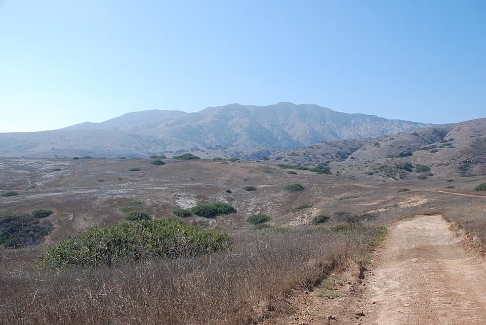
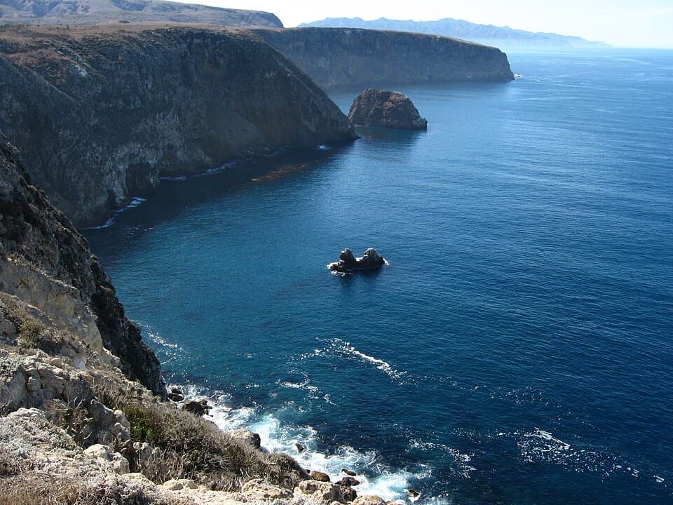
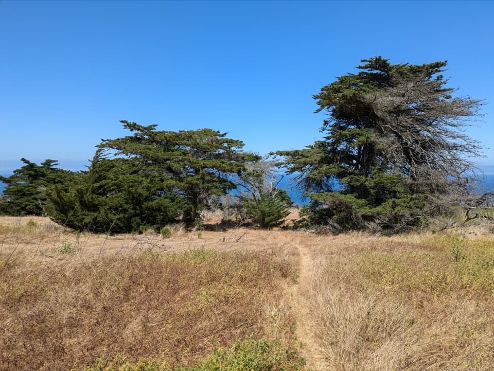
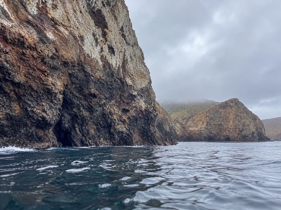
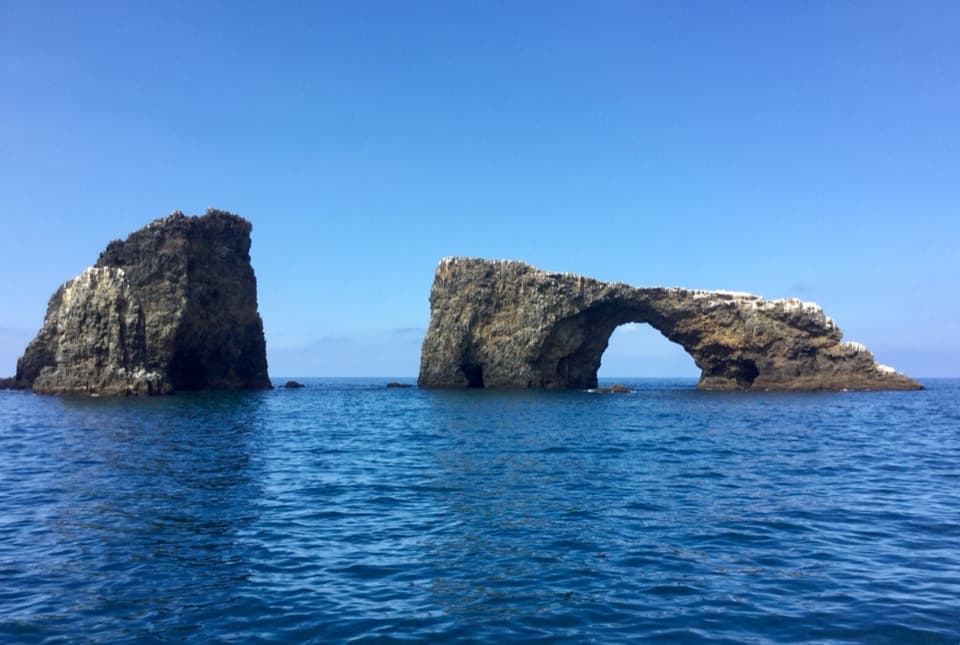
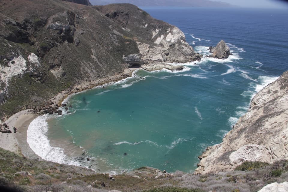
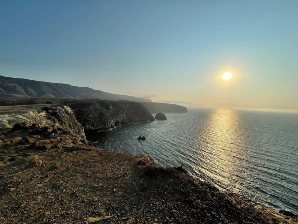
For a photo that captures the landing, frame the pier across the water with cobbles in the foreground. From higher ground, the harbor sits below dry slopes and open ocean; sea caves and coastal cliffs come into view as you move along the shore or out by kayak.

A long island storyThe name's origin is uncertain; it may refer to the shape of the valley or to small scorpions…

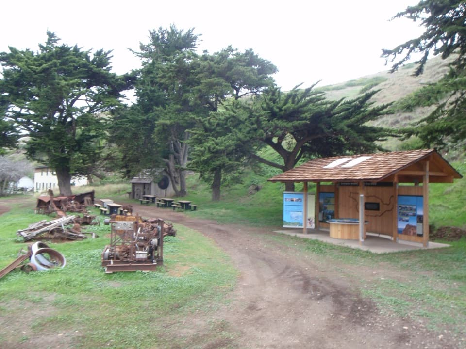
The name's origin is uncertain; it may refer to the shape of the valley or to small scorpions found there. Santa Cruz Island has evidence of Chumash presence going back more than 13,000 years. Later ranching left buildings at Scorpion Ranch, a separate inland stop. The island scrub-jay and Santa Cruz Island fox are island endemics; wildlife sightings are possible, never guaranteed.

Wildlife

Wildlife in Channel Islands

All Channel Islands wildlife maps

Sighting maps show where each species has been reported across Channel Islands. Wildlife moves, so no sighting is guaranteed.

Keep exploring

Near Scorpion Anchorage and Beach

See it all on the map

Trails nearby

More stops nearby

Parkwolf’s Channel Islands ranking

Top sights in Channel Islands

All 75 places
  1. 1Inspiration PointSight
  2. 3Arch RockSight
  3. 4Potato Harbor OverlookSight
  4. 5Painted CaveSight
  5. 6Cavern PointSight
  6. 7Point BennettSight

Take Parkwolf to Channel Islands.

The audio tour guide for the drive, plus offline maps, trails, and wildlife heatmaps for when the signal drops.

4.7 from 8,600+ ratings

Download Parkwolf on the App StoreGet Parkwolf on Google Play