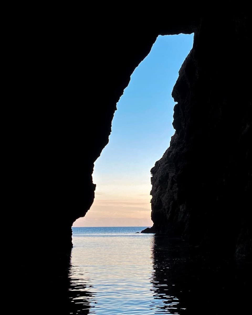
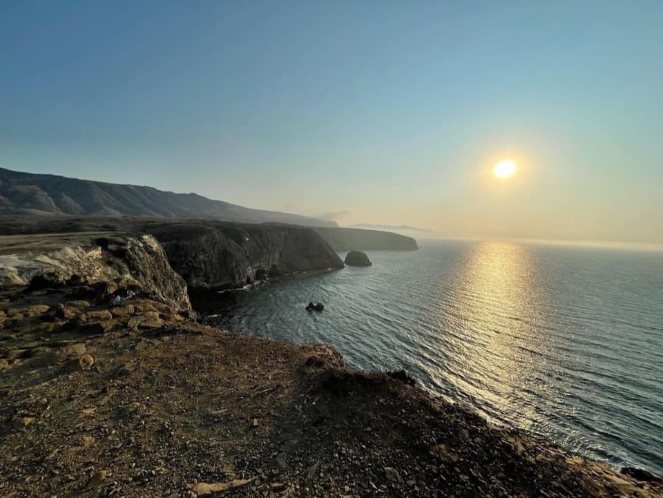
Scorpion Rock Overlook in Channel Islands National Park

Sight · Channel Islands National Park

Scorpion Rock Overlook

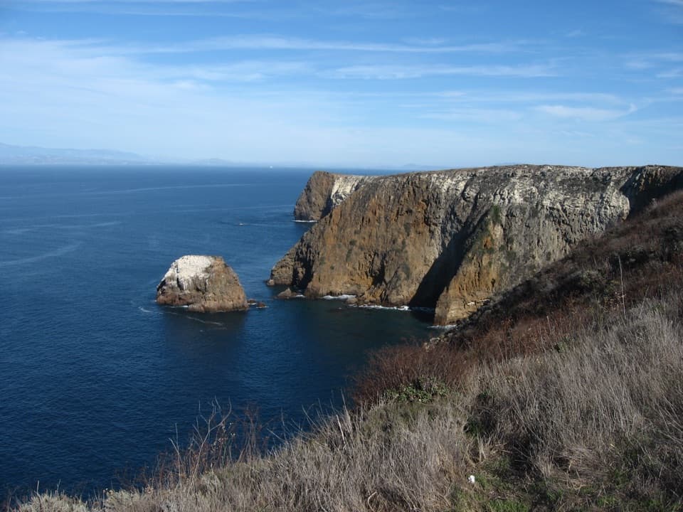
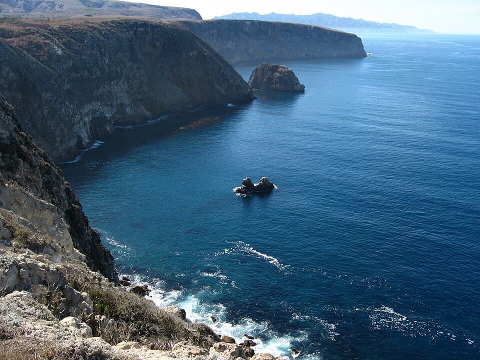
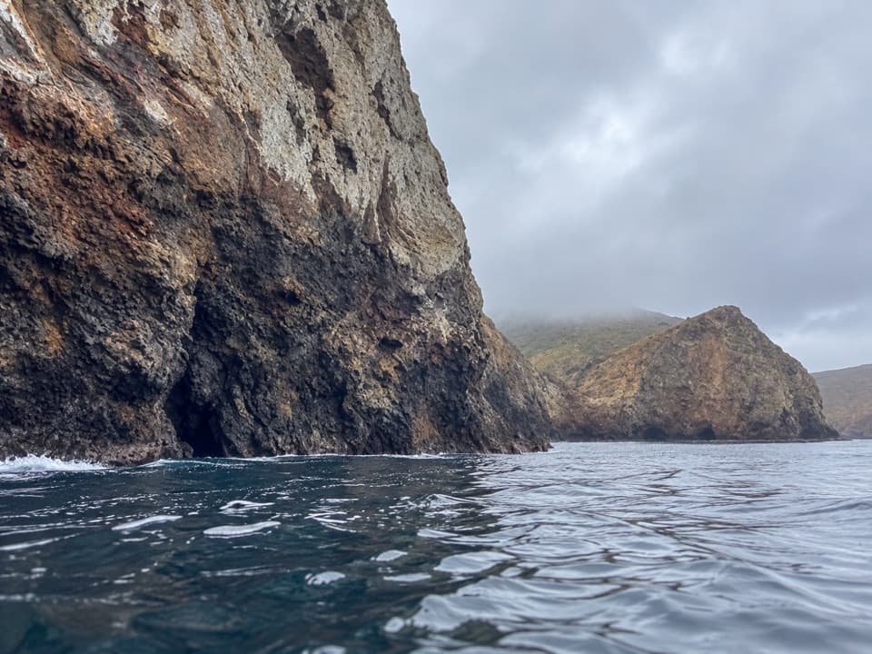
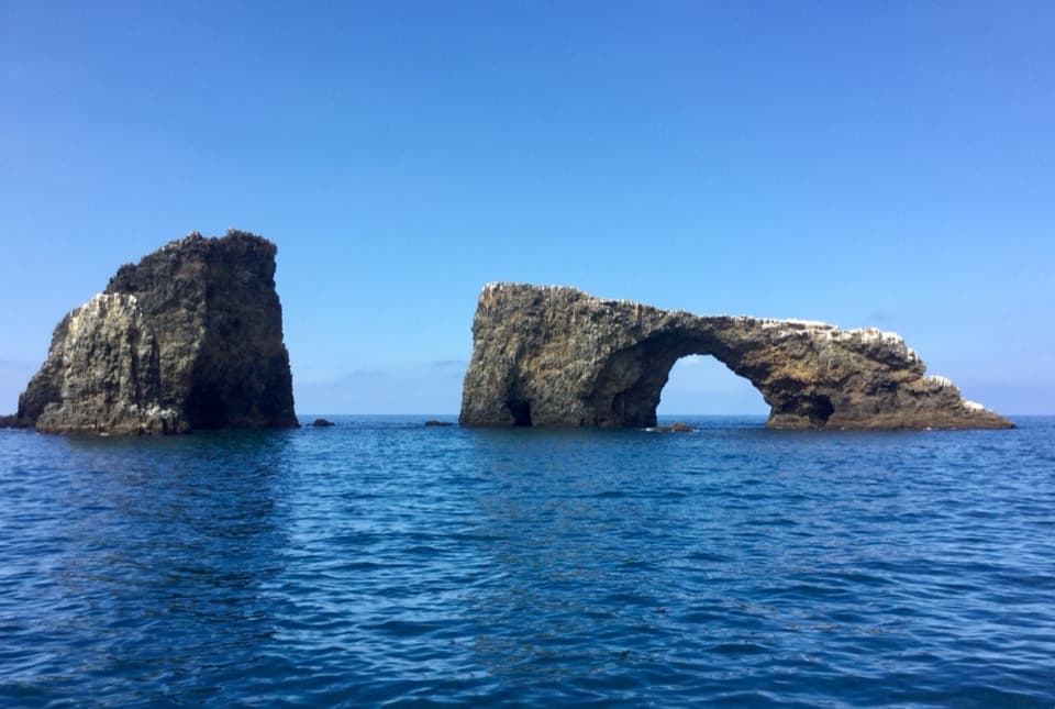
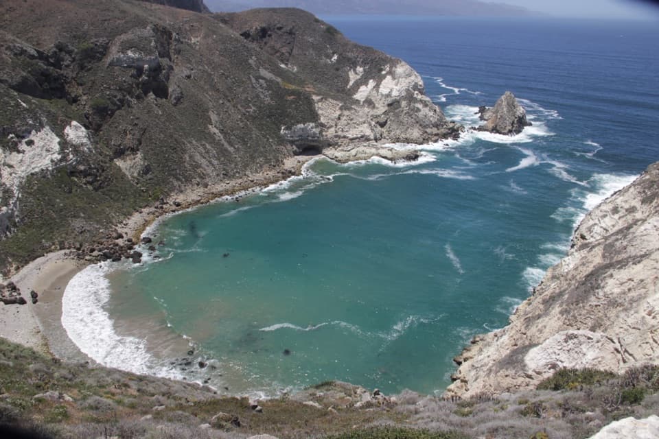
A seabird bluff with Scorpion Rock just offshore.

Photo: Mx. Granger, CC0, via Wikimedia Commons

Type
Sight
Nearest trail
0.3 mi
  • Scenic viewpoint

Overview

About Scorpion Rock Overlook

Why stop

  • Rugged cliffs and an offshore nesting islet share the view.

Heads up

  • No separate approach or distance is published for this viewpoint.

Map

Where it is

Loading the Channel Islands map
Full map
SightScorpion Rock Overlook34.04740, -119.55182
Keep this map with you offline in the Parkwolf app

Plan your stop

Before you go

2 active Channel Islands alerts

  • ClosureSanta Rosa Island wildfire-recovery closuresBurned areas on Santa Rosa Island remain closed during wildfire recovery, and Southeast Quadrant backcountry beach camping is closed for the remainder of the 2026 recreation season.Official details
  • InfoSanta Barbara Island dock closed; landings restrictedThe Santa Barbara Island dock is closed; land only on the adjacent rocky ledge.Official details
Channel Islands alerts
A park ranger sits on a dash-mounted phone, talking, as Parkwolf’s Tour Guide plays “Army Cutworm Moths: A Grizzly Bear Buffet” on Grand Loop Road below Dunraven Pass in Yellowstone
Parkwolf Tour GuideThe highest, rockiest slopes around here are a summer buffet for grizzly bears.

Channel Islands Tour Guide

Your drive to Scorpion Rock Overlook, narrated.

Parkwolf is a GPS audio tour guide for Channel Islands National Park. As you drive, it chimes in with what’s ahead: hidden gems, upcoming stops, history, geology, and wildlife, right through your car’s speakers.

See the Channel Islands audio tour
  • 16 audio storiesacross Channel Islands’s roads, triggered by GPS as you drive
  • Wildlife heatmapsfor Island Fox, Humpback Whale, Blue Whale, and 13 more
  • Works offlinemaps, 48 trails, 75 places, and audio download before you lose signal
  • CarPlay readysimple controls built for the drive
★★★★★
“Fantastic app with many points of information… It’s great to just turn on while you’re driving and it gives you an audio tour of the national Park. We love it!!!!”
JMJamesApp Store review
Download Parkwolf on the App StoreGet Parkwolf on Google Play

4.7 from 8,600+ ratings

Guide

More about Scorpion Rock Overlook

A bluff above Scorpion RockScorpion Rock Overlook is a named scenic viewpoint on Santa Cruz Island above a rugged volcanic…

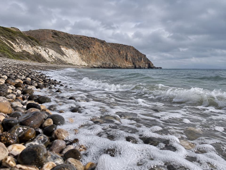
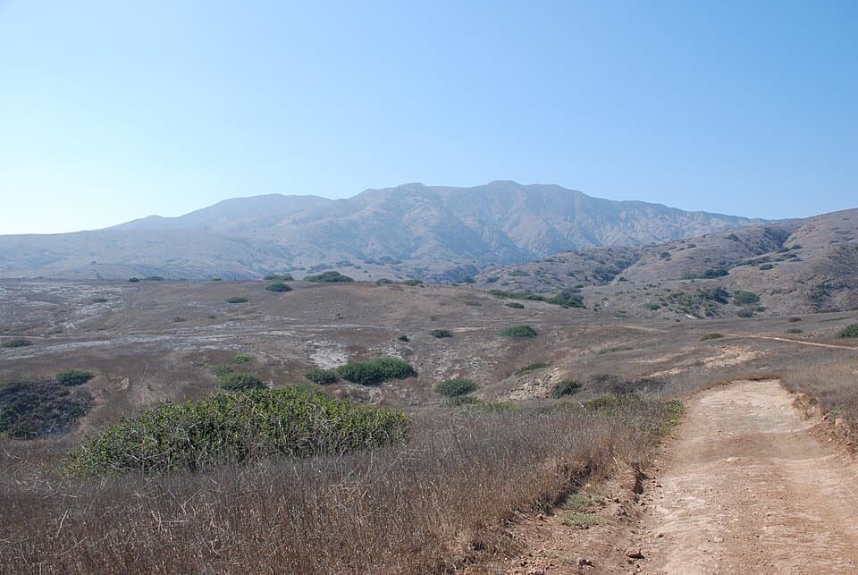
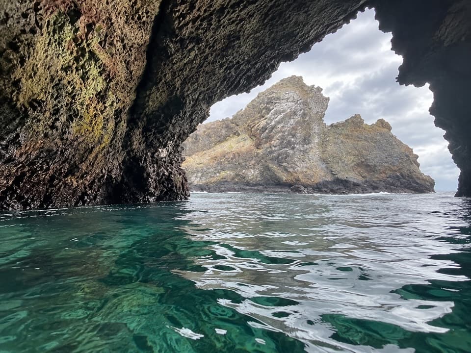
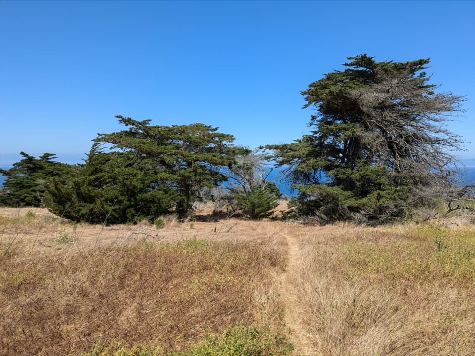
Scorpion Rock Overlook is a named scenic viewpoint on Santa Cruz Island above a rugged volcanic shore. From the bluff, Scorpion Rock sits just offshore below coastal cliffs roughly 300 feet high. It’s a good pause for the open-water view if you’re already exploring this side of the island. The island is reached by boat to Scorpion Anchorage, but the published hike list doesn’t give this viewpoint a separate approach or distance, so check the route at the landing before setting out. Restrooms and picnic tables are at Scorpion Anchorage, not at the overlook.

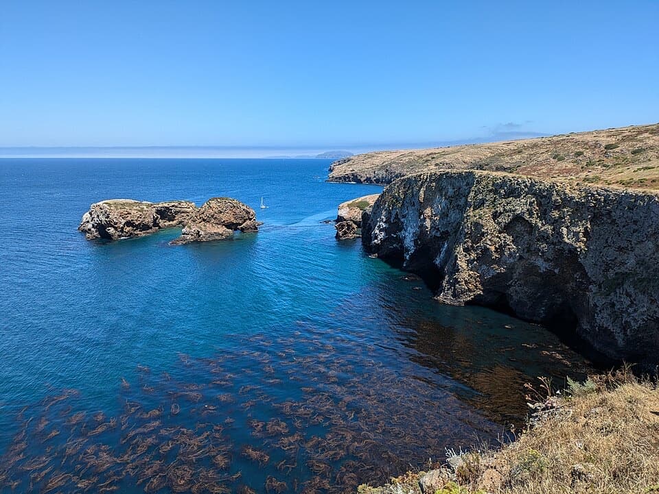
Watch the coastlineWestern gulls and pelicans often soar along these cliffs.

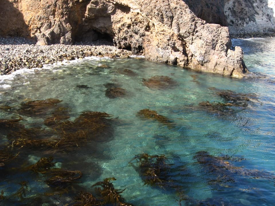
Western gulls and pelicans often soar along these cliffs. The surrounding caves, coastline and islets also provide nesting habitat for seabirds and shorebirds, including ashy storm-petrels, Brandt’s cormorants and pigeon guillemots. The Scorpion Marine Reserve extends from Potato Harbor to Scorpion Rock; recreational fishing and commercial harvest are prohibited there.

A colony that came backHuman disturbance had driven Scorpion Rock’s seabird colony away by the 1930s.

Human disturbance had driven Scorpion Rock’s seabird colony away by the 1930s. Restoration has included removing nonnative plants, replanting native vegetation, installing nest boxes and closing sensitive areas to protect nesting birds. The low islet is a nesting place, not a landing stop, so enjoy it from shore.

Flowers on the marine terraceThe bluffs stand above marine terraces that once carried a lush native plant community.

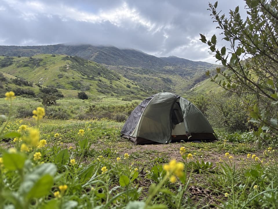
The bluffs stand above marine terraces that once carried a lush native plant community. Introduced sheep, cattle and pigs changed that landscape, pushing giant coreopsis toward inaccessible sea cliffs. After sheep were removed from The Nature Conservancy’s part of the island in 1985, coreopsis and other native plants spread back beyond the cliffs there.

Wildlife

Wildlife in Channel Islands

All Channel Islands wildlife maps

Sighting maps show where each species has been reported across Channel Islands. Wildlife moves, so no sighting is guaranteed.

Keep exploring

Near Scorpion Rock Overlook

See it all on the map

Trails nearby

More stops nearby

Parkwolf’s Channel Islands ranking

Top sights in Channel Islands

All 75 places
  1. 1Inspiration PointSight
  2. 2Scorpion Anchorage and BeachBeach
  3. 3Arch RockSight
  4. 4Potato Harbor OverlookSight
  5. 5Painted CaveSight
  6. 6Cavern PointSight

Take Parkwolf to Channel Islands.

The audio tour guide for the drive, plus offline maps, trails, and wildlife heatmaps for when the signal drops.

4.7 from 8,600+ ratings

Download Parkwolf on the App StoreGet Parkwolf on Google Play