Sugarloaf Mountain Fire Lookout in Chiricahua National Park

#5 of 14 sights in Chiricahua

Sight · Chiricahua National Park

Sugarloaf Mountain Fire Lookout

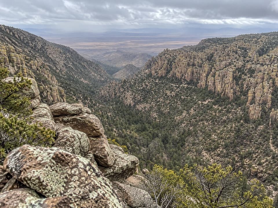
A steady climb to wide views over Bonita Canyon.

Photo: Wikimedia Commons
Type
Sight
Nearest trail
0.3 mi
Audio stories
16 nearby
  • Trailhead
  • Parking
  • Scenic viewpoint
  • Restrooms

Hear the audio tour

Sugarloaf Mountain Lookout

Overview

About Sugarloaf Mountain Fire Lookout

Why stop

  • Broad views over Bonita Canyon and the pinnacles

Heads up

  • The summit view takes a steady uphill hike to reach

Map

Where it is

Loading the Chiricahua map
Full map
SightSugarloaf Mountain Fire Lookout32.01421, -109.32478
Keep this map with you offline in the Parkwolf app

Plan your stop

Before you go

3 active Chiricahua alerts

  • CautionRabies warning for wild animalsRabies has been detected in Southeast Arizona; do not approach, feed, or touch wild animals.Official details
  • InfoVehicle and trailer limits on Bonita Canyon DriveCheck vehicle length before continuing past Faraway Ranch Parking; there is no large-vehicle turnaround farther up Bonita Canyon Drive. The road narrows and winds steeply up the mountain.Official details

See all 3 alerts
A park ranger sits on a dash-mounted phone, talking, as Parkwolf’s Tour Guide plays “Army Cutworm Moths: A Grizzly Bear Buffet” on Grand Loop Road below Dunraven Pass in Yellowstone
Parkwolf Tour GuideThe highest, rockiest slopes around here are a summer buffet for grizzly bears.

Chiricahua Tour Guide

Your drive to Sugarloaf Mountain Fire Lookout, narrated.

Parkwolf is a GPS audio tour guide for Chiricahua National Park. As you drive, it chimes in with what’s ahead: hidden gems, upcoming stops, history, geology, and wildlife, right through your car’s speakers.

Recorded for this place

Sugarloaf Mountain Lookout
0:00 / 0:23
“Sugarloaf Mountain's trailhead is coming up, a good choice if you want a summit view over Bonita Canyon and the pinnacles.”

Plays as you drive up to Sugarloaf Mountain Fire Lookout in the Parkwolf Chiricahua Tour Guide.

More stories near here in the app

  • Sugarloaf’s Lava Cap
  • Echo Canyon Grottoes
  • Leave Time for the Stars
  • A Woodpecker’s Pantry
  • 26 audio storiesacross Chiricahua’s roads, triggered by GPS as you drive
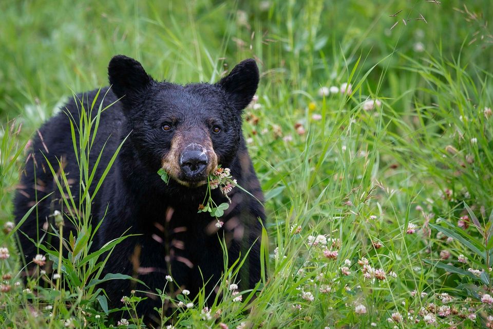
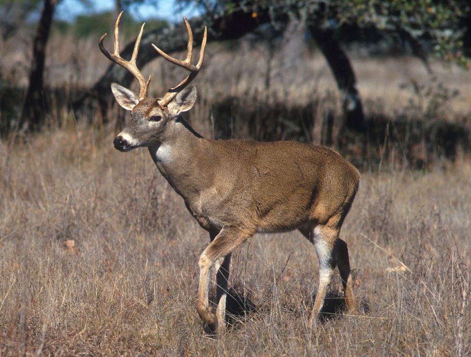
  • Wildlife heatmapsfor Black Bear, White-nosed Coati, White-tailed Deer, and 13 more
  • Works offlinemaps, 14 trails, 17 places, and audio download before you lose signal
  • CarPlay readysimple controls built for the drive
★★★★★
“Fantastic app with many points of information… It’s great to just turn on while you’re driving and it gives you an audio tour of the national Park. We love it!!!!”
JMJamesApp Store review
Download Parkwolf on the App StoreGet Parkwolf on Google Play

4.7 from 8,600+ ratings

Guide

More about Sugarloaf Mountain Fire Lookout

A summit above the pinnaclesSugarloaf Mountain Fire Lookout sits on a 7,310-foot summit, one of the highest points in…

Sugarloaf Mountain Fire Lookout sits on a 7,310-foot summit, one of the highest points in Chiricahua. The 1.8-mile round-trip hike takes about one to two hours and climbs to a wide view over Bonita Canyon and the park’s rock spires. This is a good choice if you want the whole landscape from above; it’s a real uphill walk, not a roadside stop.

The trail to the topStart from Sugarloaf parking lot and return the same way.

Start from Sugarloaf parking lot and return the same way. The established path is rated moderate, with little rough terrain, but it climbs steadily. A few visitors describe rocky or steep footing, so don’t mistake the short distance for a flat walk. Dogs aren’t allowed on the trail.

Take in the viewFrom the summit, the canyons open out below you and the pinnacles stretch toward the…

From the summit, the canyons open out below you and the pinnacles stretch toward the surrounding mountains. Give yourself a moment to turn around and take in the whole skyline. For a photo, keep some of the nearer spires in the frame with the distant ridgeline; the layers show how far the rock country runs.

The lookout still has a jobThe Civilian Conservation Corps built the small lookout in 1935.

The Civilian Conservation Corps built the small lookout in 1935. It still monitors lightning activity in summer, so this is a working mountain landmark as well as a historic one. The summit structure is a low, stone-based cabin with antennas, not a tall freestanding tower; treat it as an exterior landmark, since visitor entry isn’t confirmed.

Lava above the tuffThe summit’s dark cap is dacite from an ancient lava flow.

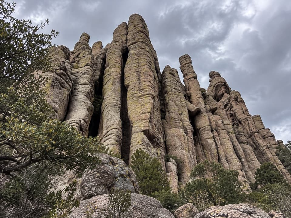
The summit’s dark cap is dacite from an ancient lava flow. The pale pinnacles below are a different rock: rhyolite tuff made from ash and hot debris from the Turkey Creek Caldera eruption about 27 million years ago. Those deposits hardened, cracked, and eroded into the towers that make the surrounding landscape so distinctive.

Before you drive upThe scenic drive has a 24-foot vehicle limit and doesn’t allow trailers.

The scenic drive has a 24-foot vehicle limit and doesn’t allow trailers. Summer monsoon storms can bring lightning to the exposed summit, and winter can bring snow or ice to the trail. Check current park conditions before you go.

Wildlife

Wildlife in Chiricahua

All Chiricahua wildlife maps

Sighting maps show where each species has been reported across Chiricahua. Wildlife moves, so no sighting is guaranteed.

Keep exploring

Near Sugarloaf Mountain Fire Lookout

See it all on the map

Trails nearby

More stops nearby

Parkwolf’s Chiricahua ranking

Top sights in Chiricahua

All 17 places
  1. 1Massai PointSight
  2. 2Faraway RanchSight
  3. 3Big Balanced RockSight
  4. 4Echo Canyon GrottoesSight
  5. 6Inspiration PointSight
  6. 7Pinnacle Balanced RockSight

Take Parkwolf to Chiricahua.

The audio tour guide for the drive, plus offline maps, trails, and wildlife heatmaps for when the signal drops.

4.7 from 8,600+ ratings

Download Parkwolf on the App StoreGet Parkwolf on Google Play