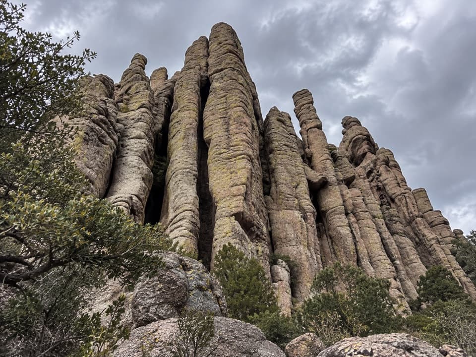
Echo Canyon Grottoes in Chiricahua National Park

#4 of 14 sights in Chiricahua

Sight · Chiricahua National Park

Echo Canyon Grottoes

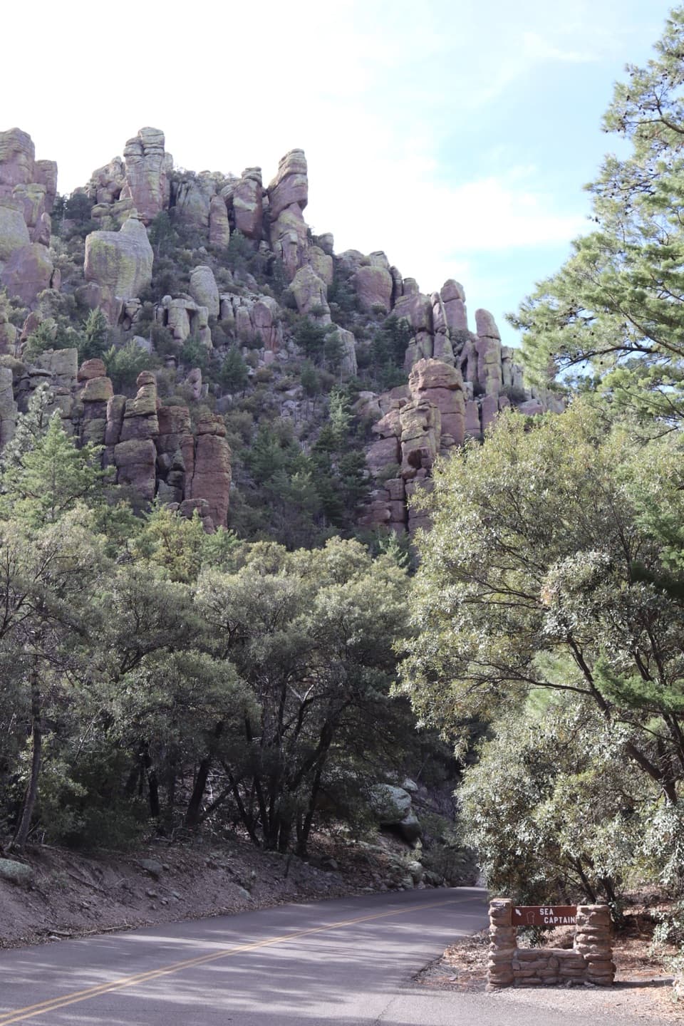
Step into a stone corridor among towering rock pinnacles.

Photo: Wikimedia Commons
Type
Sight
Nearest trail
0.3 mi
Audio stories
13 nearby
  • Trailhead
  • Parking
  • Restrooms

Hear the audio tour

Echo Canyon Grottoes

Overview

About Echo Canyon Grottoes

Why stop

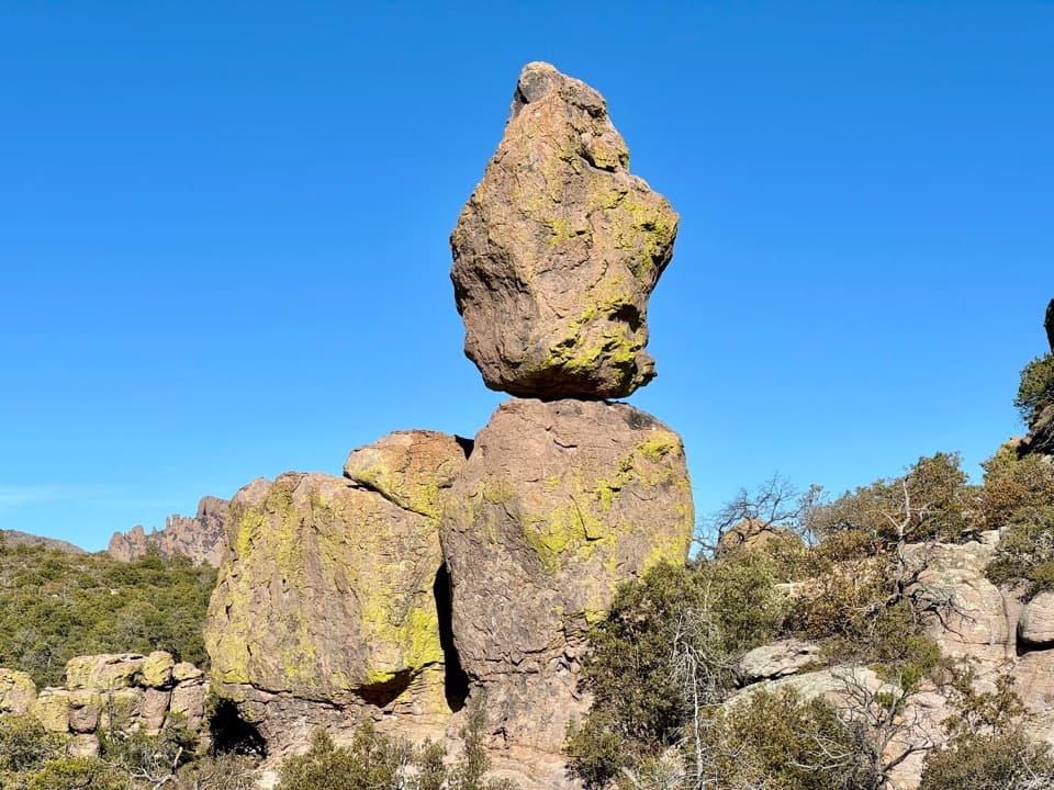
  • Walk-through arches and balanced rocks on a short outing.

Heads up

  • Loose, rocky footing and a 200-foot climb back.

Map

Where it is

Loading the Chiricahua map
Full map
SightEcho Canyon Grottoes32.00862, -109.31934
Keep this map with you offline in the Parkwolf app

Plan your stop

Before you go

Best time to go

Winter weekends can fill the trailhead parking area, and ice can linger after snow. Summer brings either strong heat and sun or monsoon rain and lightning, so check conditions before setting out. Bring a flashlight or headlamp for a late-day visit; the footing is uneven. If you want a longer hike, continue on the 3.3-mile Echo Canyon Loop; otherwise turn back from the Grottoes. The scenic drive beyond the Visitor Center prohibits trailers and vehicles over 24 feet.

3 active Chiricahua alerts

  • CautionRabies warning for wild animalsRabies has been detected in Southeast Arizona; do not approach, feed, or touch wild animals.Official details
  • InfoVehicle and trailer limits on Bonita Canyon DriveCheck vehicle length before continuing past Faraway Ranch Parking; there is no large-vehicle turnaround farther up Bonita Canyon Drive. The road narrows and winds steeply up the mountain.Official details
See all 3 alerts
A park ranger sits on a dash-mounted phone, talking, as Parkwolf’s Tour Guide plays “Army Cutworm Moths: A Grizzly Bear Buffet” on Grand Loop Road below Dunraven Pass in Yellowstone
Parkwolf Tour GuideThe highest, rockiest slopes around here are a summer buffet for grizzly bears.

Chiricahua Tour Guide

Your drive to Echo Canyon Grottoes, narrated.

Parkwolf is a GPS audio tour guide for Chiricahua National Park. As you drive, it chimes in with what’s ahead: hidden gems, upcoming stops, history, geology, and wildlife, right through your car’s speakers.

Recorded for this place

Echo Canyon Grottoes
0:00 / 0:26
“Up ahead is the Echo Canyon trailhead, where a short hike takes you into the Grottoes' narrow stone passages. For a taste of the rock maze, choose the one-point-two-mile round trip and allow thirty to sixty minutes.”

Plays as you drive up to Echo Canyon Grottoes in the Parkwolf Chiricahua Tour Guide.

More stories near here in the app

  • Massai Point
  • Sugarloaf’s Lava Cap
  • Sugarloaf Mountain Lookout
  • A Woodpecker’s Pantry
  • 26 audio storiesacross Chiricahua’s roads, triggered by GPS as you drive
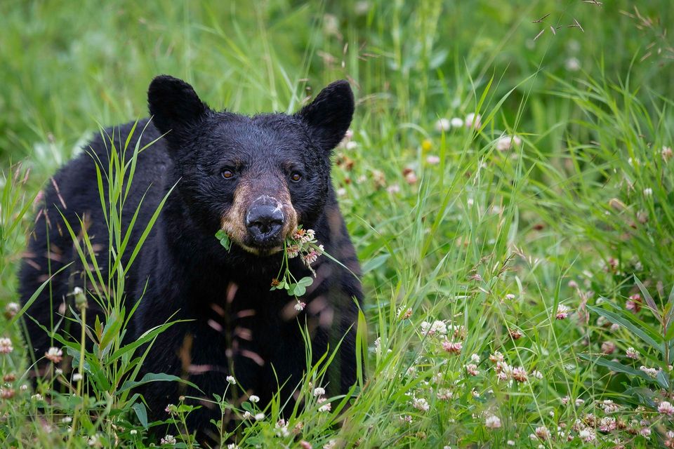
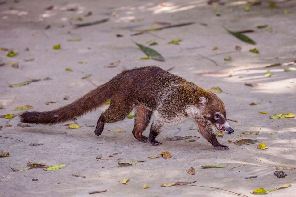
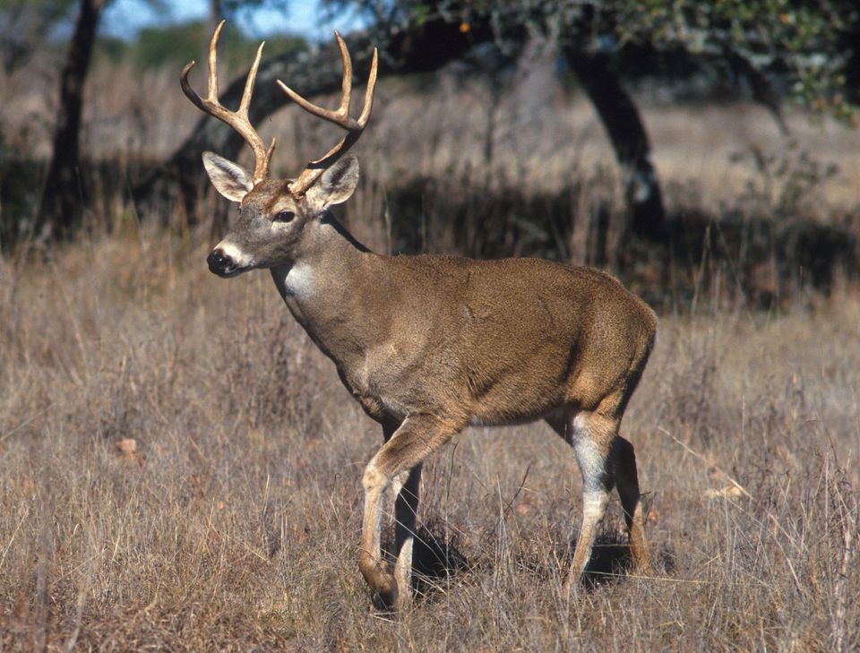
  • Wildlife heatmapsfor Black Bear, White-nosed Coati, White-tailed Deer, and 13 more
  • Works offlinemaps, 14 trails, 17 places, and audio download before you lose signal
  • CarPlay readysimple controls built for the drive
★★★★★
“Fantastic app with many points of information… It’s great to just turn on while you’re driving and it gives you an audio tour of the national Park. We love it!!!!”
JMJamesApp Store review
Download Parkwolf on the App StoreGet Parkwolf on Google Play

4.7 from 8,600+ ratings

Guide

More about Echo Canyon Grottoes

Walk into the rock mazeEcho Canyon Grottoes is a cluster of narrow, walk-through passages and arches tucked among…

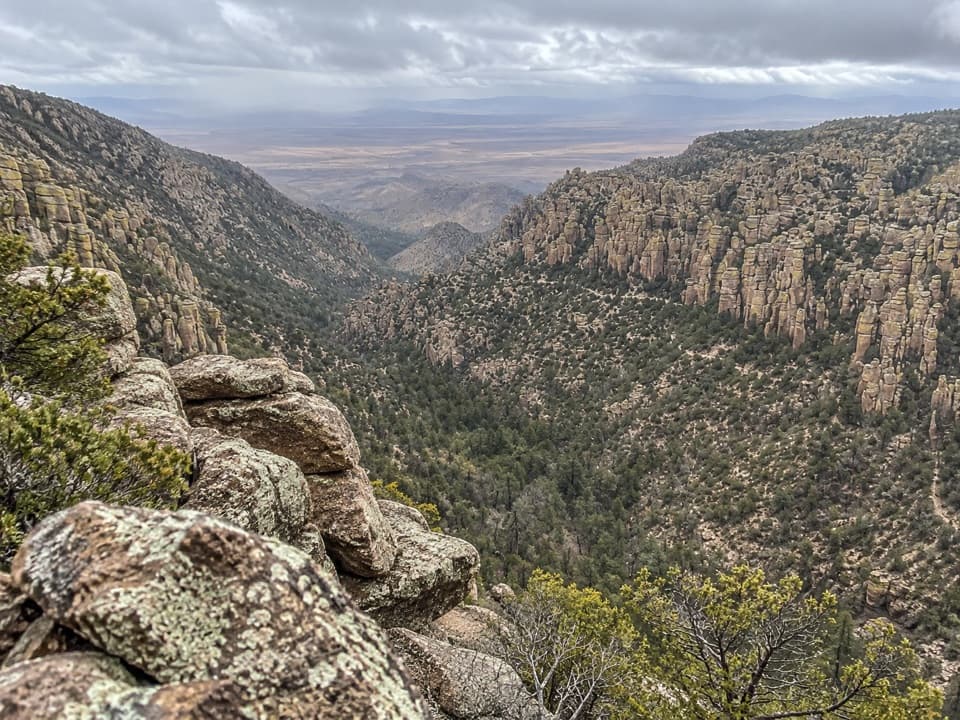
Echo Canyon Grottoes is a cluster of narrow, walk-through passages and arches tucked among Chiricahua’s rhyolite pinnacles. It’s the close-up part of Echo Canyon, not a roadside overlook: the signed turn is about half a mile down Echo Canyon Trail. This is a good stop if you want to get among the rock formations without taking on the full loop. Plan 30 to 60 minutes, then return the way you came.

Take your time in the passagesSome openings feel like doorways; others run beneath boulders wedged high overhead.

Some openings feel like doorways; others run beneath boulders wedged high overhead. Look through one opening toward the next instead of treating each wall as a separate rock. That layered view is what makes the Grottoes feel like a small maze. For a photo, frame one passage through another so the picture shows how the rocks fit together.

The pinnacles began as volcanic ashThese formations are rhyolite tuff: ash and debris from the eruption that created the nearby…

These formations are rhyolite tuff: ash and debris from the eruption that created the nearby Turkey Creek Caldera about 27 million years ago. The material settled and hardened into rock, then cracks and erosion opened it into pillars, arches and narrow passages. Here, you can walk between those fissures instead of only seeing the spires from across a canyon.

Save energy for the climb backFrom Echo Canyon Parking, the trail drops about 200 feet over loose, rocky ground to the…

From Echo Canyon Parking, the trail drops about 200 feet over loose, rocky ground to the Grottoes. The return climbs back out, so the short distance feels steeper on the way back. It’s not suitable for wheelchairs or strollers, and pets aren’t allowed on the upper trails through the rocks. Pit toilets are at the parking area; there’s no water there.

Wildlife

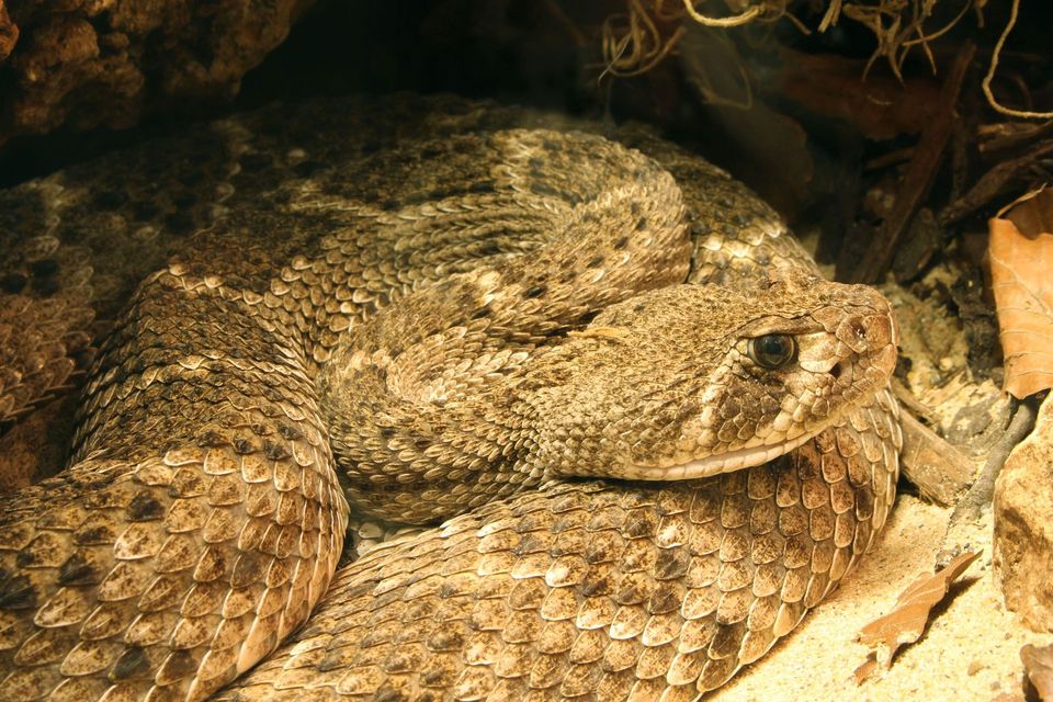
Wildlife in Chiricahua

All Chiricahua wildlife maps

Sighting maps show where each species has been reported across Chiricahua. Wildlife moves, so no sighting is guaranteed.

Keep exploring

Near Echo Canyon Grottoes

See it all on the map

Trails nearby

More stops nearby

Parkwolf’s Chiricahua ranking

Top sights in Chiricahua

All 17 places
  1. 1Massai PointSight
  2. 2Faraway RanchSight
  3. 3Big Balanced RockSight
  4. 5Sugarloaf Mountain Fire LookoutSight
  5. 6Inspiration PointSight
  6. 7Pinnacle Balanced RockSight

Take Parkwolf to Chiricahua.

The audio tour guide for the drive, plus offline maps, trails, and wildlife heatmaps for when the signal drops.

4.7 from 8,600+ ratings

Download Parkwolf on the App StoreGet Parkwolf on Google Play