
Place · 0 mi away
Moderate
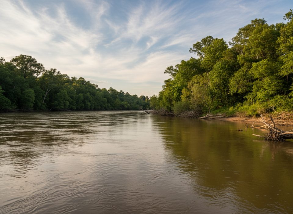
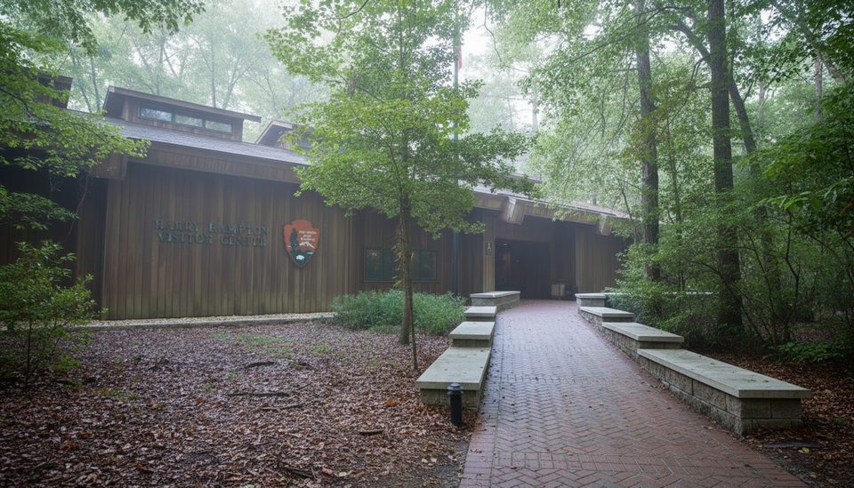
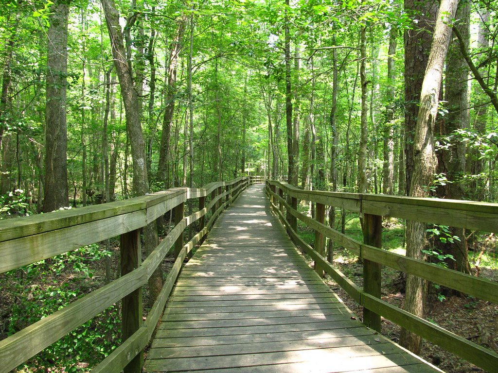
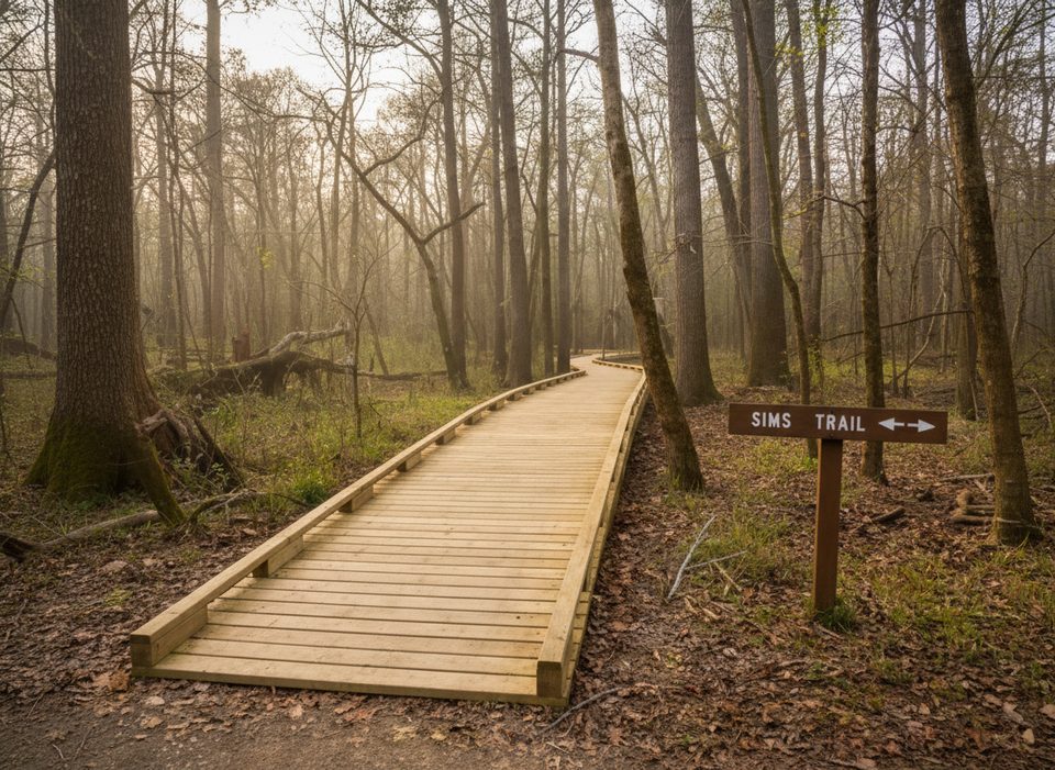
The River Trail is Congaree’s classic full‑day wander into old‑growth bottomland hardwoods, finishing at the banks of the Congaree River. It’s an out‑and‑back route that totals about 10.0 miles round trip. You don’t start on the River Trail immediately: from the Harry Hampton Visitor Center, follow the Boardwalk Loop for roughly 0.7 miles, continue onto the Weston Lake Loop, then branch onto the River Trail proper. Expect flat terrain, huge trees, and a distinctly backcountry feel once you leave the boardwalk behind.
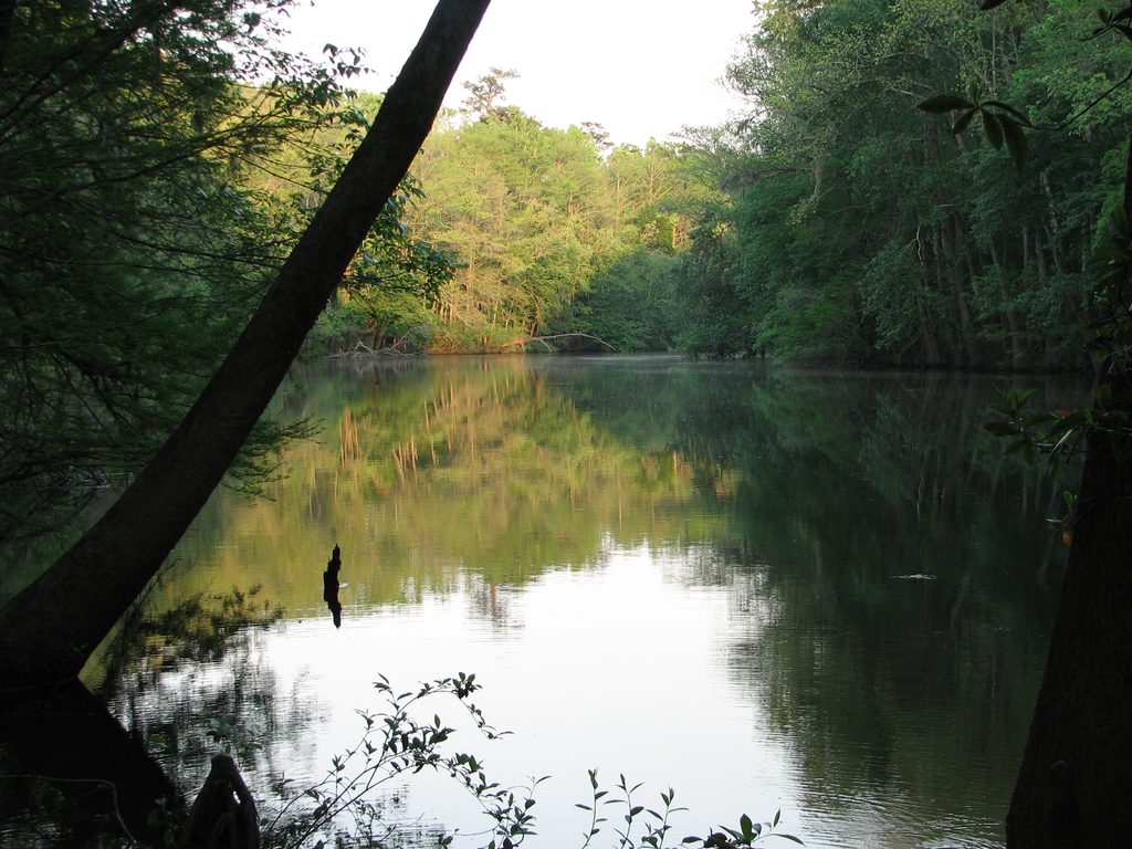
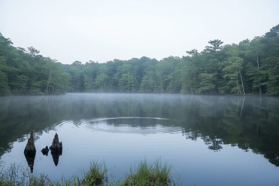
This is the park’s floodplain at its most primal—giant cherrybark oaks, beech, and Shumard oaks in one of the largest intact tracts of old‑growth bottomland hardwood forest in the country. The path skirts wetlands like tupelo‑cypress sloughs and spots such as Duck Pond and Boggy Gut. Direct river views are limited until the end, where a broad sandbar (when not flooded) makes a superb rest spot and turnaround. Wildlife is very possible: river otters and deer are regularly noted, with plenty of bird activity in the wetlands.
The tread is natural dirt and roots with minimal elevation change, but don’t confuse flat with easy. Floods can leave sections muddy, obstructed by downed trees, or temporarily impassable. Trails are marked with brown blazes and numbers, yet signage can feel sparse in the backcountry stretches. Carry a map and basic navigation tools. Overall difficulty is moderate due to length, footing, and potential water on trail.
Spring and fall are the sweet spots: milder temps, typically lower water, and fewer bugs than peak summer. Winter can be great too, with fewer insects and better sightlines, though flooding is still possible. Summer is hot, humid, and buggy—bring serious insect repellent and extra water. Whenever you go, check current conditions and river levels before committing to the full distance.
If you want Congaree’s wilder side—towering trees, swamp ambience, and a quiet river turnaround—yes. It’s less about big views and more about immersion. If you just want a quick sampler, turn back on Weston Lake Loop; but for solitude and the park’s deepest character, the River Trail delivers.
Park at the Harry Hampton Visitor Center and start on the Boardwalk Loop.
Flooding can submerge sections and the sandbar; blowdowns and sparse signage in backcountry require map/GPS. Expect mud, roots, mosquitoes, and ticks; carry all water and supplies.
Place · 0 mi away

Place · 0 mi away
Place · 0 mi away
Place · 0 mi away
Easy · 0 mi away
Easy · 0 mi away
Moderate · 0 mi away
Easy · 0 mi away

Parkwolf Tour Guide
