
Place · 0.5 mi away
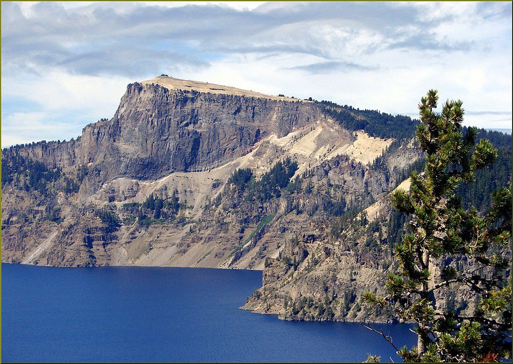
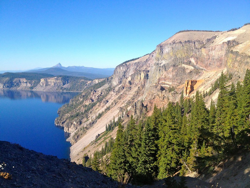
Mount Mazama is the volcano whose summit collapsed about 7,700 years ago, creating the caldera now filled by Crater Lake—the deepest lake in the United States. Standing on the rim, you’re literally looking into the guts of a volcano: stacked layers of lavas and explosive deposits that chart hundreds of thousands of years of eruptions.
Mazama grew as a composite volcano for roughly 400,000 years. Its climactic eruption triggered the summit to cave in, forming today’s caldera. Later eruptions built features within the basin. Crater Lake is precipitation‑fed—no rivers in or out—which helps explain its exceptional clarity and color.
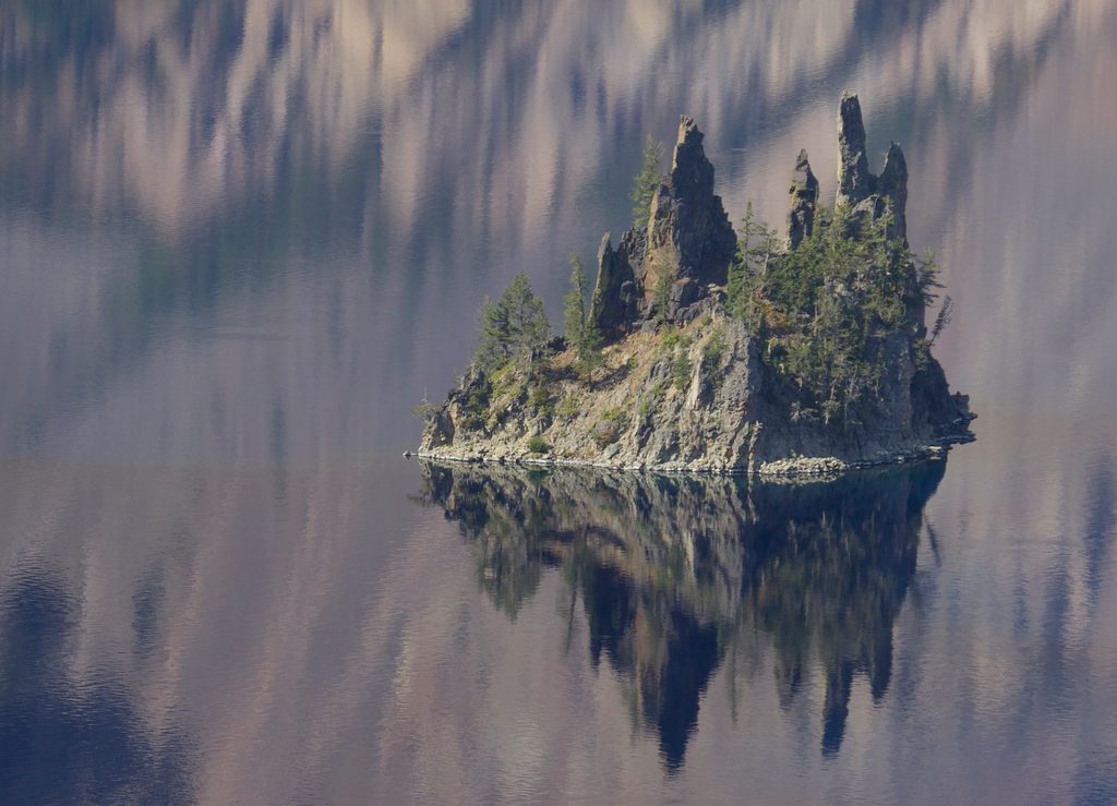
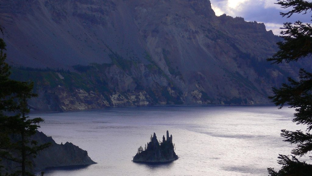
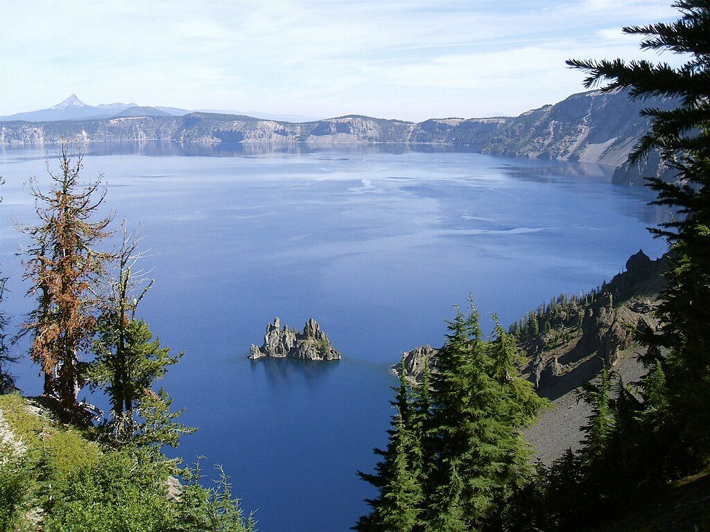
Your experience is all about rim viewpoints and short hikes that let you “read” the caldera walls. Bring a USGS field‑trip guide or geologic map to match what you’re seeing in the cliffs and islands—it turns the scenery into a story. The south rim offers superb perspectives toward Mount Scott and Phantom Ship.
Summer and early fall are prime when rim roads and viewpoints are typically open. Winter brings heavy snow and limited services, so always check current park conditions. Peak season can draw crowds; arrive early and plan your stops ahead of time.
Around the forested rim you may encounter deer and small mammals; look for birds of prey riding thermals and occasional waterfowl over the lake. Wildlife is a bonus here—the headline attraction is the geologic theater.
There are no facilities inside the caldera. Services (restrooms, fuel, food, lodging) are at developed areas like Rim Village or Mazama Village, not down by the water or on the inner walls. The cliffs are near‑vertical—stay on established trails and behind barriers. Weather is fickle at high elevation; pack layers and expect spotty cell service.
Place · 0.5 mi away
Place · 0.7 mi away
Place · 1.1 mi away
Place · 1.6 mi away
Easy · 1.2 mi away
Easy · 1.6 mi away
Moderate · 2.5 mi away
Easy · 2.9 mi away

Parkwolf Tour Guide
