Parking
Turn from East Rim Drive onto Pinnacles Road near Phantom Ship Overlook; the small trailhead lot is about 1.2 miles down on the left. Parking is limited, and there is no restroom at the trailhead.
#7 of 34 trails in Crater Lake
Crater Lake National Park, OR
A gentle forest walk to a waterfall, with a brief final climb.
Overview
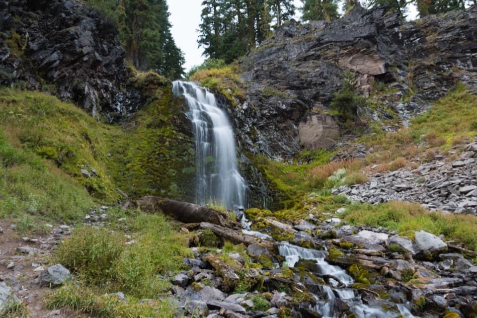
Plaikni Falls Trail is an easy 2-mile round trip from Pinnacles Road, following a roughly one-mile forest path to a snowmelt-fed waterfall and back. It is a good change of pace from Crater Lake’s rim viewpoints: you trade the lake panorama for a forest walk with a clear destination. The National Park Service lists about 100 feet of elevation gain. Allow about 45 minutes to an hour, including a short stop at the falls. Most of the route is fairly level; the last quarter-mile climbs more sharply, and the cascade can feel modest if you expect a large, thundering drop.
 Parkwolf’s verdictIs it worth the stop?
Map & elevation
Plan your hike

The highest, rockiest slopes around here are a summer buffet for grizzly bears.
Crater Lake Tour Guide
Parkwolf is a GPS audio tour guide for Crater Lake National Park. As you drive, it chimes in with what’s ahead: hidden gems, upcoming stops, history, geology, and wildlife, right through your car’s speakers.
See the Crater Lake audio tourRecorded for this trailhead
Plaikni Falls Trailhead“You're coming up on Plaikni Falls Trailhead, a good choice for a forest walk to a rocky cascade. Allow forty-five minutes to an hour for the two-mile round trip.”
Plays as you drive up to this trailhead in the Parkwolf Crater Lake Tour Guide.
More stories near here in the app
“Fantastic app with many points of information… It’s great to just turn on while you’re driving and it gives you an audio tour of the national Park. We love it!!!!”


Trail guide
From East Rim Drive near Phantom Ship Overlook, turn onto Pinnacles Road. The trailhead lot is about 1.2 miles down, on the left. The National Park Service calls parking limited, so plan around a small trailhead rather than a large visitor lot. There is no restroom at the trailhead. This is the Plaikni Falls Trailhead access; a separate map pin for the falls itself is the destination, not where you park.
The named path runs through forest on fine gravel and stays gentle for most of the mile. When it bends right, the park recommends listening for pikas, marmots and songbirds. Wildflowers are another reason to slow down when they are in season. The last short climb brings you to the waterfall and stream tucked among dark rock, moss and greenery. The falls are fed by snowmelt, so flow changes through the season; they are a pleasant destination, not a guarantee of a huge torrent. From the base, the waterfall framed with the stream and ravine makes the natural photo stop.
This is mixed-access, not an accessible-to-the-end route. The first three-quarters is described as usable by wheelchair visitors with assistance, but the final short climb to the falls may be too steep. The smooth, mostly level approach is the easy part; expect a real uphill finish and turn back if that last section is outside your comfort or mobility range.
Wildlife
 16 sightingsBlack BearMost seen around 8 PMSighting map
 178 sightingsMule DeerMost seen around 7 PMSighting map
 26 sightingsCommon RavenMost seen around 9 AMSighting map
 33 sightingsTurkey VultureMost seen around 1 PMSighting map
 47 sightingsRed-tailed HawkMost seen around 11 AMSighting map
 71 sightingsCascades FrogMost seen around 5 PMSighting map
Sighting maps show where each species has been reported across Crater Lake. Wildlife moves, so no sighting is guaranteed.
Keep exploring
 EasySun Notch Trail0.8 mi · 36 min · 1.8 mi awayA short loop through a pumice meadow to Phantom Ship.
 ModerateGrayback Road8 mi · 4 hr · 2.3 mi awayA broad, quiet forest walk along an old rim road
 ModerateCrater Peak Trail6.5 mi · 3.5 hr · 2.3 mi awayA forested climb to a volcanic summit above the Klamath Basin.
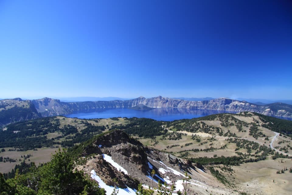 ChallengingMount Scott Trail4.4 mi · 3 hr · 2.4 mi awayClimb for the park’s only full-lake view.
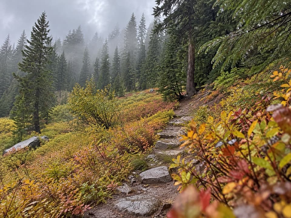 EasyCastle Crest Trail0.5 mi · 36 min · 3.7 mi awayA short loop around a spring-fed wildflower meadow.
 ModerateRaven Trail2 mi · 2.5 hr · 3.7 mi awayA marked winter climb to the caldera rim.
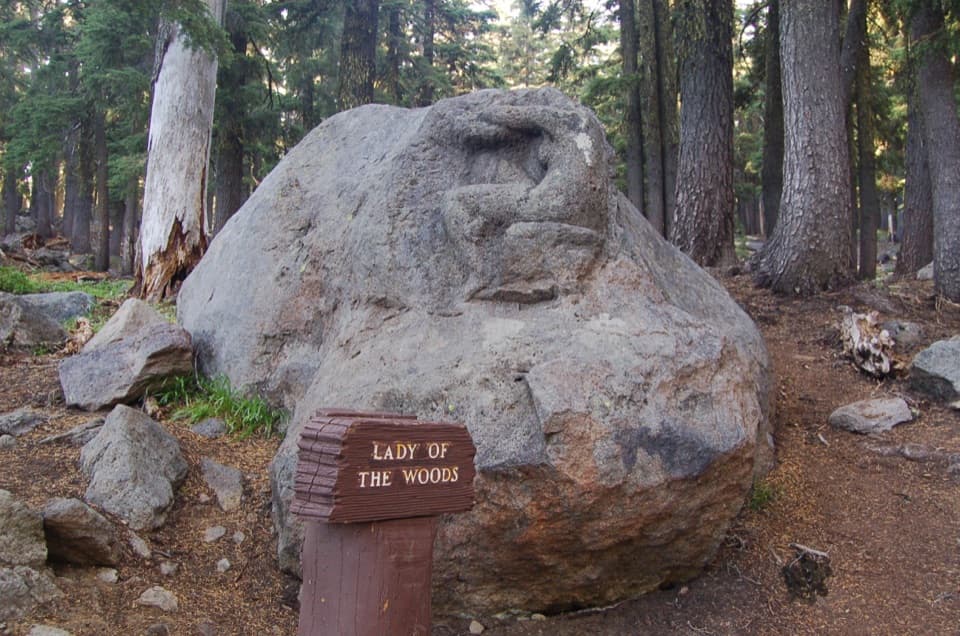 EasyLady of the Woods Trail0.7 mi · 36 min · 3.8 mi awayA short history loop to a weathered forest carving.
 ModerateGarfield Peak Trail3.6 mi · 2.5 hr · 4.1 mi awayA steady climb earns broad views from Crater Lake’s rim.Sight · 0.8 mi awayPlaikni FallsA shaded forest walk ends at a snowmelt-fed waterfall.
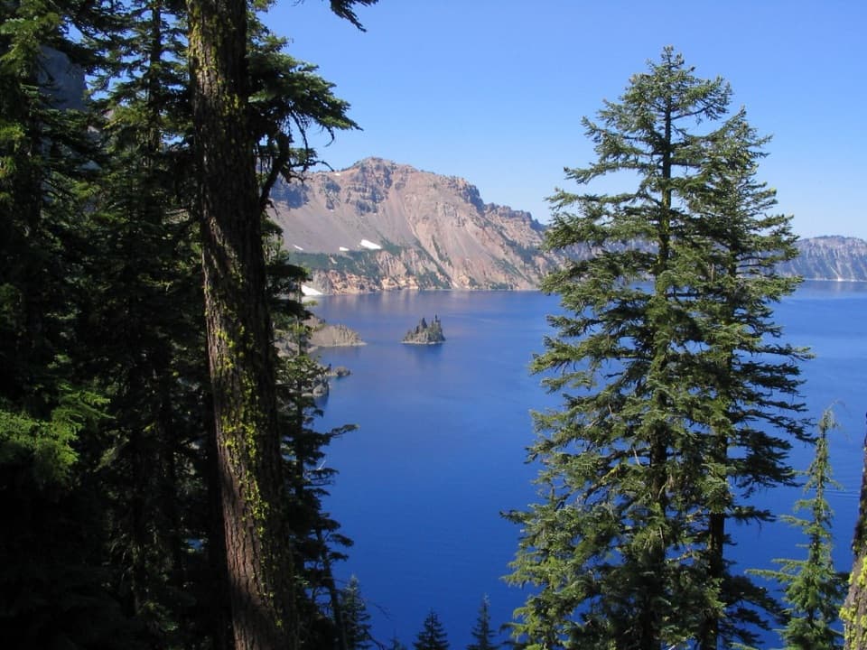 Sight · 1 mi awayPhantom Ship OverlookA jagged volcanic island that wears a ship's shape in fog.
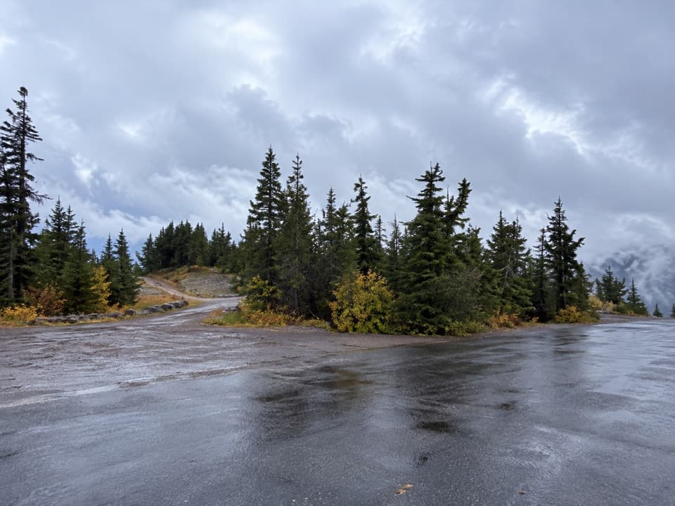 Scenic pullout · 1.4 mi awayReflection PointA long stone parapet frames another view of Phantom Ship.
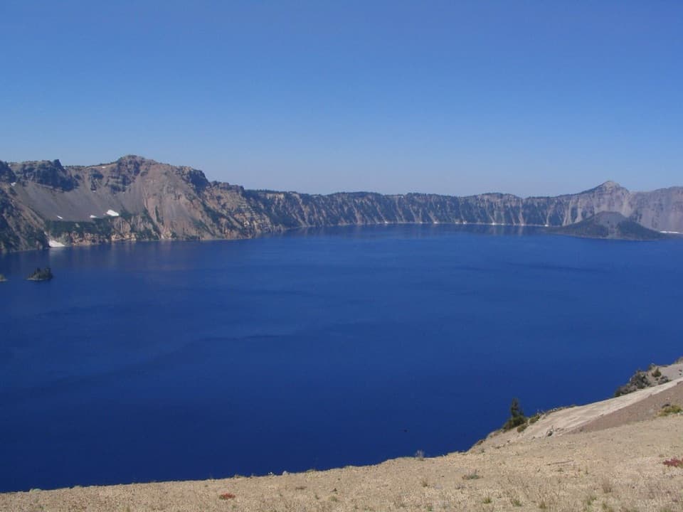 Scenic pullout · 1.6 mi awayVictor ViewA quick lake stop with a story built into the east-rim stonework.
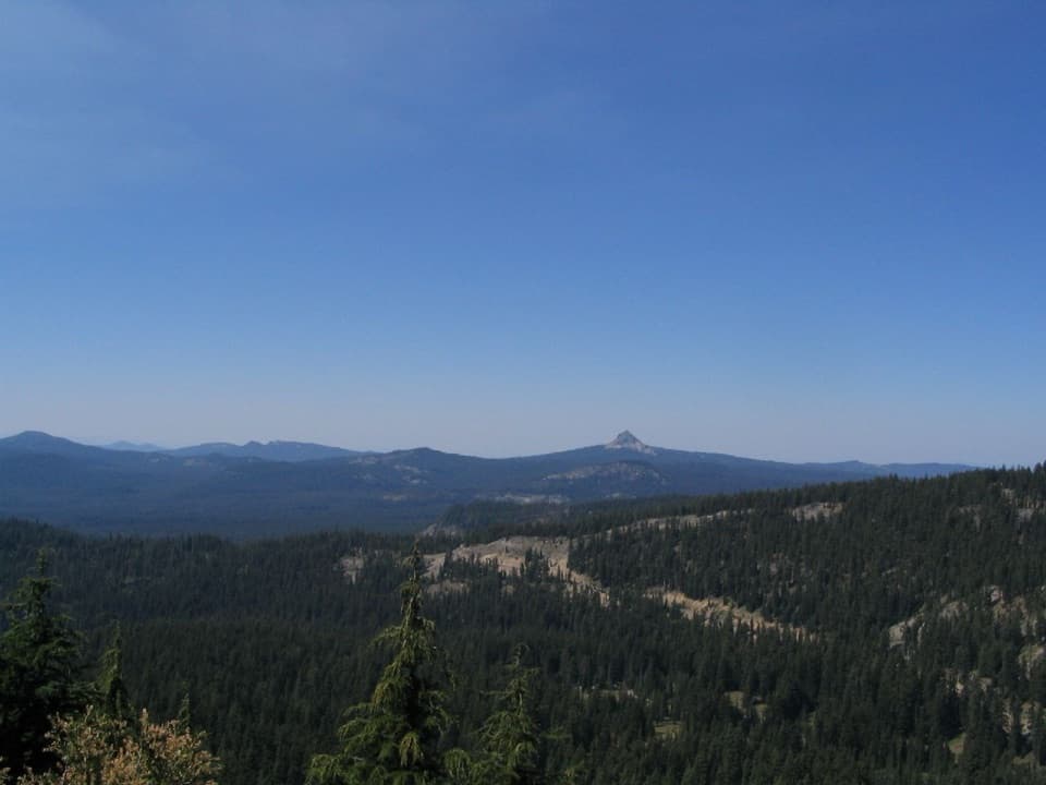 Scenic pullout · 1.6 mi awayDutton Ridge PulloutAn east-facing stop for the Klamath Basin beyond the rim.
 Sight · 1.8 mi awaySun Notch OverlookAn uphill walk reaches Phantom Ship from several rim angles.
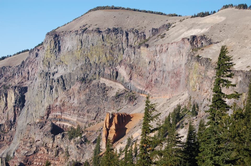 Sight · 1.8 mi awayPumice Castle OverlookAn orange pumice castle breaks up the dark caldera wall.
 Campground · 1.9 mi awayLost Creek CampgroundSixteen tent sites tucked into forest off Pinnacles Road.
Parkwolf’s Crater Lake ranking
The audio tour guide for the drive, plus offline maps, trails, and wildlife heatmaps for when the signal drops.