Pros & cons
PROS
- Direct access to the Towpath Trail and a designated Cuyahoga River launch
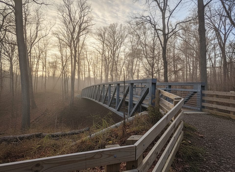
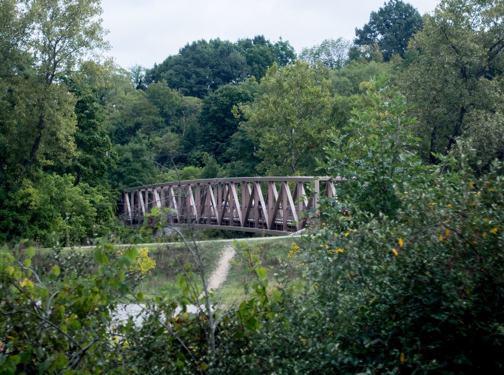
- Pedestrian bridge to Rockside Station with restrooms, water, and overflow parking
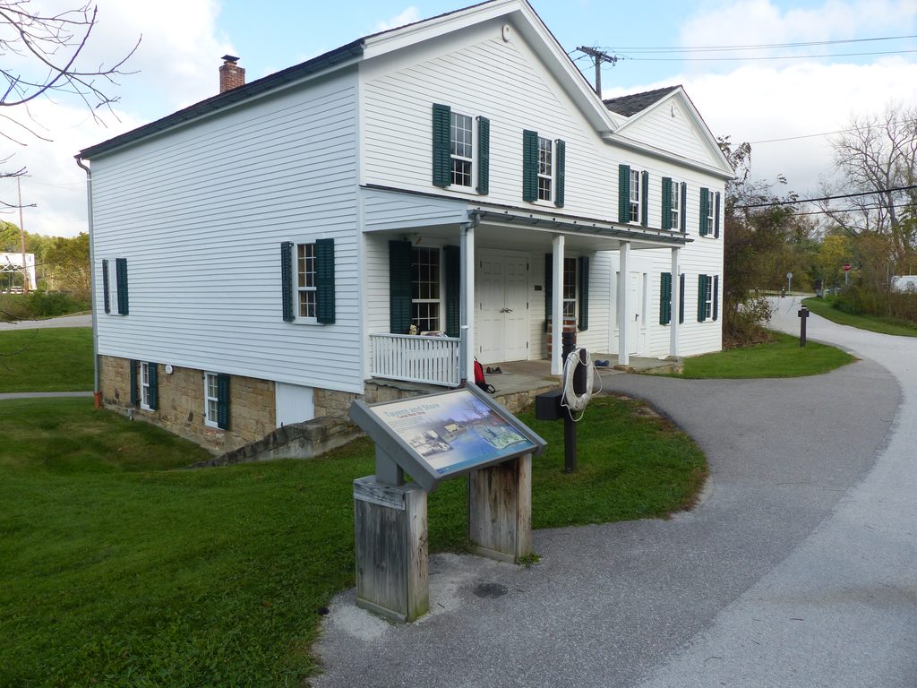
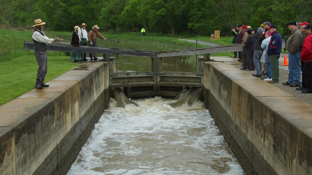
- Historic canal lock remains with interpretive displays and a helpful info kiosk
CONS
- Small parking lot that fills quickly, especially on weekends
- No restrooms at the trailhead lot; facilities are across the bridge
- River hazards for paddlers both upstream (log jams) and downstream (shipping traffic)
Overview
Lock 39 Trailhead is a busy northern gateway to the Towpath, blending history and recreation in one handy spot. You get immediate access to the Ohio & Erie Canal Towpath Trail for biking or walking, a short path to the Cuyahoga River Water Trail for paddling, and a pedestrian bridge to Rockside Station and the scenic railroad.
What You'll See
- Historic canal features from the 1800s, including the namesake lock and interpretive signage that brings the canal era to life.
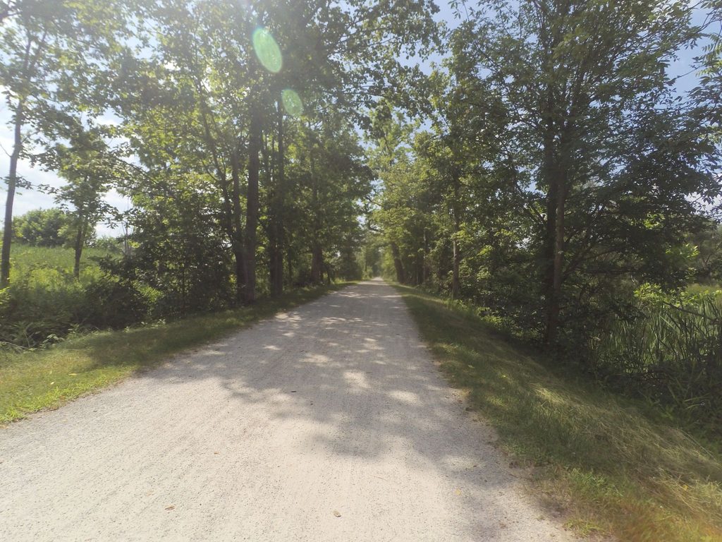
- A broad river corridor and pastoral stretches along the Towpath—expect cyclists, walkers, runners, and the occasional paddler gearing up at the river access.
- The Cuyahoga Valley Scenic Railroad rumbling nearby, adding a bit of nostalgic ambiance.
Why Start Here
- Multi‑modal convenience: trail under your feet, river at your side, train across the bridge. It’s an easy launch point whether you’re biking miles south, taking a mellow walk, or putting in a kayak.
- Onsite kiosk helps you pick routes and understand the canal history right where it unfolded.
On the Water
A short path on the southwest side of the lot leads to the designated river access. Paddlers should check conditions before launching—expect potential log jams upstream and commercial shipping traffic if you head downstream toward Cleveland. Plan conservatively and know your exit point.
Practicalities
Parking is paved but limited; when it’s full, use overflow at Rockside Station via the pedestrian bridge. Restrooms and drinking water are at Rockside Station (not at the Lock 39 lot). You’ll also find food options across Rockside Road.
Wildlife
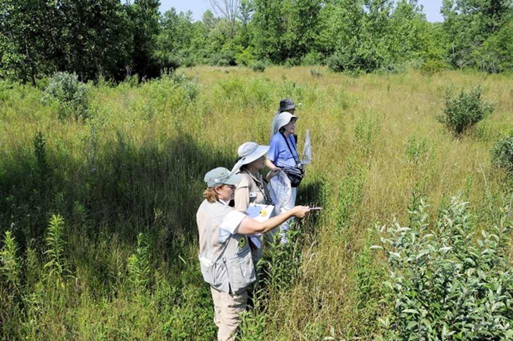
The Towpath corridor south of here passes farm fields and old fields that draw plenty of birds. Bring binoculars for river-edge and field-edge birdwatching along your walk or ride.
Best Time to Visit
Weekdays and early mornings are your sweet spot for easy parking and quieter trails. Midday and weekend hours see more traffic, with Friday midday and weekend late mornings trending busier. For photos, soft morning or late‑day light along the river and canal corridor is most flattering.
Where it is
41.3936, -81.6284Tips for Lock 39 Trailhead
- 01Arrive early; if the lot is full, use Rockside Station’s overflow.
- 02Find the river access on the southwest side of the lot near the bridge.
- 03Check river conditions and plan exits; expect log jams upstream and shipping downstream.
- 04Use the onsite kiosk to pick Towpath routes and orient to nearby stops.
- 05Start with filled bottles if you’re launching here; water is across the bridge.
Amenities
Near Lock 39 Trailhead
All places →All trails →
0.1 mi awayRockside StationNorthern gateway to CVSR rides with parking and rail historyRestroom · Parking
1.7 mi awayCanal Visitor CenterInteractive canal history with a real lock and Towpath accessVisitor Center · Exhibit
1.7 mi awayLock 38Rebuilt canal lock with occasional live demos at the visitor centerTrailhead · Restroom
2.2 mi awayTerra VistaQuiet butterfly meadows and a historic cemetery off Tinkers CreekTrailhead · Parking
5.5 mi awayOld Carriage TrailQuiet ridge loop with ravines and subtle ancient earthworksModerate · 5.3 mi · 2.5 hr
9.3 mi awayStanford TrailHilly forest path to the falls, skipping the crowded main lot.Moderate · 3 mi · 1.5 hr
9.3 mi awayBrandywine Falls BoardwalkQuick, accessible stroll to Ohio’s photogenic 60‑foot waterfallEasy · 0.4 mi · 8 min
9.3 mi awayBrandywine Gorge LoopShort, shaded loop to Ohio’s showpiece waterfall and creekside gorge.Moderate · 1.5 mi · 1 hr