Parking
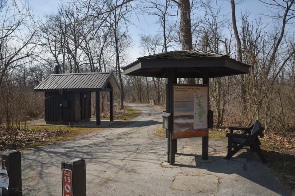
Red Lock Trailhead, 1175 West Highland Road in Sagamore Hills. The lot has 15 spaces and an accessible vault restroom; oversized vehicles do not fit. Walk north on the Towpath about 0.7 mile to the first Old Carriage junction.
#9 of 63 trails in Cuyahoga Valley
Cuyahoga Valley National Park, OH
A rocky forest loop, with a canal-side start and an old earthwork.
Overview
Map & elevation
Plan your hike

The highest, rockiest slopes around here are a summer buffet for grizzly bears.
Cuyahoga Valley Tour Guide
Parkwolf is a GPS audio tour guide for Cuyahoga Valley National Park. As you drive, it chimes in with what’s ahead: hidden gems, upcoming stops, history, geology, and wildlife, right through your car’s speakers.
See the Cuyahoga Valley audio tourRecorded for this trailhead
Red Lock Trailhead and Jaite Mill“You're nearing Red Lock Trailhead, where I'd choose the short Towpath walk to Jaite Mill for a little industrial history. Follow the level path south for about half a mile, then return the same way.”
Plays as you drive up to this trailhead in the Parkwolf Cuyahoga Valley Tour Guide.
More stories near here in the app
“Fantastic app with many points of information… It’s great to just turn on while you’re driving and it gives you an audio tour of the national Park. We love it!!!!”


Trail guide
This is a 5.25-mile loop from Red Lock, pairing a canal-side Towpath approach with the hilly, rocky Old Carriage Trail and a Towpath return. Plan about 2.5 hours. The mapped walk is 5.16 miles: follow the Towpath north for 0.7 mile to the first Old Carriage junction, climb into the woods, then return south along the canal. Other descriptions put the outing at 5.5–6 miles, likely reflecting different access or loop choices; this version includes both Towpath connectors.
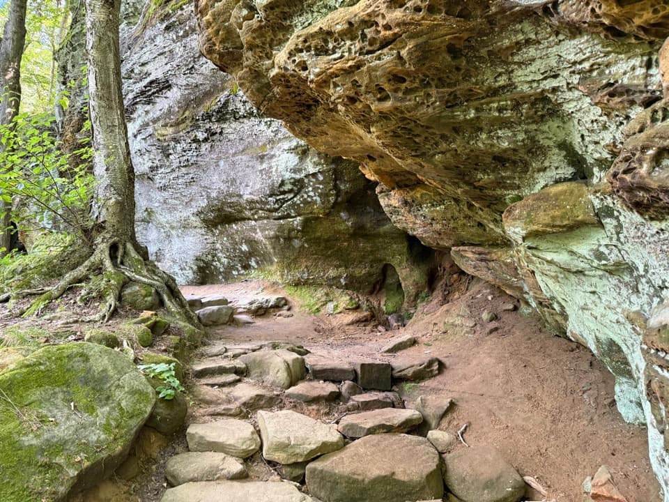
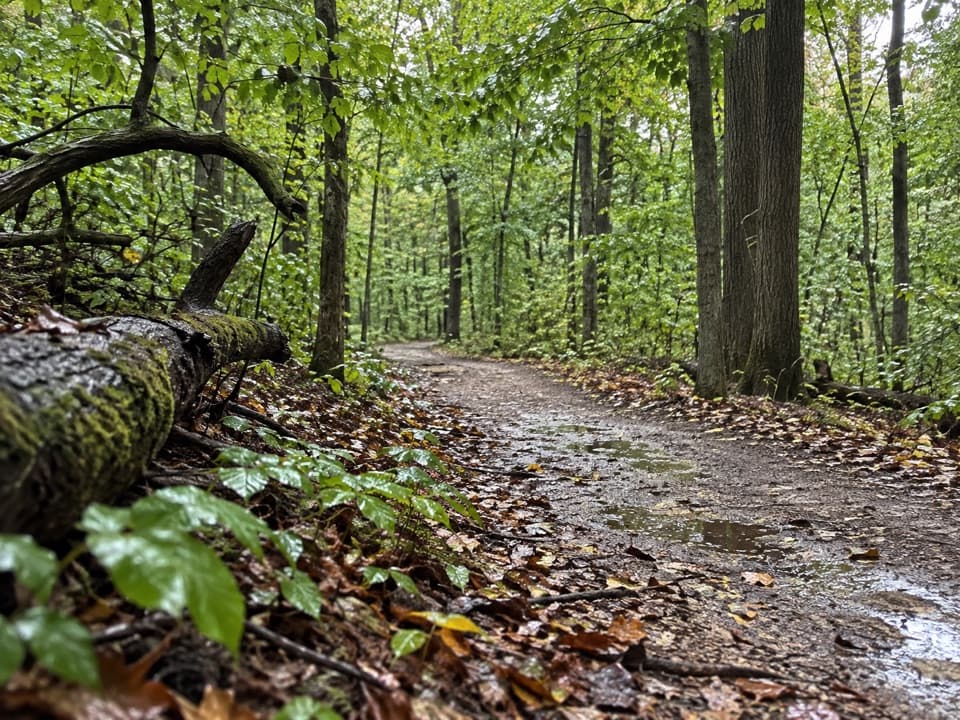
The first part on the Towpath is easy walking. The Old Carriage section climbs steeply from the canal, changes from pavement to dirt, and winds through hardwood and pine woods along ravines. Expect rocky, uneven footing and a few bridges before the route descends to the Towpath. A signed spur is reported to make a small loop without a broad view, so don't count on a panorama as the payoff.
Near the initial climb, a low earthen embankment and shallow ditch sit beside the route. Their age and purpose aren't established, so they're best read as a striking feature in the woods rather than assigned a definite story. Stay on the tread around them.
The trail crosses land once part of Wentworth George Marshall's Rocky Run Farm estate, a large property with an arboretum. The old grade recalls its carriage-road past. Marshall was a Cleveland druggist and experimental botanist; the forested ravines now make this a quieter, more physical walk than a history stop.
Red Lock is named for a lock on the Ohio & Erie Canal. The small trailhead has 15 spaces and an accessible vault restroom; oversized vehicles don't fit. There is no identified water source at the lot or along this route. Dogs are allowed on leash up to six feet. The park classifies the hike as not wheelchair accessible.
Open map data marks three bridges on the loop as no-access, while current park trail information shows Old Carriage without a listed closure. A local notice about one footbridge described a temporary closure in 2022. That conflict may be stale mapping, but check posted signs at the crossings before continuing.
Wildlife
 319 sightingsBald EagleMost seen around 7 AMSighting map
 12 sightingsRiver OtterMost seen around 7 AMSighting map
 103 sightingsCoyoteMost seen around 7 PMSighting map
 248 sightingsBeaverMost seen around 8 PMSighting map
 494 sightingsWhite-tailed DeerMost seen around 6 AMSighting map
 102 sightingsTrumpeter SwanMost seen around 5 PMSighting map
Sighting maps show where each species has been reported across Cuyahoga Valley. Wildlife moves, so no sighting is guaranteed.
Keep exploring
 ModerateBuckeye and Towpath Loop: Red Lock to Boston8.1 mi · 4.5 hr · At the trailheadRugged ridges and ravines out, flat Towpath back.
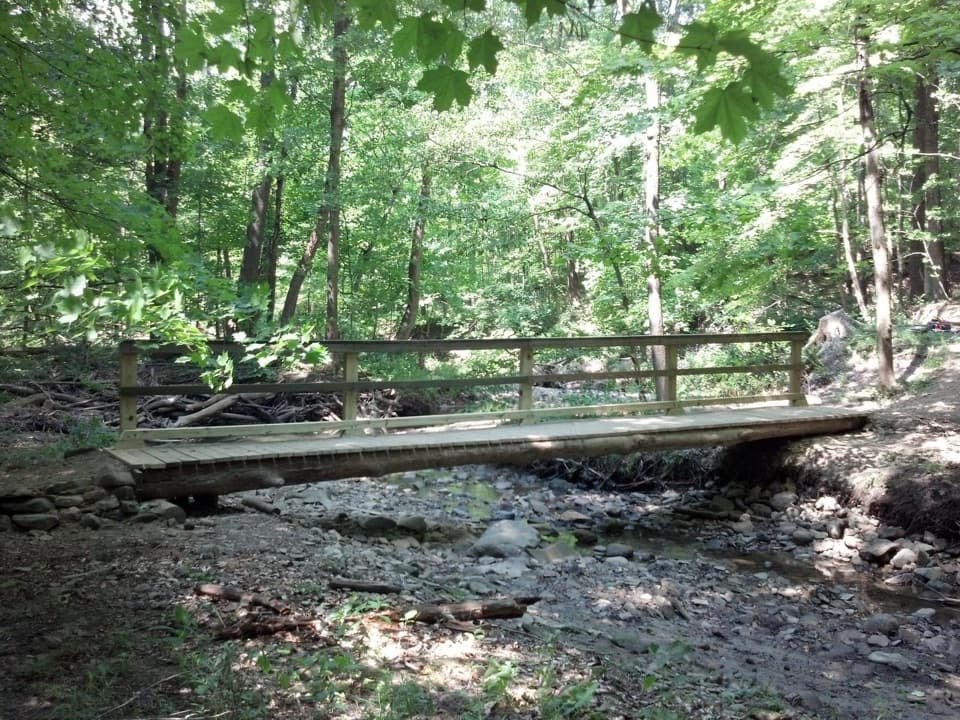 ModerateStanford Trail3.5 mi · 2.5 hr · 1.2 mi awayA wooden creek bridge and switchbacks lead to the falls.
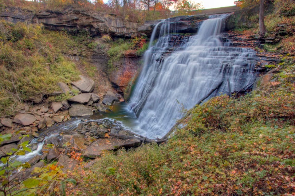 ModerateBrandywine Gorge Loop1.4 mi · 1 hr · 1.5 mi awayRocky gorge loop with a footbridge and Brandywine Falls views.
 EasyBike & Hike Trail: Brandywine Falls to Boston Heights2 mi · 48 min · 1.5 mi awayAn easy paved link with a waterfall at the northern access.
 EasyBrandywine Falls Upper Boardwalk0.4 mi · 30 min · 1.5 mi awayA quick, accessible boardwalk looks down on Brandywine Falls.
 ModerateBuckeye Trail Loop7.1 mi · 4 hr · 1.8 mi awayTake the hilly Buckeye leg out and flat Towpath back.
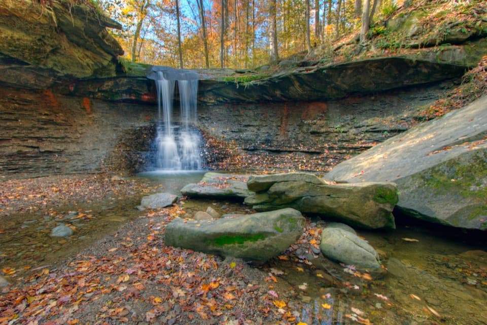 ModerateBlue Hen Falls Trail3 mi · 1.5 hr · 1.8 mi awayA steep Buckeye Trail climb ends at a 15-foot waterfall.
 ModerateButtermilk Falls via Blue Hen Falls3.5 mi · 2.5 hr · 1.8 mi awayTwo waterfalls, steep ridges, and a rough creekside finish.
 Sight · 0.3 mi awayJaite Mill SiteA short Towpath walk to a paper mill’s surviving machinery and markers.
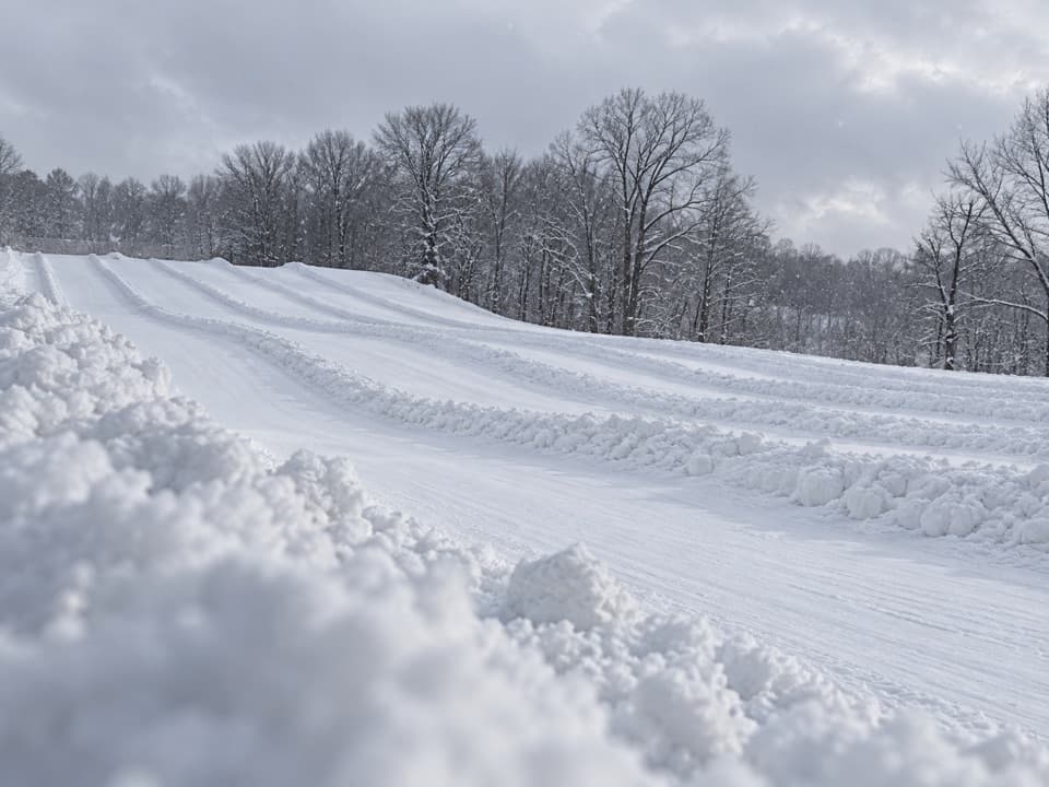 Sight · 0.7 mi awayBrandywine Ski ResortA local winter hill with a progression park and tubing next door.
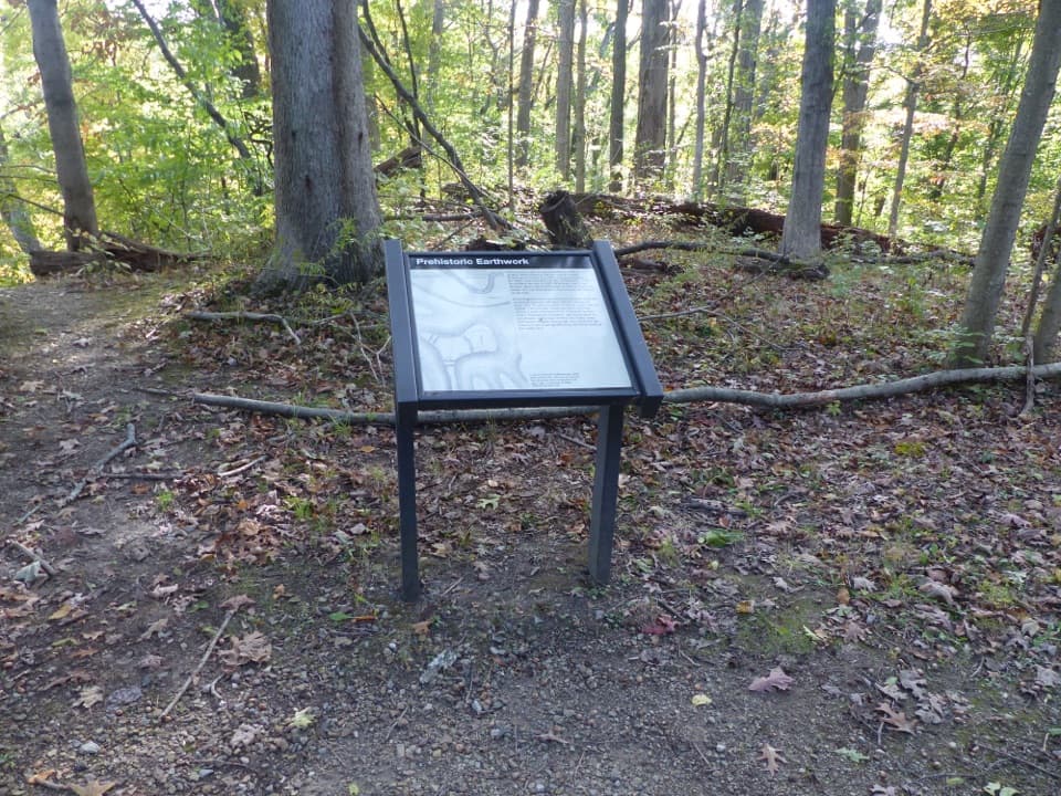 Sight · 0.7 mi awayGreenwood Village: Prehistoric EarthworkA wooded earthwork whose purpose may have been ceremonial.
 Sight · 1.3 mi awayStanford HouseA Greek Revival farmhouse shaped by the canal-era valley.
 Lodging · 1.5 mi awayThe Inn at Brandywine FallsA historic B&B puts Brandywine Falls within an easy walk.
 Sight · 1.6 mi awayBrandywine FallsA short boardwalk reveals a 60-foot waterfall and wooded gorge.
 Sight · 1.7 mi awayLock 32Where canal boats waited, and Boston grew around them.
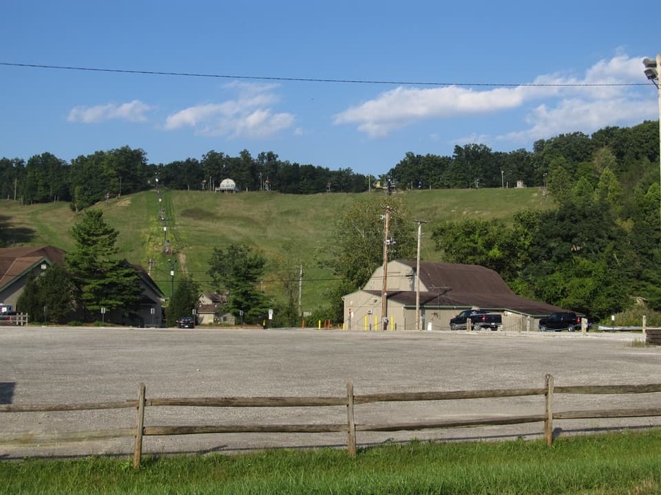 Sight · 1.7 mi awayBoston Mills Ski ResortQuick local laps, with a real challenge on the Tiger run.
Parkwolf’s Cuyahoga Valley ranking

The audio tour guide for the drive, plus offline maps, trails, and wildlife heatmaps for when the signal drops.