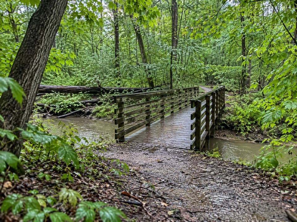
Stanford Trail in Cuyahoga Valley National Park

#6 of 63 trails in Cuyahoga Valley

Cuyahoga Valley National Park, OH

Stanford Trail

A wooden creek bridge and switchbacks lead to the falls.

Photo: National Park Service
Length
3.5mi
Time
2.5hr
Elev. change
191ft
Difficulty
Moderate
  • Dogs allowed
  • High point 855 ft

Hear the audio tour

Stanford House and Stanford Trail

Overview

About Stanford Trail

Why go

  • A wooded hill walk finishes at a close waterfall view
  • A creek bridge and varied gorge terrain keep the route interesting

Heads up

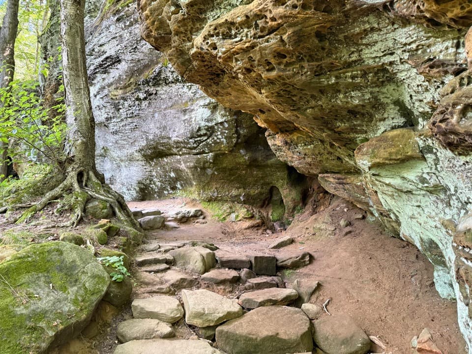
  • Steep, unpaved stretches and many steps can be muddy or slick

Map & elevation

The route

Loading the Cuyahoga Valley map
Full map
Elevation664–855 ft
TrailheadStanford Trailhead41.27248, -81.55767
Keep this map with you offline in the Parkwolf app

Plan your hike

Before you go

Parking

Park at Stanford Trailhead on Stanford Road (about 6166 Stanford Road, half a mile north of Boston Mills Road). The lot has 55 standard spaces and separate horse-trailer parking. Follow the signed connector by Stanford House; the falls parking area is a different trailhead.

Safety

The route is hilly and rocky, with unpaved footing that can be muddy. The lower falls deck is down about 80 steps; an upper boardwalk offers a view without that stair descent. Stay at least 50 feet from the top and bottom of Brandywine Falls and off the rocks and fences. Dogs must stay on a leash of six feet or shorter.

5 active Cuyahoga Valley alerts

  • ClosureStanford-area closures for pavement removalMentions this trailA contractor is removing old pavement, closing former Stanford Road between Stanford Trailhead and the Brandywine Gorge Loop, the north half of Stanford Trailhead parking lot, and a section of the…Official details
  • ClosureTowpath Trail closed: Boston to Lock 29The Towpath Trail is closed from Boston Trailhead to Lock 29 in Peninsula during the August 24–November 20, 2026 work period.Official details
See all 5 alerts
A park ranger sits on a dash-mounted phone, talking, as Parkwolf’s Tour Guide plays “Army Cutworm Moths: A Grizzly Bear Buffet” on Grand Loop Road below Dunraven Pass in Yellowstone
Parkwolf Tour GuideThe highest, rockiest slopes around here are a summer buffet for grizzly bears.

Cuyahoga Valley Tour Guide

Your drive to Stanford Trail, narrated.

Parkwolf is a GPS audio tour guide for Cuyahoga Valley National Park. As you drive, it chimes in with what’s ahead: hidden gems, upcoming stops, history, geology, and wildlife, right through your car’s speakers.

See the Cuyahoga Valley audio tour

Recorded for this trailhead

Stanford House and Stanford Trail
0:00 / 0:32
“You're nearing Stanford House and the access to Stanford Trail. The eighteen forty-three farmhouse is a Greek Revival building; enjoy the exterior rather than expecting a walk-in museum.”

Plays as you drive up to this trailhead in the Parkwolf Cuyahoga Valley Tour Guide.

More stories near here in the app

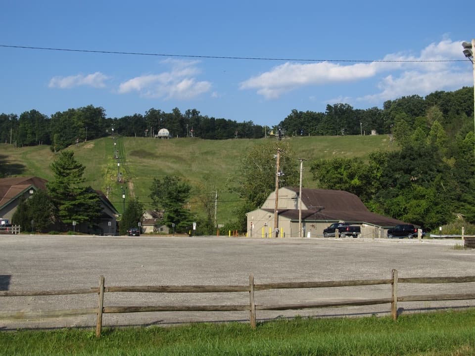
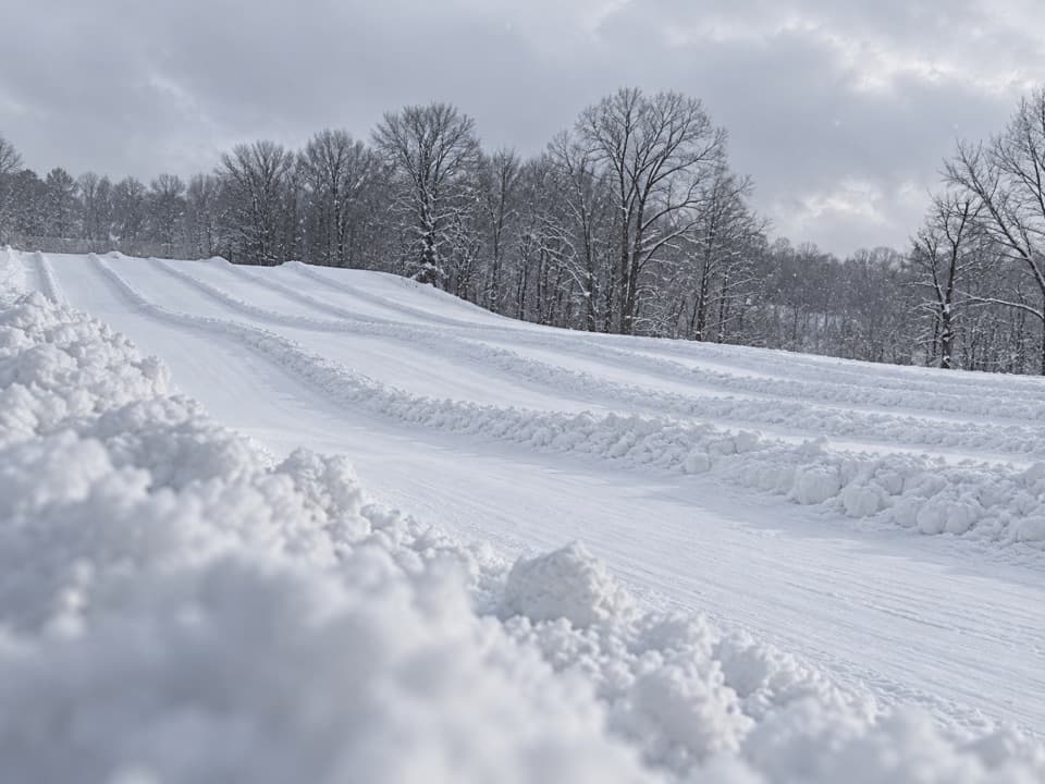
  • Boston Mills Ski Resort
  • Boston Store
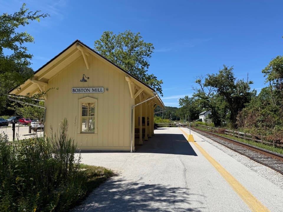
  • Boston Mill Visitor Center
  • Brandywine Falls
  • 97 audio storiesacross Cuyahoga Valley’s roads, triggered by GPS as you drive
  • Wildlife heatmapsfor Bald Eagle, River Otter, Coyote, and 13 more
  • Works offlinemaps, 63 trails, 88 places, and audio download before you lose signal
  • CarPlay readysimple controls built for the drive
★★★★★
“Fantastic app with many points of information… It’s great to just turn on while you’re driving and it gives you an audio tour of the national Park. We love it!!!!”
JMJamesApp Store review
Download Parkwolf on the App StoreGet Parkwolf on Google Play

4.7 from 8,600+ ratings

Trail guide

Hiking Stanford Trail

Is this the route you want?Stanford Trail is a 3.5-mile out-and-back from Stanford Trailhead to Brandywine Falls.

Stanford Trail is a 3.5-mile out-and-back from Stanford Trailhead to Brandywine Falls. That total includes the marked 0.2-mile connector by Stanford House and the short falls approach; you return the same way. The named trail itself is about 1.5 miles from the House side, so use the 3.5-mile figure if you start at the current lot. Allow two to three hours, including a stop at the falls. This is a good choice if you want a proper wooded walk before the waterfall: the route climbs a ridge, drops toward a creek gorge, then climbs back out. Its 190-foot elevation change doesn't capture all the short, steep ups and downs.

Through the woods and down to the creekFrom the parking area, follow the marked connector toward Stanford House. About 0.

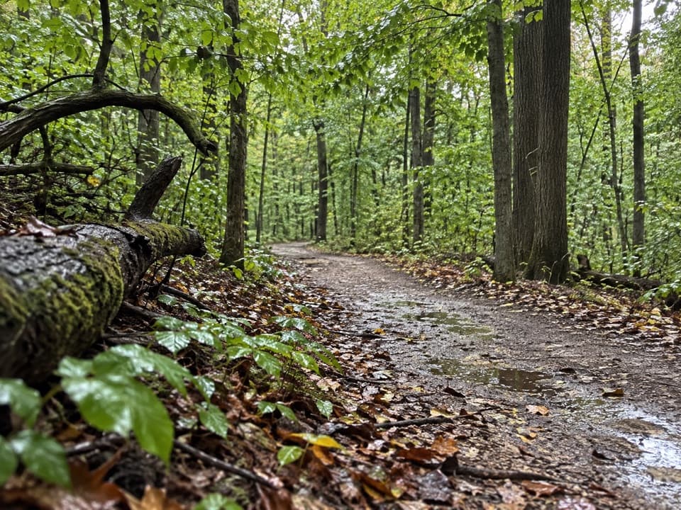
From the parking area, follow the marked connector toward Stanford House. About 0.4 mile into the walk, a wooden footbridge crosses a small stream. Broad switchbacks carry you about 150 feet uphill over the next 0.3 mile through mature oak, hickory and maple, then the trail levels on a ridge. Around 0.9 mile, a left spur leads toward Averill Pond. Stay on the main Stanford route; it turns right and descends on wooden steps toward Brandywine Gorge Trail, which it reaches at roughly 1.2 miles. Follow the signs to the falls boardwalk, then retrace the route. The Brandywine Gorge Loop branches nearby; adding that circuit makes a different, longer hike.

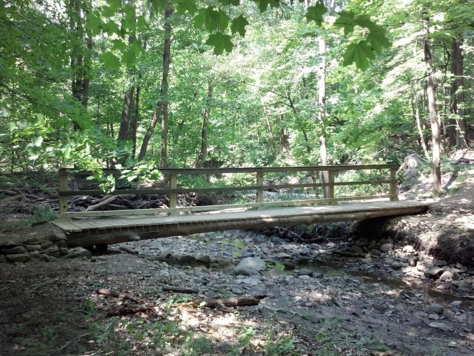
The waterfall and its rock layersBrandywine Falls drops about 60 feet over a hard cap of Berea Sandstone and softer Bedford and…

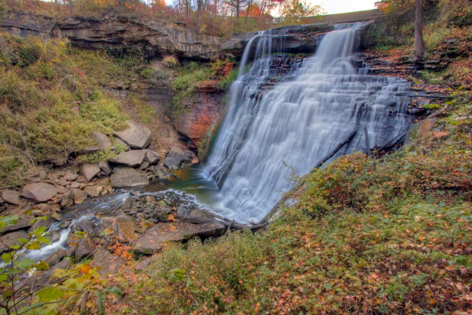
Brandywine Falls drops about 60 feet over a hard cap of Berea Sandstone and softer Bedford and Cleveland shales. The creek wears the shale into thin layers, which help give the falling water its veil-like look. The boardwalk brings you face-on to the gorge. About 80 steps lead down to the lower viewing deck; a separate upper boardwalk gives a falls view without that stair descent. For a photo, include the rock bands under the sandstone cap so the frame shows how the creek has cut into the gorge. Stay at least 50 feet from the top and bottom of the falls, and keep off the rocks and fences.

A working valley before the parkThe access path passes Stanford House, a Greek Revival farmhouse built by James and George…

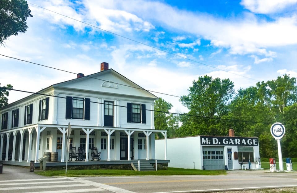
The access path passes Stanford House, a Greek Revival farmhouse built by James and George Stanford in 1843. At the falls, George Wallace built a sawmill in 1814; grist and woolen mills followed, and a village grew around them. Artists later came for the falls, too. Most of the village is gone, but the waterfall still explains why people settled here. The damp gorge supports moss and eastern hemlocks. In spring, temporary pools fill along the gorge and attract breeding salamanders; red maples bring a different look in fall.

Parking, facilities and footingStanford Trailhead is on Stanford Road, about half a mile north of Boston Mills Road.

Stanford Trailhead is on Stanford Road, about half a mile north of Boston Mills Road. The lot has 55 standard spaces plus horse-trailer parking. It has seasonal restrooms, a vault or composting toilet and a picnic table. The nearest restrooms and seasonal drinking water are at Brandywine Falls Trailhead by the destination. The unpaved trail is hilly and can be muddy; the steep steps and uneven ground make the full Stanford route unsuitable for wheelchairs. Dogs are allowed on a leash no longer than six feet.

Wildlife

Wildlife in Cuyahoga Valley

All Cuyahoga Valley wildlife maps

Sighting maps show where each species has been reported across Cuyahoga Valley. Wildlife moves, so no sighting is guaranteed.

Keep exploring

Near Stanford Trail

See it all on the map

Trails that start nearby

Places near the trailhead

Parkwolf’s Cuyahoga Valley ranking

Top-rated trails in Cuyahoga Valley

All 63 trails
  1. 1Ledges TrailModerate · 1.8 mi
  2. 2Brandywine Gorge LoopModerate · 1.4 mi
  3. 3Blue Hen Falls TrailModerate · 3 mi
  4. 4Beaver Marsh WalkEasy · 0.6 mi
  5. 5Ohio & Erie Canal Towpath TrailModerate · 19.8 mi
  6. 7Salt Run TrailModerate · 3.3 mi

Take Parkwolf to Cuyahoga Valley.

The audio tour guide for the drive, plus offline maps, trails, and wildlife heatmaps for when the signal drops.

4.7 from 8,600+ ratings

Download Parkwolf on the App StoreGet Parkwolf on Google Play