
Place · 0.1 mi away
Moderate
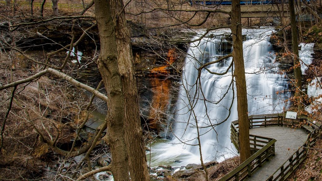
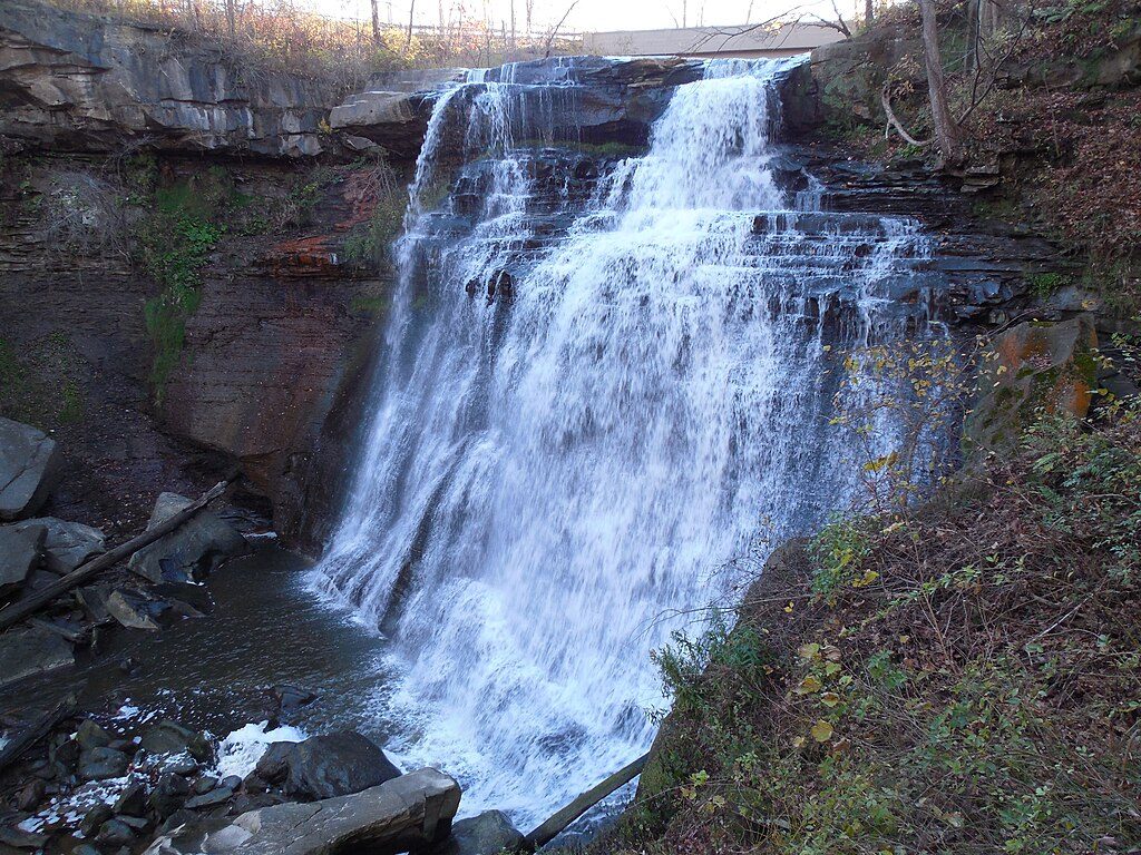
This popular 1.5-mile loop packs in big scenery for modest effort: a 65-foot waterfall, a mossy gorge, and classic Ohio bedrock on full display. Expect about 160 feet of elevation change on an unpaved, sometimes rocky path. Plan 1–2 hours if you linger at overlooks and the lower viewing deck.
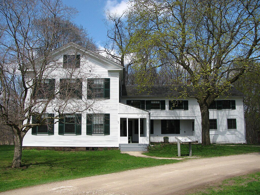
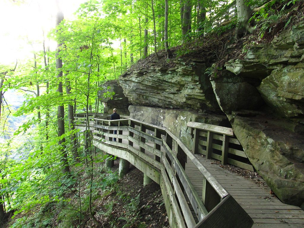
Start at the Brandywine Falls parking area and walk toward the boardwalk; just before it, turn left onto the dirt trail to begin a clockwise loop. You’ll descend into the gorge, cross a footbridge over Brandywine Creek, then climb out the far side. Keep bearing right at intersections. Near the end, you’ll pass the Inn at Brandywine Falls and cross above the falls before turning right at a small bulletin board to reach the upper viewing boardwalk and your car. For a head-on view, follow signs down roughly 80 steps to the lower platform.
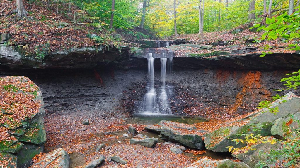
Brandywine Falls tumbles where hard Berea Sandstone caps softer Bedford Shale. Water undercuts the shale, causing blocks of sandstone to break away—look for those big boulders at the base. Springs at the contact can stain rock orange from iron. Along the gorge, you’ll spot multiple shale layers and a cool, mixed-hardwood forest with hemlock, oak, and maple adding color, especially in autumn.
This is one of the park’s busiest spots. Go early or late to dodge crowds; the lot is often full from late morning to mid-afternoon on fair-weather days. The area is open dawn to dusk. Boardwalks and rocks get slick after rain and can close during icy periods, which can limit waterfall access.
The upper boardwalk overlook is accessible from the lot without stairs, but the full loop is not wheelchair accessible. Restrooms and seasonal drinking water are available at the trailhead. Wear sturdy shoes—roots, rocks, and boardwalks can be slippery. Pets are permitted on leash, and staying on marked trails protects the fragile gorge habitat.
The Brandywine Falls lot is small with no overflow, so consider starting elsewhere to turn this into a longer, quieter outing. From Boston Mill Visitor Center it’s about 5.7 miles roundtrip via connectors with roughly 440 feet of cumulative elevation. From Boston Trailhead, plan about 5.5 miles and similar elevation; from Stanford Trailhead, about 4.0 miles roundtrip with roughly 400 feet of elevation. Bring water and a map for these longer approaches.
The loop includes a footbridge over Brandywine Creek. After storms or during projects, the bridge can be closed; if it’s out, treat the route as an out-and-back and skip risky rock-hops. Also, do not park on the roadway—enforcement is common.
Several nearby parks have their own “gorge” loops that aren’t in the national park. Make sure you’re headed to Brandywine Falls in Cuyahoga Valley if this loop is your goal.
Brandywine Falls Trailhead (8176 Brandywine Road). Small lot fills quickly; restrooms and seasonal water at the trailhead. No overflow—go early or late.
Rocks and boardwalks are slick when wet or icy; the gorge loop is not wheelchair accessible. The footbridge can be closed after storms—do not attempt creek rock-hops. Area open dawn–dusk; do not park along the roadway.
Place · 0.1 mi away
Place · 0.1 mi away
Place · 0.8 mi away
Place · 0.9 mi away
Easy · 0 mi away
Moderate · 0.9 mi away
Moderate · 1.3 mi away
Moderate · 1.3 mi away

Parkwolf Tour Guide
