Pros & cons
PROS
- Well-preserved ghost town ruins in a dramatic mountain setting
- Strenuous, scenic approach through a surprisingly lush canyon
CONS
- Access requires a tough 5–6 mile hike with significant elevation gain
- No services or facilities; fully self-supported backcountry visit
Overview
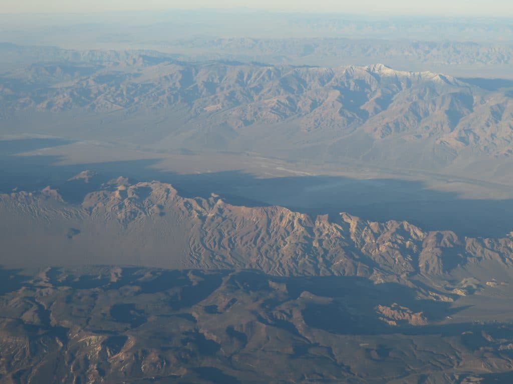
High in the Panamint Range, Panamint City is a remote ghost town of mining-era ruins set around 6,300 feet. It’s not a casual stop—reaching it is half the adventure—but the payoff is a remarkably intact slice of boomtown history in a wild mountain basin.
What You’ll See
Expect classic ghost town remnants: a towering brick smokestack from smelter days, stone foundations and walls, scattered mining equipment, and weathered cabins along the footprint of a mile-long main street. The setting is photogenic and moody, with broad views if you wander above town.
Getting There
There’s no driving to the site anymore. A vehicle gate below the canyon keeps it hike-in only. The route follows Surprise Canyon from Chris Wicht’s Camp near Ballarat—about five strenuous miles with a big climb (roughly 3,600–4,000 feet of gain), sections of scrambling, and frequent water along the creek. Plan on a rugged, backcountry day.
History
Born in 1873 on silver and copper strikes, Panamint City swelled to around 2,000 residents and earned a rowdy reputation with saloons, a red-light district, and frequent violence. A devastating 1876 flood shattered the boom. The ruins became part of the national park in 1994, and vehicle access up Surprise Canyon was later closed, preserving the hike-in character.
Nature & Wildlife
Surprise Canyon is a striking contrast to the desert below—waterfalls, flowing creek, and lush riparian growth. That greenery draws birds and small desert mammals, especially around the water. Tread lightly; it’s a sensitive corridor.
Best Time to Visit
Aim for cooler seasons and stable weather. Start early to bank miles in the shade and to manage the climb. Crowds aren’t really a thing here—only a trickle of hikers make it up each year—so weekdays vs. weekends won’t matter much. Always check forecasts; this canyon has a flood history, and storms can change conditions fast.

On-the-Ground Logistics
There are no services at the townsite—no food, store, or formal restrooms. Water can often be found from springs/creek near town, but you must treat it. Dispersed camping is common for backpackers, and a few informal cabins may provide basic shelter on a first-come basis. Bring everything you need and practice Leave No Trace.
Is It Worth It?
If you’re into rugged hikes, solitude, and frontier history, absolutely. For casual sightseers, the effort-to-reward ratio may feel steep. This is an immersive, backcountry ghost town, not a roadside stop.
Where it is
36.1183, -117.0953Tips for Panamint City
- 01Start from Chris Wicht’s Camp and plan for a steep, wet, and rocky hike up Surprise Canyon.
- 02Carry a reliable water filter—springs and the creek are common sources, but nothing is treated.
- 03Bring trekking poles and sturdy footwear; expect scrambling and creek crossings.
- 04For overnights, grab a free backcountry permit and pack for full self-sufficiency.
- 05Watch the weather and avoid storm windows—this canyon has a flood history.
Near Panamint City
All places →All trails →
3.6 mi awayTelescope PeakDesert high point with sweeping views from Badwater to WhitneyTrailhead · Parking
6 mi awayHanaupah CanyonRemote backcountry canyon with a spring, mining relics, and big viewsPullout · Parking
7.9 mi awayMahogany Flat CampgroundHigh, free basecamp for Telescope Peak with big viewsTrailhead · Restroom
7.9 mi awayTelescope Peak Trailhead ViewpointHigh-elevation trailhead with sweeping salt-to-Sierra viewsTrailhead · Restroom
8.9 mi awayWildrose Peak TrailShorter path to big Death Valley views from a historic trailheadChallenging · 8.4 mi · 5 hr
19.8 mi awayBadwater Basin Salt FlatsWalk the otherworldly salt polygons at North America’s lowest pointEasy · 1.9 mi · 33 min
19.8 mi awayBadwater Basin BoardwalkEasy stroll to surreal salt flats at North America's low pointEasy · 1 mi · 45 min
19.9 mi awayWillow Canyon TrailQuiet desert canyon to a rare seasonal waterfall and narrows.Moderate · 4.4 mi · 2.1 hr