Best time to visit
Aim for early morning to beat heat and nab parking, or late afternoon for that warm, glowing light on the walls. Weekends and mid‑mornings are busiest. Unless it’s winter, avoid midday—this place bakes.

#5 of 74 sights in Death Valley
Sight · Death Valley National Park
Golden badlands to Red Cathedral with a classic loop option
Overview
Golden Canyon is the park’s crowd-pleasing sampler: towering golden walls that light up a few hours after sunrise and again late in the day, tight bends in a winding wash, and a detour to the red fluted cliffs of Red Cathedral. It’s also a bit of pop culture—scenes from a certain galaxy far, far away were filmed here—so expect company on cooler days.
Map
Local know-how
Start at sunrise to beat crowds, heat, and parking pressure.
Bring at least 2 liters of water per person; there’s no water at the trailhead.
For photos, aim for late afternoon or a few hours after sunrise.
Follow the park’s classic direction: up Golden Canyon to Red Cathedral, across to Zabriskie Point, then down Gower Gulch.
If the lot is full, use the roadside overflow near the trailhead, and check conditions after rain.
Plan your stop

The highest, rockiest slopes around here are a summer buffet for grizzly bears.
Death Valley Tour Guide
Parkwolf is a GPS audio tour guide for Death Valley National Park. As you drive, it chimes in with what’s ahead: hidden gems, upcoming stops, history, geology, and wildlife, right through your car’s speakers.
See the Death Valley audio tourRecorded for this place
Golden Canyon's Famous Hike and Loop Trail“Up ahead is the parking area for Golden Canyon, one of the park’s most popular hikes. The trail winds up through a narrow canyon with towering golden walls on both sides.”
Plays as you drive up to Golden Canyon in the Parkwolf Death Valley Tour Guide.
More stories near here in the app
“Fantastic app with many points of information… It’s great to just turn on while you’re driving and it gives you an audio tour of the national Park. We love it!!!!”


Guide
Expect golden, yellow, and red walls, sculpted gullies, and the dramatic face of Red Cathedral. The badlands between Golden Canyon and Zabriskie Point feel like a maze, with constantly changing textures and color.
Most of the main corridor is straightforward walking, but the side trip to Red Cathedral involves some scrambling. This is a hot, exposed hike with little shade—bring more water than you think you’ll need and full sun protection. After rare rains, check for washouts or flash‑flood damage before committing to longer loops.
Wildlife isn’t a highlight here; sources focus on scenery and hiking. Think of this stop as a geology-and-views outing rather than a wildlife watch.
Wildlife
 71 sightingsBighorn SheepMost seen around 6 PMSighting map
 101 sightingsDesert TortoiseMost seen around 8 AMSighting map
 458 sightingsCoyoteMost seen around 6 PMSighting map
 28 sightingsFeral BurroMost seen around 5 PMSighting map
 30 sightingsMule DeerMost seen around 7 PMSighting map
 62 sightingsKit FoxMost seen around 7 PMSighting map
Sighting maps show where each species has been reported across Death Valley. Wildlife moves, so no sighting is guaranteed.
Keep exploring
 ModerateGolden Canyon to Red Cathedral3 mi · 1.8 hr · At the trailheadA 3-mile Golden Canyon out-and-back to the red walls of Red Cathedral.
 ModerateGolden Canyon and Gower Gulch Loop4.3 mi · 2.5 hr · At the trailheadModerate badlands loop linking Golden Canyon and Gower Gulch
 ModerateDesolation Canyon Trail3.6 mi · 2.5 hr · 1.8 mi awayColor-drenched badlands and a quiet canyon with easy scrambles
 ChallengingZabriskie Point to Golden Canyon7.8 mi · 4.5 hr · 1.9 mi awayStrenuous 7.8-mile loop from Zabriskie Point through Gower Gulch and Golden Canyon
 ModerateBadlands Loop (Zabriskie Point)2.7 mi · 1.8 hr · 1.9 mi awayA 2.7-mile moderate loop through colorful badlands below Zabriskie Point.
 EasyZabriskie Point Overlook Trail0.3 mi · 8 min · 2 mi awayA short paved out-and-back from the Zabriskie Point parking area to Death Valley's iconic badlands overlook.
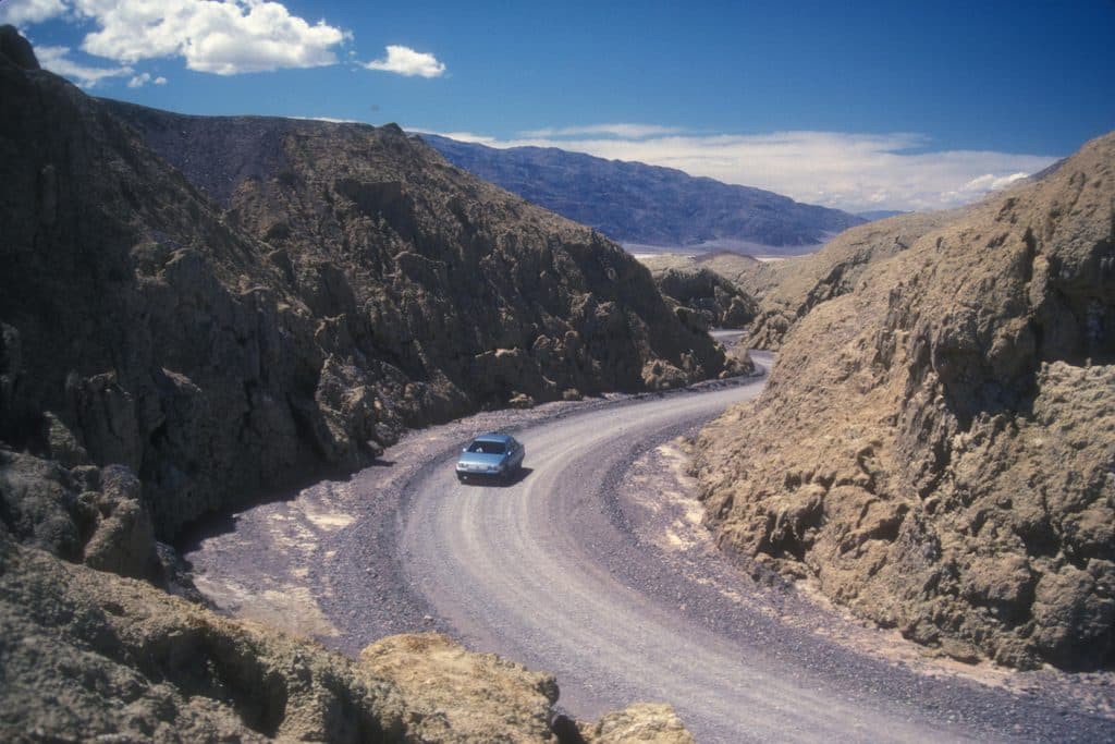 EasyMustard Canyon Loop1.3 mi · 30 min · 4.3 mi awayOne-way drive through mustard-colored badlands from Harmony Borax Works to CA-190
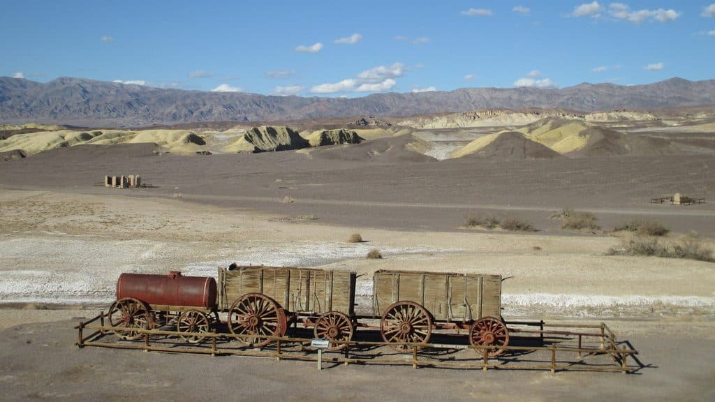 EasyHarmony Borax Works Interpretive Trail0.4 mi · 30 min · 4.4 mi awayA short paved loop through the ruins and stories of Death Valley’s Harmony Borax Works.
 Sight · 0.8 mi awayGower GulchBadlands canyon with dryfalls, color, and a classic loop finish
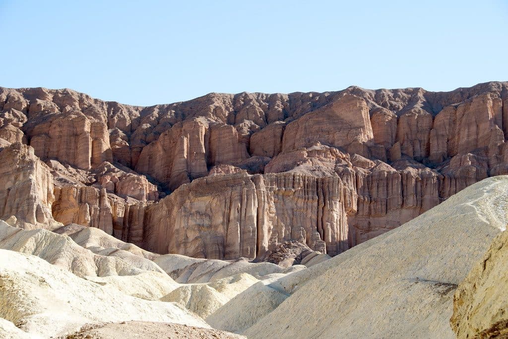 Sight · 0.9 mi awayRed CathedralFluted crimson walls capping Golden Canyon with a fun scramble
 Sight · 1.1 mi awayManly BeaconA sharp badlands spire near Zabriskie Point’s trails
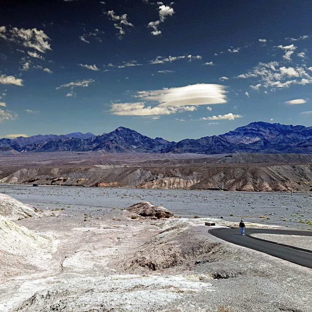 Sight · 1.9 mi awayZabriskie PointSignature badlands vista that lights up at sunrise
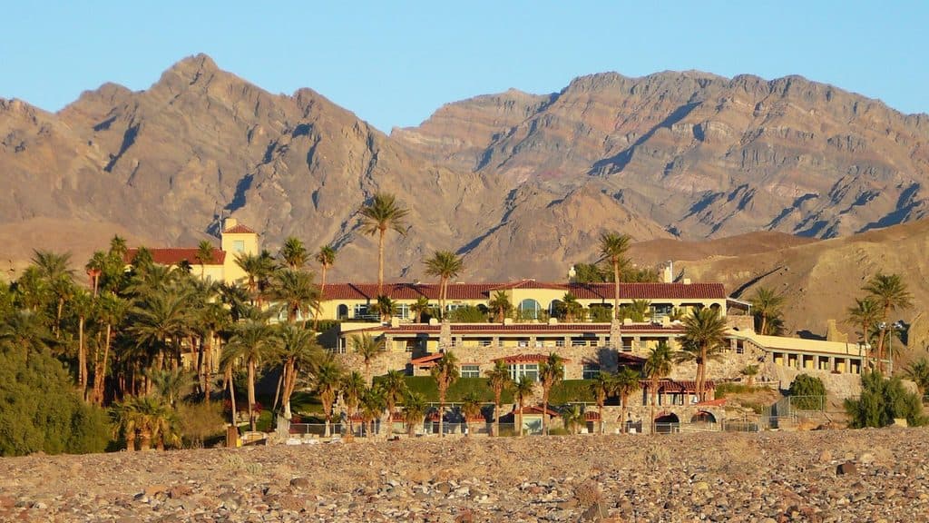 Lodging · 2 mi awayInn at Death ValleyHistoric desert oasis with a spring‑fed pool and starry skies
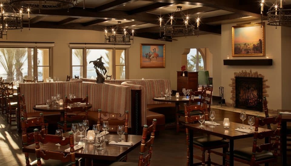 Restaurant · 2 mi awayThe Inn Dining RoomHistoric fine dining with terrace views of salt flats and peaks
 Sight · 2.1 mi awayDesolation CanyonColorful, quiet badlands hike with late-afternoon glow and big views
 Sight · 2.4 mi awayMushroom RockHidden roadside pedestal rock with a storied past
Parkwolf’s Death Valley ranking

The audio tour guide for the drive, plus offline maps, trails, and wildlife heatmaps for when the signal drops.