
Place · 2.6 mi away
Easy
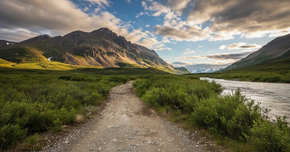
This short, easy out-and-back follows a hardened four‑wheeler track across open alpine tundra to Landmark Gap Lake. Expect sweeping vistas, glacier‑carved terrain, and interpretive stops tied to one of the most archaeologically rich areas in Alaska. It’s about 3 miles one way (roughly 6 miles total) with minimal elevation gain, making it a friendly first hike along the Denali Highway.
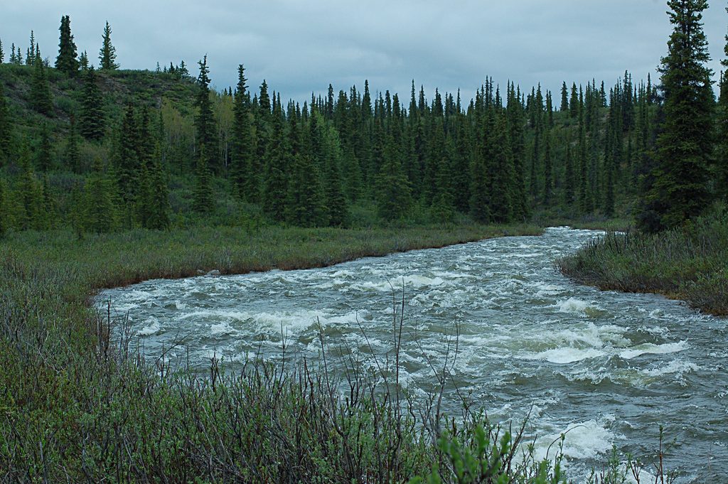
The tread is wide, mostly dry and rocky, with one marshy section that can be slick when wet. Small rises open to big views of the river draining the gap and the lake itself—prime spots to linger for photos. The route is multi‑use: hikers share the track with mountain bikes and four‑wheelers, so keep your head up and ears open. Families will appreciate the gentle grade; most hikers reach the lake in about an hour and return the same way.
You’re walking through classic alpine tundra shaped by ancient glaciers—look for low vegetation, eskers, and broad gravelly ridges. This is also a wildlife corridor: the Nelchina caribou herd moves through the area, and you might spot moose, fox, and tundra birds. The trail sits within the Tangle Lakes Archaeological District, with informational signboards explaining the deep human history here. Enjoy the exhibits, but leave rocks and soil undisturbed. The river and lake offer fishing opportunities for grayling and lake trout near the outflow—bring a rod if that’s your thing and follow current regulations.
Summer (June–September) offers the most reliable access, long daylight, and manageable water and mud. Shoulder seasons can work with proper layers and waterproof footwear, but expect colder, faster‑changing weather. Mosquitoes can be fierce in midsummer—pack repellent. Aim for early or late in the day for softer light on the lake and fewer users.
Wear sturdy, waterproof boots for the rocky and occasionally marshy stretches. Weather turns fast on the tundra—carry layers and be self‑sufficient. Bring bear spray and practice wildlife etiquette. If you’re biking, note that rocks can be slick when wet. For an easy taste of Denali Highway scenery paired with genuine cultural context, this is a worthwhile stop.
Trailheads are just east of Rock Creek Bridge at milepost 24.6–24.7 on the Denali Highway (north side for this route).
Limited or no cell coverage; rapidly changing tundra weather; multi‑use traffic including ATVs; slippery rocks and a marshy section when wet; aggressive mosquitoes in summer; do not disturb archaeological sites.
Place · 2.6 mi away
Place · 3 mi away
Place · 3.3 mi away
Place · 4 mi away
Moderate · 3.3 mi away
Challenging · 7.4 mi away
Challenging · 13.8 mi away
Easy · 63.1 mi away

Parkwolf Tour Guide
