Parking
Use the improved trailhead access and surface parking area on the south side of Denali Highway at MP 16.2. Lot capacity, fees and amenities are not verified.

#9 of 18 trails in Denali Highway
Denali Highway, AK
A six-mile out-and-back on the shared Swede Lake track
Overview
Map & elevation
Plan your hike

The highest, rockiest slopes around here are a summer buffet for grizzly bears.
Denali Highway Tour Guide
Parkwolf is a GPS audio tour guide for Denali Highway. As you drive, it chimes in with what’s ahead: hidden gems, upcoming stops, history, geology, and wildlife, right through your car’s speakers.
See the Denali Highway audio tourRecorded for this trailhead
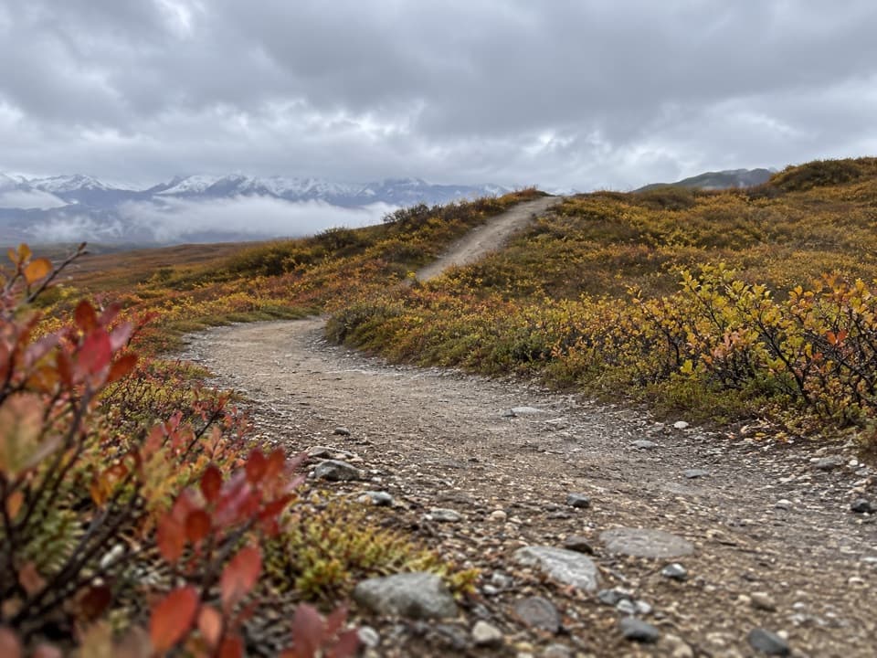
Swede Lake Trail: A Walk Short of the Shore“You're approaching the access for Swede Lake Trail, a rolling route used mostly by ATVs. On foot, allow about three hours for the six-mile return, with ruts and muddy stretches after rain.”
Plays as you drive up to this trailhead in the Parkwolf Denali Highway Tour Guide.
More stories near here in the app
“Fantastic app with many points of information… It’s great to just turn on while you’re driving and it gives you an audio tour of the national Park. We love it!!!!”


Trail guide
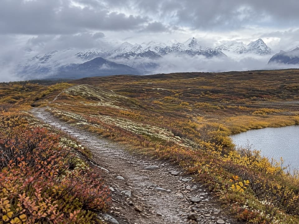
Swede Lake Trail is an approximately 6.2-mile out-and-back on the designated track from the improved access south of Denali Highway MP 16.2 to the north-end approach of Swede Lake. Follow the route south for about 3.1 miles, then return the same way; allow around three hours. The sampled corridor rolls rather than climbing steadily, with roughly 430 feet of accumulated ascent over the return walk by elevation-model estimate. This is a multi-use track used mostly by motorized visitors, so expect ATVs and give them room.
The BLM trail map describes about 3 miles to the northern end of Swede Lake, then roughly 7 more miles south to the Middle Fork Gulkana and another half-mile to the Alphabet Hills Trail. The route line here covers the lake approach only. It ends roughly 0.3 mile east of mapped lake water, and no connecting footpath to the shoreline is verified. Do not use this line to navigate the longer river continuation; check current BLM mapping before attempting it. Stay on designated trails in the river corridor.
The route passes through the Tangle Lakes Archaeological District, an area rich in historic and prehistoric remains. People have used the district’s trails since the Ice Age; Athabaskan hunters traveled them in search of caribou, and miners later used the same trail network. Keep to the designated track and do not pioneer new trails or disturb archaeological sites.
Wildlife
 56 sightingsMooseMost seen around 7 PMSighting map
 37 sightingsCaribouMost seen around 8 PMSighting map
 26 sightingsBald EagleMost seen around 11 AMSighting map
 33 sightingsTrumpeter SwanMost seen around 7 PMSighting map
 25 sightingsBeaverMost seen around 9 PMSighting map
 17 sightingsPorcupineMost seen around 10 PMSighting map
Sighting maps show where each species has been reported across Denali Highway. Wildlife moves, so no sighting is guaranteed.
Keep exploring
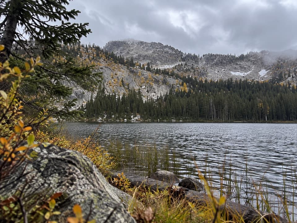 ChallengingUpper Dickey Lake Trail32.3 mi · 1.1 days · At the trailheadRemote 32-mile out-and-back to an undeveloped camp near Dickey Lake.
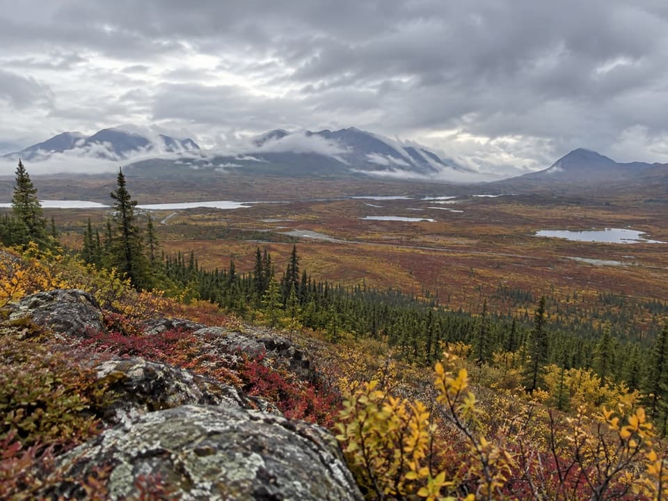 ChallengingSwede Mountain Trail1.8 mi · 2 hr · 2.9 mi awayA steep climb to broad views over the Tangle Lakes.
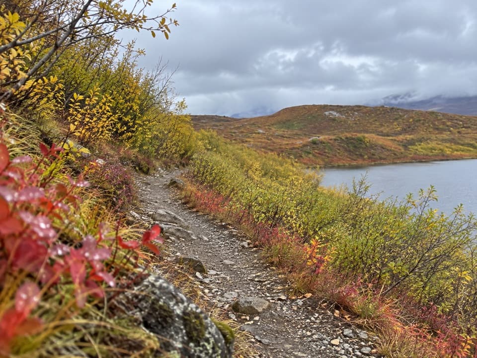 EasyTangle Lakes Foot Trail1 mi · 30 min · 4.1 mi awayClimb an esker for a quick, wide look over the Tangle Lakes.
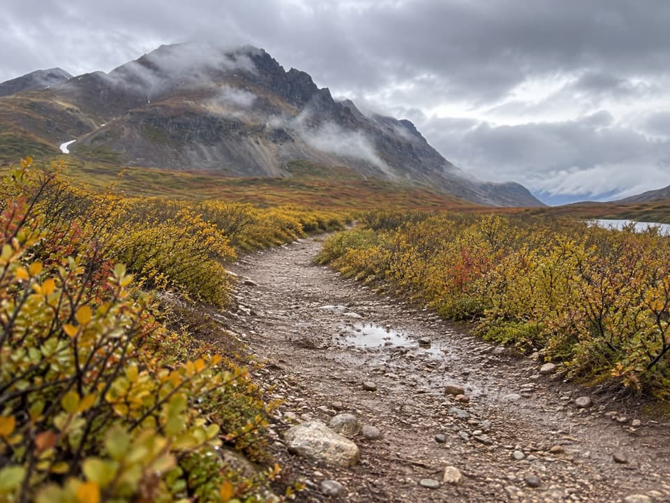 EasyLandmark Gap Trail North5.1 mi · 2.5 hr · 7.4 mi awayA gentle track to Landmark Gap Lake and its grayling pools.
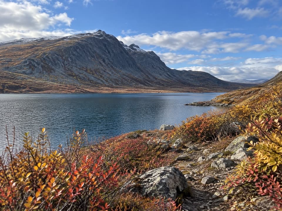 ChallengingGlacier Gap Lake to Sevenmile Lake Trail17 mi · 9 hr · 12 mi awayA cold creek crossing opens into two high tundra lakes.
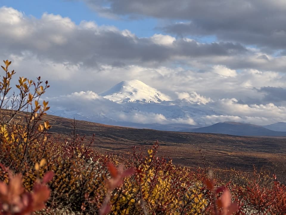 Sight · 2.9 mi awayWrangell Mountain ViewpointThree Wrangell peaks line up beyond a wide, brushy basin.
 Lodging · 3.3 mi awayTangle River InnA mile-20 roadhouse looking across Round Tangle Lake and Landmark Gap.
 Campground · 4.2 mi awayTangle Lakes CampgroundA lakeside camp that doubles as the Delta River's 30-mile put-in.
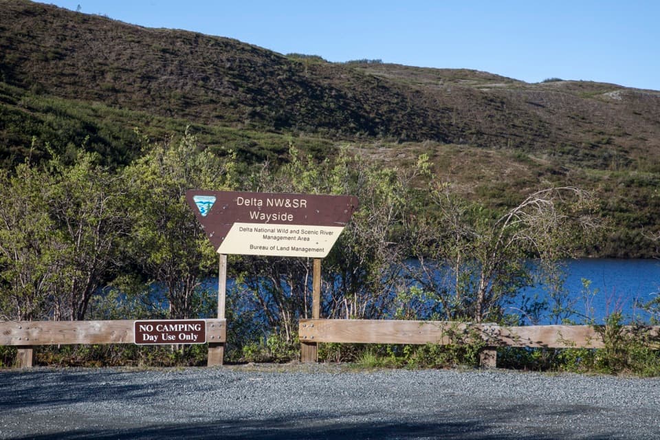 Picnic area · 4.6 mi awayDelta Wild and Scenic River WaysideA Tangle Lakes picnic stop with a launch for longer canoe trips.
 Lodging · 5.1 mi awayTangle Lakes LodgeMeals, groceries, and a lakeside cabin in one remote stop.
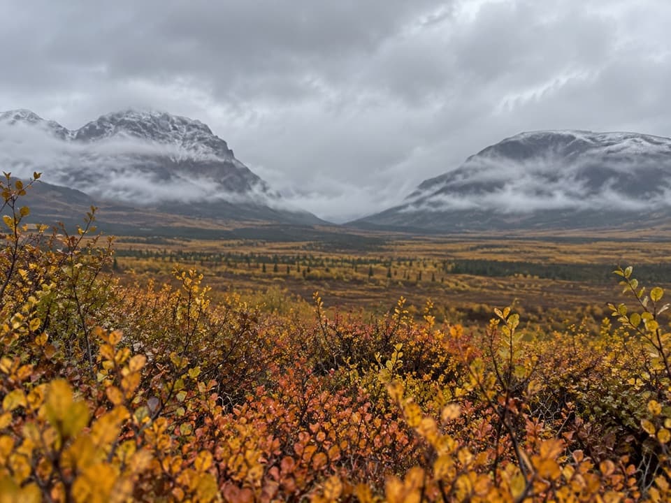 Sight · 5.6 mi awayLandmark Gap ViewA 10,000-year-old glacial gap frames McGinnis Peak and Mount Moffit.
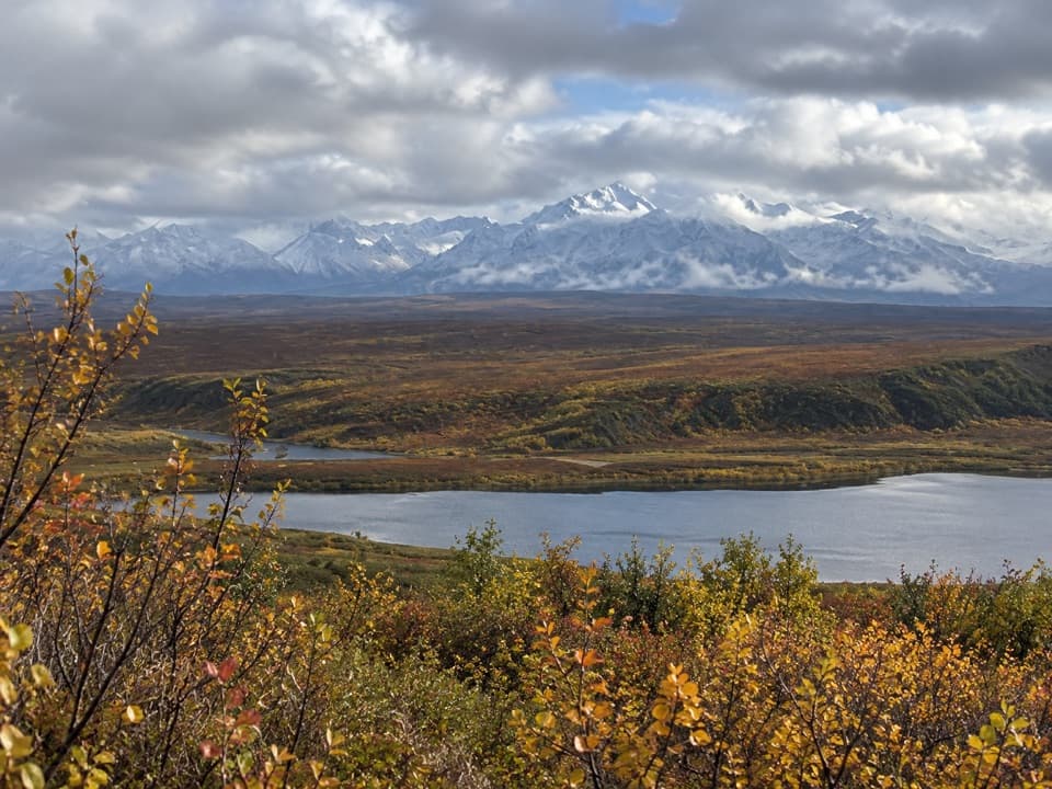 Scenic pullout · 8.5 mi awayAlaska Range WaysideA quick stop for glaciers above Sevenmile Lake.
Parkwolf’s Denali Highway ranking

The audio tour guide for the drive, plus offline maps, trails, and wildlife heatmaps for when the signal drops.