
Place · 0 mi away
Moderate
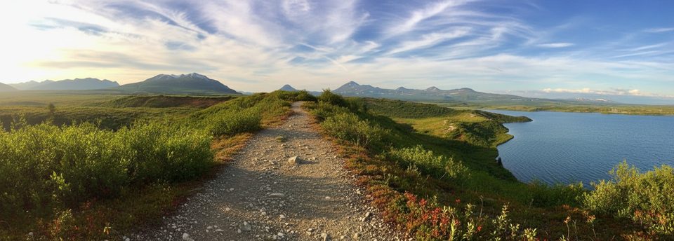
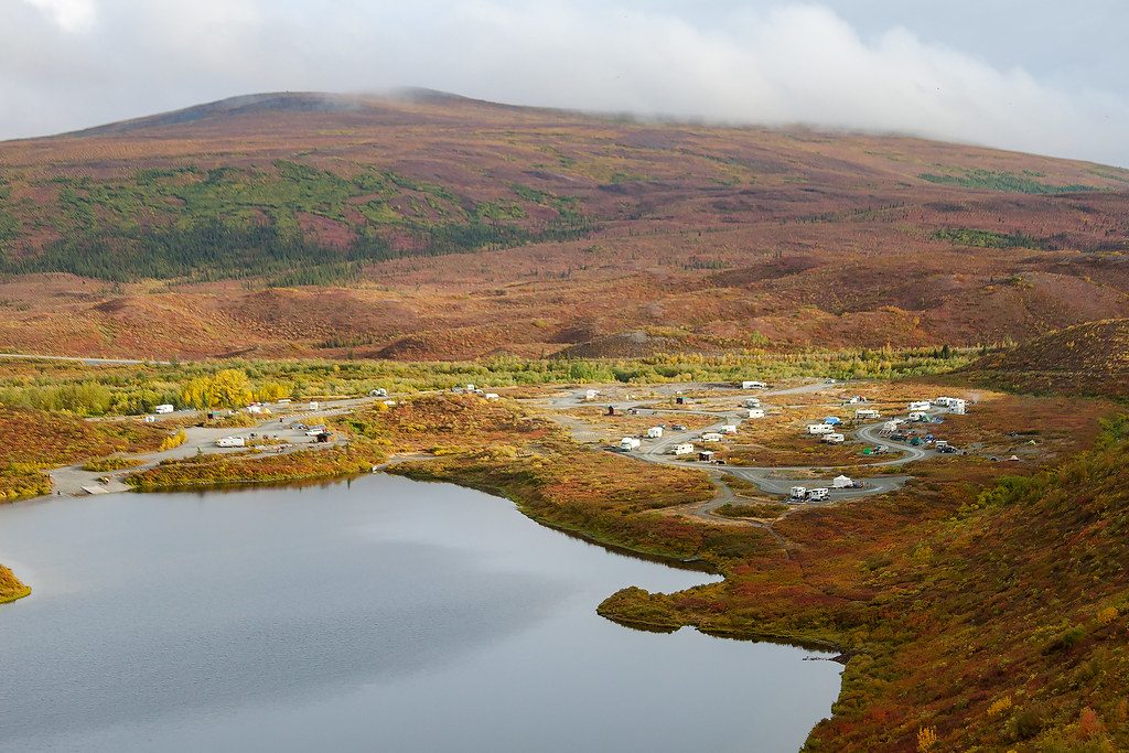
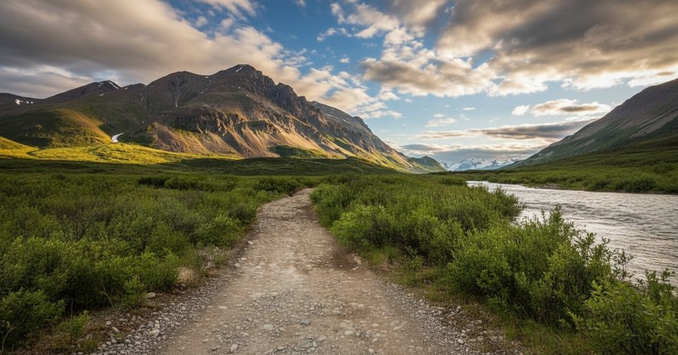
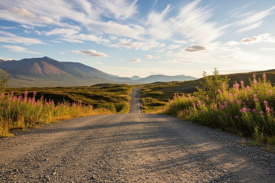
Starting near the Tangle Lakes BLM Campground around mile 21.5 of the Denali Highway, this is a straightforward out-and-back up a tundra ridge with outsized payoff. Most hikers head to the main ridge and back for about 4 miles total; you can keep roaming the eskers if you want more. Expect a steady initial climb, then broad, above‑treeline walking with constant sightlines across the Tangle Lakes basin, the Delta River, and—on a clear day—the distant Alaska Range.
Underfoot, it’s a mix of dry tundra, packed dirt, and occasional muddy patches, especially after rain where off‑road vehicles have chewed up the lower approach. The tread gets fainter up high, but the landscape is open and intuitive—just mind the weather. You’ll have solitude compared to Alaska’s marquee trails; this corner of the Denali Highway stays quiet even in midsummer.
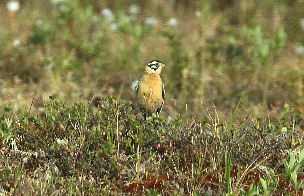
This is classic Interior Alaska: elevated tundra, wide skies, summer wildflowers, and sinuous glacial eskers that make for natural viewpoints over Round Tangle Lake and the Delta River. Keep an eye out for migratory birds along the water, and—with luck—caribou moving over the open country. Late summer can bring blueberry snacking right off the hillside.
Aim for late June through early September for snow‑free travel, flowers, and (usually) fewer mosquitoes than early summer. The highway typically closes from October into mid‑May, so plan on a short season. Go early or late in the day for softer light and calmer winds. Bring layers—wind and fast‑moving fog are part of the deal above treeline.
Waterproof boots and a pair of poles make the muddy bits a non‑issue. Navigation is simple in clear weather, but signage can be sparse—carry a map or GPS and don’t rely on cell service. This ridge sits within an archaeological district; stay on established paths and durable surfaces to protect fragile tundra and cultural sites. The campground at the trailhead is a handy base if you want to linger.
About 4.0 miles round trip to the common ridge turnaround, with a moderate climb up front and easy cruising on top. Add mileage as you wander the eskers—your day is as long as you make it.
Park at the Tangle Lakes BLM Campground along the Denali Highway; the trail begins near the campground.
Above‑treeline exposure to wind and fast fog; muddy sections; limited cell service; stay on paths to protect fragile tundra and archaeological sites; highway access is seasonal.
Place · 0 mi away
Place · 0.9 mi away
Place · 1 mi away
Place · 2 mi away
Easy · 3.3 mi away
Challenging · 4.2 mi away
Challenging · 17.1 mi away
Easy · 66.3 mi away

Parkwolf Tour Guide
