
Place · 0 mi away
Challenging
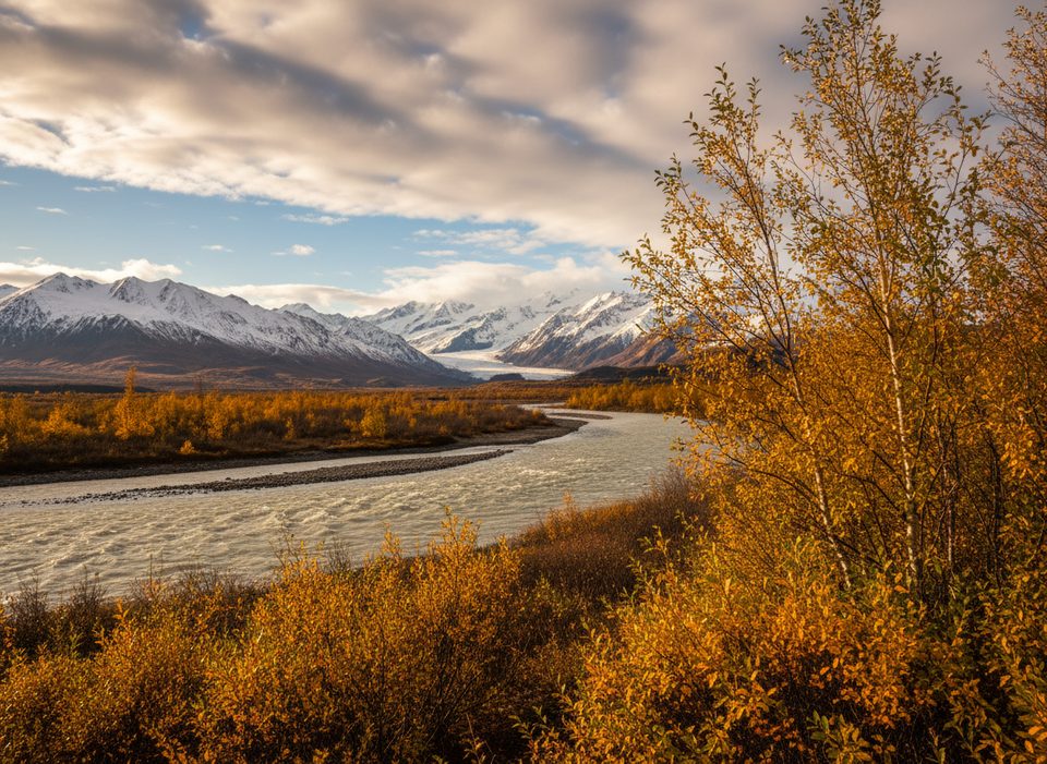
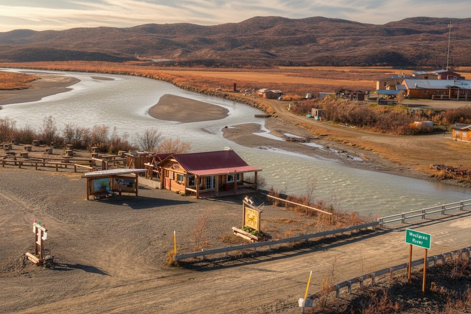
If you’re chasing an authentic Interior Alaska adventure, this route to Maclaren Glacier delivers. It’s not a signed, groomed trail; it’s a backcountry approach typically staged from Maclaren River Lodge on the Denali Highway. Most parties arrange an upriver boat drop, then hike across tundra, gravel bars, and moraine to reach the glacier. Expect solitude, sweeping valley views, and that huge wall of ancient ice anchoring the scene.
The common play: park at Maclaren River Lodge (mile 42 of the Denali Highway), book an upriver boat shuttle, and start hiking from the lodge’s drop point toward the glacier. Distance varies with the river drop and seasonal glacier position, but plan on roughly 9 miles one way to the ice. Many hikers turn it into a mini‑expedition—hike to the glacier, then canoe the Maclaren River back to the lodge. There’s no marked loop here; it’s a choose‑your‑own‑line backcountry route.
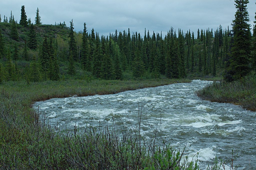
This is classic Alaska Range country: broad, open tundra giving way to braided river flats and glacial moraine. On clear days, the skyline can include big Interior peaks (Mount Hayes among them from highway viewpoints), and the Maclaren River braids shimmer below the ice. Keep your eyes peeled for moose and caribou moving across the open country and birds cruising the lakes and river corridors.
Don’t let the lack of big elevation gain fool you—travel is slow and committing. You’re walking off‑trail on tundra, cobbles, and sometimes boggy patches, then negotiating uneven moraine near the terminus. One way to the glacier commonly takes 4–6 hours on foot. Add a few hours if you paddle the river back. Weather can change fast, and there’s little shelter from wind or sun.
Aim for late June through September. Early summer brings mosquitoes; mid‑ to late summer is prime with long days, and fall lights up the tundra with color (and cooler, often steadier conditions). Shoulder seasons can linger with snow, and river/ice conditions dictate how close you can safely get to the glacier. Winter travel here is a different, snowmachine‑based world and not the scope of this hike.
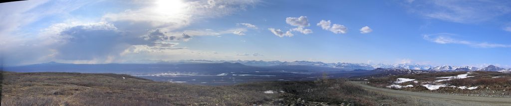
Book the shuttle and (if desired) canoe logistics with the lodge ahead of time. Wear waterproof footwear—wet ground is common—and bring layers, wind protection, and sun protection for this exposed route. Carry bear spray and give wildlife ample space. Follow posted regulations; portions of the broader area have controlled‑use rules—stay on established routes where required and respect sensitive tundra and cultural sites. If you want the glacier experience without the commitment, highway pullouts near Maclaren Summit offer striking glacier views from the road.
Park at Maclaren River Lodge on the Denali Highway (mile 42) and stage from there for the upriver shuttle.
Remote, unsignposted backcountry travel with variable river and moraine conditions; little shelter from weather. Expect mosquitoes early season, wet/boggy ground, and glacier hazards. Follow posted controlled‑use rules and stay on designated routes where required.
Place · 0 mi away
Place · 3 mi away
Place · 3.7 mi away
Place · 12.2 mi away
Easy · 13.8 mi away
Moderate · 17.1 mi away
Challenging · 21.2 mi away
Easy · 49.2 mi away

Parkwolf Tour Guide
