
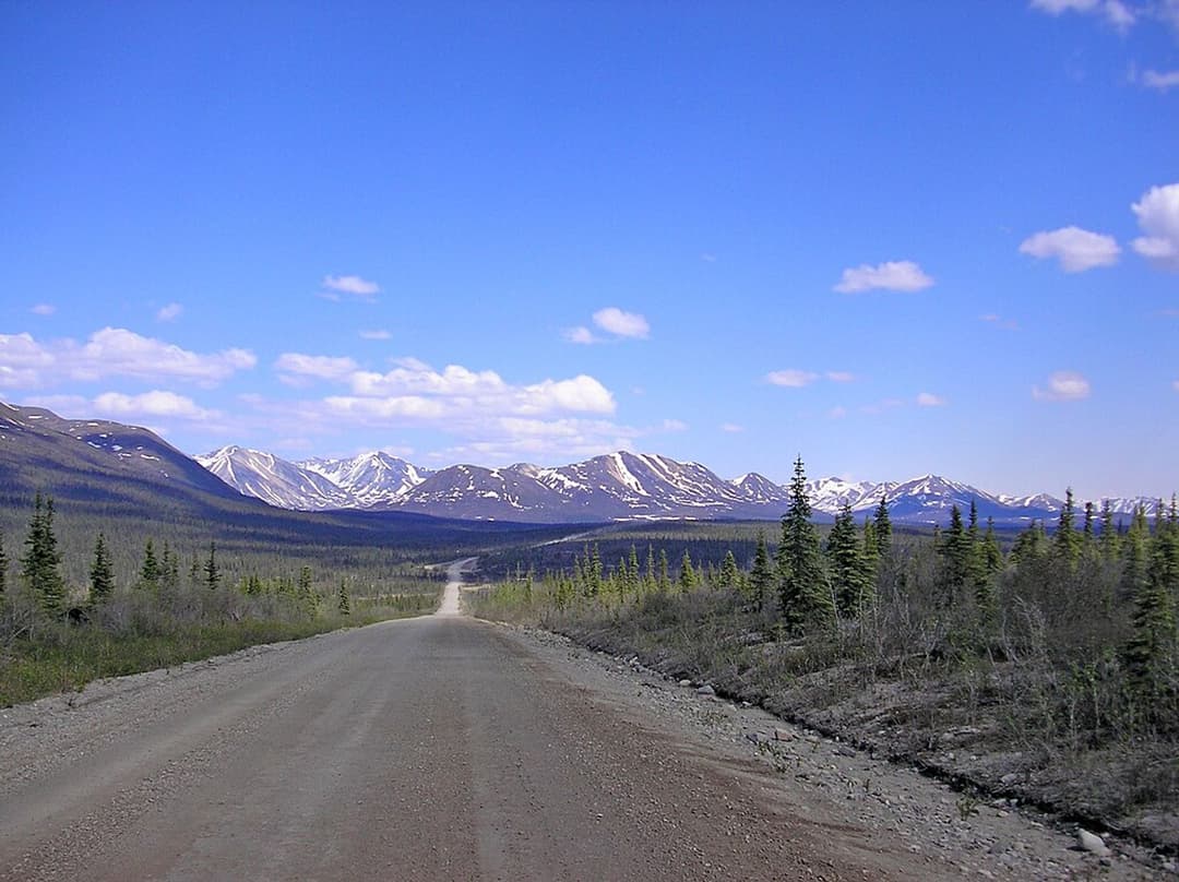
Parkwolf’s Denali Highway ranking
Top sights in Denali Highway
 1SightMaclaren SummitA high tundra pass with sweeping Alaska Range and river-valley views.
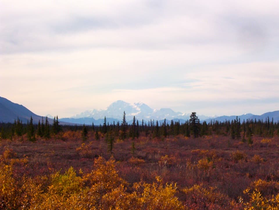 2SightDenali ViewpointClear skies reveal Denali's outsize rise above the land.
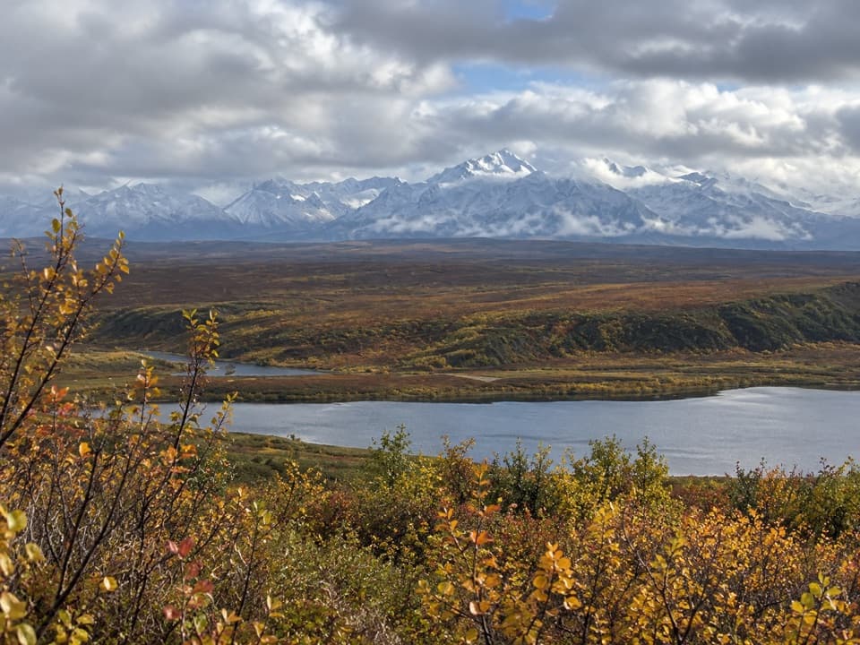 3Scenic pulloutAlaska Range WaysideA quick stop for glaciers above Sevenmile Lake.
 4Scenic pulloutMaclaren Glacier ViewpointA quick river stop with a glacier about 16 miles away.
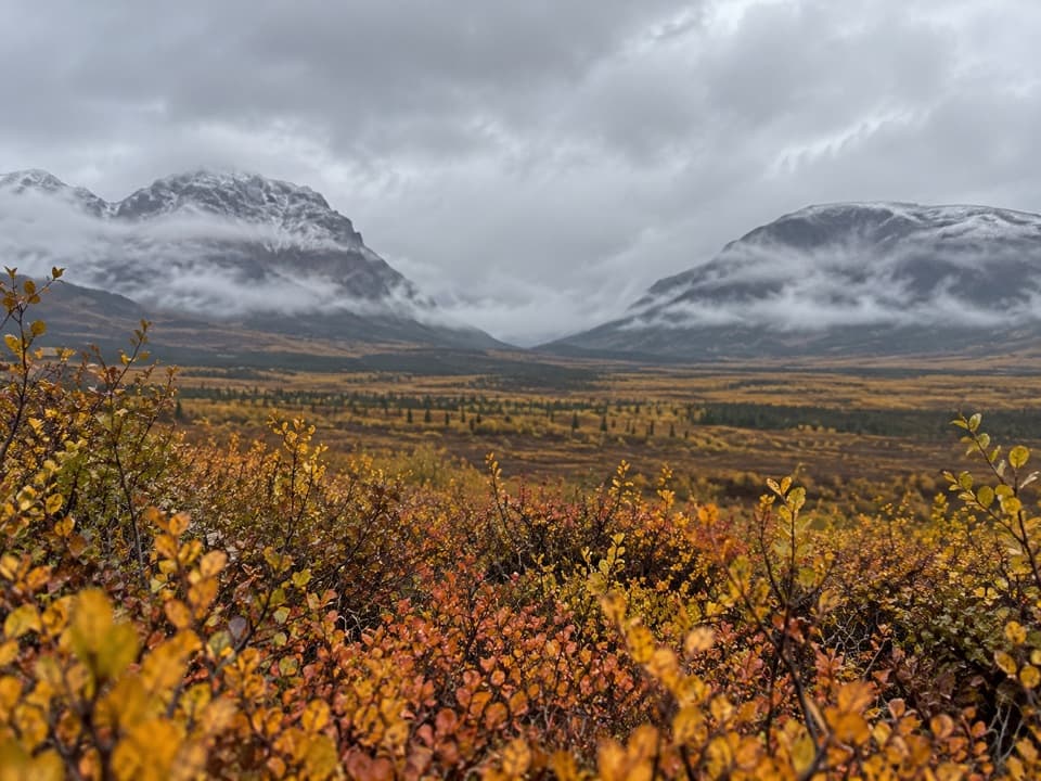 5SightLandmark Gap ViewA 10,000-year-old glacial gap frames McGinnis Peak and Mount Moffit.
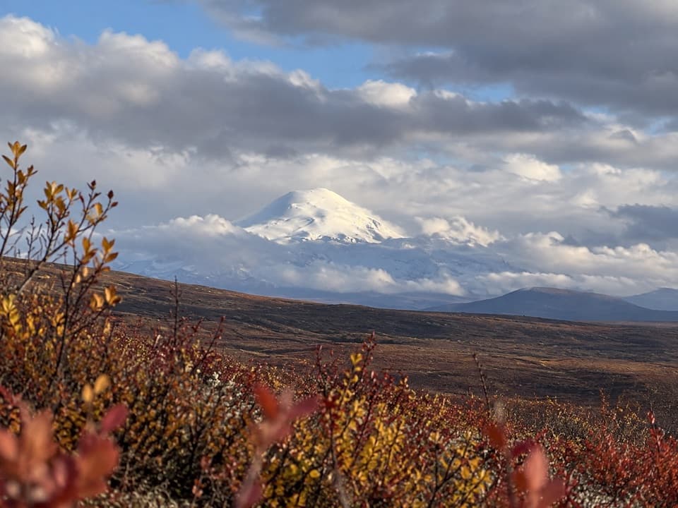 6SightWrangell Mountain ViewpointThree Wrangell peaks line up beyond a wide, brushy basin.
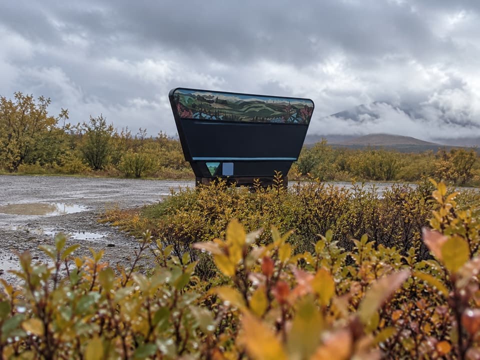 7Scenic pulloutClearwater Creek WaysideA creekside pause with a pit toilet on the long gravel drive.
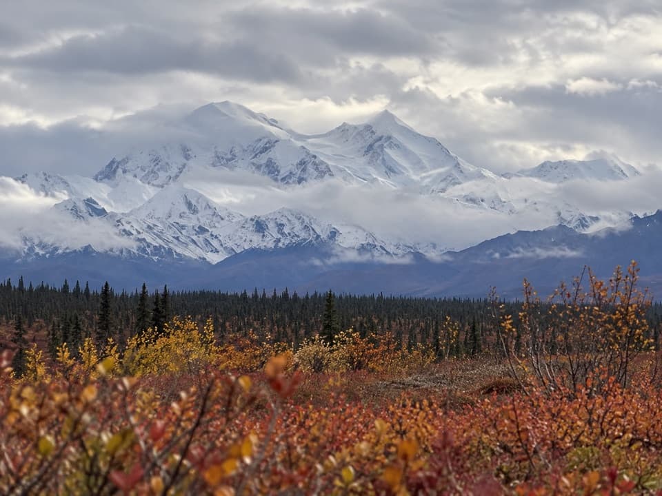 8Scenic pulloutAlaska Range Interpretive OverlookA broad Alaska Range panorama off an unmarked gravel turnoff.
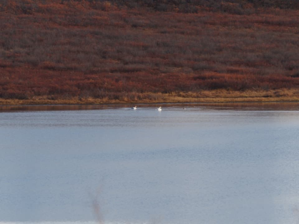 9Scenic pulloutWaterfowl Lakes ViewpointA roadside scan for swans, ducks and other lake birds.
Hiking
Top trails in Denali Highway
- 3 easy
- 7 moderate
- 8 challenging
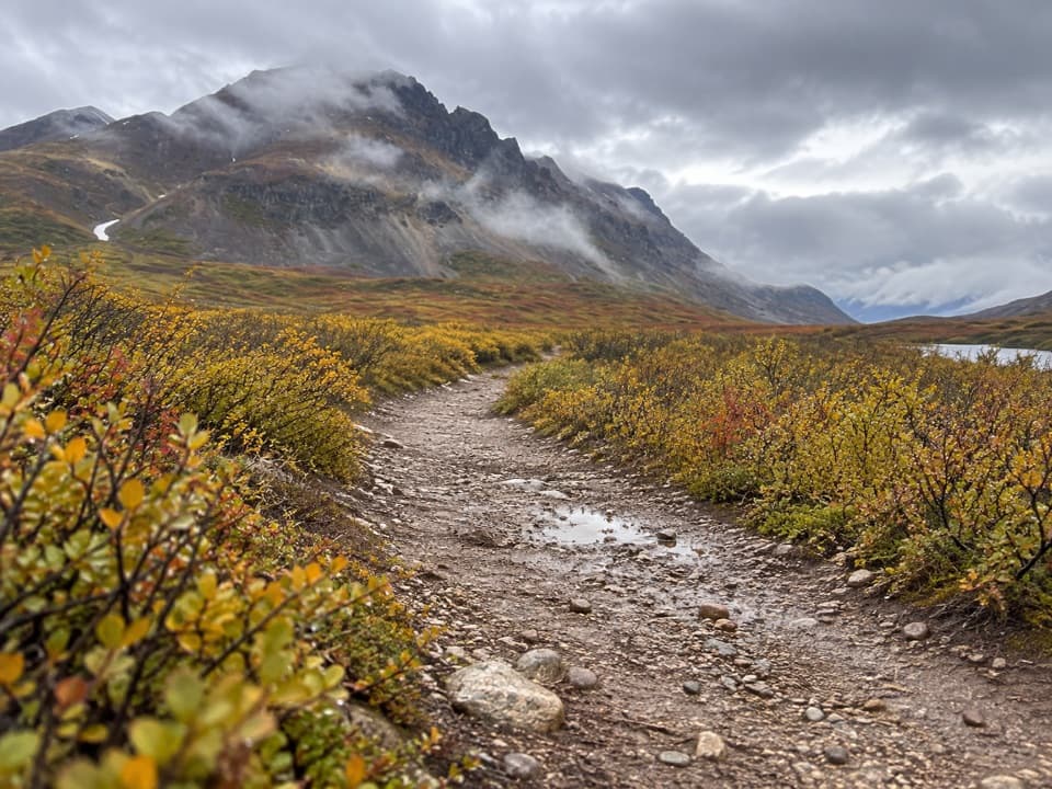 EasyLandmark Gap Trail North5.1 mi · 2.5 hrA gentle track to Landmark Gap Lake and its grayling pools.
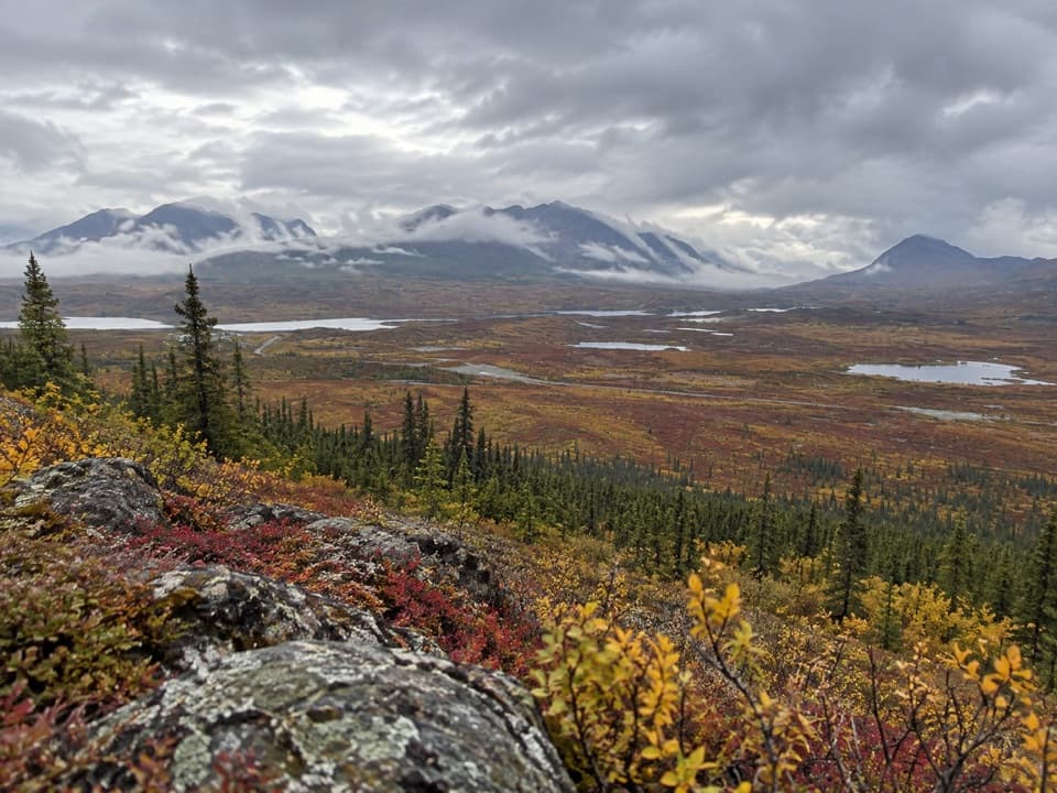 ChallengingSwede Mountain Trail1.8 mi · 2 hrA steep climb to broad views over the Tangle Lakes.
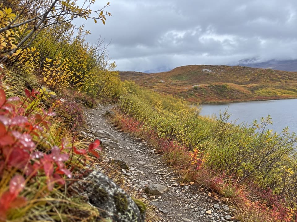 EasyTangle Lakes Foot Trail1 mi · 30 minClimb an esker for a quick, wide look over the Tangle Lakes.
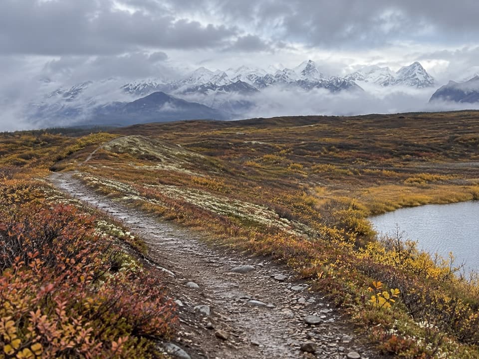 ChallengingMaclaren Summit Trail19 mi · 10 hrA full-day tundra hike to Sevenmile Lake with Alaska Range views.
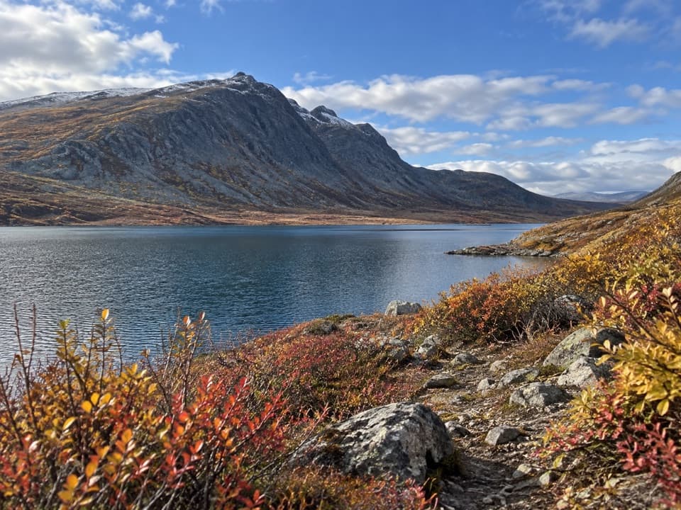 ChallengingGlacier Gap Lake to Sevenmile Lake Trail17 mi · 9 hrA cold creek crossing opens into two high tundra lakes.
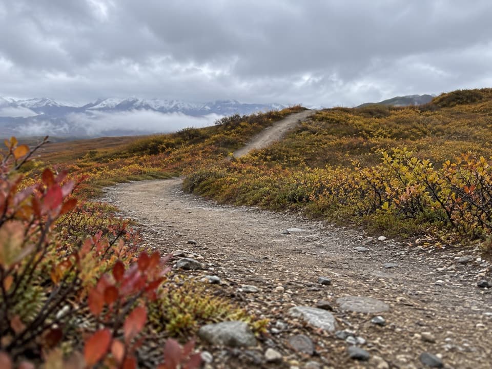 ModerateOsar Lake Trail14.2 mi · 8 hrA long esker walk to the northwest shore of Osar Lake.
 ChallengingMaclaren River Trail16.3 mi · 9 hrA long ATV track into the Maclaren River valley
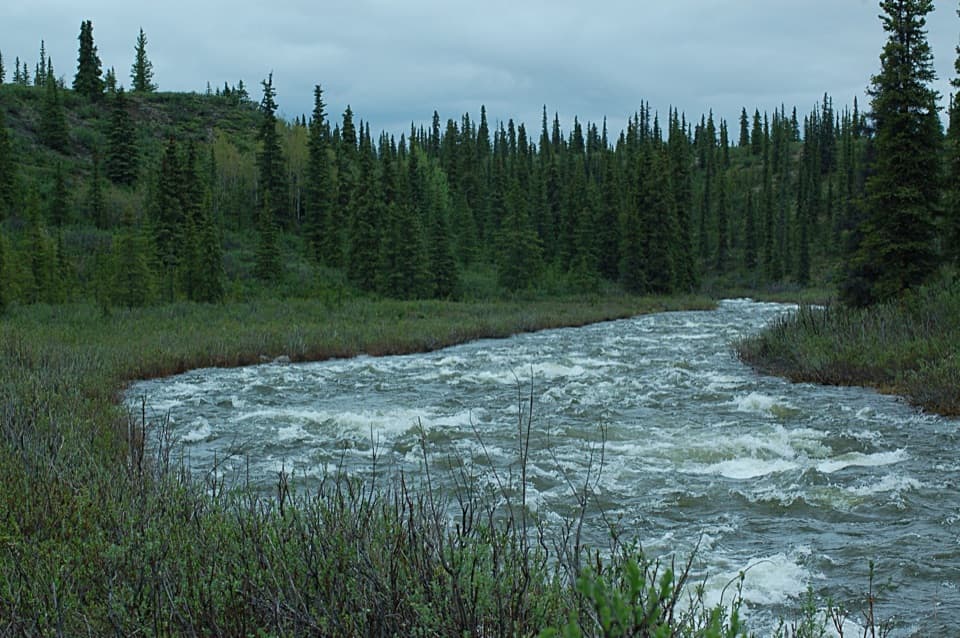 ModerateBrushkana Creek Trail3.7 mi · 3 hrA rough benchland track leads toward the creek’s historic crossing.

The highest, rockiest slopes around here are a summer buffet for grizzly bears.
Denali Highway Tour Guide
Denali Highway, narrated.
Parkwolf is a GPS audio tour guide for Denali Highway. As you drive, it chimes in with what’s ahead: hidden gems, upcoming stops, history, geology, and wildlife, right through your car’s speakers.
See the Denali Highway audio tourRecorded for this place
Maclaren Summit: A Short Walk Above the Valley0:00 / 0:30
“You're approaching Maclaren Summit, where the road crests at about four thousand feet above the Maclaren River valley. In clear weather, look for Mount Hayes rising beyond the river and Maclaren Glacier in the distance.”
Plays as you drive up to Maclaren Summit in the Parkwolf Denali Highway Tour Guide.
More stories near here in the app
- Why Moving Ice Cracks
- A Flagpole High on Denali
- Why Tundra Plants Hug the Ground
- Spinning for Supper
- 96 audio storiesacross Denali Highway’s roads, triggered by GPS as you drive
- Wildlife heatmapsfor Moose, Caribou, Bald Eagle, and 10 more
- Works offlinemaps, 18 trails, 27 places, and audio download before you lose signal
- CarPlay readysimple controls built for the drive
“Fantastic app with many points of information… It’s great to just turn on while you’re driving and it gives you an audio tour of the national Park. We love it!!!!”


Map
The whole park, on one map
Loading the Denali Highway map
Full mapPlan your visit
Before you go
Wildlife
Wildlife in Denali Highway
 56 sightingsMooseMost seen around 7 PMSighting map
 37 sightingsCaribouMost seen around 8 PMSighting map
 26 sightingsBald EagleMost seen around 11 AMSighting map
 33 sightingsTrumpeter SwanMost seen around 7 PMSighting map
 25 sightingsBeaverMost seen around 9 PMSighting map
 17 sightingsPorcupineMost seen around 10 PMSighting map
Sighting maps show where each species has been reported across Denali Highway. Wildlife moves, so no sighting is guaranteed.