Overview
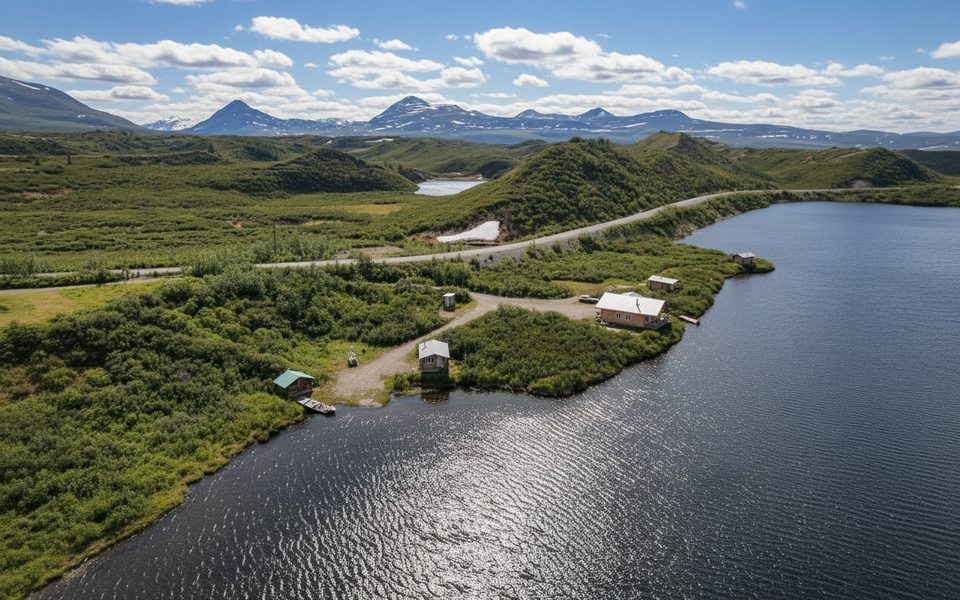
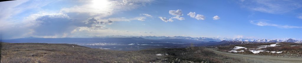
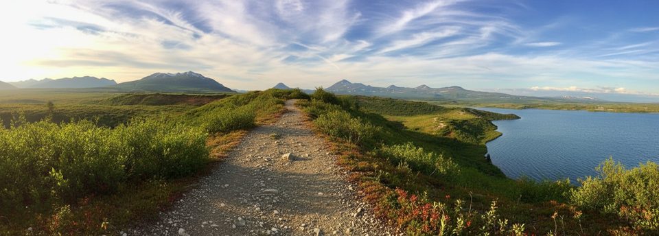
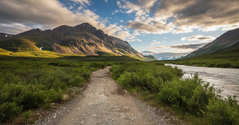
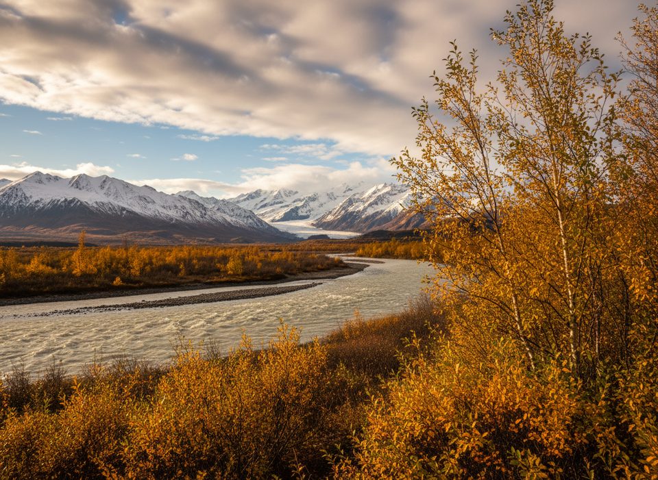
Tangle Lakes is a chain of shallow, windswept lakes right off Mile 21–22 of the Denali Highway—a remote, wide‑open tundra scene with Alaska Range backdrops. It’s the natural gateway to the Delta National Wild & Scenic River, so paddlers, anglers, and floaters treat this as a key launch point. Expect minimal cell service and a whole lot of quiet.
Why it’s special
This isn’t just a pretty lakescape. You’re inside the Tangle Lakes Archaeological District, a large, culturally important area with sites spread along the corridor. North of the highway is state‑managed land; south is BLM. Rules can differ by side, and some spots require you to stay on designated paths to protect sensitive sites.
What to do
- Paddling and float trips: Use Tangle Lakes as the primary put‑in for the Delta River. Calm mornings often make for easier launches, and the broad basins reward unhurried exploration.
- Fishing: The system is known for grayling and trout. Even if the bite is slow, the views and birdlife make the time on the water worthwhile.
- Hiking and wandering: From the campground, a non‑motorized trail heads up Tangle Ridge for big‑sky vistas. Within the Special Use Area, the Rusty Lake Foot Trail is about 0.75 miles—stay on the path due to multiple archaeological sites along the way.
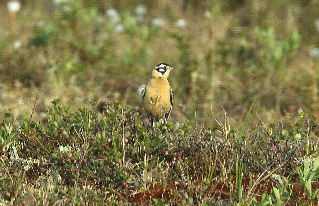
- Wildlife and birding: Watch for moose and caribou in the open country, plus loons and other waterfowl working the shallows.
Facilities and nearby comforts
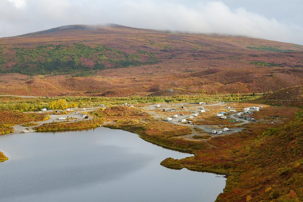
- Tangle Lakes Campground (BLM) sits at Mile 21.5 with around 41 drive‑in sites plus walk‑ins, vault toilets, potable water, fire rings, and a boat launch.
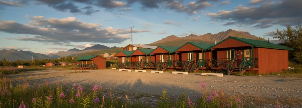
- Tangle Lakes Lodge (around Mile 22) adds creature comforts: a full‑service restaurant, groceries/snacks, cabins, free Wi‑Fi, canoe/kayak rentals, showers, and a shuttle for Delta River floaters. It’s the de facto outpost for this corridor.
Need‑to‑know
- Remote means remote: Services are sparse; Paxson is the closest supply point. Bring what you need and some extra.
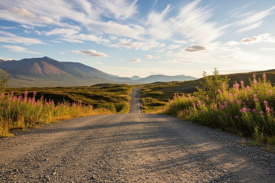
- Roads and vehicles: Most of the Denali Highway is gravel with frost heaves and washboard. Allow more time than you think, and know that some rental car contracts restrict travel here.
- Archaeology etiquette: This district protects significant cultural resources. Obey signs, stay on designated trails where posted (especially at Rusty Lake), and leave artifacts where they lie.
Best time to visit
Late May through September is the typical window. Earlier in summer brings peak mosquitoes; later season brings color in the tundra and fewer bugs. Evenings deliver gorgeous low‑angle light and often the best photography. With the right season and weather, you can also catch dramatic sunsets—and sometimes northern lights.
Weather and preparation
Conditions swing fast out here. Pack warm layers, rain gear, and a head net in bug season. Stock up on food, water, and fuel before you turn off the Richardson Highway, and carry paper maps or offline navigation.