Pros & cons
PROS
- Longest glacier in the Alaska Range
- Seasonal base camp and ski-plane landings enable close access
- Distinct medial moraines and icefalls ideal for flightseeing
CONS
- No road access—fly-in only
- Severe glacier hazards: crevasses, whiteouts, extreme cold
- No developed facilities; all waste is packed out at base camp
Overview
Kahiltna Glacier is Denali’s glacial superhighway—about 44–45 miles long—flowing south from the high Alaska Range between Mount Foraker and Mount Hunter. It’s the longest glacier in the range and the most traveled by Denali climbers, with a seasonal base camp set on its Southeast Fork.
What Makes It Unique
Beyond its sheer length, Kahiltna is famous for striking medial moraines, big crevasse fields, and dramatic icefalls—features that pop on flightseeing tours. It’s also the staging ground for most Denali ascents, so in late spring you’ll see ski-planes, tent cities, and rope teams moving out across the lower glacier.
How People Experience It
- Flightseeing: The most accessible way to experience the glacier is by air taxi from Talkeetna, with many tours circling the moraines and icefalls; some make glacier landings near base camp for a short on-snow visit.
- Mountaineering: Climbers typically land at about 7,200 ft, descend “Heartbreak Hill” to the Lower Kahiltna (~6,800 ft), camp near 7,800 ft by the Northeast Fork, then climb the 1,800‑ft “Ski Hill” en route to Kahiltna Pass. Route lines change constantly as crevasses open and bridges weaken.
What You’ll See
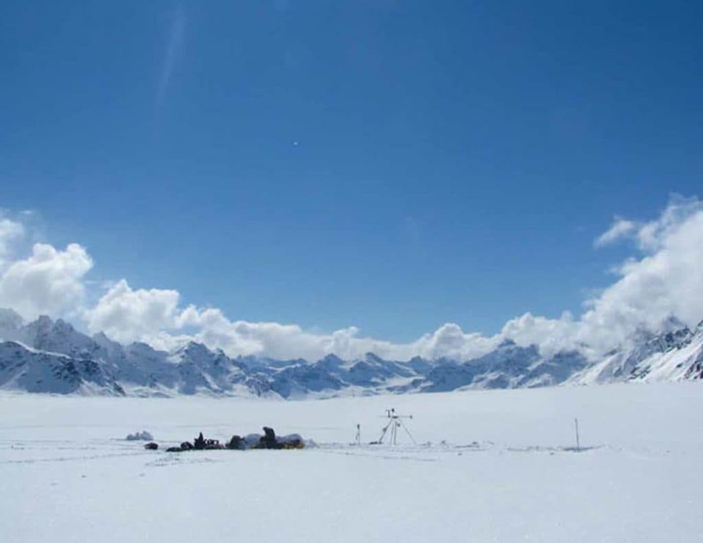
From the air or on snow: a broad river of ice streaked with dark moraine bands, yawning crevasses, and serac-laced icefalls. In climbing season, base camp and rope teams dot the surface. Wildlife is sparse on the ice itself, though you might spot moose or bears in lower valleys on approach flights.
Conditions and Hazards
This is a serious alpine environment. Expect bitter cold, wind, and frequent whiteouts that erase the horizon. The Lower Kahiltna is notorious for massive crevasses; teams travel roped and crevasse‑rescue ready, and falls are a known risk. Weather can shut down flights and stall progress for days.
Research and Change
Kahiltna is a long‑running focus of glacier monitoring. National Park Service studies began in 1991 and expanded around 2010–2011 with airborne and satellite observations. Like many glaciers, Kahiltna is thinning and losing mass, a change visible to researchers and repeat visitors alike.
Practical Realities
There are no amenities here—no parking, restrooms, or shelters. Base camp is seasonal and entirely self‑supported. Climbers melt snow for water and use Clean Mountain Cans to pack out human waste as required. If you’re not climbing, think of this as a dramatic fly‑in experience rather than a place you can reach by road or trail.
Is It Worth It?
If you’re climbing Denali, Kahiltna is unavoidable and unforgettable. For everyone else, it’s one of the park’s most jaw‑dropping flightseeing targets—especially if your pilot can land—offering a close‑up sense of scale you won’t get from the road system.
Where it is
62.7658, -151.3033Tips for Kahiltna Glacier
- 01Book flightseeing well ahead; weather delays and cancellations are common.
- 02If landing, bring glacier glasses and sunscreen—the snow glare is intense.
- 03Climbers should travel roped and be crevasse‑rescue ready; routes change daily.
- 04Plan to pack out all waste at base camp; Clean Mountain Cans are required.
- 05Build extra days into your schedule—storms can halt flying and on‑glacier travel.
Near Kahiltna Glacier
All places →All trails →
14.5 mi awayMount HunterDenali’s steepest, most technical big peak for elite climbers
21.3 mi awayRuth GlacierFly over Denali's deepest, granite-walled glacier gorge
21.3 mi awayRuth Glacier LandingSki-plane touchdown on Denali’s Ruth Glacier in the Great Gorge
23 mi awayThe Great GorgeAlaska’s deepest glacial gorge, best seen on a Talkeetna flight
49.9 mi awayMcKinley River Bar TrailEasy Wonder Lake walk to a big braided river with Denali views.Moderate · 5 mi · 2.5 hr
55.4 mi awayEielson Alpine TrailShort, very steep climb to Thorofare Ridge with big Alaska Range viewsChallenging · 1.7 mi · 1.5 hr
55.4 mi awayGorge Creek TrailSteep drop from Eielson to river bars with big Alaska Range viewsModerate · 2 mi · 1.5 hr
55.4 mi awayTundra Loop TrailTiny alpine loop with big tundra views at EielsonEasy · 0.3 mi · 30 min