
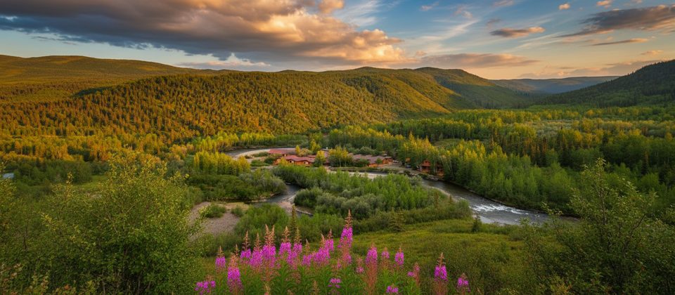
Place · 0.6 mi away
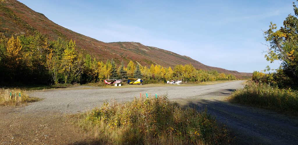
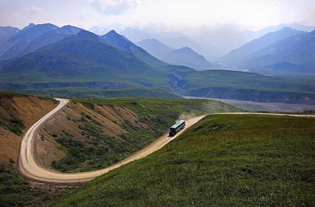
Tucked at the western end of the Denali Park Road, the Kantishna Airstrip is the backcountry gateway to the park’s most remote district. With the road currently closed beyond Mile 43 due to the Pretty Rocks landslide, this strip has become the practical way in and out of Kantishna for travelers and lodge guests.
Departing from here puts you roughly 20 miles from Denali’s north face, so more of your flightseeing time is spent around the mountain rather than commuting to it. It’s the in-park launch point for air taxis and scenic flights operating in the Kantishna area—an advantage if you want maximum “mountain time” on a short flight.
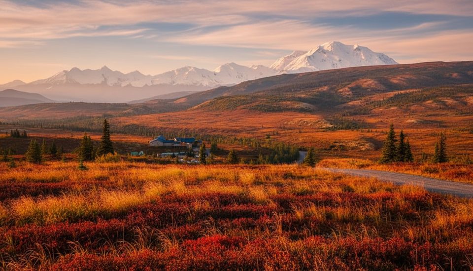
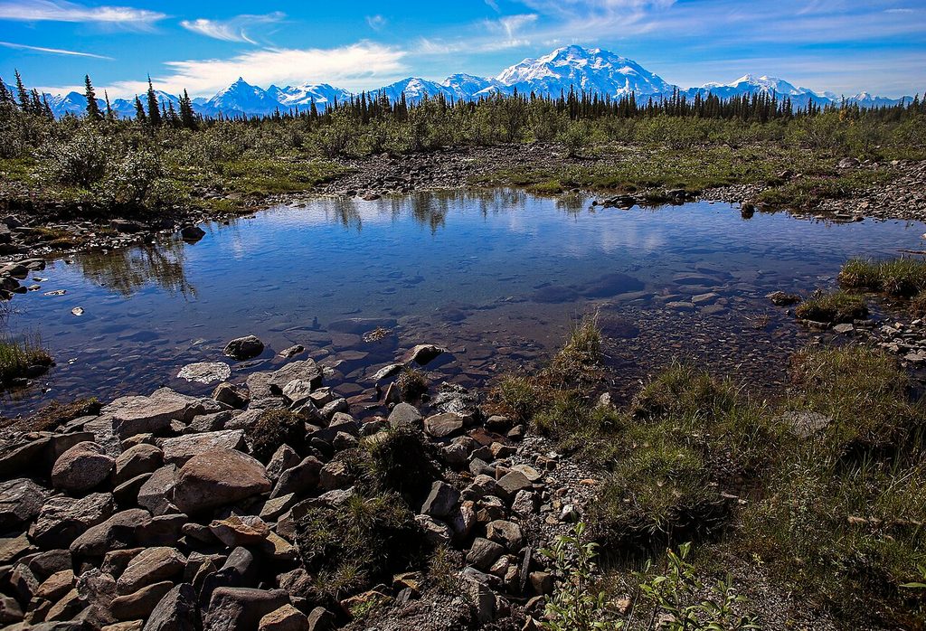
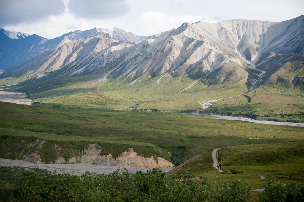
Expect sweeping tundra, braided rivers, and the granite skyline of the Alaska Range. From the air, pilots often circle peaks, icefields, and deep glacier-carved valleys. On the ground, you’re in the heart of a historic gold-mining district near Wonder Lake—on calm days, famous for mirror-like reflections of the mountain.
This is prime habitat for big Denali fauna. From the air and around the area, people commonly spot grizzly bears, moose, caribou, Dall sheep, and occasionally wolves. As always, wildlife viewing is never guaranteed and varies by season and weather.
Keep your expectations spartan: there are no public amenities at the airstrip—no restrooms, food, water, store, or Wi‑Fi. Basic services are available only at private lodges in Kantishna and generally for registered guests. Come fully self-sufficient.
Access is by arranged flightseeing or air taxi; do not plan to drive a private vehicle here. Because road access is restricted, many visitors pair a bus segment (when available) with a flight out, or vice versa, to see the park from both ground and air while saving time.
Kantishna boomed during the early-1900s gold rush, and remnants of that era still dot the landscape. The district later became part of Denali National Park, with a handful of private inholdings and backcountry lodges explaining why an airstrip exists so deep inside the park.
Alaska Range weather rules the day. Low clouds, wind, and precipitation can ground aircraft or reroute flights at the last minute. Build flexibility into your itinerary and pack warm layers and rain gear even in midsummer.
Plan for a remote airfield: ample water, food, warm layers, rain gear, and a camera. If you’re transferring to a lodge, confirm what they provide and what you must carry yourself.
Place · 0.6 mi away
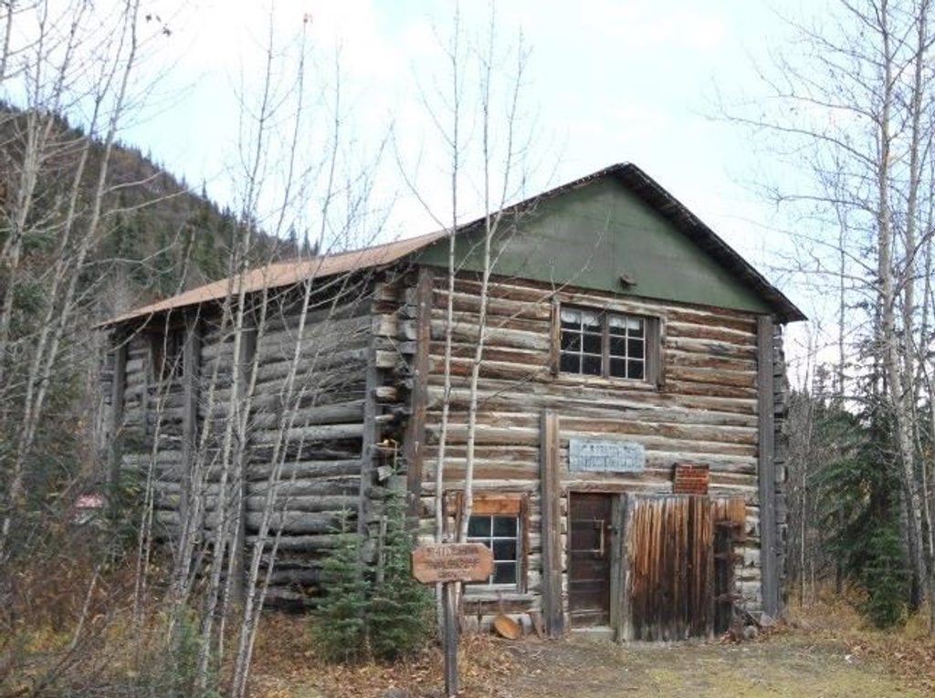
Place · 1.6 mi away
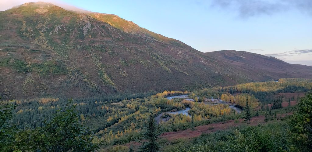
Place · 1.6 mi away
Place · 3.4 mi away
Moderate · 7.3 mi away
Challenging · 22.5 mi away
Moderate · 22.5 mi away
Easy · 22.5 mi away

Parkwolf Tour Guide
