
Place · 13.9 mi away
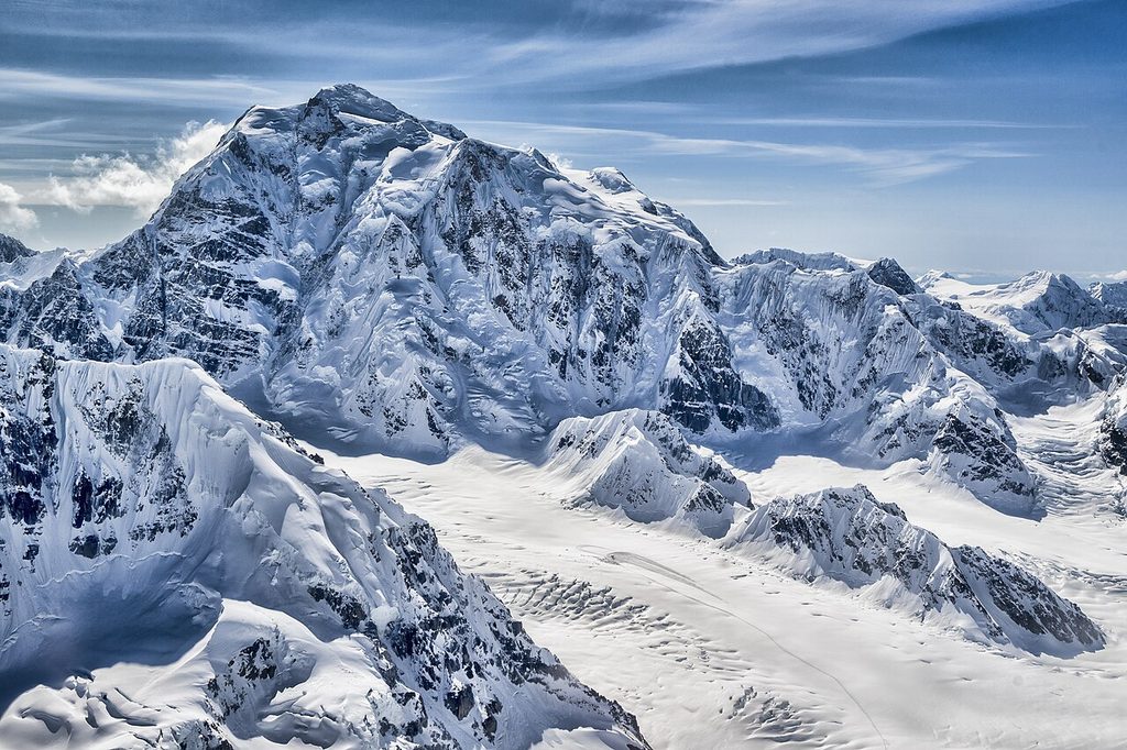
Mount Hunter (Begguya) rises to 14,573 feet and anchors the heart of the Alaska Range about eight miles south of Denali. It’s the third-highest major peak in the range, a compact massif of ice, rock, and wind-scoured ridges that looks every bit as fierce as climbers say it feels.
Among the park’s big three (Denali, Foraker, Hunter), this is the steep one. Long, corniced ridges and exceptionally steep faces define the mountain, and even the "easiest" line is a real mixed climb—snow, ice, and rock from the first step. A broad, glacier-capped plateau links the North (main) and South summits, giving the peak its distinctive, sculpted skyline.
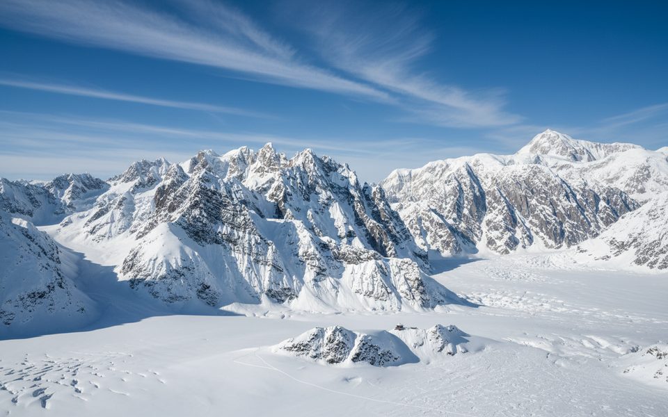
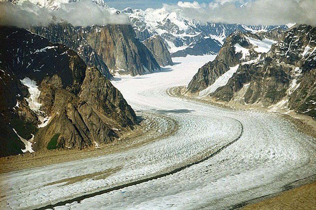
If you come to climb, you’re chasing sustained technical terrain and big exposure. If you come to look (from the air or surrounding glaciers), you get the reward of classic Alaska Range scenery—Foraker to one side, Denali looming to the north, and the sprawling Kahiltna Glacier underfoot. It’s wild, quiet, and decidedly uncrowded compared with Denali.
There’s no road, no trailhead, no facilities. Standard access is by ski-plane to glacier base camps (commonly on the Kahiltna). Parties approaching the east face have used a tight cirque landing and immediately committed to steep terrain—this is not a casual venue. Everything—shelter, food, fuel—comes with you, and you’ll melt snow for water.
Expect real objective hazards: avalanches rip the faces, cornices loom along ridges, and crevasses and seracs are part of the game. Weather is famously fickle and can pin teams down for days. Only a select group of highly skilled climbers attempt it each year, and fewer than half reach the summit in a typical season.
At altitude, you’ll see little beyond ravens and the occasional alpine bird. Lower on approaches, Dall sheep or goats may appear on rocky slopes, while larger mammals keep to the valleys. This is big, cold country; wildlife viewing isn’t the headline here.
The Dena’ina name Begguya means “Denali’s Child,” a nod to the peak’s relationship with its towering neighbor. The first ascent came in 1954 by Fred Beckey, Heinrich Harrer, and Henry Meybohm. Since then, audacious lines—like the Diamond Arête on the east face—have cemented Hunter’s place in mountaineering lore.
Think full expedition kit: technical rock/ice protection, two tools, crampons, ropes, serious cold-weather gear, and navigation plus an emergency satellite device. Plan to pack out all human waste and pad your schedule with weather days. Food and fuel needs should reflect the possibility of extended tent time.
If you’re an experienced alpinist seeking steep, committing routes in a wild setting, Mount Hunter is a bucket-list climb. If you’re a general visitor, consider a flightseeing tour over the Kahiltna to appreciate the scale without stepping onto the glacier.
Place · 13.9 mi away
Place · 14.5 mi away
Place · 15 mi away
Place · 16.2 mi away
Moderate · 35.8 mi away
Challenging · 41.1 mi away
Moderate · 41.1 mi away
Easy · 41.1 mi away

Parkwolf Tour Guide
