
Place · 17 mi away
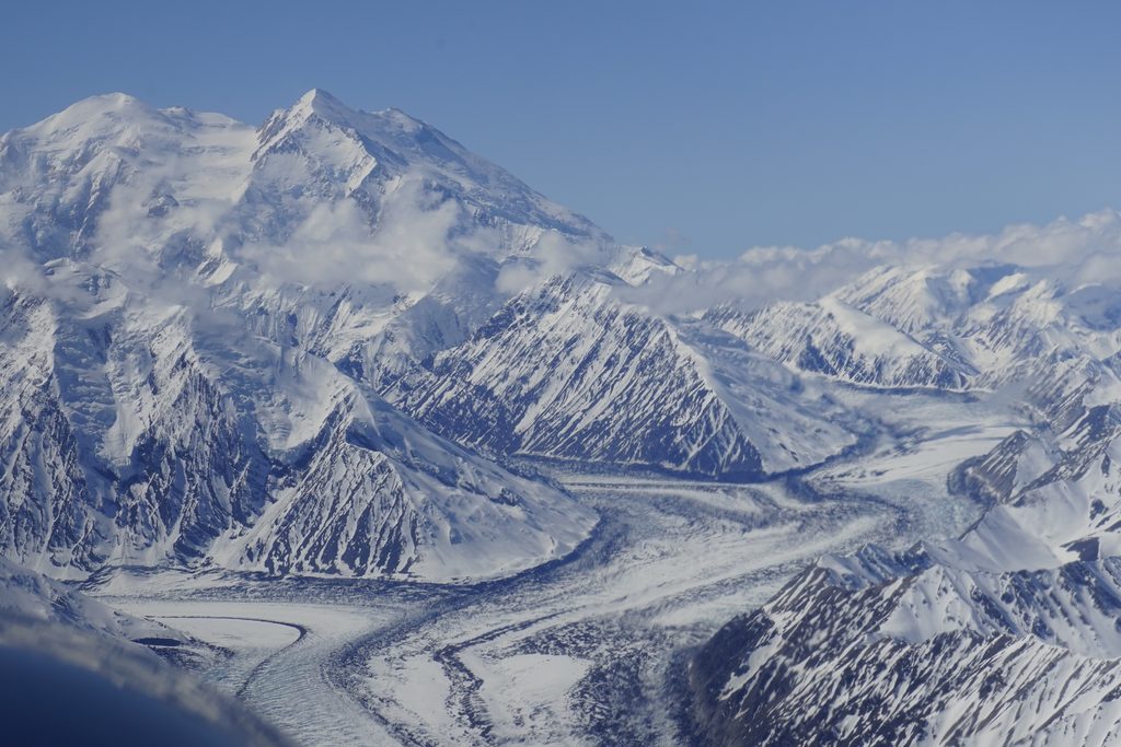
Muldrow Glacier pours off the northeastern flank of Denali, a massive, land‑terminating river of ice that ultimately feeds the McKinley River. At about 39 miles long, it’s the park’s heavyweight glacier—remote, rough, and more the realm of climbers and scientists than casual sightseers.
Muldrow is a surging glacier. Instead of creeping along at a steady pace, it occasionally lurches forward dramatically. A historic surge in 2021 sent the glacier racing—orders of magnitude faster than normal—and left a maze of new crevasses and broken ice. The National Park Service closely documented the event and continues to monitor it as a living laboratory of glacier dynamics.
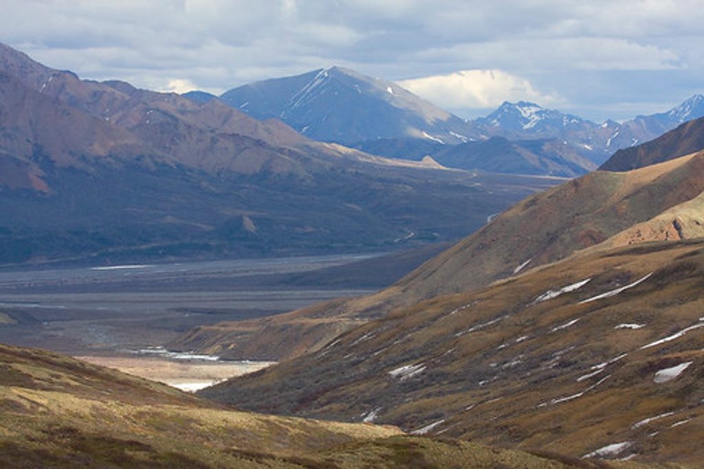
Don’t expect tidewater calving or roadside ice caves; Denali’s glaciers are inland and end on land. From the park road, you’ll only glimpse the tip. The full sweep—medial and lateral moraines, the Great Icefall above, and the fractured “Hill of Cracks”—is best appreciated on a flightseeing tour or by skilled backcountry travel.
There are no developed trails or facilities here. Reaching the glacier typically involves a serious, permitted backcountry approach from the park’s north side, including river crossings and complex route‑finding beyond places like McGonagall Pass. Mountaineers know Muldrow as part of the historic northern route to Denali’s summit, but post‑surge crevassing has made travel even more committing.
Expect long ridges of rock (moraines) riding the ice, debris‑covered lower reaches, deep crevasses, and occasional meltwater pools. The glacier is fed from higher icefalls and tributaries, then bends and flows down‑valley toward the McKinley River, constantly reshaping the landscape as it grinds along.
The ice itself is harsh, but the surrounding tundra and foothills can host caribou, Dall sheep, and birds of prey. Sightings are most likely on the approaches rather than on the glacier proper.
Surges were recorded in the early 1900s, the 1950s, and again in 2021. During the most recent event, the park used modern mapping techniques to track the glacier’s surface changes and motion. The glacier also holds a notable place in Denali mountaineering history as the classic northern approach.
There are no amenities—no parking, no restrooms, no signage. If your goal is to actually see Muldrow in full, book a flightseeing tour. If you plan to approach on foot, secure the appropriate backcountry permits, be fully self‑sufficient, and prepare for rapidly changing conditions on both tundra and ice.
Place · 17 mi away
Place · 17.7 mi away
Place · 18.6 mi away
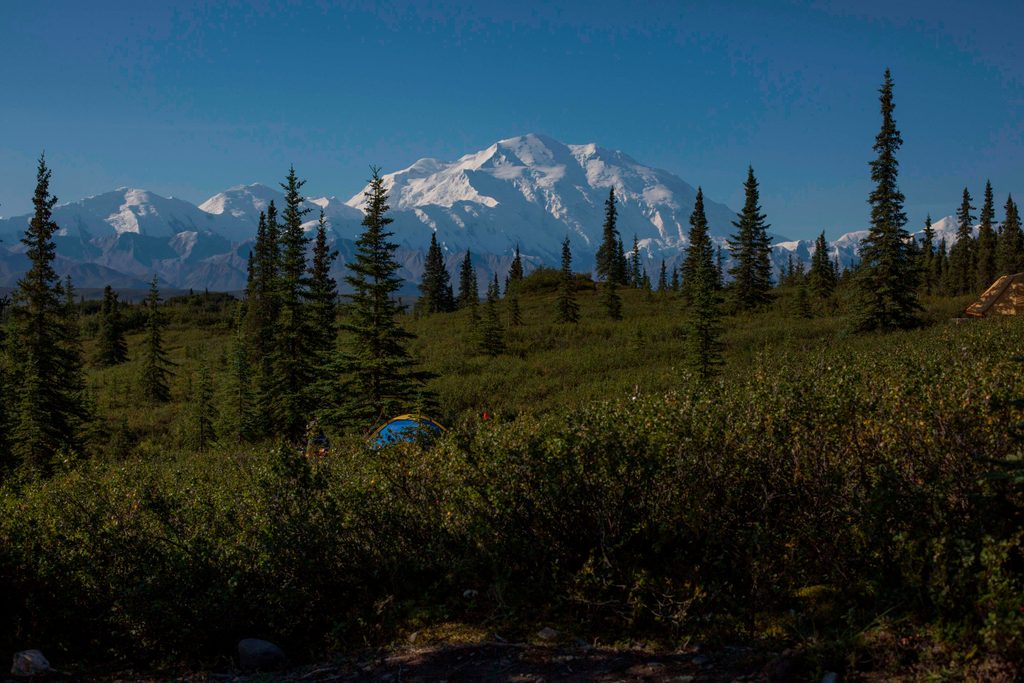
Place · 18.7 mi away
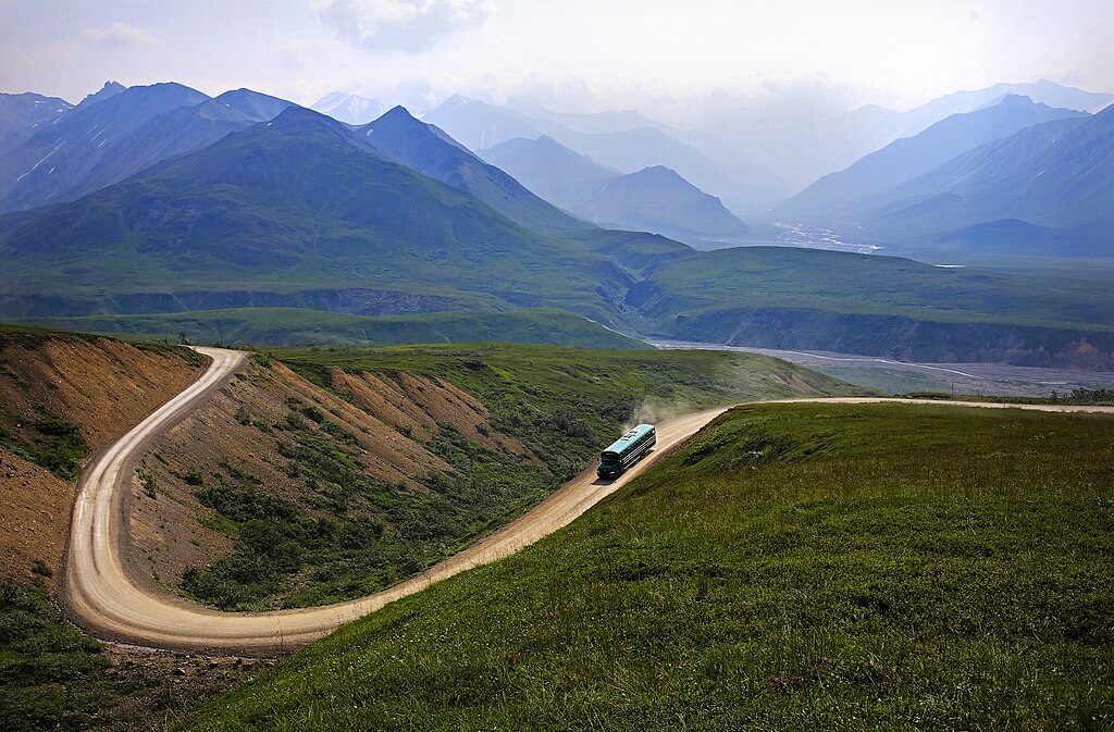
Challenging · 12.4 mi away
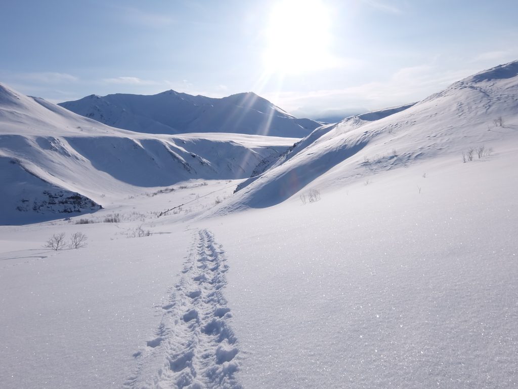
Moderate · 12.4 mi away
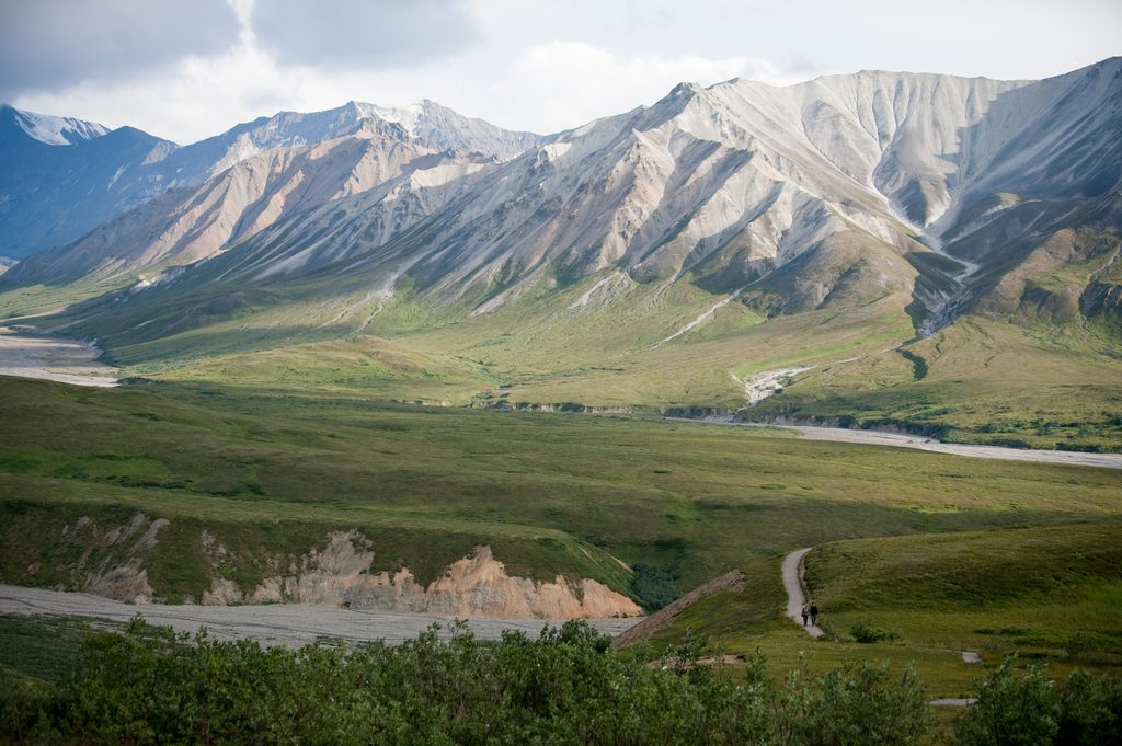
Easy · 12.4 mi away
Moderate · 18.7 mi away

Parkwolf Tour Guide
