South Beach in Dry Tortugas National Park

#2 of 19 sights in Dry Tortugas

Beach · Dry Tortugas National Park

South Beach

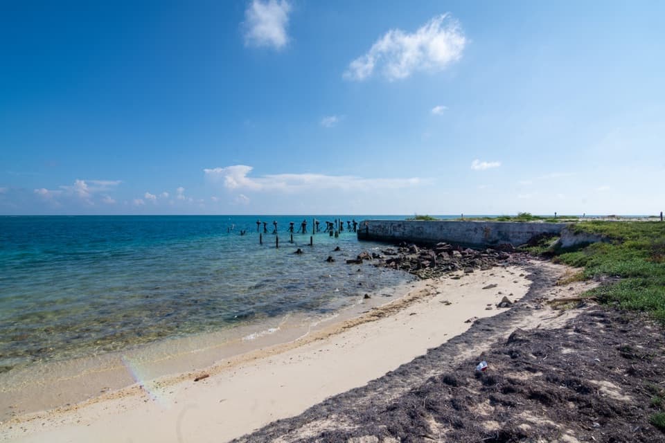
Easy shore entry with nearby reef and Fort Jefferson in view.

Photo: Wikimedia Commons

Overview

About South Beach

Why stop

  • Easy shore entry beside a 19th-century fort.

Heads up

  • No lifeguard; strong currents can occur.

Map

Where it is

Loading the Dry Tortugas map
Full map
BeachSouth Beach24.62687, -82.87357
Keep this map with you offline in the Parkwolf app

Plan your stop

Before you go

5 active Dry Tortugas alerts

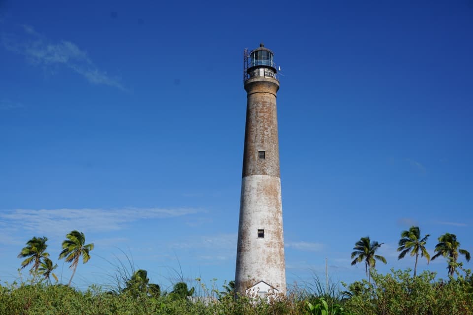
  • CautionGarden Key Harbor Light extinguishedVessel operators should treat the Garden Key Harbor Light as extinguished while it undergoes repairs. - The NPS says it is unknown when the light will again be illuminated.Official details
  • ClosureBush Key partially closed for nesting seasonVisitors may access only the harborside of Bush Key through Fall 2026 because the island is closed to protect nesting Sooty Terns, Brown Noddies, and Magnificent Frigatebirds.Official details

See all 5 alerts
A park ranger sits on a dash-mounted phone, talking, as Parkwolf’s Tour Guide plays “Army Cutworm Moths: A Grizzly Bear Buffet” on Grand Loop Road below Dunraven Pass in Yellowstone
Parkwolf Tour GuideThe highest, rockiest slopes around here are a summer buffet for grizzly bears.

Dry Tortugas Tour Guide

Your drive to South Beach, narrated.

Parkwolf is a GPS audio tour guide for Dry Tortugas National Park. As you drive, it chimes in with what’s ahead: hidden gems, upcoming stops, history, geology, and wildlife, right through your car’s speakers.

More stories near here in the app

  • Life Among the Seagrass
  • Too Heavy for the Scrap Dealer
  • The Reef Cleaning Station
  • Watch the Frigatebird Chase
  • 16 audio storiesacross Dry Tortugas’s roads, triggered by GPS as you drive
  • Wildlife heatmapsfor Loggerhead Sea Turtle, Green Sea Turtle, Great White Heron, and 13 more
  • Works offlinemaps, 2 trails, 21 places, and audio download before you lose signal
  • CarPlay readysimple controls built for the drive
★★★★★
“Fantastic app with many points of information… It’s great to just turn on while you’re driving and it gives you an audio tour of the national Park. We love it!!!!”
JMJamesApp Store review
Download Parkwolf on the App StoreGet Parkwolf on Google Play

4.7 from 8,600+ ratings

Guide

More about South Beach

An easy swim with a fort viewSouth Beach is the sandy swimming beach on Garden Key’s south side, just past the campground…

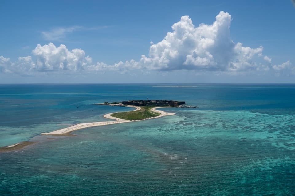
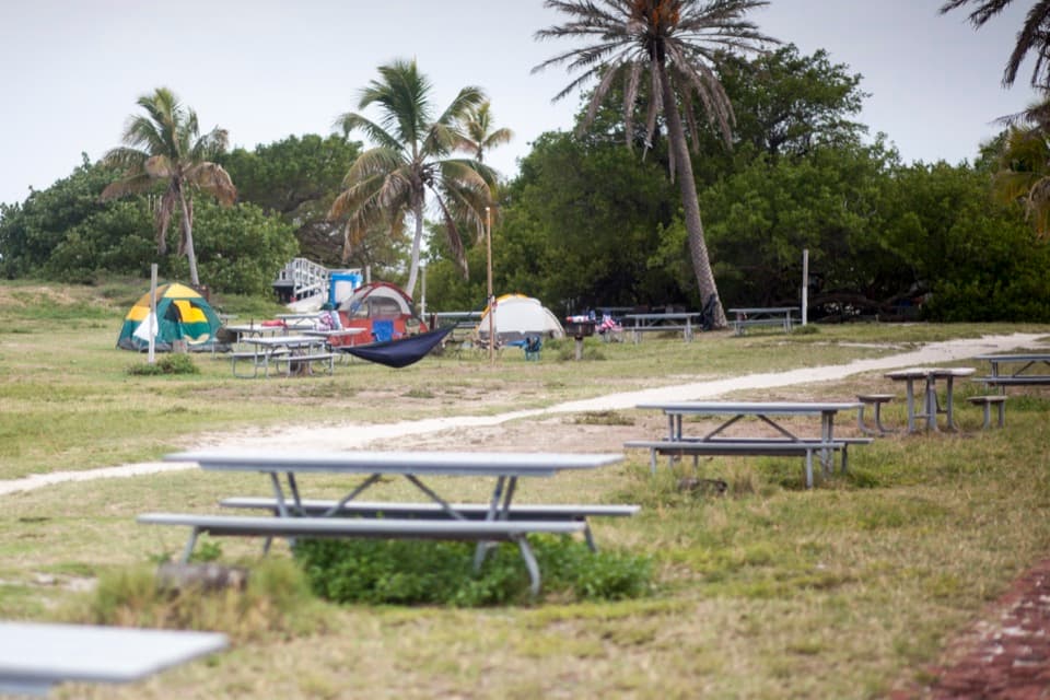
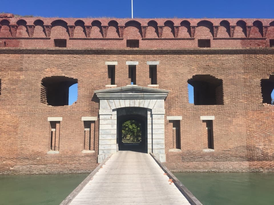
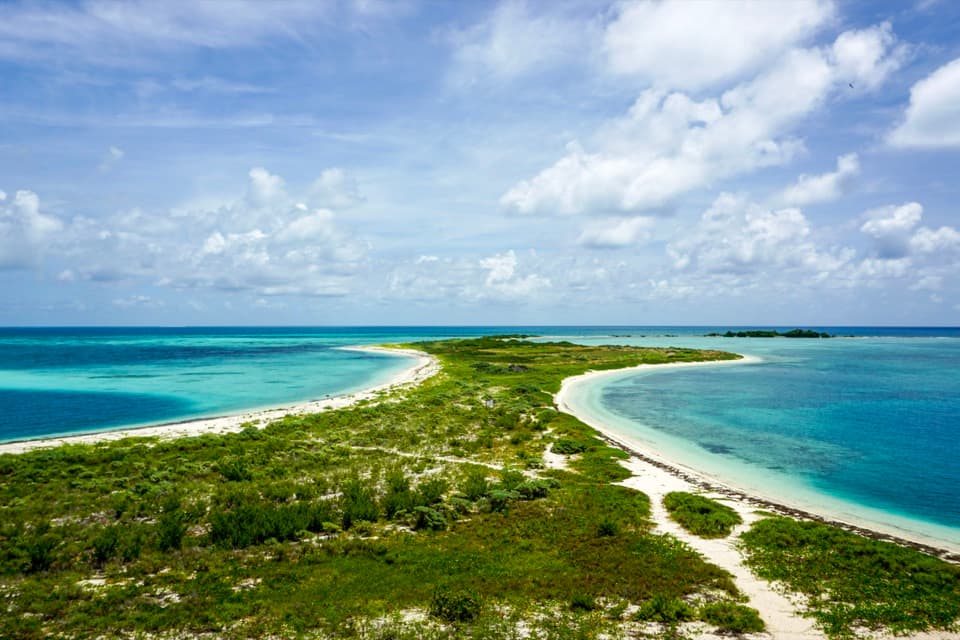
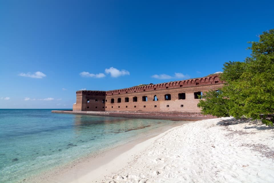
South Beach is the sandy swimming beach on Garden Key’s south side, just past the campground and outside Fort Jefferson’s moat wall. It is one of three designated Garden Key swim areas, with a gradual slope and easy entry. Come for a straightforward shore swim with a 19th-century fort in the background; the setting and nearby reef are the draw more than miles of sand.

Finding the beachGarden Key is reachable only by boat or seaplane; ferry and seaplane trips run from Key West.

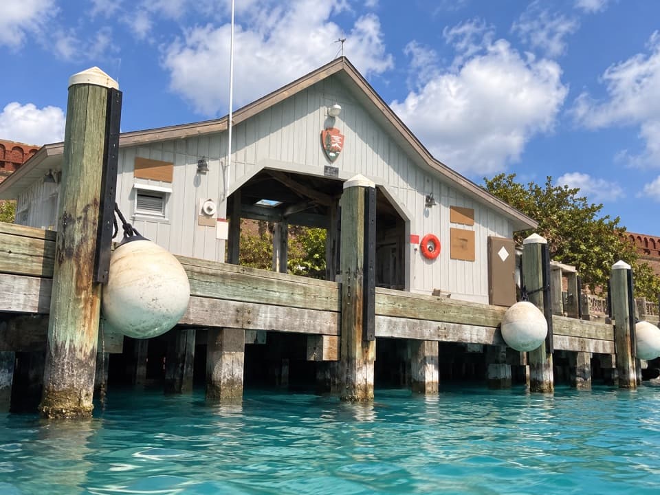
Garden Key is reachable only by boat or seaplane; ferry and seaplane trips run from Key West. From the ferry landing, head left past the campground and follow the moat wall to the beach. Treat it as a bring-your-own stop: plan food and drinking water before boarding, and check with your boat or seaplane operator about what is provided for the trip.

Snorkeling near shoreThe beach gives swimmers a shore entry into the park’s reef setting.

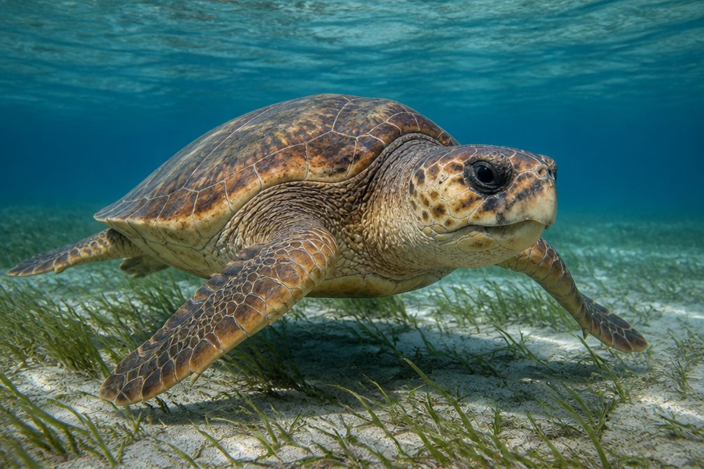
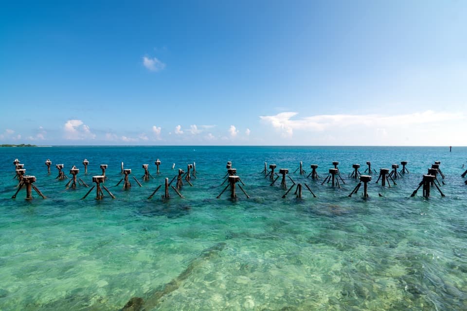
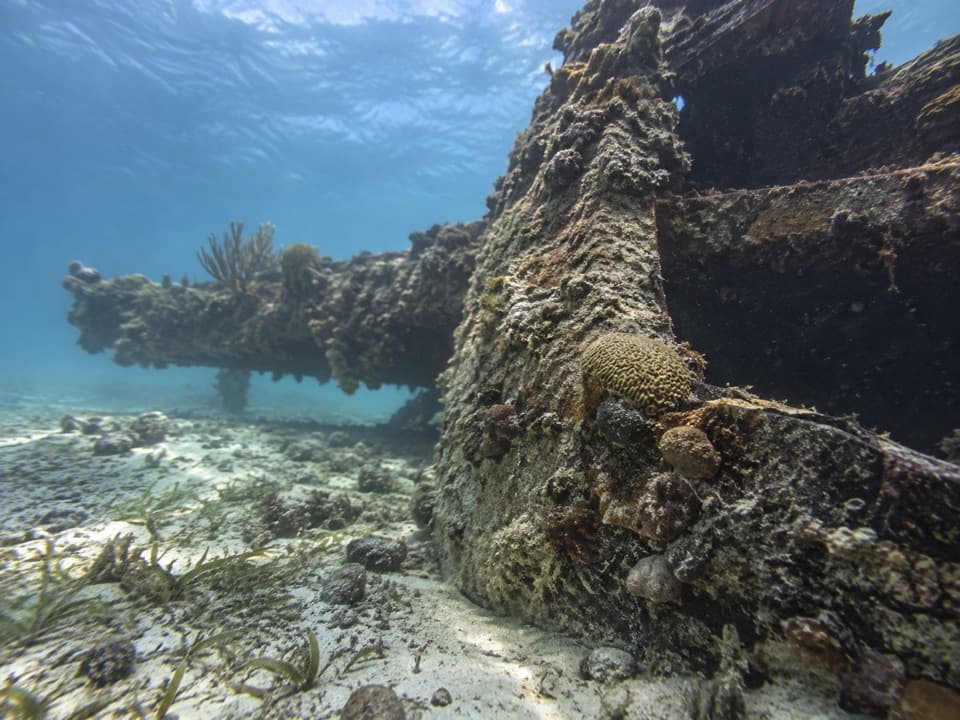
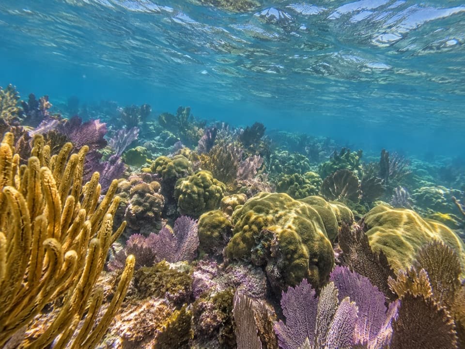
The beach gives swimmers a shore entry into the park’s reef setting. Fish and coral are often reported near the moat wall and pilings, though visitors also report murky water, so underwater visibility varies. Look for marine life from the water and keep your feet off coral and seagrass.

Respect the water and reefThere is no lifeguard, and strong currents are possible.

There is no lifeguard, and strong currents are possible. Stay within your ability, do not swim alone, and watch children closely. Stay out of the moat, do not dive from the walls, and never touch or stand on coral or seagrass.

A fort built for a harborFort Jefferson was built from 1846 to 1875 to protect a strategic deep-water harbor on a major…

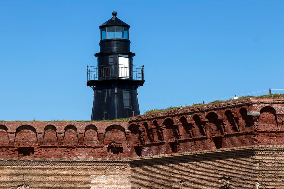
Fort Jefferson was built from 1846 to 1875 to protect a strategic deep-water harbor on a major shipping route, but it was never completed or fully armed. It later served as a Civil War prison and then as a coaling station. Its best-known prisoner was Dr. Samuel Mudd, who treated John Wilkes Booth’s broken leg. From the beach, the long brick wall makes the fort’s scale part of the swim.

Put sand and fort in the same photoFrom the waterline, include the curve of sand in the foreground and the southern brick wall…

From the waterline, include the curve of sand in the foreground and the southern brick wall behind it. That shows how close the fort sits to the water better than a frame filled only with open sea.

Wildlife

Wildlife in Dry Tortugas

All Dry Tortugas wildlife maps

Sighting maps show where each species has been reported across Dry Tortugas. Wildlife moves, so no sighting is guaranteed.

Parkwolf’s Dry Tortugas ranking

Top sights in Dry Tortugas

All 21 places
  1. 1Fort JeffersonSight
  2. 3Loggerhead KeySight
  3. 4North BeachBeach
  4. 5Bush KeySight
  5. 6Windjammer WreckSight
  6. 7Little Africa Patch ReefSight

Take Parkwolf to Dry Tortugas.

The audio tour guide for the drive, plus offline maps, trails, and wildlife heatmaps for when the signal drops.

4.7 from 8,600+ ratings

Download Parkwolf on the App StoreGet Parkwolf on Google Play