Overview
About Arenig Fawr
Why stop
- Broad mountain views without the busiest summit crowds
- A poignant B-17 memorial adds depth to the summit visit
Heads up
- Patchy paths, bog, and heather make navigation slower than the map suggests
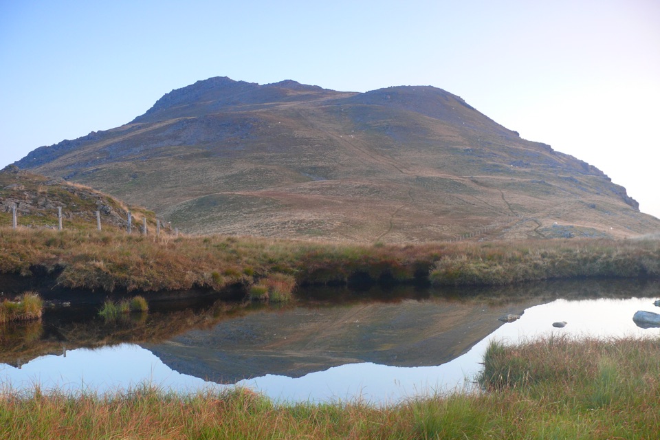
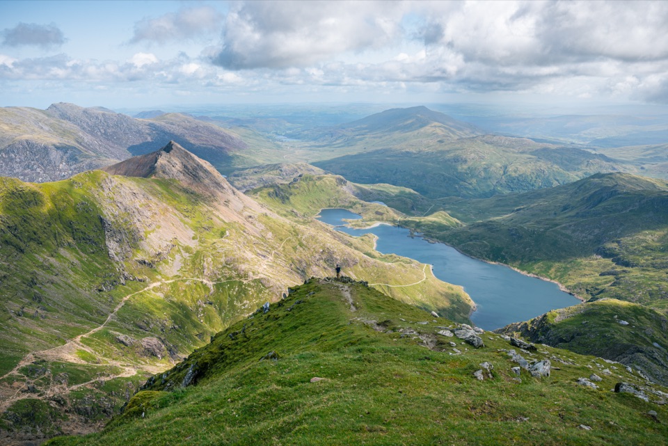
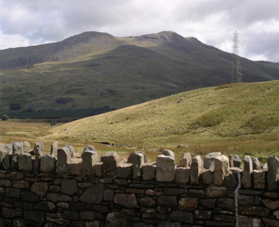
Arenig Fawr is the 854-metre high point of the Arenig range, and a proper mountain objective in the quieter middle of Eryri. The summit has a trig pillar, a broad rocky ridge, and an unusually open outlook. On a clear day, the Snowdon range, Tryfan and the Glyders, the Arans, the Rhinogydd, and the hills of mid-Wales fill the horizon.
 Parkwolf’s verdictWhy go
Map
Where it is

The highest, rockiest slopes around here are a summer buffet for grizzly bears.
Eryri Tour Guide
Your drive to Arenig Fawr, narrated.
Parkwolf is a GPS audio tour guide for Eryri National Park. As you drive, it chimes in with what’s ahead: hidden gems, upcoming stops, history, geology, and wildlife, right through your car’s speakers.
Recorded for this area
The Mountain Innes Kept Painting“Painter James Dickson Innes discovered Arenig Fawr in nineteen ten, then kept returning to it. He and his friends Augustus John and Derwent Lees worked in these hills, painting the mountain in striking colours.”
Plays on the road 2.6 km from Arenig Fawr in the Parkwolf Eryri Tour Guide.
More stories near here in the app
- The Small Lake That Supplies Bala
- The Ball from Frongoch
- Remember Tryweryn
- Why a Poet Gets a Chair
- 298 audio storiesacross Eryri’s roads, triggered by GPS as you drive
- Wildlife heatmapsfor Grey Heron, Tawny Owl, Common Raven, and 9 more
- Works offlinemaps, 120 trails, 82 places, and audio download before you lose signal
- CarPlay readysimple controls built for the drive
“Fantastic app with many points of information… It’s great to just turn on while you’re driving and it gives you an audio tour of the national Park. We love it!!!!”


Guide
More about Arenig Fawr
Route and effortThe most useful approach starts near the western end of Llyn Celyn, from a small car park or…
The most useful approach starts near the western end of Llyn Celyn, from a small car park or roadside lay-by reached from the A4212. A detailed circuit from there is about 16.5 kilometres with 682 metres of ascent and takes around five and a half hours. Shorter out-and-back versions from the same side are roughly 10 kilometres, but the distance understates the effort when the ground is wet.
The climb passes Llyn Arenig Fawr and a tiny stone bothy before reaching the upper ridge. The summit section is not technical or exposed, but paths become intermittent and the terrain turns rough, with rock, heather, gorse, bog, fences, and streams. Do not rely on the summit pin as a trailhead, and do not treat a faint line on the map as a guaranteed path.
A summit with a storyA memorial plaque on Arenig Fawr commemorates eight U.S.
A memorial plaque on Arenig Fawr commemorates eight U.S. Army Air Force crew members who died when their B-17 Flying Fortress crashed on the mountain during a training flight on 4 August 1943. It gives the summit a quiet, sobering detail beyond the views. Pause respectfully, and do not disturb any remaining wreckage or memorial items.
Plan the dayChoose a clear, settled day for the views and easier navigation.
- Choose a clear, settled day for the views and easier navigation. Early starts and weekdays usually offer the calmest approach, while late afternoon light can be excellent across the ridge if you have enough daylight left for the descent.
- Bring sturdy boots, waterproof and warm layers, food, water, a detailed map and compass, and a charged phone as a backup. There are no dependable food, water, or shelter services on the summit.
- Parking at the A4212 starting area is limited, and the approach includes walking beside a busy road. Use only legal spaces, keep gates and access clear, and never assume a small verge is an acceptable overnight spot.
- Cloud can erase the outlook and make the upper mountain harder to navigate. Winter snow, ice, wind, short daylight, and saturated ground raise the difficulty considerably. Turn around if the conditions no longer match your experience.
Why goThe appeal is the combination of height, space, and relative quiet.
The appeal is the combination of height, space, and relative quiet. This is not a roadside viewpoint or a polished summit attraction. It is a full upland walk where the changing ground and weather are part of the experience.
Wildlife
Wildlife in Eryri
 77 sightingsGrey HeronMost seen around 7 AMSighting map
 17 sightingsTawny OwlMost seen around 6 AMSighting map
 32 sightingsCommon RavenMost seen around 8 AMSighting map
 21 sightingsGreat Spotted WoodpeckerMost seen around 7 AMSighting map
 18 sightingsEuropean RabbitMost seen around 7 AMSighting map
 161 sightingsViviparous LizardMost seen around 10 AMSighting map
Sighting maps show where each species has been reported across Eryri. Wildlife moves, so no sighting is guaranteed.