Parking
Park at Llyn Tegid Foreshore Car Park in Bala, the official finish, then use public transport to Llanuwchllyn for the start. Always use designated parking and do not block farm or residential access.
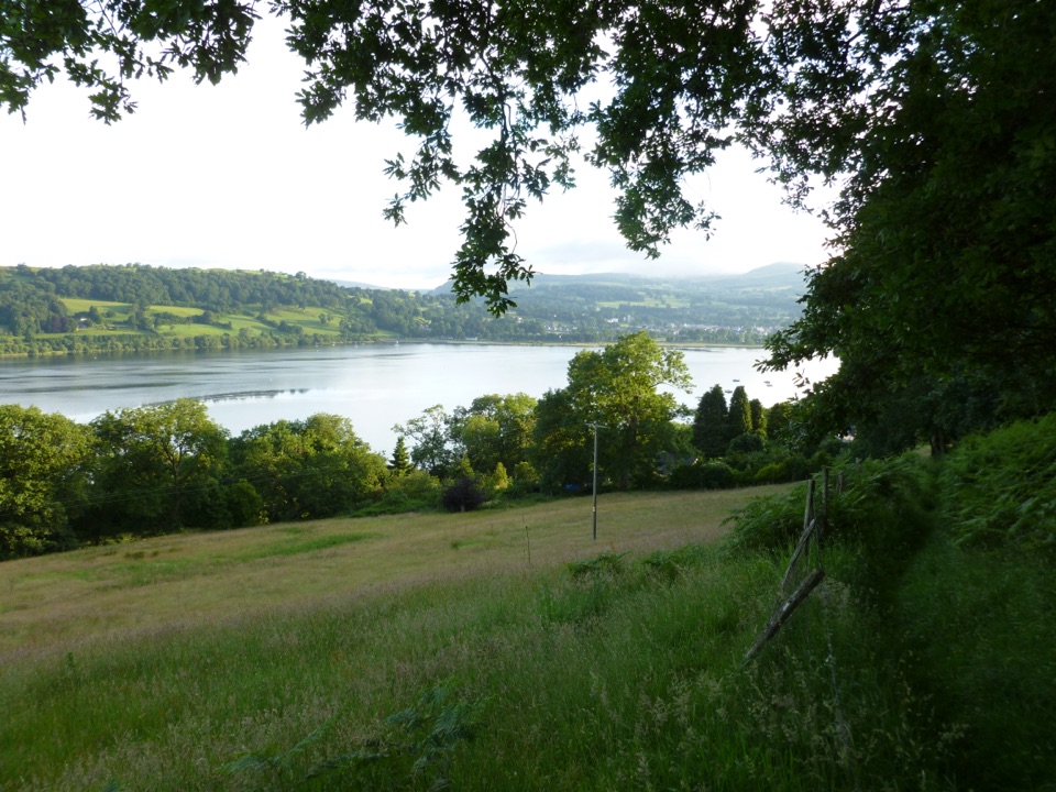
Eryri National Park, WA
Long hill walk above Wales's largest natural lake, Llanuwchllyn to Bala
Overview
Map & elevation
Plan your hike

The highest, rockiest slopes around here are a summer buffet for grizzly bears.
Eryri Tour Guide
Parkwolf is a GPS audio tour guide for Eryri National Park. As you drive, it chimes in with what’s ahead: hidden gems, upcoming stops, history, geology, and wildlife, right through your car’s speakers.
Recorded for this trailhead
Bala Lake Railway at Llanuwchllyn“You're coming up on Bala Lake Railway at Llanuwchllyn, the best station to start a ride beside Llyn Tegid.”
Plays as you drive up to this trailhead in the Parkwolf Eryri Tour Guide.
More stories near here in the app
“Fantastic app with many points of information… It’s great to just turn on while you’re driving and it gives you an audio tour of the national Park. We love it!!!!”


Trail guide
This is a one-way walk, 12 km / 7.4 miles, with about 5 hours allowed, running from Llanuwchllyn at the head of Llyn Tegid to the national park authority foreshore car park in Bala. It is graded moderate and follows the hills above the lake's southern shore rather than the waterline, so you get long views across open countryside and down onto the water for much of the way.
You start at the commemorative monument in Llanuwchllyn, honouring O.M. Edwards and his son Ifan ab Owen Edwards, whose work is bound up with Welsh-language culture and the founding of Urdd Gobaith Cymru. From there the walk goes through the village and over the Afon Twrch bridge, then leaves the road to climb toward Llechweddystrad farm. The middle section is a steady link of farm tracks and fields by Ty'n y Rhos and Ffridd Gymen, including a permissive path to Pantymarch that is not marked on standard maps, then on past Bryncocyn and Tŷ Cerrig, down to a river footbridge and across more fields.
After a forest road and a stretch of country road near Coed yr Allt, you climb through trees behind Pant yr Onnen, drop to another footbridge and climb Bryniau Goleu. The descent runs through bracken and fields past Graienyn to Gwesty Fach Ddeiliog, the Bala Lake Hotel. From there you cross fields and the Llyn Tegid Railway bridge by the platform, a nice moment on this narrow-gauge line that runs along the southern shore, before a road and a wide path bring you to the foreshore car park in Bala.
Expect steep or unsurfaced paths in open countryside, farm tracks, field crossings and several footbridges. The moderate grading assumes some countryside walking experience and reasonable fitness. Walking boots and waterproof layers are essential. There is no shortcut once you are committed to the middle section, so pace it accordingly.
Because this finishes in Bala rather than where you parked, plan the return before you set off. The finish car park has ample public transport options back to Llanuwchllyn, so check current services on the day and time your walk to suit them.
The route crosses working agricultural land, so this matters. Dogs may use public footpaths and open-access land, but on public rights of way they need close control, with a short lead near livestock or wildlife. On open-access land a 2 m lead is required from 1 March to 31 July. Gates, stiles and field boundaries come thick and fast, so a dog that walks calmly past sheep will have a far better day than one that does not.
The honest catch is length. This is a long day rather than a technical one, and the distance is the main barrier. If you are new to hill walking or unsure about several hours on uneven ground, choose a shorter walk first and save this one for when the distance sounds appealing rather than daunting.
Wildlife
 77 sightingsGrey HeronMost seen around 7 AMSighting map
 17 sightingsTawny OwlMost seen around 6 AMSighting map
 32 sightingsCommon RavenMost seen around 8 AMSighting map
 21 sightingsGreat Spotted WoodpeckerMost seen around 7 AMSighting map
 18 sightingsEuropean RabbitMost seen around 7 AMSighting map
 161 sightingsViviparous LizardMost seen around 10 AMSighting map
Sighting maps show where each species has been reported across Eryri. Wildlife moves, so no sighting is guaranteed.
Keep exploring
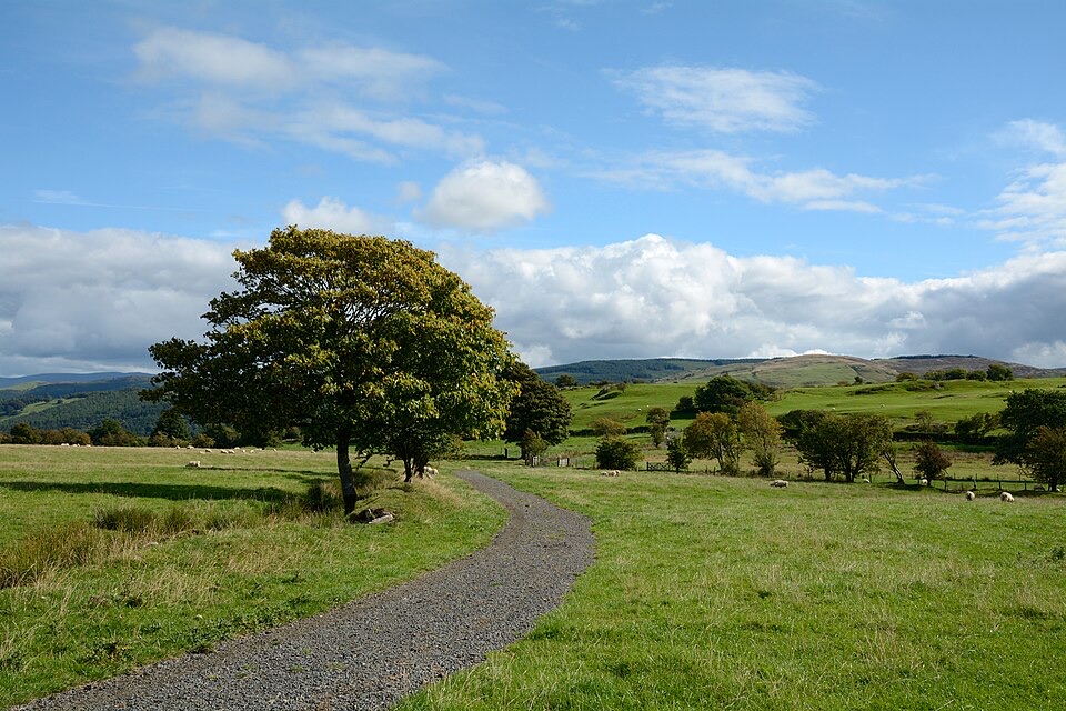 ModerateLlyn Tegid North10 km · 5 hr · 7 km awayRolling one-way hike above Llyn Tegid with wide Arenig views
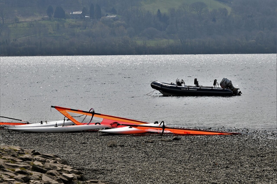 EasyY Bala Town, River and Lake Path3.2 km · 1 hr · 7 km awayFlat 3.2 km lakeside and riverside loop through Y Bala
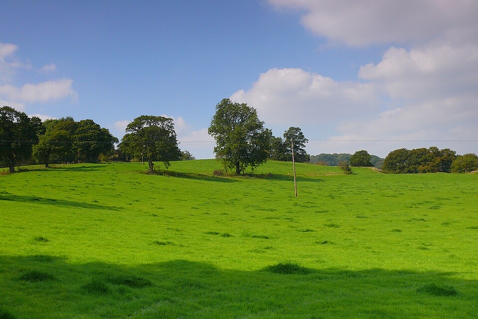 EasyCraig y Fron4.5 km · 1.5 hr · 7 km awayShort hill loop above Y Bala with quarry cave and Berwyn views
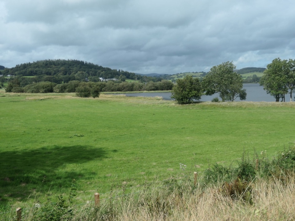 ChallengingLlyn Tegid / Bala Lake Circular Walk22.9 km · 7.5 hr · 7 km awayHill-and-field circuit right around Bala Lake, 22.8 km of water views
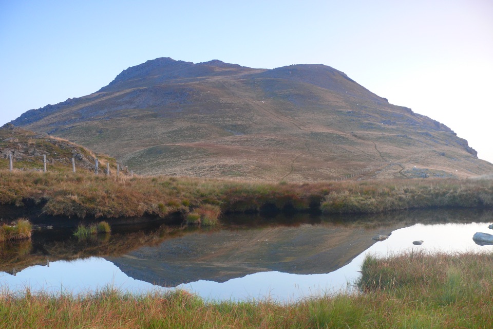 ChallengingArenig Fawr from Arenig12.9 km · 5.5 hr · 9.8 km awayRemote 8-mile loop to a lakeside bothy, trig point and B-17 memorial
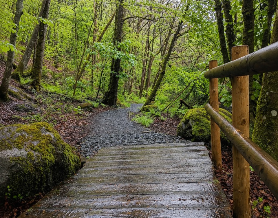 EasyTryweryn Trail4 km · 1.3 hr · 9.9 km awayRiverside loop past whitewater rapids to the dam's old fish trap
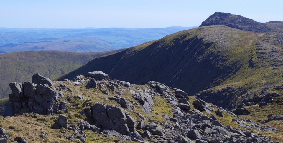 ChallengingAran Benllyn and Aran Fawddwy from Llanuwchllyn21.7 km · 7.5 hr · 10.5 km awayQuiet, steep ridge walk to Aran Fawddwy's rocky 905 m summit
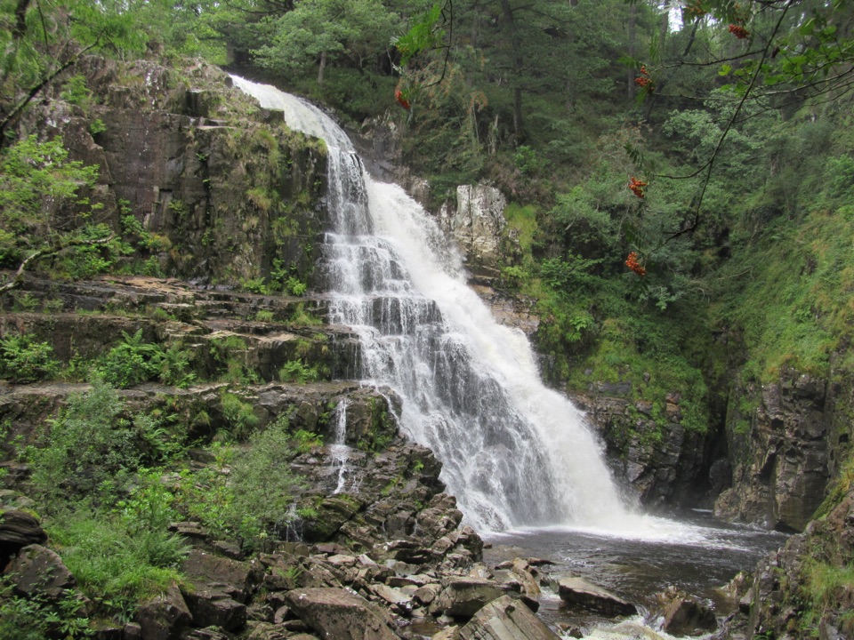 ModerateWaterfalls and Goldmines Trail3.6 km · 1.5 hr · 14.4 km awayTwo waterfalls, gold-mine ruins and an aerial bridge on one forest loop
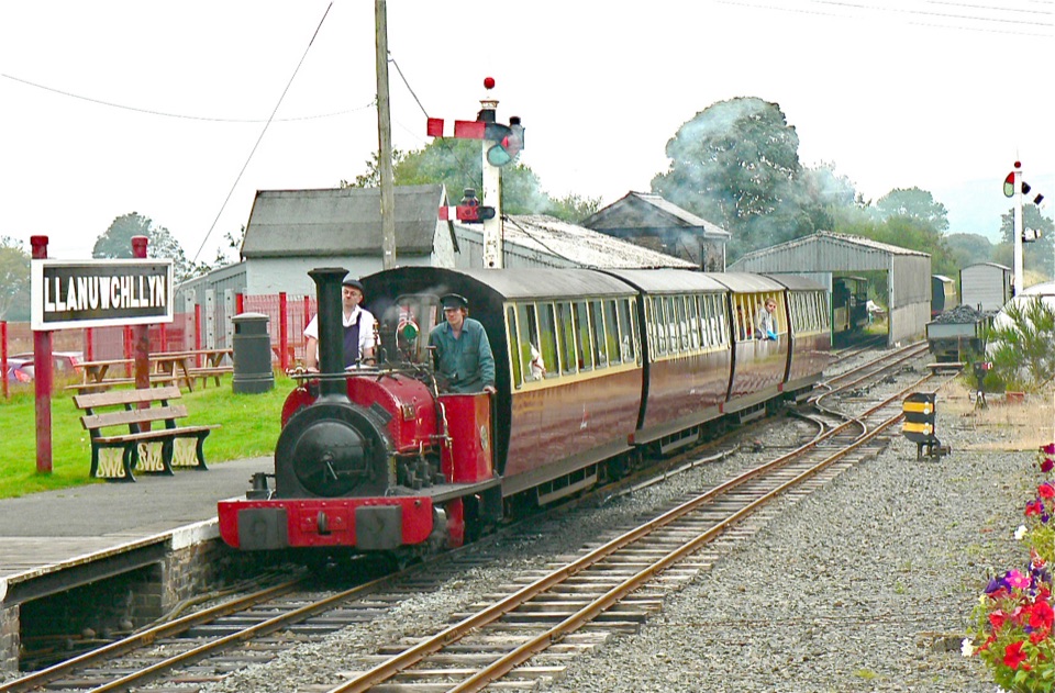 Sight · 0.9 km awayBala Lake RailwayNarrow-gauge steam along Llyn Tegid, with Aran and Arenig views
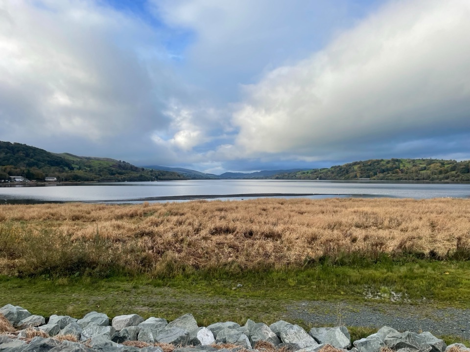 Sight · 4.6 km awayLlyn Tegid (Bala Lake)Wales’ largest natural lake, framed by mountains and weather
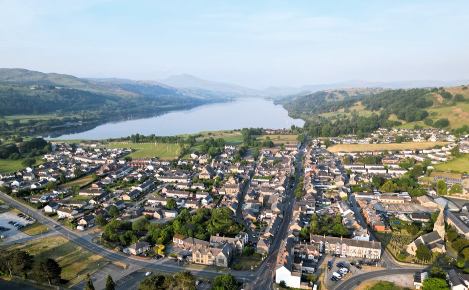 Sight · 7.7 km awayY BalaA Welsh market town with a lake, river, and mountain backdrop
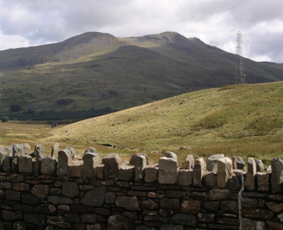 Sight · 8 km awayArenig FawrA quiet 854-metre summit with a B-17 memorial and broad views
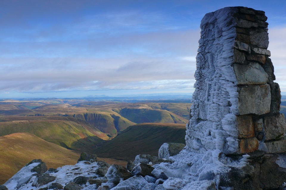 Sight · 8.1 km awayAran FawddwyA rugged 905-metre summit with broad views across mid-Wales
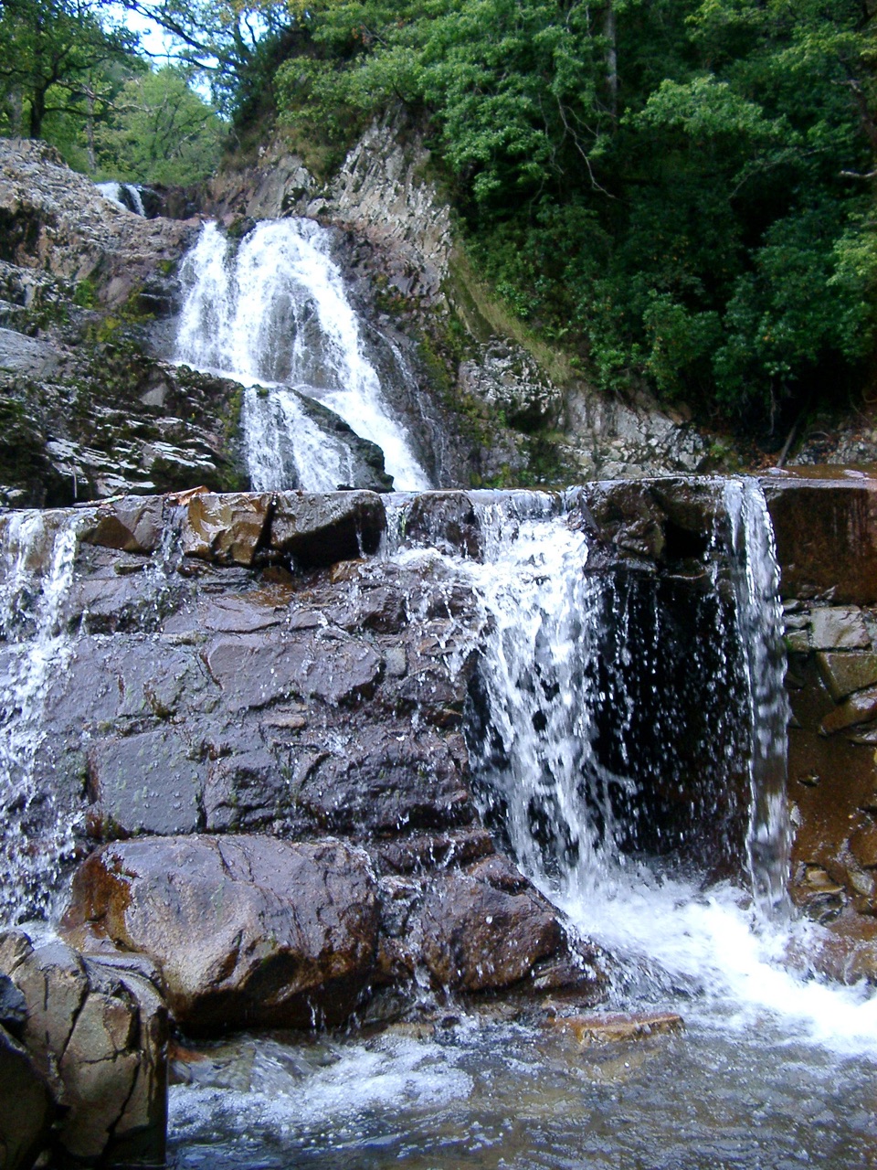 Sight · 14 km awayRhaeadr MawddachA rain-fed cascade beside old gold workings in deep woodland
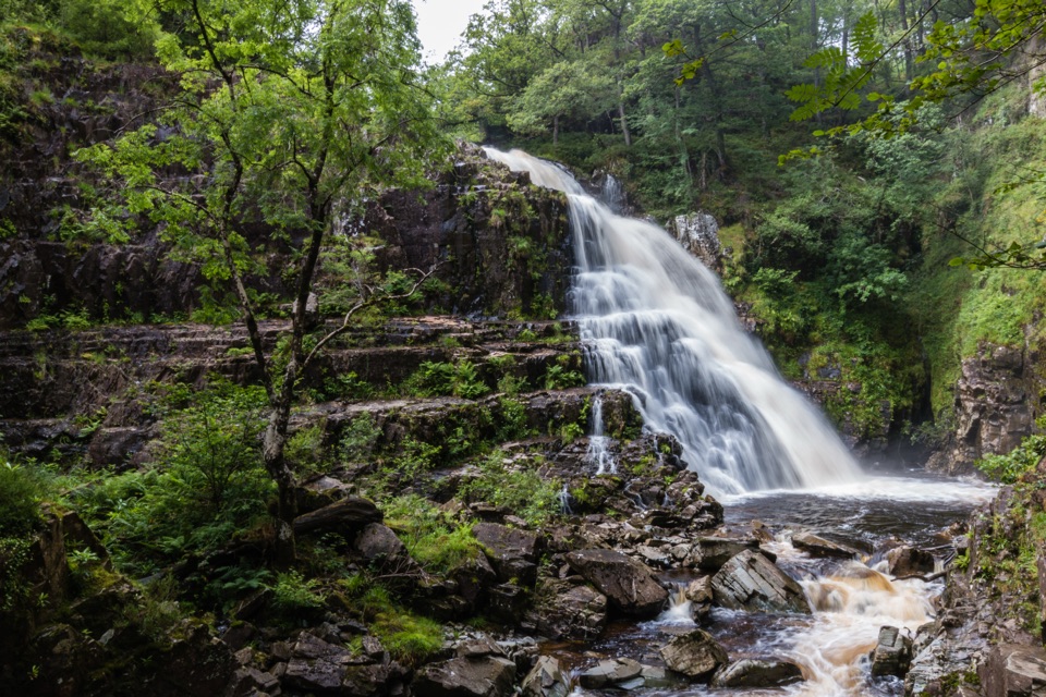 Sight · 14.1 km awayPistyll CainA thunderous forest waterfall reached by an easy-moderate river walk
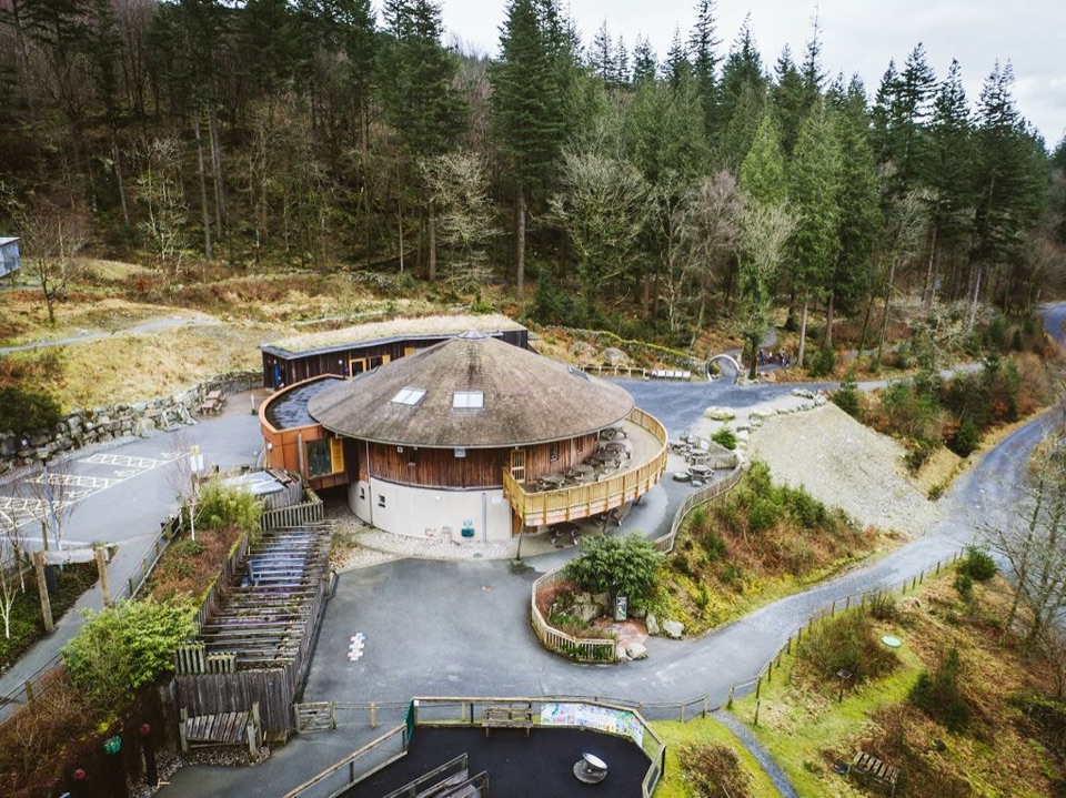 Visitor center · 15.3 km awayCoed y Brenin Visitor CentreBritain’s first purpose-built mountain-bike centre, now a quiet trailhead
Parkwolf’s Eryri ranking

The audio tour guide for the drive, plus offline maps, trails, and wildlife heatmaps for when the signal drops.




