Parking
Start at Canolfan Tryweryn, the National White Water Centre, Frongoch, LL23 7NU, about four miles north of Bala on the A4212. Several on-site car parks are a short walk from the centre, with accessible spaces beside the building.
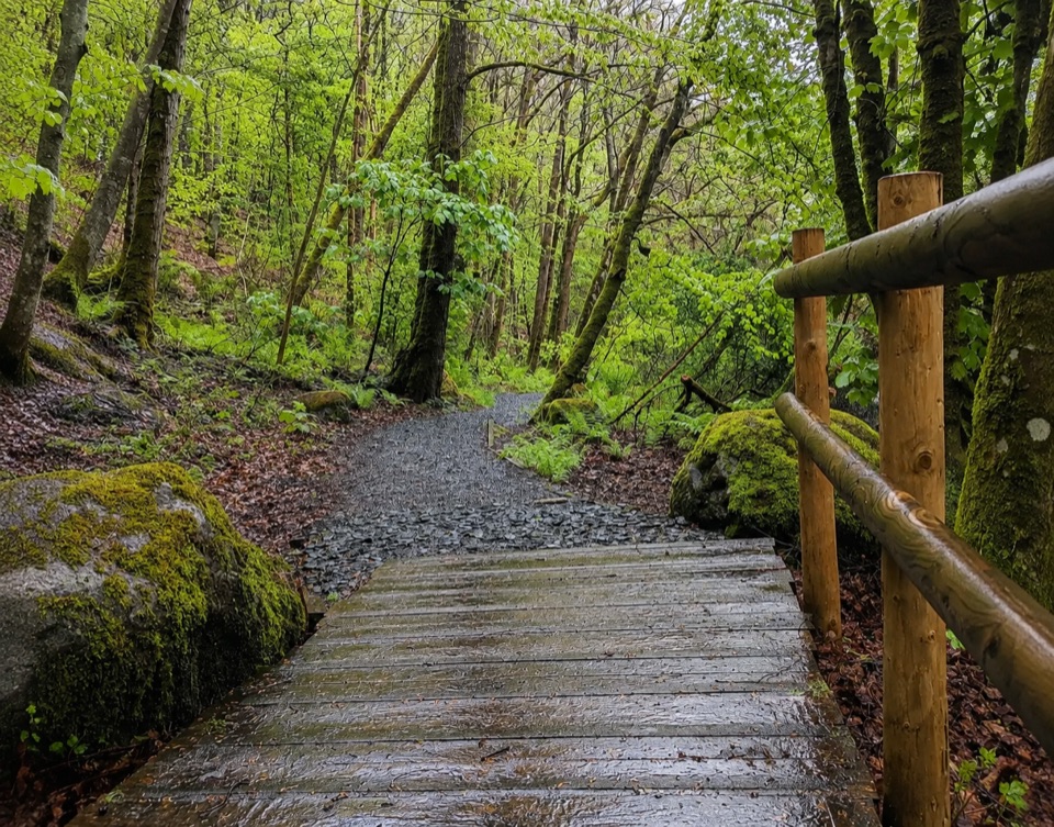
Eryri National Park, WA
Riverside loop past whitewater rapids to the dam's old fish trap
Overview
Map & elevation
Plan your hike

The highest, rockiest slopes around here are a summer buffet for grizzly bears.
Eryri Tour Guide
Parkwolf is a GPS audio tour guide for Eryri National Park. As you drive, it chimes in with what’s ahead: hidden gems, upcoming stops, history, geology, and wildlife, right through your car’s speakers.
Recorded for this trailhead
Canolfan Tryweryn and the Riverside Trail“You're approaching Canolfan Tryweryn, the National White Water Centre, where rafters and kayakers tackle the rapids.”
Plays as you drive up to this trailhead in the Parkwolf Eryri Tour Guide.
More stories near here in the app
“Fantastic app with many points of information… It’s great to just turn on while you’re driving and it gives you an audio tour of the national Park. We love it!!!!”


Trail guide
A circular loop of 2.5 km (1.5 miles) starting and finishing at Canolfan Tryweryn, the National White Water Centre at Frongoch. Most people take 1 to 1.5 hours, so call it about an hour and a quarter if you want a number. It is an easy family and scenic walk rather than a hill day, with barely 25 metres between the lowest and highest points on the route.
Leave the centre and follow the Afon Tryweryn downstream to the NRA bridge. Cross there, then work back upstream along the riverbank to the Fedw'r Gog bridge, cross again, and carry on upstream through a car park and a tunnel under the old railway line onto the island. The far point is the Chipper and the fish trap at the foot of the Llyn Celyn dam, which sits off to your right. The return leg is different ground: road and access road, then the former Bala to Ffestiniog railway line back to the centre.
Surfaces are mixed and that is the main thing to plan for. You get riverbank path, rough tracks and the old railway corridor, so wear proper shoes rather than trainers after wet spells. Gradients are gentle throughout and the loop is short enough for young legs.
The path stays close to fast-flowing water for much of the way, and river levels here can change quickly. Keep children close on the riverbank sections. The centre lends buoyancy aids for children on a returnable deposit, which is worth picking up at reception if you have small ones with you.
The walk runs through mossy deciduous woodland with willow and polypody ferns, past information boards, picnic sites and a handful of bridges that give you the best views up and down the water. The other draw is human: rafters and canoeists working the rapids known as the Graveyard and the Ski Jump, which turns a short riverside stroll into decent spectator sport. Quiet stretches on the riverbank may give you a heron, a dipper or a wagtail, and there is a chance of kingfishers if you are patient and lucky.
Canolfan Tryweryn, LL23 7NU, roughly four miles north of Bala on the A4212. Easy to combine with a stop in Bala if you want more of a day out of it.
Wildlife
 77 sightingsGrey HeronMost seen around 7 AMSighting map
 17 sightingsTawny OwlMost seen around 6 AMSighting map
 32 sightingsCommon RavenMost seen around 8 AMSighting map
 21 sightingsGreat Spotted WoodpeckerMost seen around 7 AMSighting map
 18 sightingsEuropean RabbitMost seen around 7 AMSighting map
 161 sightingsViviparous LizardMost seen around 10 AMSighting map
Sighting maps show where each species has been reported across Eryri. Wildlife moves, so no sighting is guaranteed.
Keep exploring
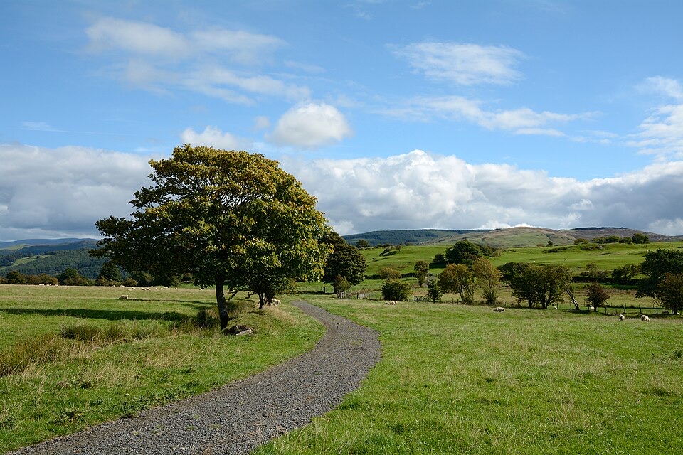 ModerateLlyn Tegid North10 km · 5 hr · 5.4 km awayRolling one-way hike above Llyn Tegid with wide Arenig views
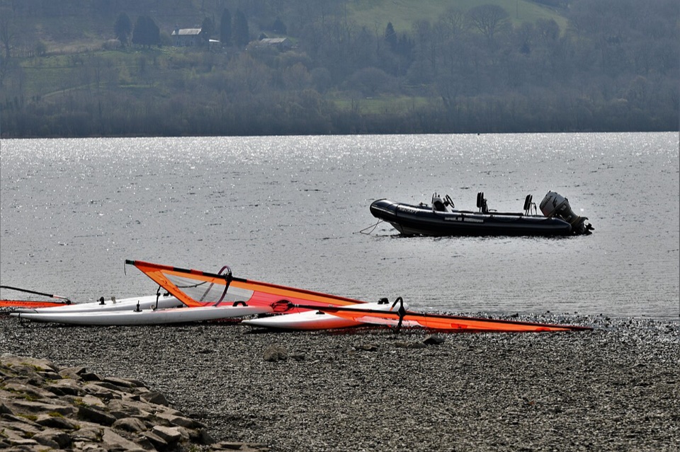 EasyY Bala Town, River and Lake Path3.2 km · 1 hr · 5.4 km awayFlat 3.2 km lakeside and riverside loop through Y Bala
 EasyCraig y Fron4.5 km · 1.5 hr · 5.5 km awayShort hill loop above Y Bala with quarry cave and Berwyn views
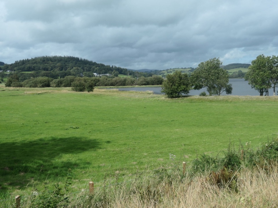 ChallengingLlyn Tegid / Bala Lake Circular Walk22.9 km · 7.5 hr · 5.5 km awayHill-and-field circuit right around Bala Lake, 22.8 km of water views
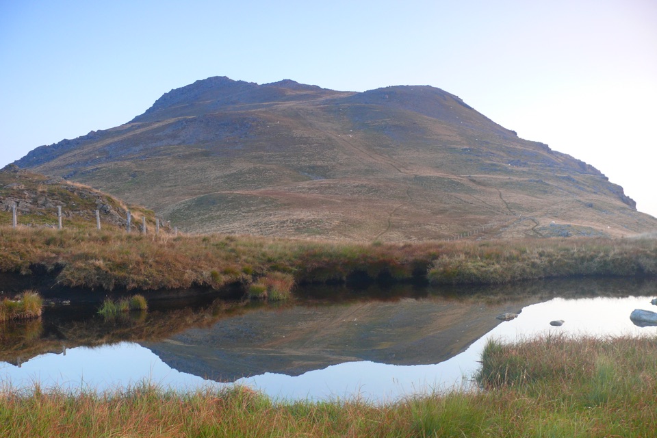 ChallengingArenig Fawr from Arenig12.9 km · 5.5 hr · 6.2 km awayRemote 8-mile loop to a lakeside bothy, trig point and B-17 memorial
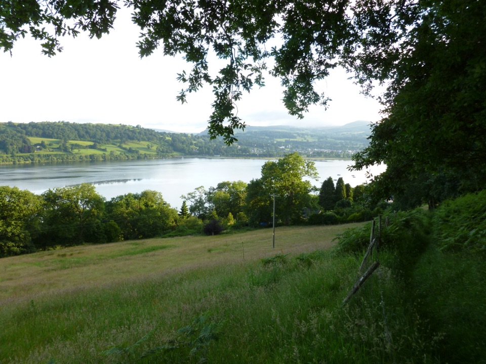 ModerateLlyn Tegid South11.9 km · 5 hr · 9.9 km awayLong hill walk above Wales's largest natural lake, Llanuwchllyn to Bala
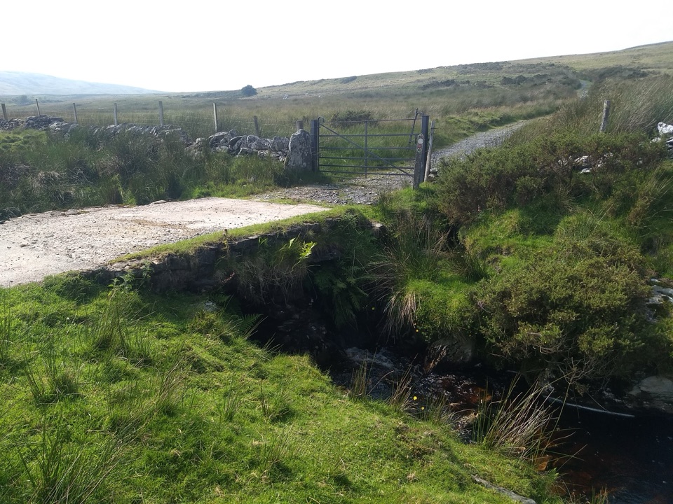 ModerateYsbyty Ifan and Cwm Eidda Walk8 km · 3.5 hr · 9.9 km awayQuiet drovers' road loop through Cwm Eidda, with Carneddau views
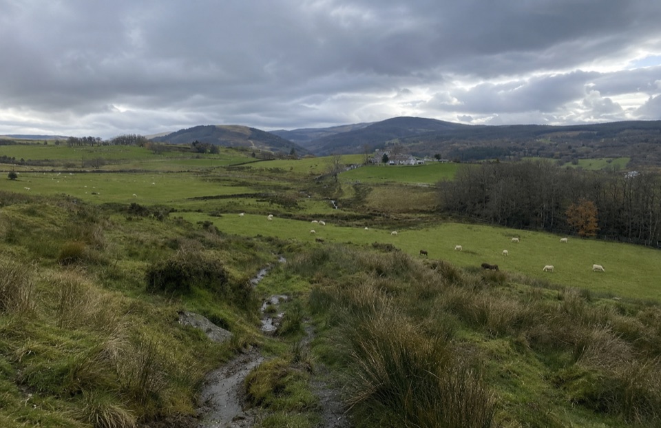 ModerateTy'n y Coed Uchaf and Cwm Eidda Walk8 km · 3.5 hr · 14.9 km awayFarm ruins, boggy uplands and Snowdon views on a five-mile loop
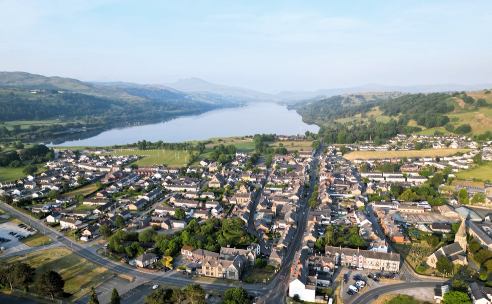 Sight · 5.3 km awayY BalaA Welsh market town with a lake, river, and mountain backdrop
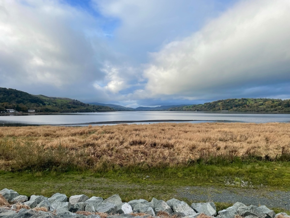 Sight · 7.1 km awayLlyn Tegid (Bala Lake)Wales’ largest natural lake, framed by mountains and weather
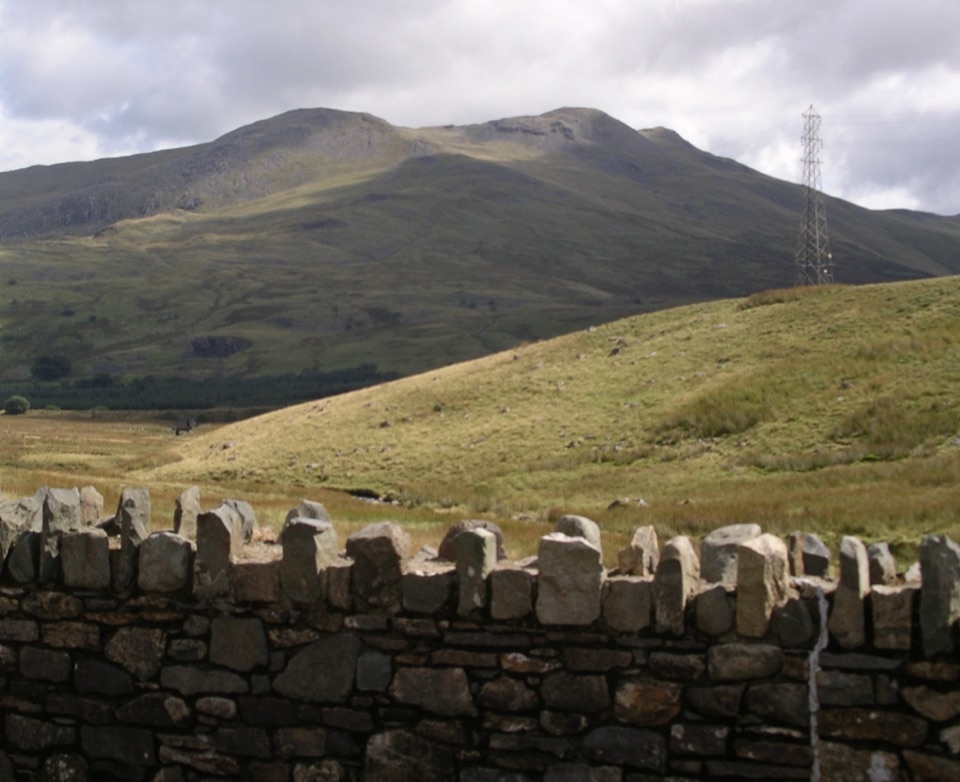 Sight · 7.2 km awayArenig FawrA quiet 854-metre summit with a B-17 memorial and broad views
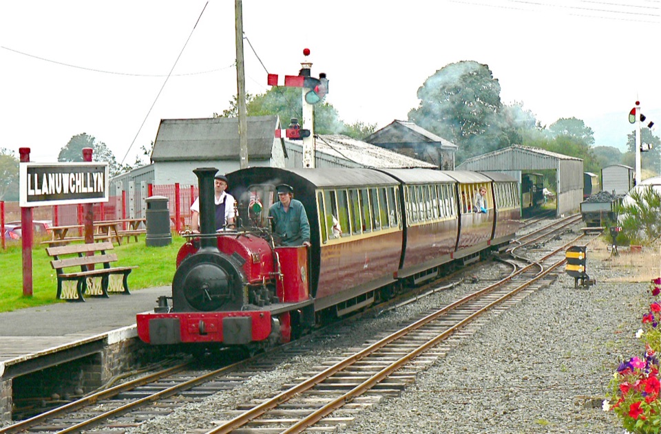 Sight · 10.2 km awayBala Lake RailwayNarrow-gauge steam along Llyn Tegid, with Aran and Arenig views
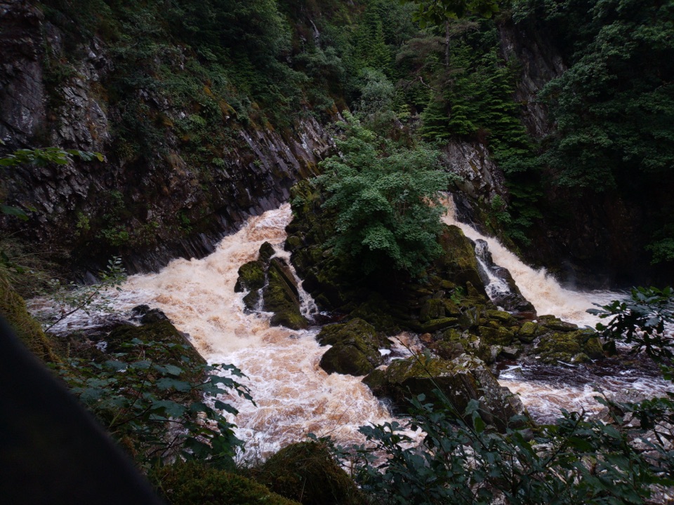 Sight · 15.7 km awayConwy FallsA rushing gorge waterfall wrapped in ancient woodland
Parkwolf’s Eryri ranking

The audio tour guide for the drive, plus offline maps, trails, and wildlife heatmaps for when the signal drops.




