Parking
Small roadside or verge parking near Arenig, about a mile from the A4212 turn-off by the disused quarry. Park considerately and keep the lane clear.
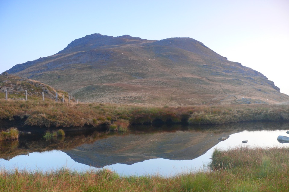
Eryri National Park, WA
Remote 8-mile loop to a lakeside bothy, trig point and B-17 memorial
Overview
This is an approximately 8-mile (13-km) circular mountain route from Arenig, climbing one of the finest and quietest summits in southern Eryri. Allow roughly 5.5 to 6 hours, with around 600 to 660 m of ascent depending on how you measure it.
The walk begins at small roadside and verge parking on the minor Arenig road just off the A4212, near the disused Arenig Quarry. Park considerately and leave the lane clear for other users.
Map & elevation
Plan your hike

The highest, rockiest slopes around here are a summer buffet for grizzly bears.
Eryri Tour Guide
Parkwolf is a GPS audio tour guide for Eryri National Park. As you drive, it chimes in with what’s ahead: hidden gems, upcoming stops, history, geology, and wildlife, right through your car’s speakers.
Recorded for this area
The Small Lake That Supplies Bala“If you take the walk toward Arenig Fawr, the small stone hut beside Llyn Arenig Fawr has a story beyond mountain shelter. The lake was adapted as a reservoir in eighteen thirty to supply Bala.”
Plays on the road 1 km from the trailhead in the Parkwolf Eryri Tour Guide.
More stories near here in the app
“Fantastic app with many points of information… It’s great to just turn on while you’re driving and it gives you an audio tour of the national Park. We love it!!!!”


Trail guide
From the road, head east along the access track to Llyn Arenig Fawr, a dark reservoir cupped beneath crags, where a small bothy sits near the shore. Beyond the lake the route climbs onto Y Castell and follows the ridge, with steadily widening views, up to the summit of Arenig Fawr.
The top carries a trig point and a memorial plaque to the crew of a B-17 bomber that crashed here, a quiet and moving spot in wild surroundings. The return crosses the south top and descends the rough south ridge before curving back around to the start.
This is a remote, exposed mountain walk. Good mountain paths alternate with rough and scree-covered ground, steep grassy sections, boggy patches and vague or sketchy stretches on the south ridge. Summit rock can be polished and slippery when wet, and there are crags to keep well clear of.
Navigation is genuinely difficult in mist or low cloud, so carry a map and compass (or GPS) and know how to use them. Sturdy mountain footwear with good grip is important, along with full waterproofs, warm layers, and all the food and water you will need. Do not count on finding facilities along the way.
On a clear day the reward is a broad sweep of Eryri mountains in almost every direction, with the Arenig ridges falling away below. Closer at hand, Llyn Arenig Fawr and the long silver line of Llyn Celyn give the walk its distinctive lake scenery.
Dogs are welcome on public footpaths and open-access land here, provided they are kept under close control. On open-access land a lead of no more than 2 m is required from 1 March through 31 July, and a short lead is prudent at any time of year near livestock, ground-nesting birds and other wildlife.
Wildlife
 77 sightingsGrey HeronMost seen around 7 AMSighting map
 17 sightingsTawny OwlMost seen around 6 AMSighting map
 32 sightingsCommon RavenMost seen around 8 AMSighting map
 21 sightingsGreat Spotted WoodpeckerMost seen around 7 AMSighting map
 18 sightingsEuropean RabbitMost seen around 7 AMSighting map
 161 sightingsViviparous LizardMost seen around 10 AMSighting map
Sighting maps show where each species has been reported across Eryri. Wildlife moves, so no sighting is guaranteed.
Keep exploring
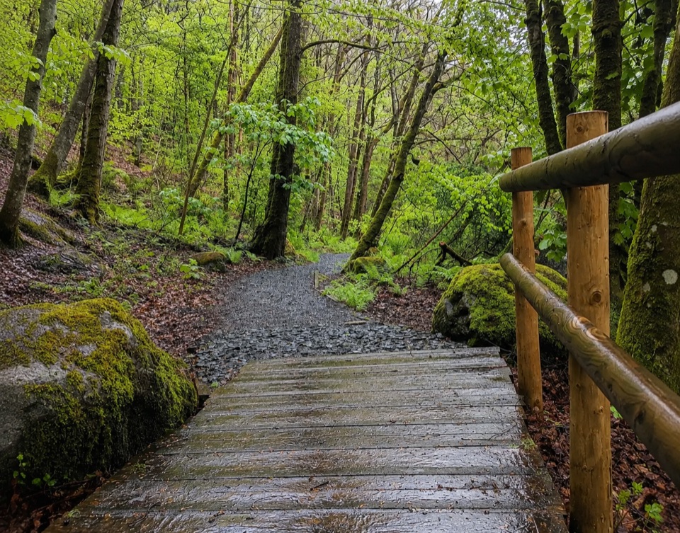 EasyTryweryn Trail4 km · 1.3 hr · 6.2 km awayRiverside loop past whitewater rapids to the dam's old fish trap
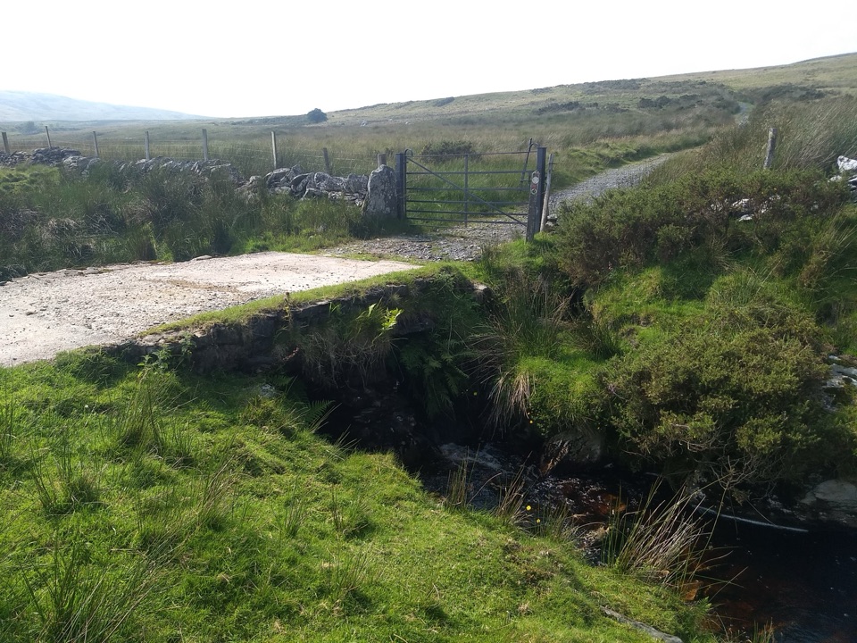 ModerateYsbyty Ifan and Cwm Eidda Walk8 km · 3.5 hr · 9.7 km awayQuiet drovers' road loop through Cwm Eidda, with Carneddau views
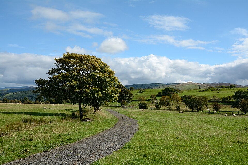 ModerateLlyn Tegid North10 km · 5 hr · 9.8 km awayRolling one-way hike above Llyn Tegid with wide Arenig views
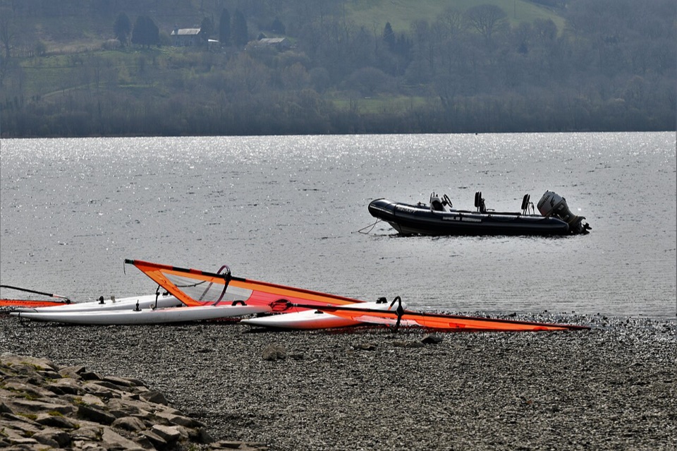 EasyY Bala Town, River and Lake Path3.2 km · 1 hr · 9.8 km awayFlat 3.2 km lakeside and riverside loop through Y Bala
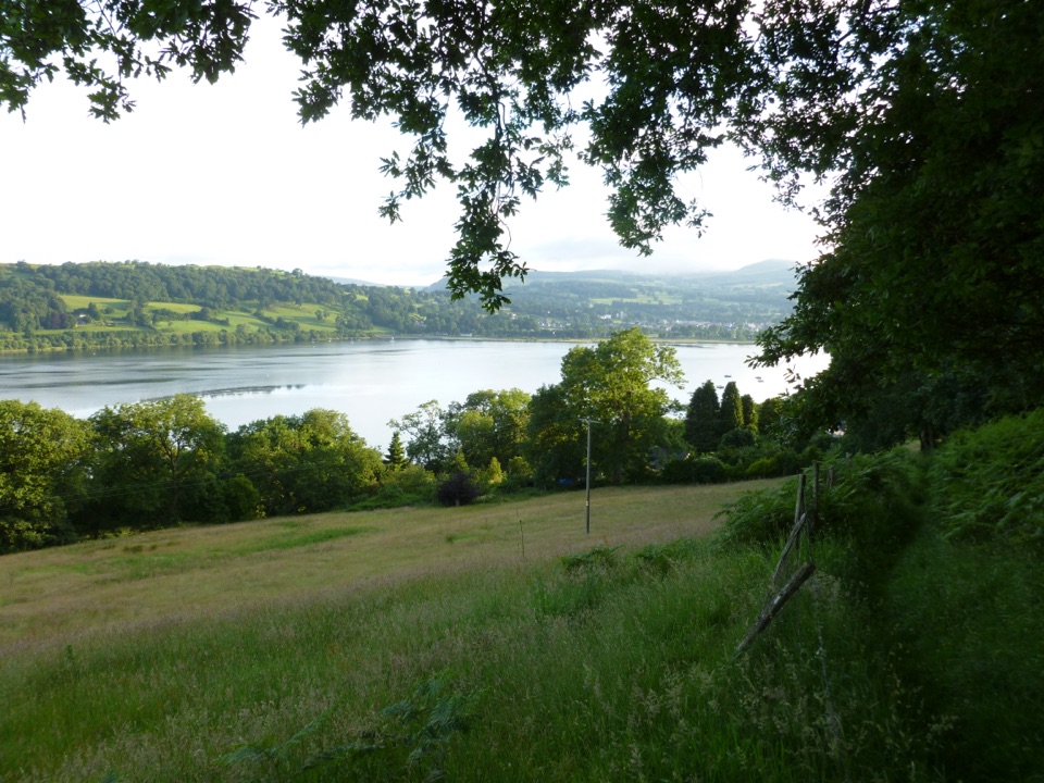 ModerateLlyn Tegid South11.9 km · 5 hr · 9.8 km awayLong hill walk above Wales's largest natural lake, Llanuwchllyn to Bala
 EasyCraig y Fron4.5 km · 1.5 hr · 9.8 km awayShort hill loop above Y Bala with quarry cave and Berwyn views
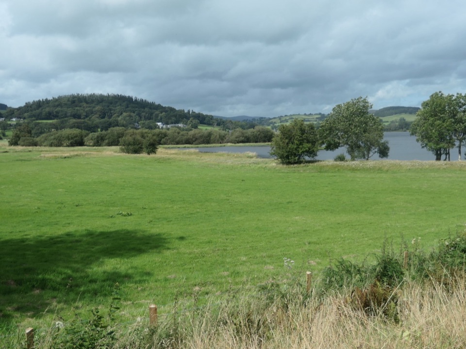 ChallengingLlyn Tegid / Bala Lake Circular Walk22.9 km · 7.5 hr · 9.8 km awayHill-and-field circuit right around Bala Lake, 22.8 km of water views
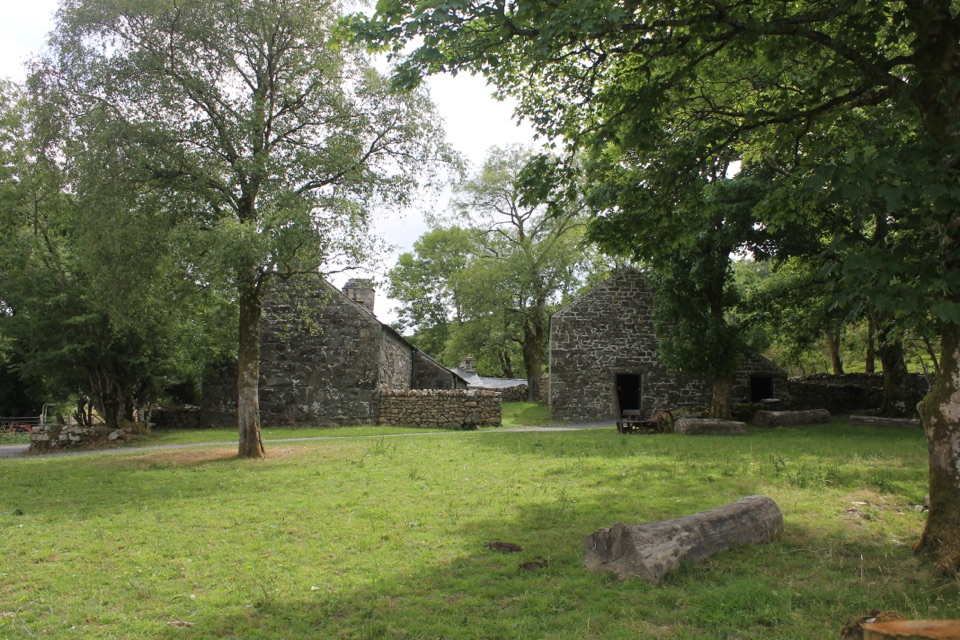 EasyRhos Grwm, Yr Ysgwrn1 km · 30 min · 11.7 km awayA one kilometre farm loop past a poet's historic farmhouse
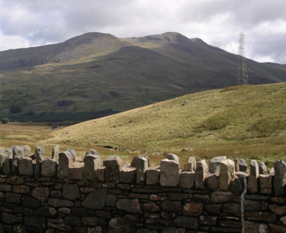 Sight · 2.3 km awayArenig FawrA quiet 854-metre summit with a B-17 memorial and broad views
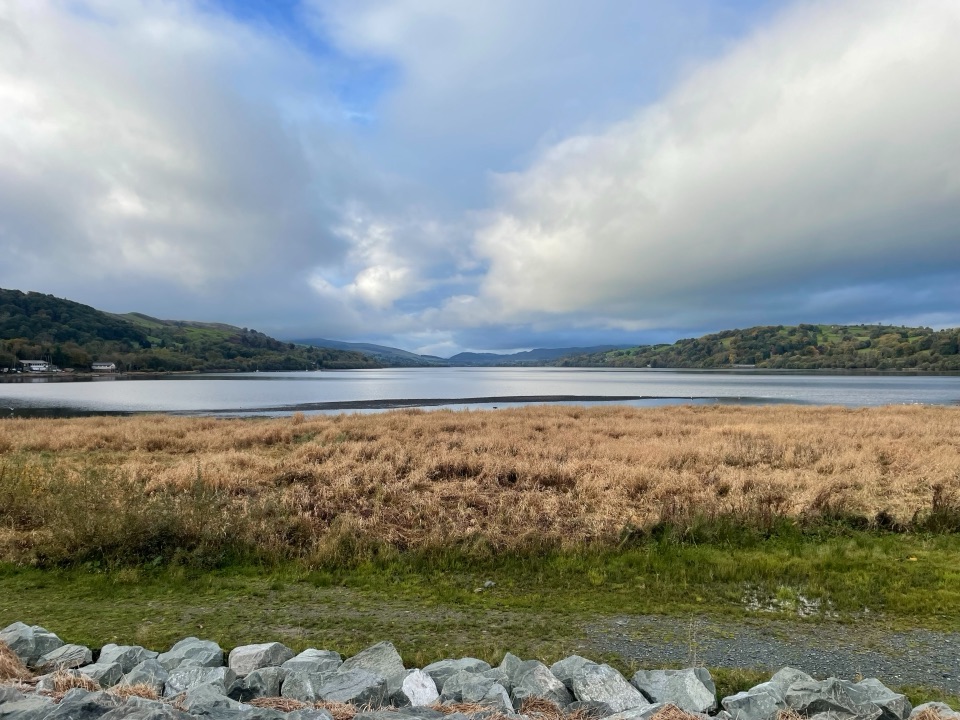 Sight · 9.9 km awayLlyn Tegid (Bala Lake)Wales’ largest natural lake, framed by mountains and weather
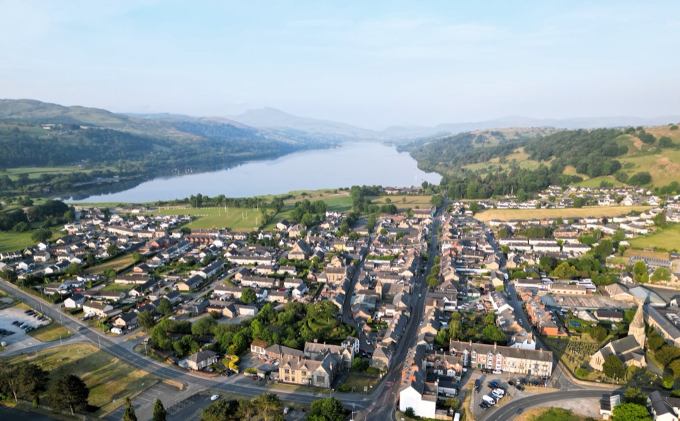 Sight · 10 km awayY BalaA Welsh market town with a lake, river, and mountain backdrop
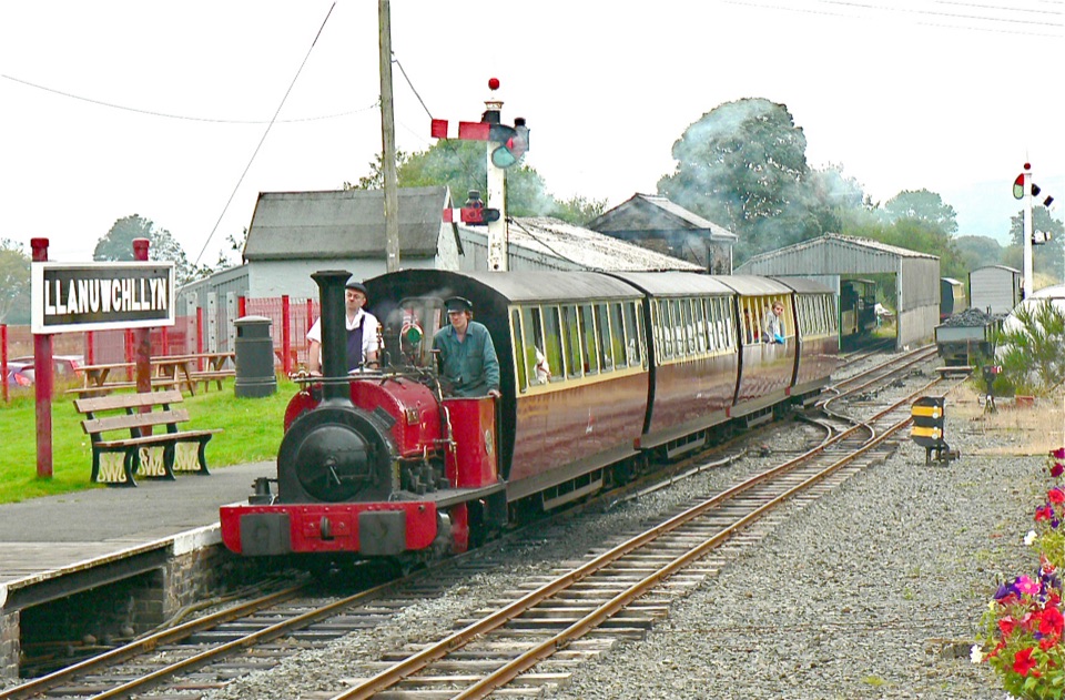 Sight · 10.5 km awayBala Lake RailwayNarrow-gauge steam along Llyn Tegid, with Aran and Arenig views
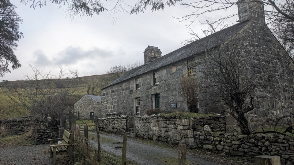 Sight · 11.6 km awayYr YsgwrnA preserved farmhouse where Welsh poetry meets wartime memory
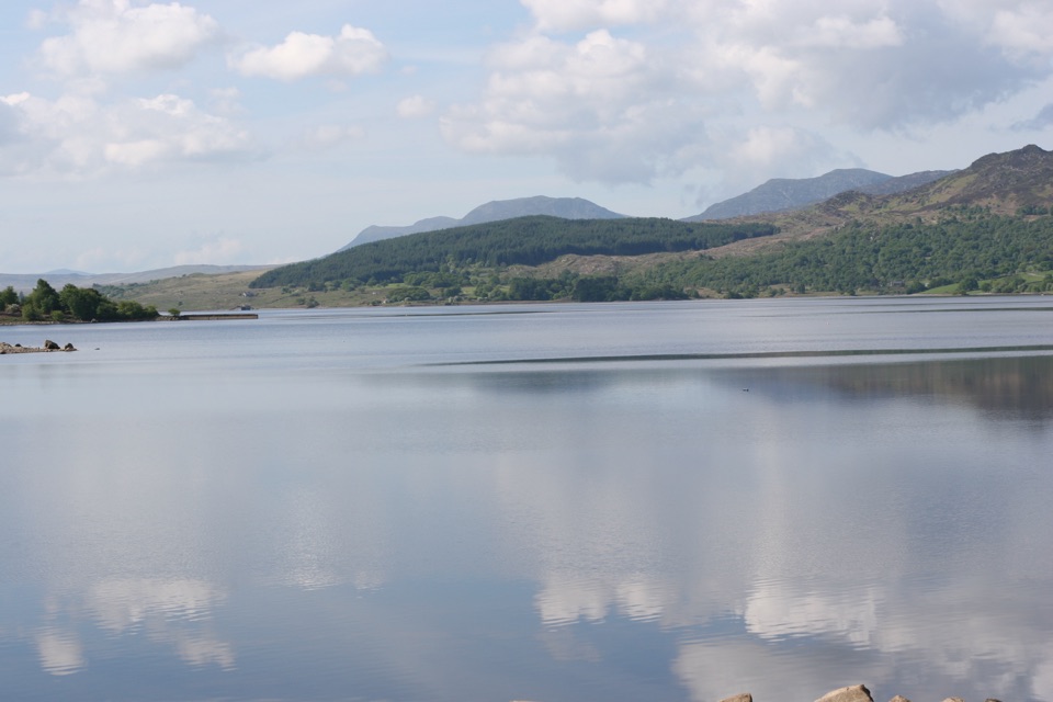 Sight · 14.1 km awayLlyn TrawsfynyddOspreys, wild brown trout and an eight-mile loop around dammed water
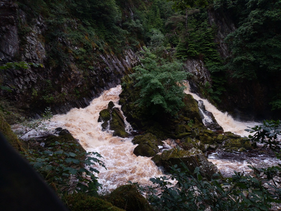 Sight · 14.4 km awayConwy FallsA rushing gorge waterfall wrapped in ancient woodland
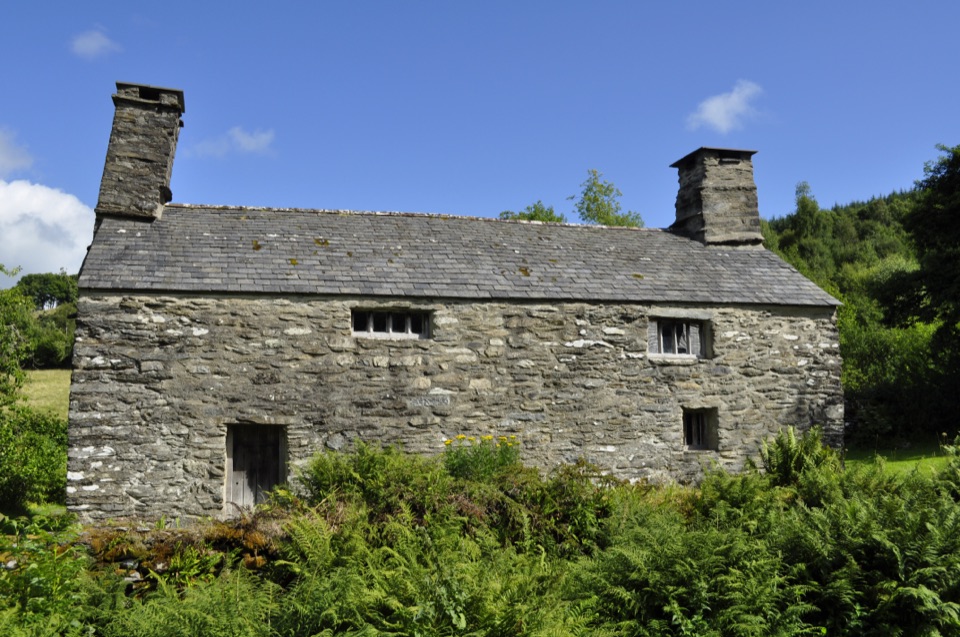 Sight · 14.5 km awayTŷ Mawr WybrnantA quiet Tudor farmhouse tied to the Welsh Bible's defining translation
Parkwolf’s Eryri ranking

The audio tour guide for the drive, plus offline maps, trails, and wildlife heatmaps for when the signal drops.




