
Place · 3.3 mi away
Tucked into the Cape Sable backcountry near Flamingo, Lake Ingraham is a sprawling, roughly 1,900‑acre wilderness lake that blends freshwater and saltwater influences. It’s about solitude, big skies, and open water—more a destination for adventurous boaters and anglers than casual sightseers. Locals sometimes call it “Whitewater Lake” thanks to clearer sections that stand out from the typical brackish Everglades look.
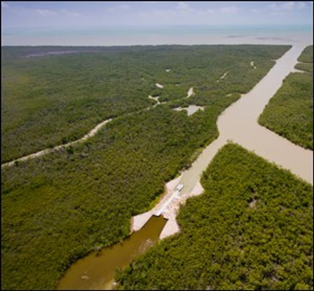
Lake Ingraham is the southernmost lake in the continental United States. It’s flanked by tidal creeks and tied into two historic canals—Middle Cape Canal toward the Gulf of Mexico and East Cape Canal toward Florida Bay—creating an unusual mix of habitats from open water to barren mud flats.
There’s no road or developed shoreline here. Most people reach the lake by boat via East Cape or Middle Cape canals; shore approaches from Cape Sable exist but are rough and undeveloped. Expect broad, windswept water, mangrove margins, mud flats, and remnants of old canal work—pure, unvarnished Everglades wilderness.
Anglers come for both freshwater and salt‑influenced species—common snook, black drum, redfish, and even lemon shark have been noted. The area also supports American crocodiles. Wading birds and raptors frequent the marshy edges. This is wild country; give wildlife space and keep your wits about you.
Shallow flats are common, and community reports mention periodic silting around the East Cape area. Plan your route carefully, keep an eye on tides and wind, and use GPS with current charts—the lake and surrounding flats can feel featureless and disorienting.
There are no amenities on or directly at the lake—no restrooms, no water, no stores, no picnic areas. Bring everything: fuel, water, food, sun and bug protection, and a solid safety kit. In hot months, biting insects and heat can be punishing.
Go on calm mornings for easier navigation, better fishing, and nicer light. Weekdays see the fewest boats. Always check current canal conditions and weather before committing to the trip.
Place · 3.3 mi away
Place · 5.1 mi away
Place · 7.8 mi away
Place · 11 mi away
Challenging · 10.4 mi away
Easy · 10.4 mi away
Easy · 11.1 mi away
Easy · 11.9 mi away

Parkwolf Tour Guide
